Jun 24, 20267 min read
How to Get Around in PeruJun 23, 2026
9 MIN READ

Writer
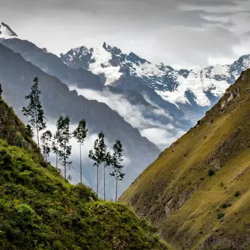
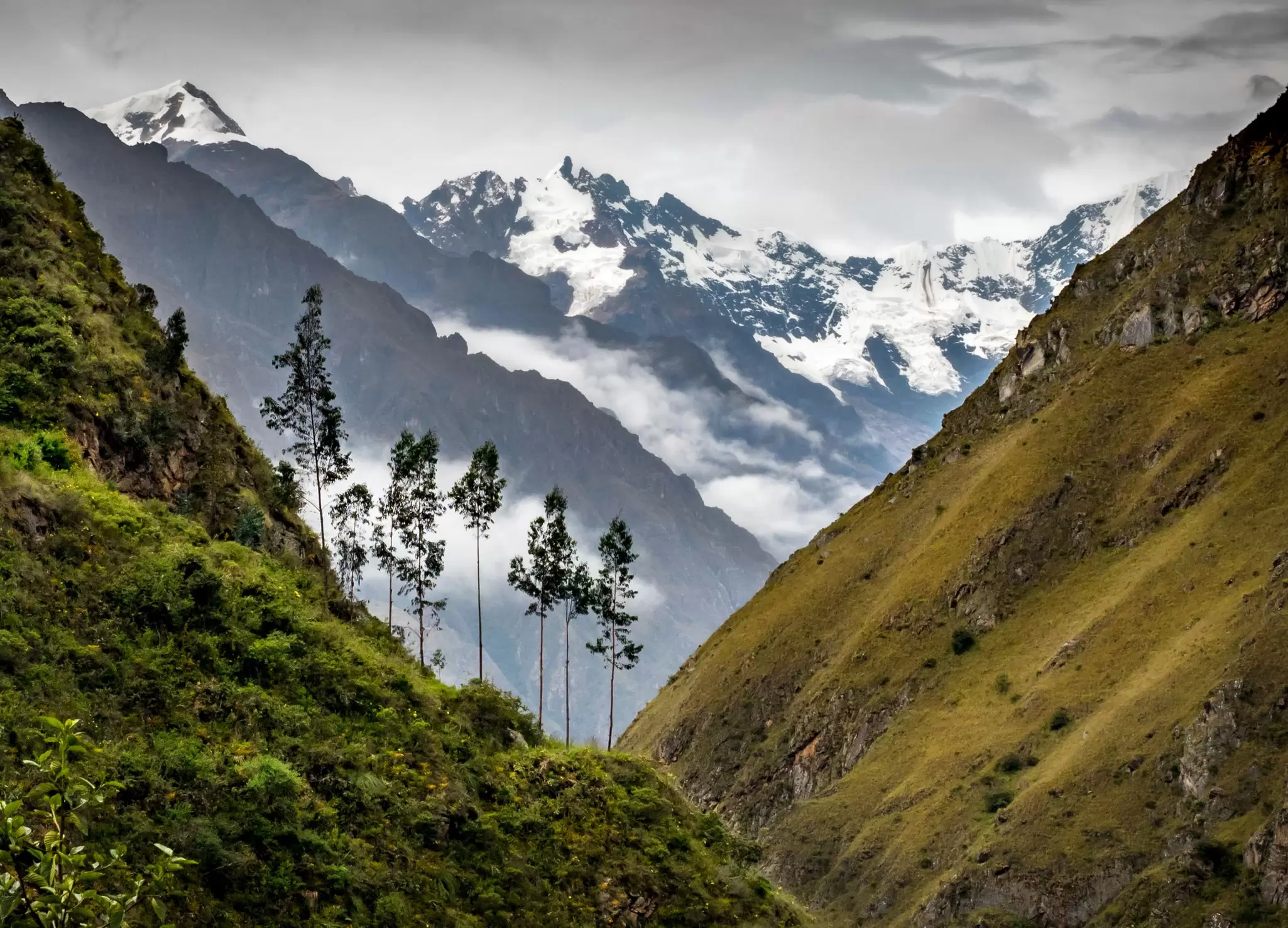
A view from Wayllabamba village on the Inca Trail, Peru. Kath Watson/Shutterstock
Writer
Highlights
Writer Agnes Rivera picks eight hikes across Peru's mountains, jungle and desert coast.
Hike the Inca Trail to Machu Picchu or tackle Choquequirao's uncrowded Inca ruins.
Head to Laguna 69 in Huascarán or the Cordillera Huayhuash circuit, both based around Huaraz.
Lomas de Lúcumo and Marcahuasi offer Lima escapes; Gocta and Colca Canyon reward longer journeys.
Lonely Planet may earn a commission from affiliate links on our site. All recommendations and reviews reflect our own independent opinions.
Distinguished by three topographical regions – mountains, jungle, and arid coast – Peru is an ideal destination for outdoor enthusiasts as all roads seem to lead to a superb hiking trail.
Ascending the Andes at a steady pace brings you to exhilarating, high-elevation lakes of an azure hue while venturing to the Amazon region offers the chance to view an exquisite array of flora and fauna that are far from the main roads.
Finally, at a lower elevation and far less humid climate, the desert coast surrounding Lima's capital has a few lesser-known gems that will delight hikers at every skill level.
Strap on your boots as we discover the best hikes in Peru – to Machu Picchu and beyond.
Best for a classic Peru hike
Distance: 42 km (26 miles) one way
Estimated time to complete: 3-5 days
Level of difficulty: Difficult
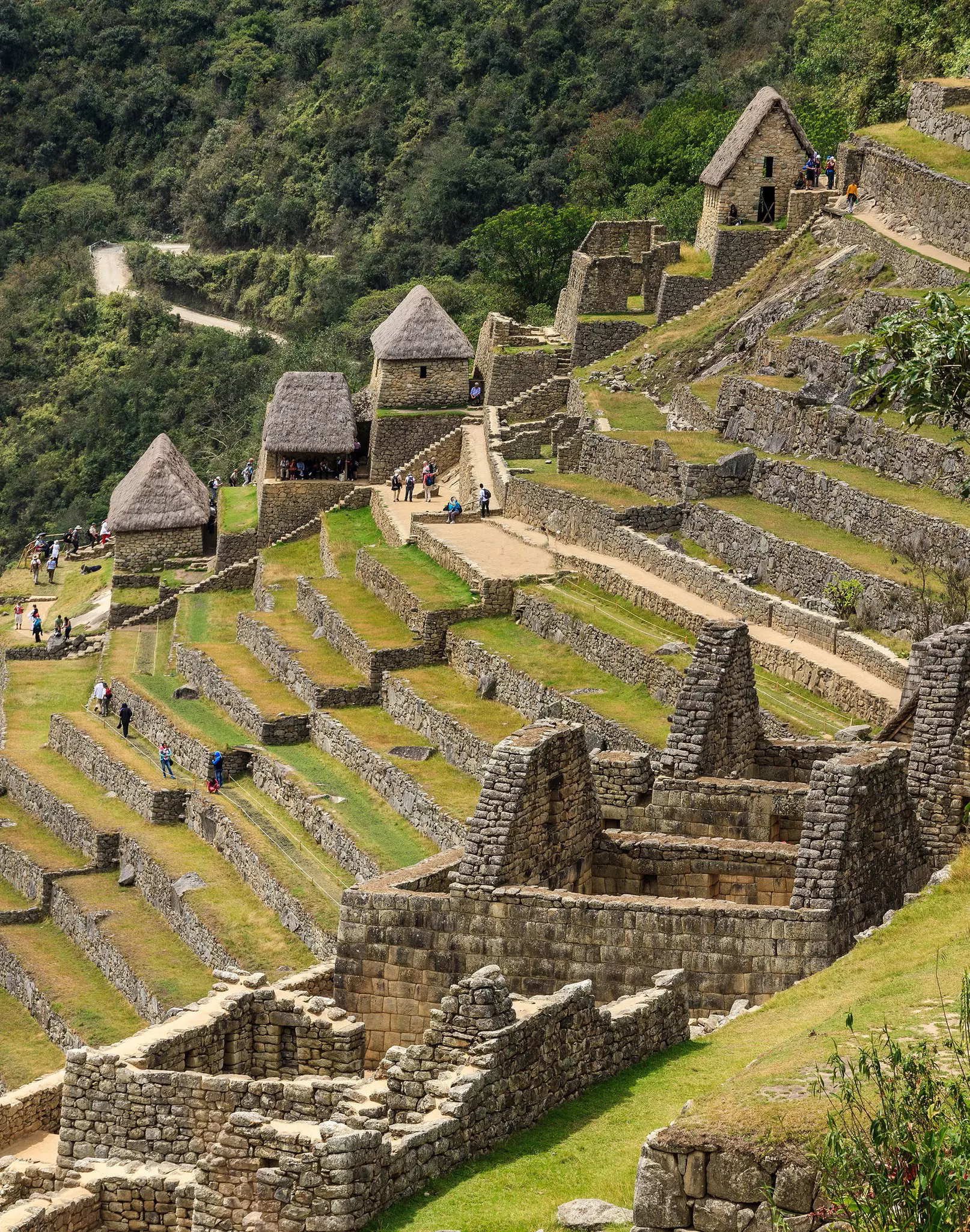
Rugged and of high altitude, the ancient Inca Trail (Camino Inka) has become the most famous trek in Peru thanks to its spectacle of diverse landscapes and termination point at the famed Machu Picchu.
Starting on relatively flat terrain from Kilometer 82 of the Inca Trail, the classic route steadily ascends as it cuts through valleys, Andean villages and mountains, crosses rivers, and confronts smaller Inca ruins. The final climb is up a set of stairs that lead to the Sun Gate (Inti Punku), from where Machu Picchu can finally be seen. After exploring the site, most hikers spend the night in Aguas Calientes before returning by bus.
As a means of preservation, a maximum of 500 persons are allowed on the 15th-century trail per day, 300 of which are required guides and porters. This hike needs to be planned months (if not a year) in advance for two main reasons: bookings for the Inca Trail tend to sell out quickly and, with an elevation that passes 4200m (13,780ft) above sea level, proper training is vital.
Best to veer off-the-beaten-path
Distance: 45km (28 miles)
Estimated time to complete: 4-5 days round-trip
Level of difficulty: Strenuous
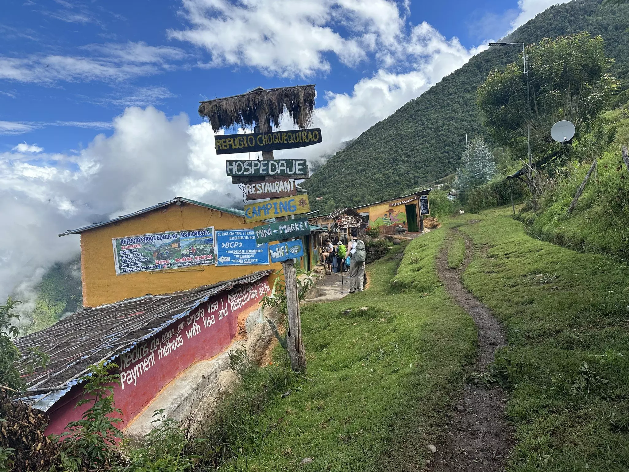
Authentic and uncrowded, Choquequirao is the more challenging and isolated alternative to Machu Picchu for avid hikers seeking a route steeped in Inca history.
Located in the Apurimac Valley, this archaeological site (whose name can be translated to "cradle of gold") is believed to be three times the size of its more famous sister city and can only be reached by foot (as opposed to the floods of tour buses that frequent Machu Picchu).
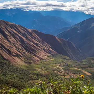
The starting point is the Capuliyoq pass in Abancay, from where trekkers descend into the Apurimac Canyon. Terraced farmlands that trace the edge of the canyon’s namesake river eventually give way to an exhilarating shift from vertical desert to high-altitude jungle as hikers climb their way to the site.
Finally, after reaching 3050m (10,006ft) above sea level, you can revel in an eye-level view of the spectacular ruins. Not even half of what archaeologists believe to remain of Choquequirao has been uncovered, and yet, the 12 visible sectors sprawling across three hilltops are incredible to take in – especially when accompanied by no more than a handful of other hikers, if any.
Best for families
Distance: 4km (2.5 miles)
Estimated time to complete: 2.5 hours round-trip
Level of difficulty: Easy
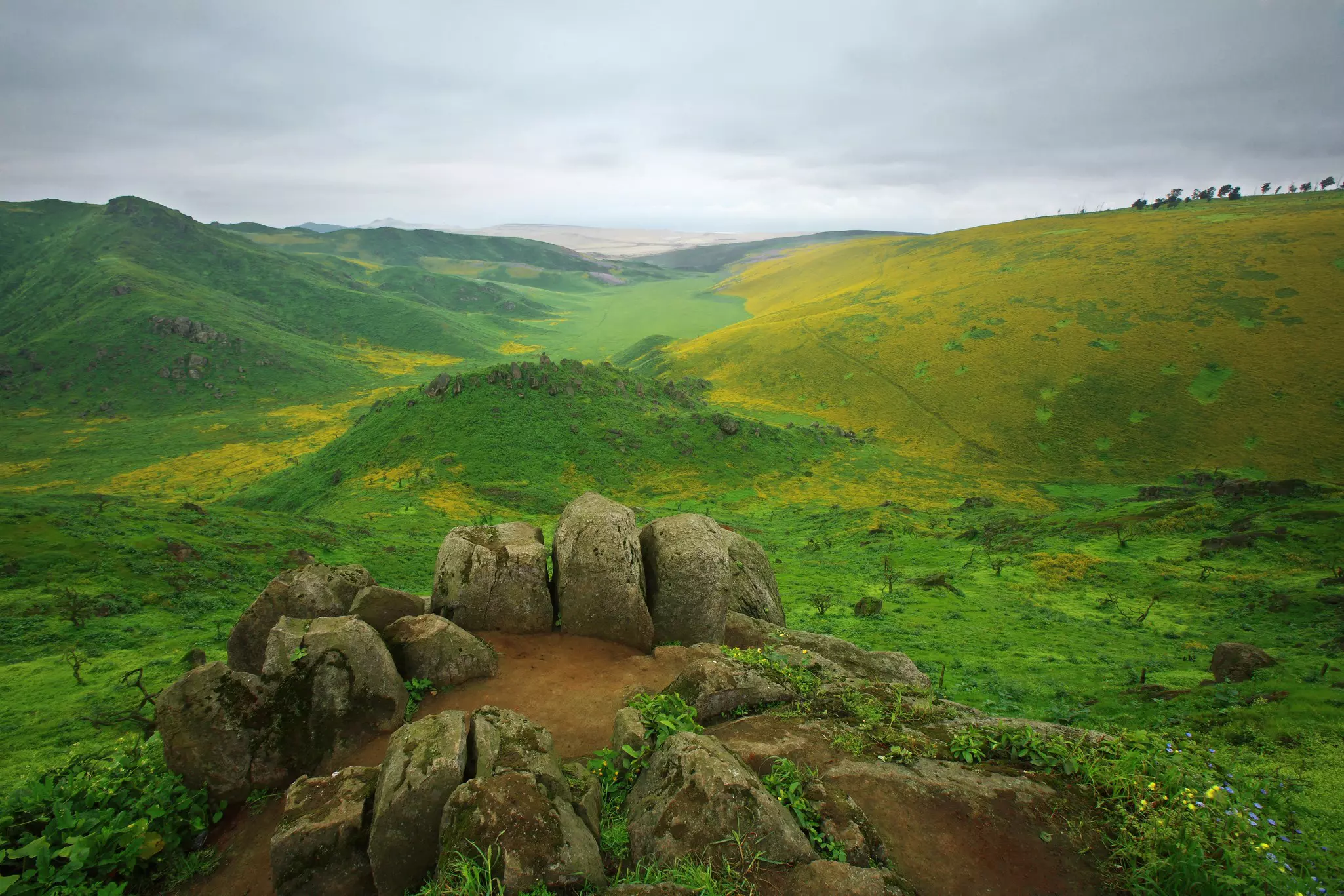
As hard as it may be to believe, soft slopes of lush vegetation are just an hour's drive outside of Peru’s desert capital, Lima. Lomas de Lúcumo is the result of a peculiar climatic occurrence whereby ocean mist is trapped in the hills, springing verdant vegetation to life during the southern hemisphere’s winter months (June to September).
Navigate the sea of green following the trail known as Los Guardianes, the shorter of two marked loops (the other trail is the 6.5km-long Los Lúcumos). Spot caves with interesting markings, a rock climbing area, and quite a bit of wildlife (if it's not too crowded). Try to visit during the middle of the week as the trails tend to fill up on weekends with students and families. Located in the district of Pachacamac, this outdoor excursion can be paired with a visit to the Pachacamac archaeological site and a typical chicharrón (fried pork) sandwich in the nearby town of Lurín.
Best for camping from Lima
Distance: 8km (5 miles)
Estimated time to complete: 6-8 hours
Level of difficulty: Difficult
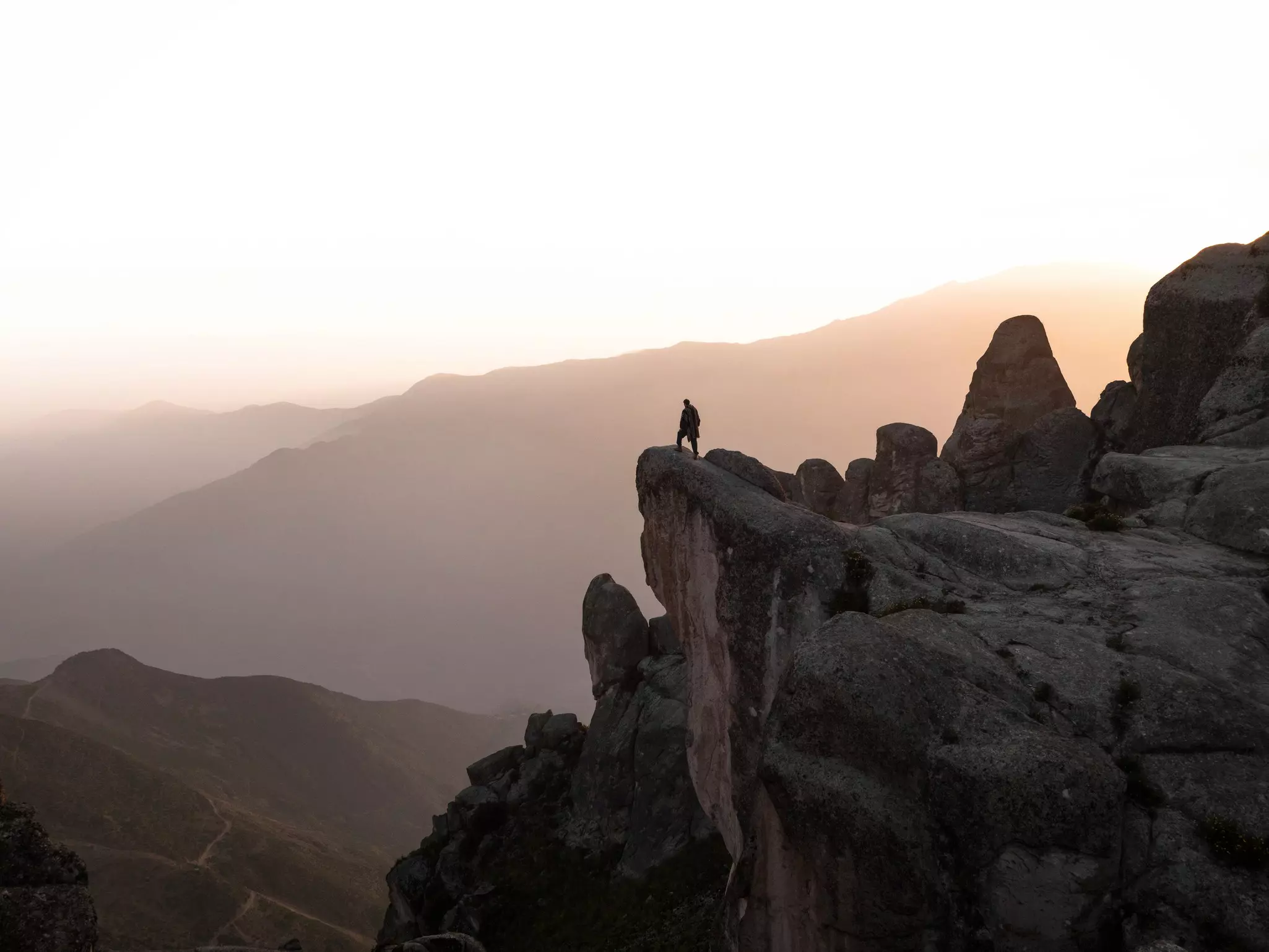
Surreal topography and rock formations make Marcahuasi a magical overnight camping destination if visiting from Lima. The trailhead is a six-hour drive from the capital city and while the distance of the hike is not so long and the trail itself well marked, the true challenge is overcoming the altitude.
Standing at 4000m (13,123ft) above sea level, Marcahuasi is a naturally formed stone forest with curious carvings of human faces and animals. It is considered by many locals to have healing powers and the view of a clear night sky full of stars is undeniably awe-inspiring. With a quick elevation gain, it is important that hikers of all levels are acclimatized before ascending to Marcahuasi. When paying the entrance fee at San Pedro de Casta, you can also rent horses and donkeys.
Best day hike in Huaraz
Distance: 13km (8 miles)
Estimated time to complete: 5-6 hours round-trip
Level of difficulty: Moderate
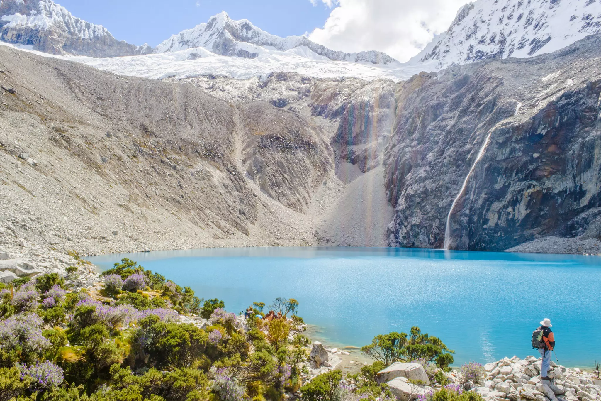
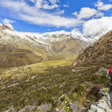
Located in Huascarán National Park, Laguna 69 is one of the most picturesque places in Peru – if not all of South America – and yet only a handful of tourists that visit the Andean nation make the time to visit it.
With snow-capped mountains in the backdrop, the still turquoise water is absolutely stunning and well worth the climb. The scenic trek begins after a two hour drive from the city of Huaraz in north-central Peru. Livestock and cattle, cascading waterfalls, and quaint meadows will come and go, but the towering peaks of Cordillera Blanca are steady company.
The trail gently eases into an ascent for most of the route but the last 30-40 minutes are quite a climb. The surface elevation of Laguna 69 is more than 4600m (15,091ft) above sea level, so be sure to spend a day or two acclimatizing in the city of Huaraz beforehand.
Best day hike in the northern Amazon
Distance: 15km (9.3 miles)
Estimated time to complete: 6-8 hours round-trip
Level of difficulty: Moderate
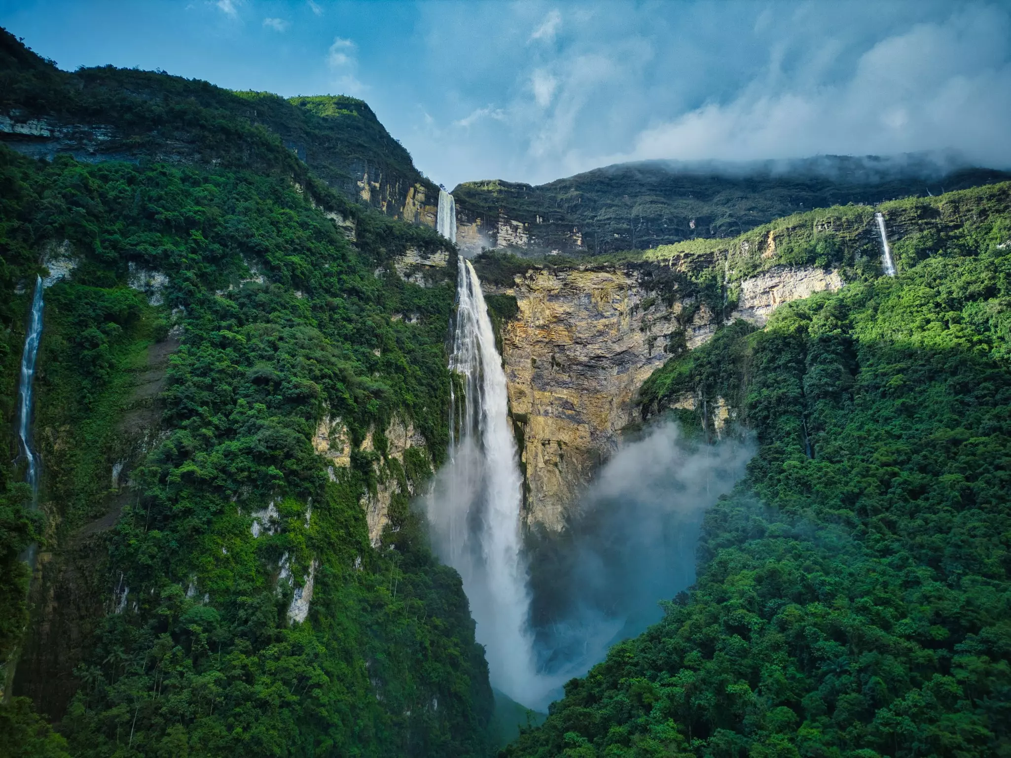
One of the tallest waterfalls in the world, Gocta was only rediscovered and brought to international attention in 2002. Trickling down from the cloud forest of northern Peru’s Amazonas Region, the two-drop waterfall is 771m (2530ft) tall and is hugged by lush flora.
To witness the lower and upper falls, begin the trek at the trailhead in San Pablo, a short bus ride away from Chachapoyas (where most travelers stay). Well-marked, the trail leads past small villages and coffee plantations as well as plenty of viewpoints of canyons and deep valleys.
The hike to the upper fall is more scenic but the complete view of Gocta seen from the base of the lower fall is unparalleled. The loop finishes in Cocachimba from where transportation back to Chachapoyas can be found. The best time to complete the full circuit to Gocta waterfalls is between April and June, just after the rainy season has ended and before tourism picks up.
Best to explore the deepest canyons in the world
Distance: 8km (5 miles)
Estimated time to complete: 2 days round-trip
Level of difficulty: Moderate
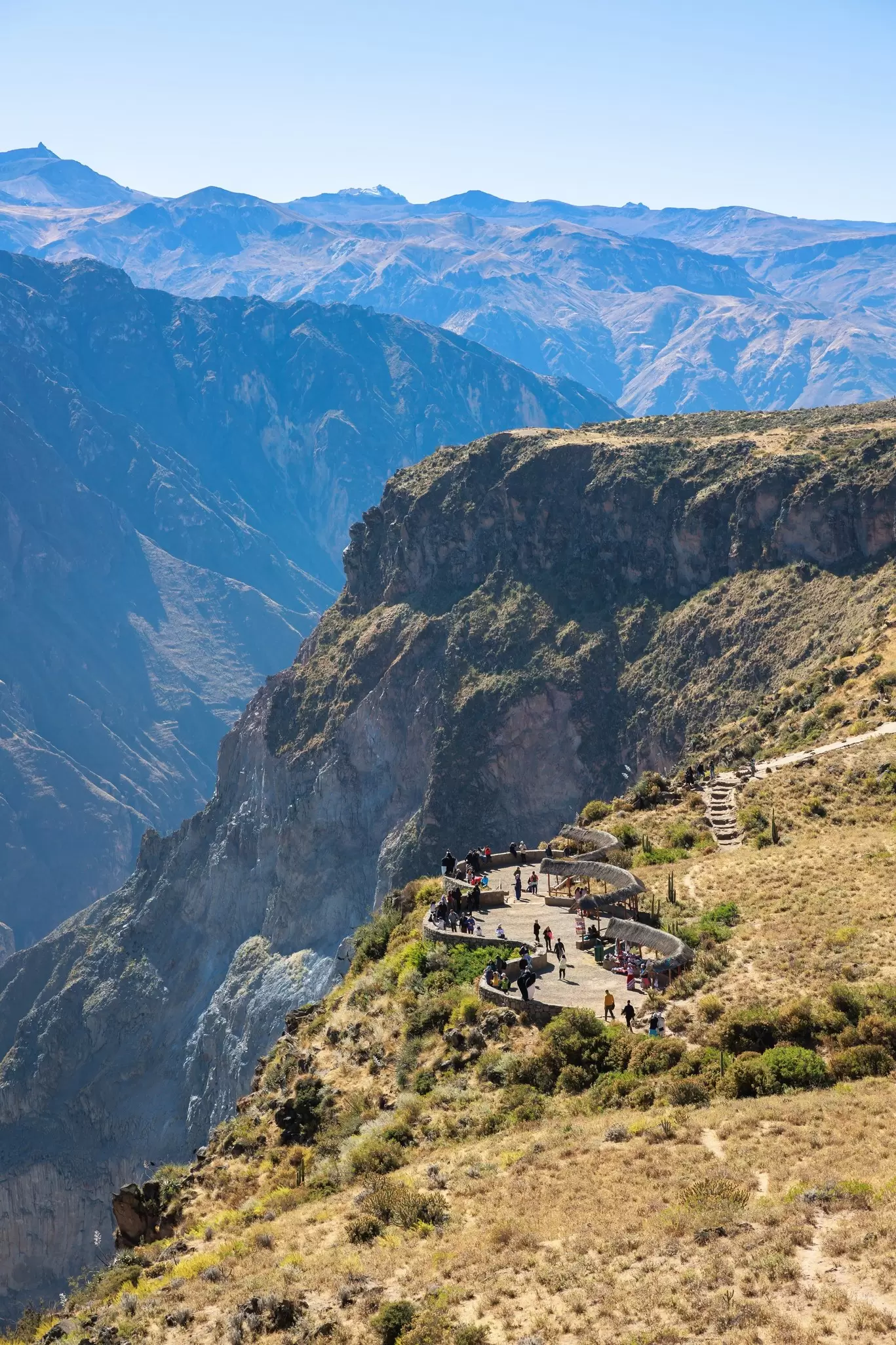
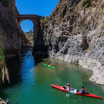
The world’s second-deepest canyon, Cañón del Colca is cradled by desert hillsides six hours outside of Arequipa city and swooped over by the impressive Andean condor.
There are various trails that lead down the terraced hillside and back up the 3400m-deep canyon (11,155ft), connecting small pueblos along the way. Day hikes from the nearby Colca Valley town of Chivay down to the hot springs are certainly enjoyable, but the thrill of camping in the bed of the canyon should not be missed if time permits. The Cabanaconde–Sangalle–Cabanaconde route is a well-trodden yet scenic path as the village tucked in the depths of Colca provides hikers with comfortable overnight accommodations and refreshing swimming pools.
This is not an extensive hike and can be done without a guide. It is possible to complete it in one day, but the two-to-three-hour climb from Sangalle Oasis (2150m/7053ft above sea level) back up to Cabanaconde (3280m/10,761ft) is best done in the cool morning hours. Either way, bring lots of water and sunscreen.
Best for a mountain trek
Distance: 120km (75 miles)
Estimated time to complete: 12 days
Level of difficulty: Strenuous
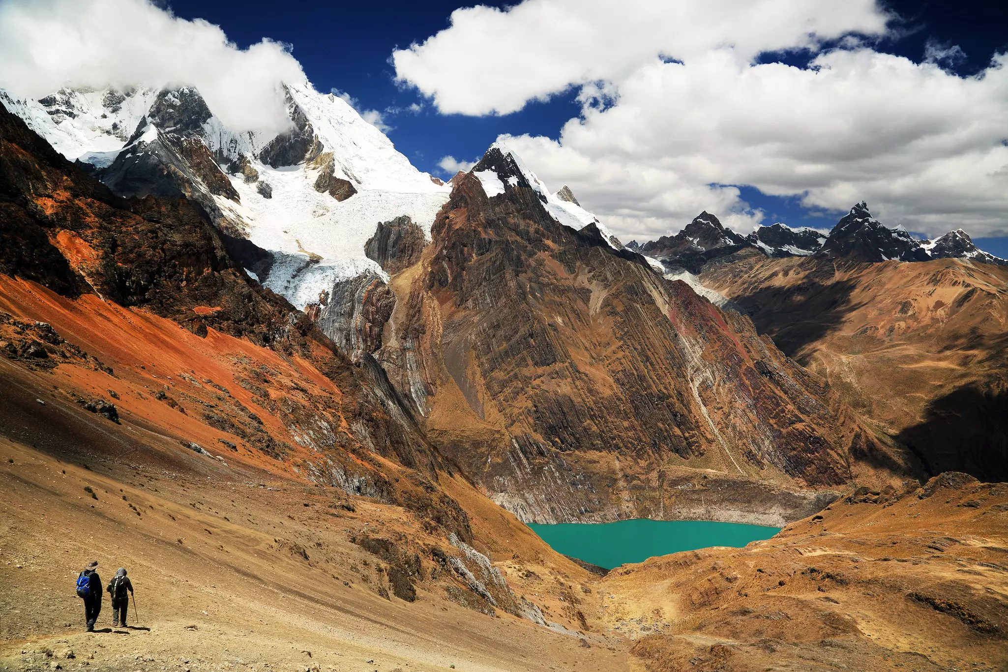
Four decades have passed since the publication of Joe Simpson’s incredible mountaineering story Touching the Void and adventurists around the world continue to visit Peru to create their own (hopefully less dangerous) narrative of this epic route.
Azure glacial lakes, Andean peaks blanketed in the purest snowfall, and a surprising diversity of flora and fauna paint the scene of this near two-week hike that dabbles 4000-5000m (13,123-16,404ft) above sea level – such natural beauty has gained the Cordillera Huayhuash trek a reputation as one of the top hiking circuits in the world.
Acclimatize in Huaraz before heading off to Cuartelwain (a five-hour drive), from where each consecutive day will average six hours of hiking until finishing in Llámac. This circuit is best completed during the dry season (May to September). Due to the extreme length and altitude of this trek, it's rare to pass people other than the settlers who have made a home in the mountain chain, often accompanied by alpacas or llamas. For this reason, its a good idea to book a guide, regardless of your hiking experience.
Book your Peru trip with Lonely Planet Journeys
See Peru how it's meant to be seen
Planned by local experts and tailored to you, Lonely Planet Journeys handles the logistics so you can just enjoy the trip. Tell us what you want and we'll build your Peru itinerary from scratch, or browse our bookable trips to get inspired.
Explore related stories