
Advertisement
New Zealand
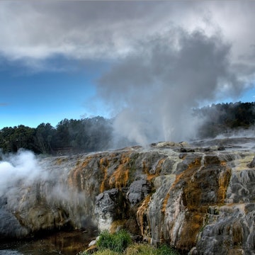
Get ready for mammoth national parks, dynamic Māori culture and world-class surfing and skiing. New Zealand can be mellow or action-packed, but it's always epic.

Janice Chen / Shutterstock
Latest Stories
- Lonely Planet Editors|May 14, 2026The 12 best beaches in New Zealand
- Jessica Lockhart|Apr 15, 2026How to book New Zealand's coveted Great Walks
- Melissa Yeager|Apr 13, 2026How I visited New Zealand from North America in just 10 days
- Roxanne de Bruyn|Apr 9, 2026The best places to visit in New Zealand
Book
Trip 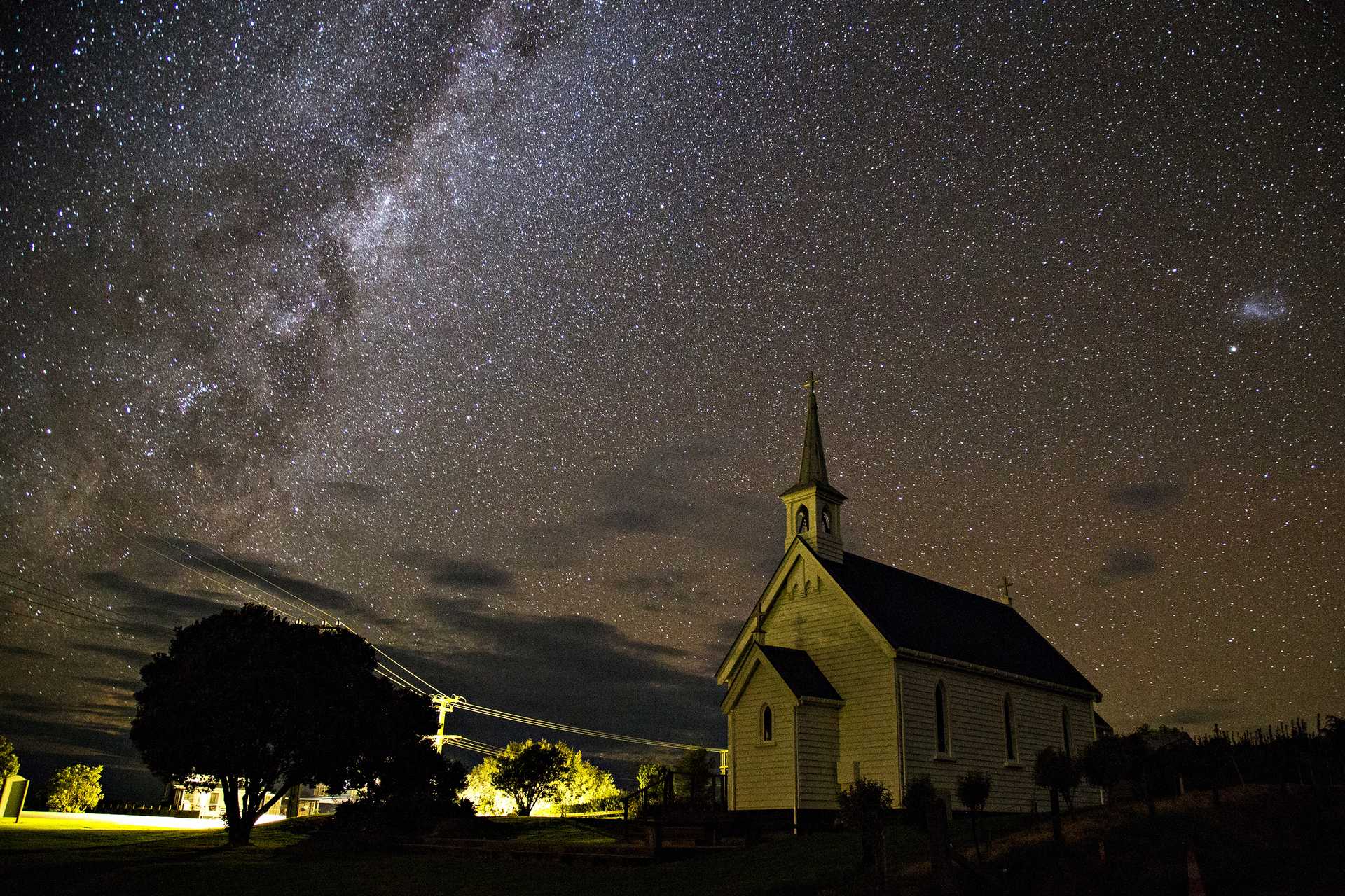


Trusted Partner
Dreaming of New Zealand? Protect your trip
Travel with confidence. Protect your trip and your wallet.
We don’t represent World Nomads, we receive a fee from quotes using this link. This is not a recommendation to buy travel insurance.
Take your New Zealand trip with Lonely Planet Journeys
Pick one of our ready-to-book trips or fully customize your own with help from our local experts.
bookable trip
11 Days in New Zealand: Wairarapa Stargazing
11 days / 10 nights
highlights
- 1 Playing beekeeper for a day during an immersive beekeeping experience at a local hive
- 2 Gazing at constellations in the vast cosmos at Wairarapa Dark Sky Reserve
- 3 Hiking Kawakawa Station on a three-day trek with stunning coastal views
from $6,500
per person


Explore more trips
Explore more trips
-
 New Zealand
 -
 New Zealand
13 days / 12 nights
13 Days in New Zealand: North and South Island Adventure
View ItineraryFROM $5,940
per person
New Zealand
New Zealand
13 days / 12 nights
13 Days in New Zealand: North and South Island Adventure
FROM $5,940
per person
Top places to visit in New Zealand
Discover the best attractions in New Zealand from must-see sights to unexpected hidden gems.
-
 Attraction in Ponsonby & Karangahape RdKarangahape Road Art Gallery Trail
 -
 Attraction in Bay of Islands & NorthlandTāne Mahuta
 -
 Attraction in Bay of Islands & NorthlandTe Matua Ngahere
 -
 Attraction in NapierDaily Telegraph Building
 -
 Attraction in WellingtonWellington Botanic Gardens
 - Attraction in Waiheke IslandMan O' War
-
 Attraction in AucklandAuckland Zoo
 -
 Attraction in AucklandNorth Head
Advertisement
Travel Guides
New Zealand travel tips from Lonely Planet experts
Find practical guidance from our team of contributors around the world who bring their decades of first-hand travel experience to your next trip.
Best Things to Do
From otherworldly national parks to inspirational Māori cultural experiences to world-class pinot noir, you'll find it all in New Zealand.
Read full article
Best Time to Visit
Pick the perfect time for your visit to New Zealand with this seasonal guide.
Read full article
Things to Know
To visitors, New Zealand can feel comfortingly familiar and completely strange all at once. Here are some key things to know before you go.
Read full article
Transportation
It can be a long way between towns across vast expanses of New Zealand's rolling countryside – connect point A to point B with this transportation guide.
Read full article
Visa Requirements
New Zealand is an incredible country that appears on many travelers' bucket lists. Start planning your trip now with our guide to visa requirements for NZ.
Read full article
Best Road Trips
There's no better way to explore New Zealand than by car or campervan. Here are eight top road trips to put on your dream NZ itinerary.
Read full article
Money and Costs
Affordable travel in New Zealand is possible – if you plan carefully.
Read full article
Best Places to Visit
If you seek epic outdoor experiences and unbelievable landscapes, you'll get your fill of nature with these top places to visit in New Zealand.
Read full article
Get Connected
Keep your cell phone connected in New Zealand with this guide to local service providers, eSIMs and wi-fi networks.
Read full article
Advertisement
Get a book. Get inspired. Get exploring.


in partnership with getyourguide
Book popular activities in New Zealand
New Zealand and beyond
-
 destinationNorth Island
 -
 destinationSouth Island
 -
 destinationWaikato & the Coromandel Peninsula
 -
 destinationMarlborough & Nelson
 -
 destinationBay of Islands & Northland
 -
 destinationQueenstown & Wanaka
 -
 destinationAuckland
 -
 destinationRotorua & the Bay of Plenty
Advertisement