
Best in Travel
The 30 best countries, cities and regions to visit in 2025

See where a Lonely Planet Membership takes you
Plan your trip with Elsewhere, by Lonely Planet
Book with our partner, GetYourGuide

Subscribe to our weekly newsletters to get the latest travel news, expert advice, and insider recommendations
Articles by interest

Every month, we release new books into the wild

Explore the world with our detailed, insightful guidebooks

Stay ahead of the curve with our guidebooks

Uncover exciting new ways to explore iconic destinations

Download instantly and read any time
Aug 10, 2021 • 7 min read

Here are the best free and cheap things to do in Lake Tahoe © Rachid Dahnoun / Getty Images
Lake Tahoe is home to Incline Village – one of the US's most wealthy zip codes – and elegant estates that once belonged to California's social elite. That doesn’t mean access to the lake’s natural beauty and recreational fun is just for the rich and famous. Visitors might have to look a little harder to escape all the parking and entrance fees, or be more strategic about where to go and what to do, but Lake Tahoe is still Lake Tahoe no matter where you dip your toes. There are numerous community organizations that are warm, welcoming and downright enthusiastic to share their historical, cultural or environmental knowledge – at no cost. From local history to scenic road trips, here are some of the places to catch Lake Tahoe’s good vibes for free.
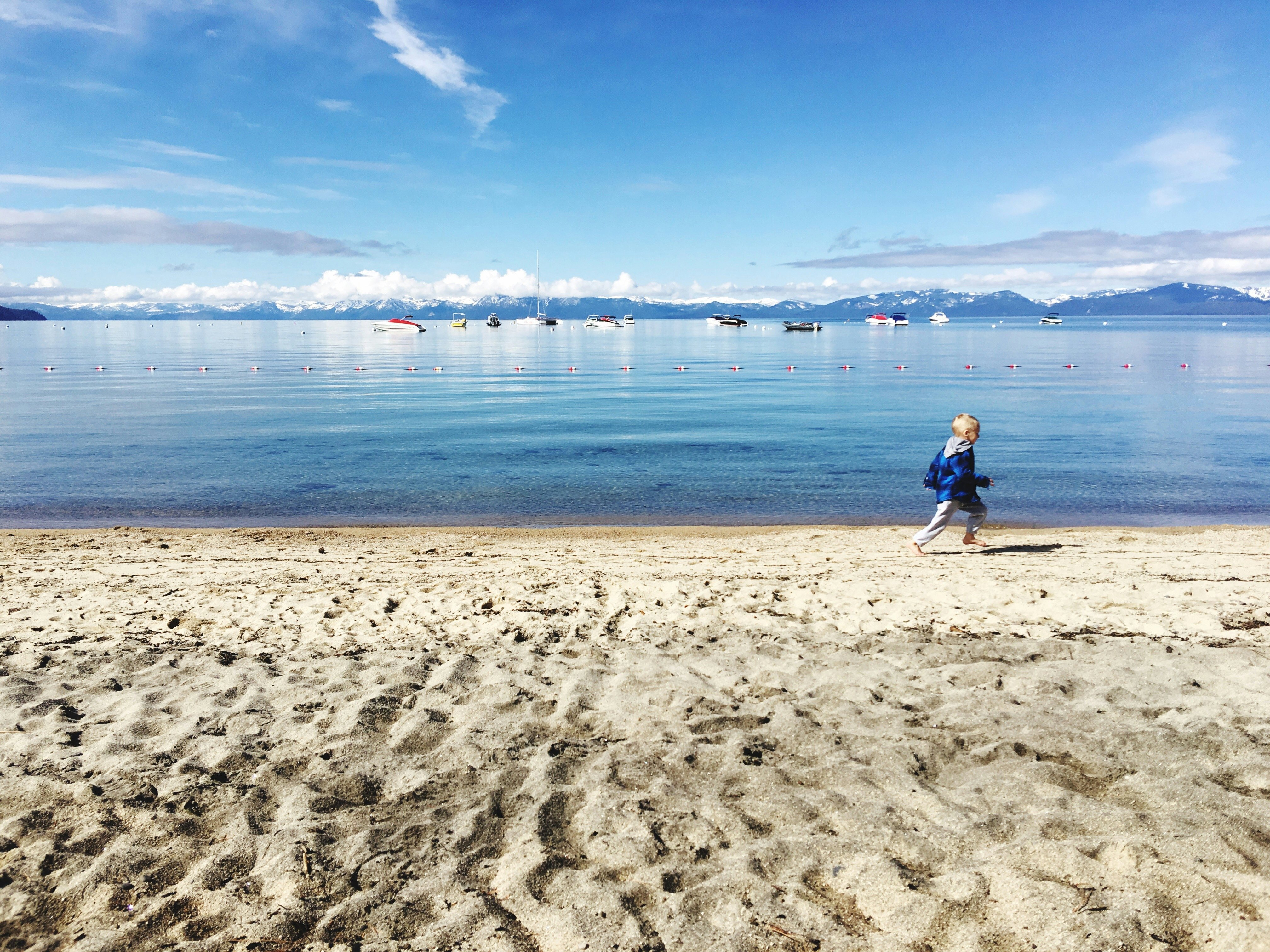
One of the most frequent questions asked by visitors is if there are any free beaches in Tahoe. The simple answer is yes, but the trick is finding a spot to park. Leaving the car roadside and traipsing down Tahoe’s curvy two-lane highways in flip-flops and swim shorts is generally not recommended. Instead, head for one of these free options.
Kiva Picnic Area in South Lake Tahoe (also known as Kiva Dog Beach, Kiva Shoreline or Tallac Point) can be accessed by two different free parking areas. Tallac Historic Site/Kiva Picnic Area Parking is close to bathrooms, a foot-wash station and the picnic area of the 600ft beach. The Taylor Creek Visitor Center is a half-mile walk along Lake of the Sky Trail to the sandier area of the beach. Added bonus: you’ll also have access to the Pope-Baldwin Bike Path from either of these parking areas, putting you a mile in either direction to Pope or Baldwin Beaches.
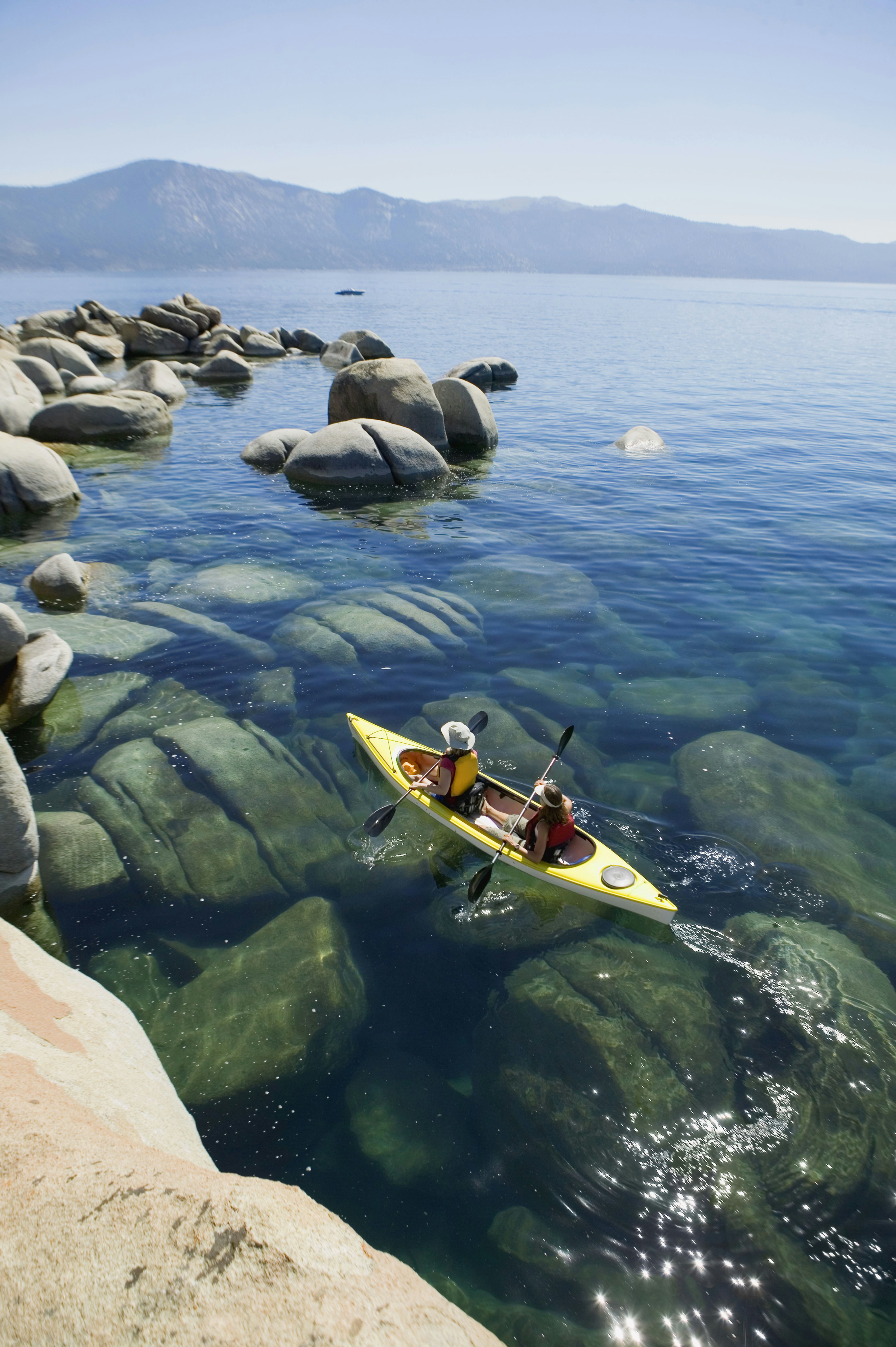
Regan Memorial City Beach, also in South Lake Tahoe, is the city’s oldest public beach and the only one that allows dogs off-leash in a designated area. In addition to a sand volleyball court, there is also a playground and grassy picnic area. A large, free parking lot makes this a convenient site for launching your kayak or paddleboard.
Tahoe City Commons Beach, like Regan Beach, is a mixed grass and sandy beachfront with playgrounds, picnic areas, and a historic jail house. You can rent kayaks and stand-up paddle boards here, and follow the paved pedestrian path around the lake. The trail passes Fanny Bridge, a century-old bridge named for onlookers showing their rear ends while peering over the edge looking for fish. Street parking along Highway 28 is free, but limited to 2 hours. There are also five Tahoe City Public Lots within walking distance. Bonus: Commons Beach offers free movies on Wednesday evenings and free concerts on Sunday afternoons during summer.

The 28-mile Lake Tahoe Scenic Byway winds from Stateline on the California/Nevada border in the south to Incline Village in the north. The Nevada side of Lake Tahoe is notoriously more mountainous and less developed than the Cali side, which makes it perfect for a scenic drive. Follow US 50 and stay in your lane as you succumb to the dark highway beneath 25 yards of Cave Rock. Screaming “tunnel!” as you drive through is strangely satisfying (and free!). Don’t miss your left-hand turn onto State Road 28. Lots of gentle curves weave through towering pines before the road narrows and you catch your first glimpse of the umbrella-staked beach of Sand Harbor. Plan to pull over at Memorial Point or Hidden Beach vistas for photo opps.

If you enjoyed that drive, you might want to continue along 28 to complete the entire 72-mile Lake Tahoe Loop (driving time is just over 2 hours). Once you cross back into California, visit the shops and restaurants of King’s Beach if you're in the mood to spend. For more regional information, stop by the visitor center in Tahoe City. You’ll glimpse plenty of blue views and steer through wild U-turn descents around Emerald Bay. The most surreal is the stretch between Emerald Bay and Cascade Lake where a narrow bridge of land almost makes drivers feel like they are flying above the water. Camp Richardson is a perfect final stop for an ice cream before finishing the loop back at Stateline.
Taylor Creek Visitor Center, Trails and Stream Profile Chamber is an ideal nature stop for all-ages. Located three miles north of South Lake Tahoe on the lake side of Highway 89, rangers provide free walking tours to help visitors appreciate the variety of habitats (marsh, stream, forest, and beach) and their wild inhabitants. The half-mile Lake of the Sky Trail leads to Kiva Beach/Tallac Point. Paved half-mile Rainbow Trail passes by a glass aquarium viewing chamber so visitors can look for trout and other underwater creatures.
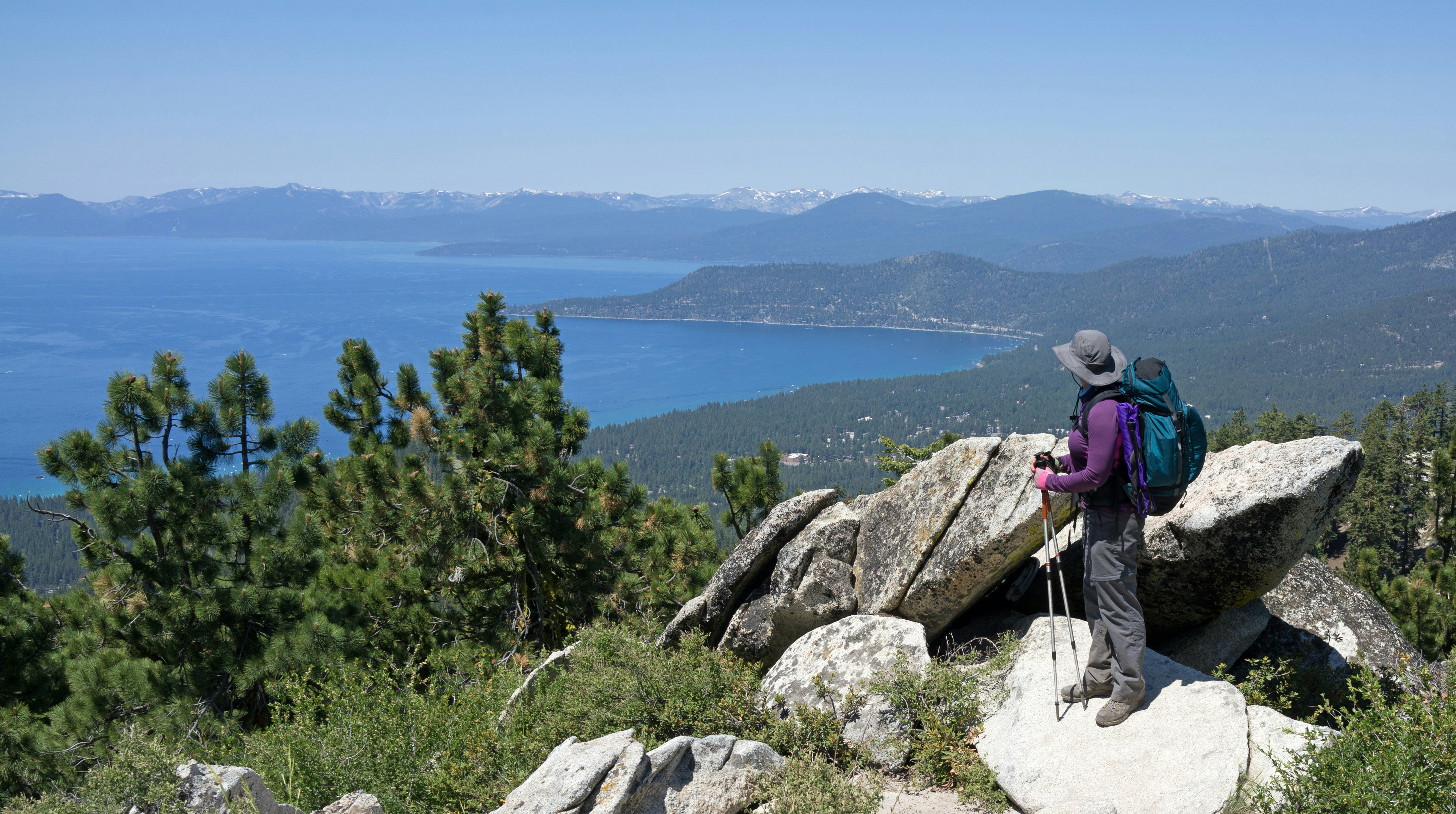
Van Sickle Bi-State Park in Stateline, Nevada affords visitors a fine taste of the Sierran forest with ample opportunity to climb atop big boulders for scoping lake views. Within walking distance of Stateline’s casinos, the park is popular not only with tourists, but with hikers accessing the long-distance Tahoe Rim Trail. More casual hikers can take advantage of the shorter hikes that loop within the park.
Just southwest of Lake Tahoe is Fallen Leaf Lake. Park along the shoulder of Fallen Leaf Lake Road by the campground for easy pathways to the lake or drive a few miles further down the road and park near the fire station for a more strenuous 2-mile hike. Take the Angora Lake Trail for a view of both Fallen Leaf Lake and Lake Tahoe. A small store at Angora Lakes is open in the summer for a mid-hike refreshment. The return hike down Clark Trail finishes at the Fallen Leaf Lake marina. Beware: if you do turn off Fallen Leaf Lake and drive to the official Angora Lake Trailhead, the fee for parking is $10.

Located in South Lake Tahoe, Tallac Historic Site and Lake Tahoe Historical Society Museum are informational hubs to learn about the fascinating history of Lake Tahoe and its people. At Tallac Historic Site, the Tahoe Heritage Foundation has preserved three estates from the 1920s. This pleasant piece of waterfront property is free to wander, with gardens, vintage vehicles, fashion, toys and art from the 20th century. A museum also displays artifacts from the Washoe Indian culture.
The Historical Society Museum offers a more comprehensive look into Tahoe’s past with exhibits that tell the story of the lake’s various uses and development: from the Washoe to the trappers and traders; from the pioneers to the loggers and railroad workers; from the miners, to Pony Express Riders and gamblers; from the residents to the tourists and environmental protectors.
North Lake Tahoe Historical Society in Tahoe City manages the Gatekeeper Museum with exhibits on black bears, the history of skiing in the Sierra Nevadas, the 1960 Winter Olympics and Indian basket weaving. Watson Cabin is also on-site. Built in 1908, it is the oldest standing log cabin in the North Tahoe area.

Four paved bike trails parallel the main highways around the lake, offering a fun, free way to sightsee and bounce between beaches without the hassle of paid parking at every stop.
Along the northern shore, 7 miles of the Incline Village/Lakeshore Drive Bike Path begins at the Incline Village Recreation Center and passes through affluent shops and residential areas before skirting Crystal Bay. On the western shore, Tahoe Trailways Bike Path connects the 9 miles between Tahoe City and Ed Z’Berg Sugar Pine State Park, with options to park at a couple spots in between. Pope-Baldwin Bike Path (3.4 miles) travels through Pope, Kiva and Baldwin Beaches, Tallac Historic Site and Camp Richardson in South Lake Tahoe. A newer trail now also exists along popular beaches on the eastern shore. Tahoe East Shore Trail is 3 miles from Tunnel Creek Cafe on State Road 28 to Sand Harbor State Park.

Sno-Parks are NOT free! But for $5 to park and play in the snow, they are pennies compared to the hundreds you’d spend to downhill ski. With 18 parks dispersed around the lake, finding a winter spot to snowshoe, cross-country ski, sled, or snowmobile is a cost-effective alternative to the slopes.
You might also like:
Best time to visit Lake Tahoe
The best US lakes for recreation
Outdoor fun and indoor luxury in Lake Tahoe