The best bike rides in Boulder (and top tips for cycling them)
Jan 26, 2022
8 MIN READ

Writer
Biking is the only thing more popular than hiking in Boulder © Soubrette / Getty Images

Writer
Lonely Planet may earn a commission from affiliate links on our site. All recommendations and reviews reflect our own independent opinions.
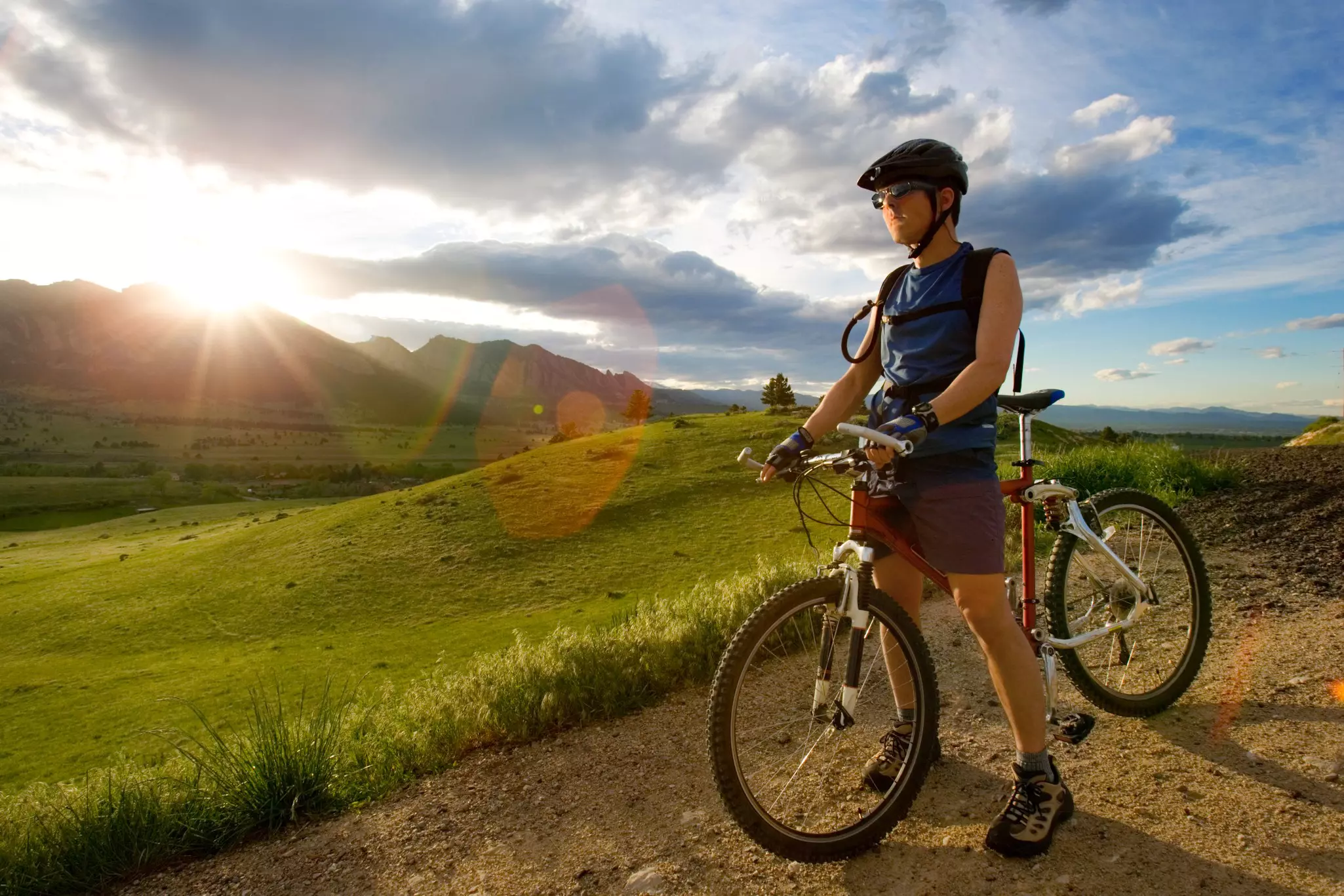
Boulder is a cyclist’s playground, with bike-friendly roads, an extensive network of multi-use paths, and a variety of scenic trails in the foothills of the Rocky Mountains. It's a perfect destination for riders of all types and skill levels.
Reflecting Boulder's outdoorsy ethos, many locals commute to work by bike rather than by car, and residents take full advantage of nearby mountain bike trails and Rocky Mountain roads for a good cycle workout – contributing to a cycling culture that’s unparalleled in most parts of North America.
Biking is hands-down one of the best ways to explore the city. Visitors looking to join in the fun have endless routes to choose from, covering all sorts of terrain. Whether you’re looking for an easy downtown pedal, a long road ride or a scenic mountain bike ride on rocky slopes, here are our picks for the best rides in Boulder.
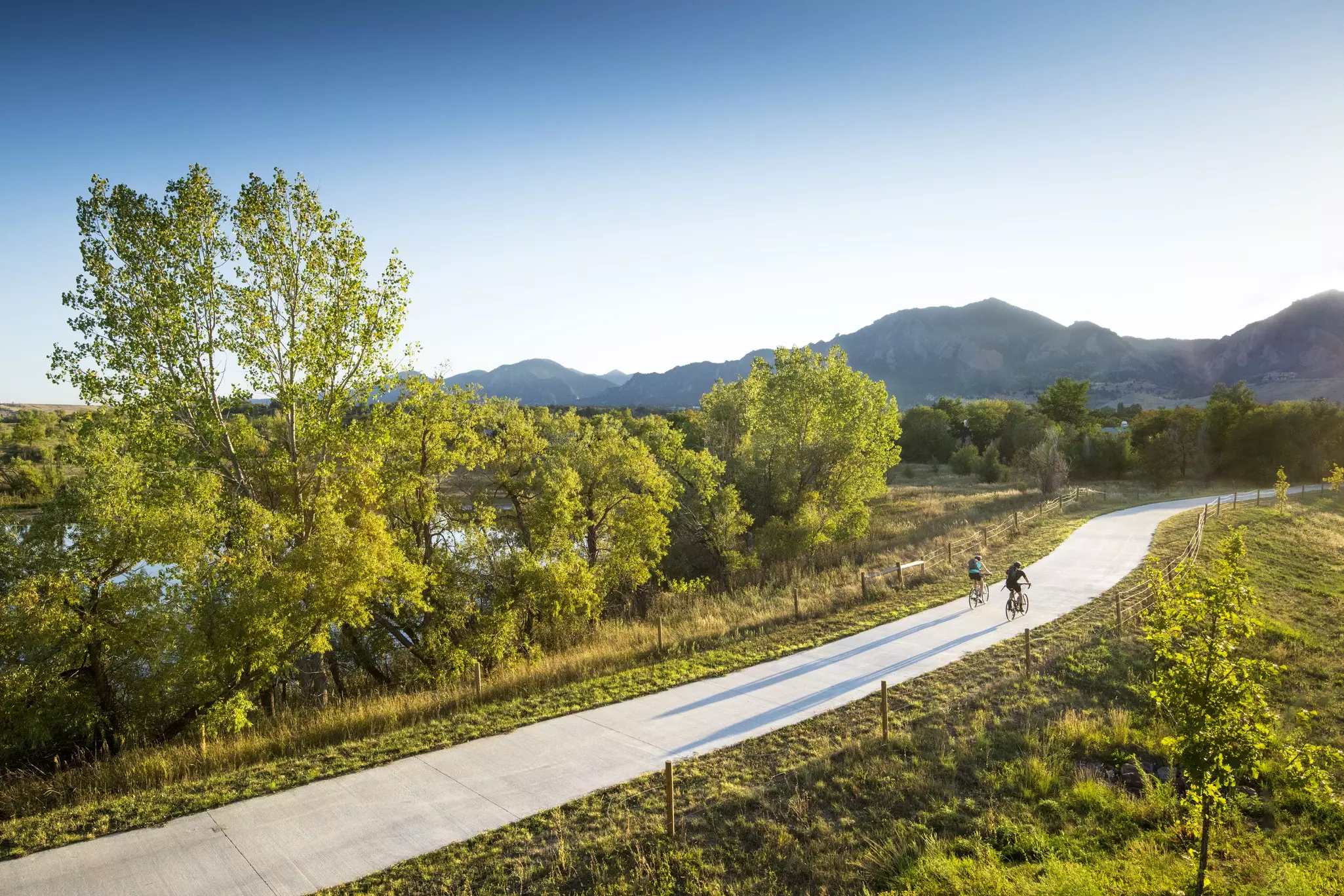
Boulder Creek Path
Best ride for families and downtown exploring
7.5 miles (12.1km) round trip, easy
The Boulder Creek Path is a popular and leisurely ride along the paved multi-use path that bisects the town from east to west, hugging Boulder Creek for about seven miles into Boulder Canyon. The path can be accessed just a few blocks away from the center of downtown, and there are other entry points dotted throughout the city.
This ride is great if you want to experience Boulder's cycling culture but don't feel ready for the mountain roads, or are accompanied by kiddos and want to stay out of motor traffic. If you don't have your own wheels, you can pick up bikes from Boulder's B-cycle bike-share scheme at stations along the path, especially in the sections closest to downtown.
For an easy afternoon excursion via the Boulder Creek Path, consider stopping at scenic Scott Carpenter Park or Eben G Fine Park for a picnic, or just pull over and cool off by diving into the creek anywhere along the path during the summer months.
Betasso Preserve
Best beginner’s mountain bike ride
7.1 miles (11.4km) round trip, easy to moderate
Betasso Preserve is a favorite local mountain biking zone that’s perfect for newcomers to steeper, rockier terrain. It’s located less than 20 minutes away from downtown Boulder by car, and the trails here are shared by bikers, hikers, horseback riders and runners.
The preserve is crisscrossed by multiple tracks and loops that can be strung together into longer rides. The most popular option is to connect Canyon Loop and Benjamin Loop into a 7-mile ride with approximately 768ft of elevation gain. This trail offers stunning mountain vistas, views towards golden plains, and lovely sections weaving through the Ponderosa pine trees.
The Benjamin Loop – located on the backside of the preserve – is steeper and narrower than the Canyon Loop, so first-time mountain bikers may want to stick to the latter track for a short practice ride. However, the full 7-mile loop features a healthy mix of uphill and downhill sections that most riders will find doable, fast and fun.
Just save some energy for a thigh-burning finish, as most of the elevation gain comes towards the end of the ride. Also note that bikes are not allowed at Betasso on Wednesdays and Saturdays, so plan your rides accordingly.
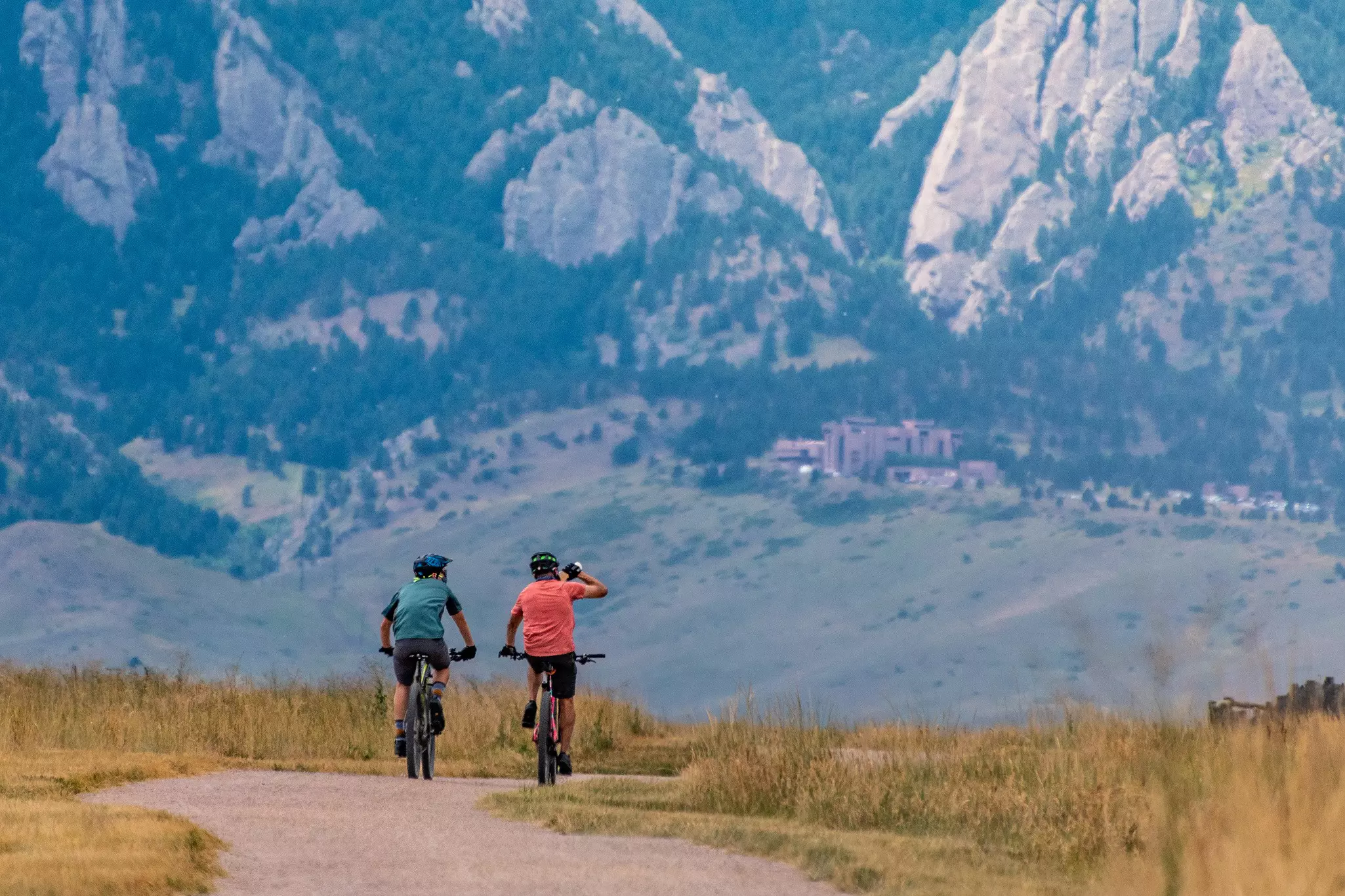
Marshall Mesa
Best all-round mountain bike ride
12.6 miles (20.3km) round trip, moderate
Located just south of downtown Boulder is Marshall Mesa, a rolling mountain biking area that offers sweeping views towards the rocky outcrops known as the Flatirons. The mesa (flat-topped hill) is a popular hub for local mountain bikers, connecting with several other bike trails in nearby Eldorado Canyon State Park. It's a great spot to create your own loop, taking account of your own tastes for distance, difficulty and type of terrain.
Locals like to combine the Coal Seam, Community Ditch, Doudy Draw and Springbrook Loop paths into a ride of approximately 12.6 miles, with approximately 942ft of elevation gain. The backside of this last track takes you to a mesa-top viewpoint looking out over the city, with front-row views of the Continental Divide to the west. It's one of the most spectacular vistas in Boulder.
The Community Ditch and Doudy Draw portions of the ride are mostly smooth, with a flat or gradual incline, while the Coal Seam and Springbrook sections are steeper and rockier. Mountain bikers with a bit of riding time under their belt should have no problems with the full loop – it's bumpy in places but not considered overly advanced riding.
This trail comes into its own during the spring, when the weather turns other local tracks into muddy quagmires. Being high and exposed, Marshall Mesa gets plenty of sunlight on clear days, helping snow melt faster and mud dry quicker, calling riders back to the trails at the first sign of warmer, drier weather.
Flagstaff Road
Best scenic hill climb
18 miles (28.9km) round trip, hard
Loved by local cyclists, the Flagstaff Road is a long, twisting mountain road that begins at Chautauqua Park near the base of the Flatirons. This road is one of the steepest in town and while the climb to the top is brutal, the views along the way make it all worthwhile. This is one of the most popular rides in Boulder, and it can get busy on sunny afternoons.
The uphill climb begins almost the moment you start pedaling. One of the first potential rest points is Panorama Point, an aptly-named overlook that offers stunning views over Boulder Valley. Afterward, the road continues to climb through a series of increasingly steep switchbacks.
You can stop at Realization Point for a shorter variation of the ride, or continue up to Lost Gulch Overlook, where you can take in views towards Indian Peaks and Rocky Mountain National Park, before finishing the ride at the Gross Reservoir parking lot.
Wherever you decide to turn around and head back, the return leg is an adrenaline-charged descent down the mountain. The steep hills and hairpin turns on the way down can be just as challenging as the climb up, so make sure your brakes are tuned up before you set off – you’re going to need them!
Watch out for motor traffic, both on the way up and on the way down. Local drivers know to look out for cyclists on this road, but it’s important to be cautious on the sharp turns.
Left Hand Canyon
Best road ride
32.7 miles (52.6km) round trip, hard
Left Hand Canyon is one of the best rides in Colorado's Front Range – a long, sustained mountain climb on a paved road that is best tackled as an out-and-back, beginning in the flats of Boulder Valley. The opening stages follow Left Hand Creek, climbing through sections of the Arapaho & Roosevelt National Forest, with gorgeous views all the way up to the historic mining town of Ward.
For most of the ride, the grade is moderate, but once you get close to Ward, the road gets very steep. By the time you reach the top of the climb, you’ll be over 9,000ft above sea level! Once you reach the cluster of buildings that makes up downtown Ward, pull into Utica Street Market – a cyclist-friendly grocery store serving snacks and drinks – before turning around and heading back down the canyon. The ride down is fast and flowy, so be sure to use your brakes and look out for motor traffic.
Peak to Peak Highway
Best epic day ride
43.6 miles (70.2km) round trip, hard
The Peak to Peak Highway is one of Colorado’s most epic bike rides. The highway connects the town of Black Hawk to the I-70 corridor, Estes Park and Rocky Mountain National Park. One of the best times of year to attempt this ride is during the fall, as it’s one of the most popular routes for leaf-peeping in all of Colorado.
Running parallel to the Continental Divide, the full version of this high elevation, scenic ride is an epic, 60-mile one-way trip with a total elevation gain of 5,075ft. However, most people who attempt the full route come with a support vehicle. As an alternative, consider the shorter, 43-mile out-and-back version of the ride, which can be undertaken as a solo day excursion.
The ride begins in Nederland, about 30 minutes by car from Boulder. From there, you’ll climb north through Ward and up towards Estes Park, before beginning a long descent into Peaceful Valley, taking in incredible views of the Indian Peaks and Sawtooth Mountain. Once you reach South Saint Vrain Drive, you can turn around and head back to Nederland, where you can look forward to a well-earned feast of Colorado comfort food at Ned's on N Jefferson St.
Tips for biking in Boulder
Consider the following tips when cycling in Boulder.
Wear a helmet
Use bike lights before dawn and after dusk
Always yield to pedestrians, particularly on multi-use trails
Keep right, pass left, and give a vocal alert before overtaking other cyclists
On multi-use trails, yield the right of way to other trail users and any cyclists traveling uphill
Lock up your bike – sadly, bike theft is common in Boulder
Bring a first aid kit, a map, and plenty of food, water and sunscreen
Check the weather before you go, and avoid riding during thunderstorms, snowstorms and whenever the temperature drops below freezing.
You may also like:
Best ways to get outdoors in Boulder
The 10 best parks in (and around) Boulder
Best time to visit Boulder in any season