UNESCO World Heritage Site Þingvellir National Park is Iceland’s most important historical spot. Viking settlers established the world’s first democratic parliament, the Alþingi, here in 930 CE. Come see where meetings were conducted outdoors in an immense, fissured rift valley, with rivers and waterfalls all around. This is the kind of place that will make even hardcore urbanites grab a pair of hiking boots.
Behold Tectonic Plates
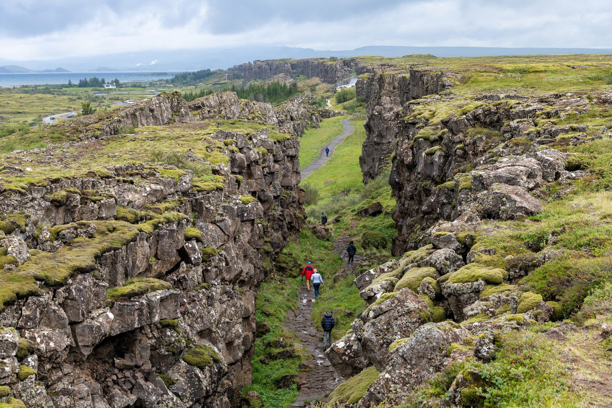
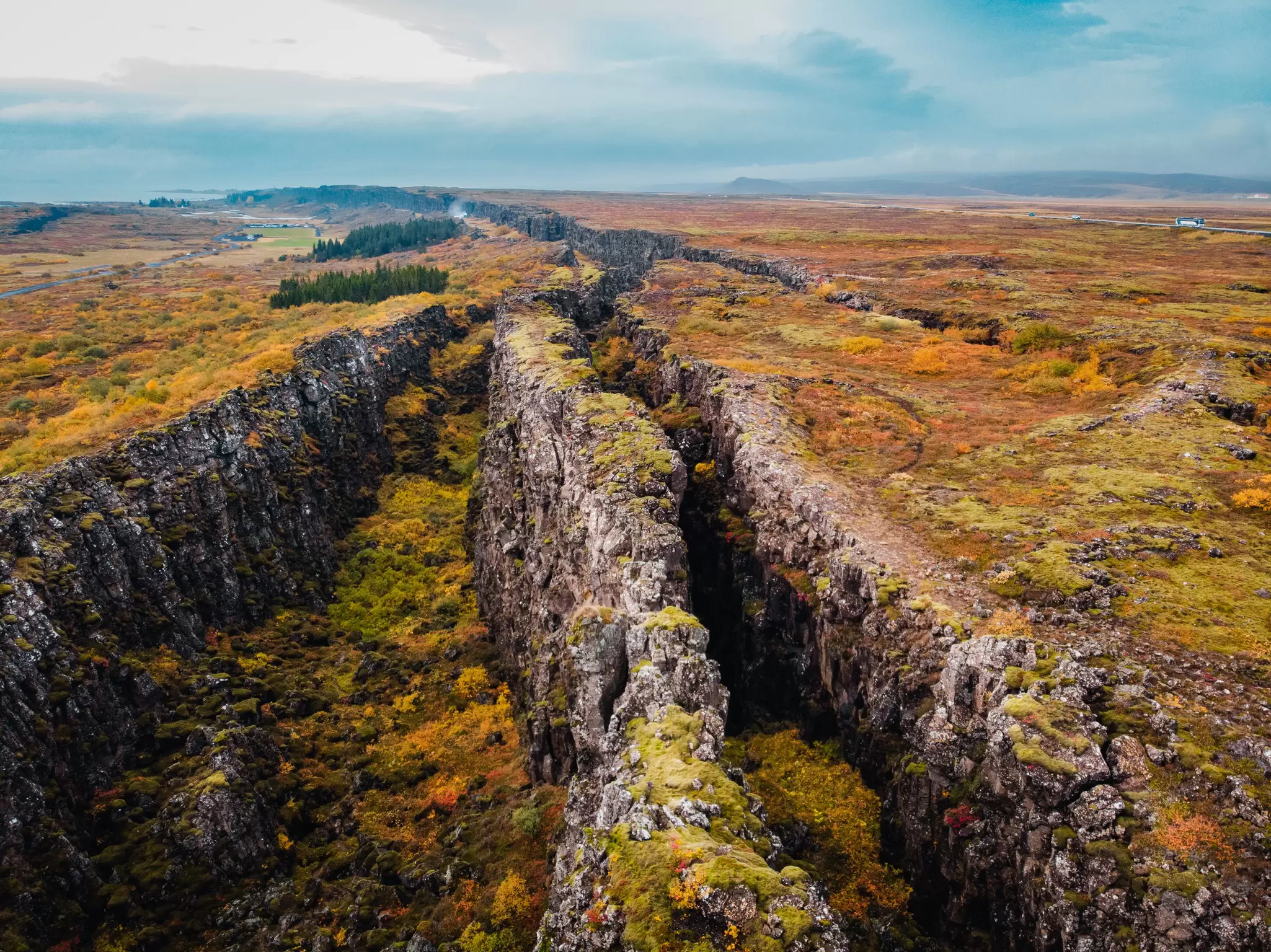
Þingvellir (thing-vet-lir) sits on the tectonic-plate boundary where North America and Europe are tearing away from each other at 1–18mm per year. The world’s oldest parliament, Alþingi (al-thingk-ee), was here. From 930 to 1798, meetings were held among this awe-inspiring geology, which created a natural amphitheater. The plain is scarred by dramatic fissures, ponds and rivers, including the great rift Almannagjá. A path descends into the fault between the clifftop Hakið Visitor Centre and the Alþingi Site. There's also a viewing platform, and trails are 1.5km to 10.5km long, so it's easy to find a hike to suit. South is Þingvallavatn, where you can descend into Silfra gorge between the tectonic plates.
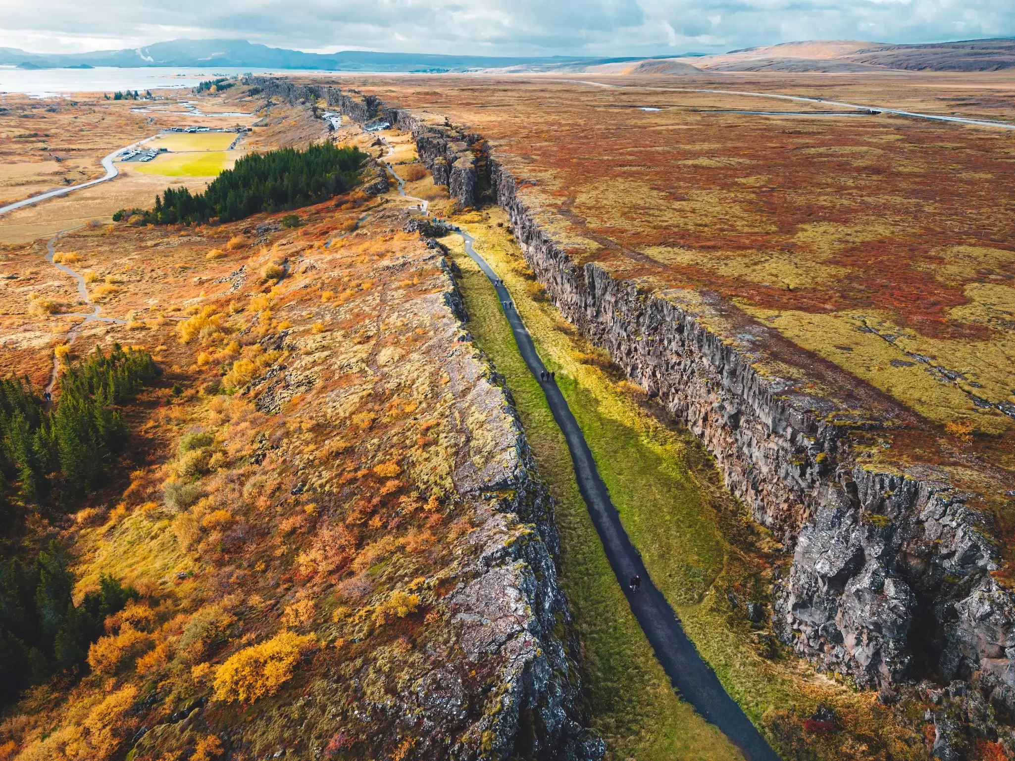
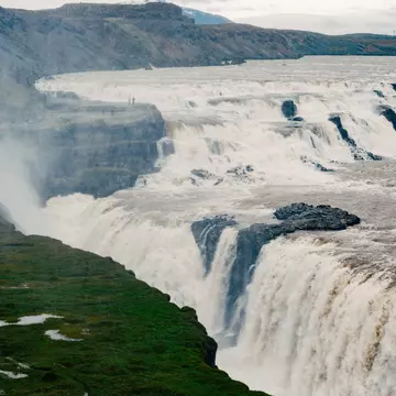
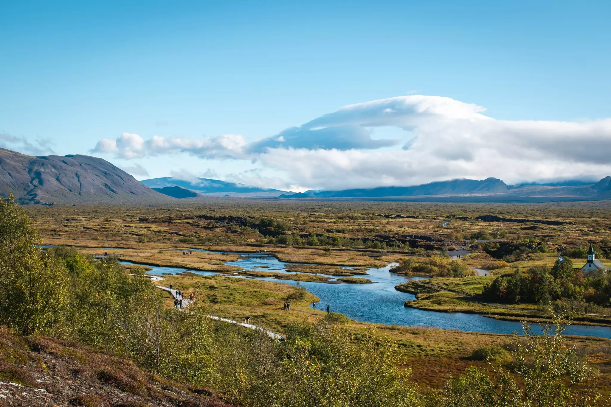
The river Öxará cuts the western plate, tumbling off its edge in a series of pretty cascades. The most impressive is Öxarárfoss , north of the Alþingi site. In the Middle Ages, people were put to death by drowning in Drekkingarhylur pool between the 20m cascade and Lögberg.
Compare Ancient Ruins to Historic Buildings
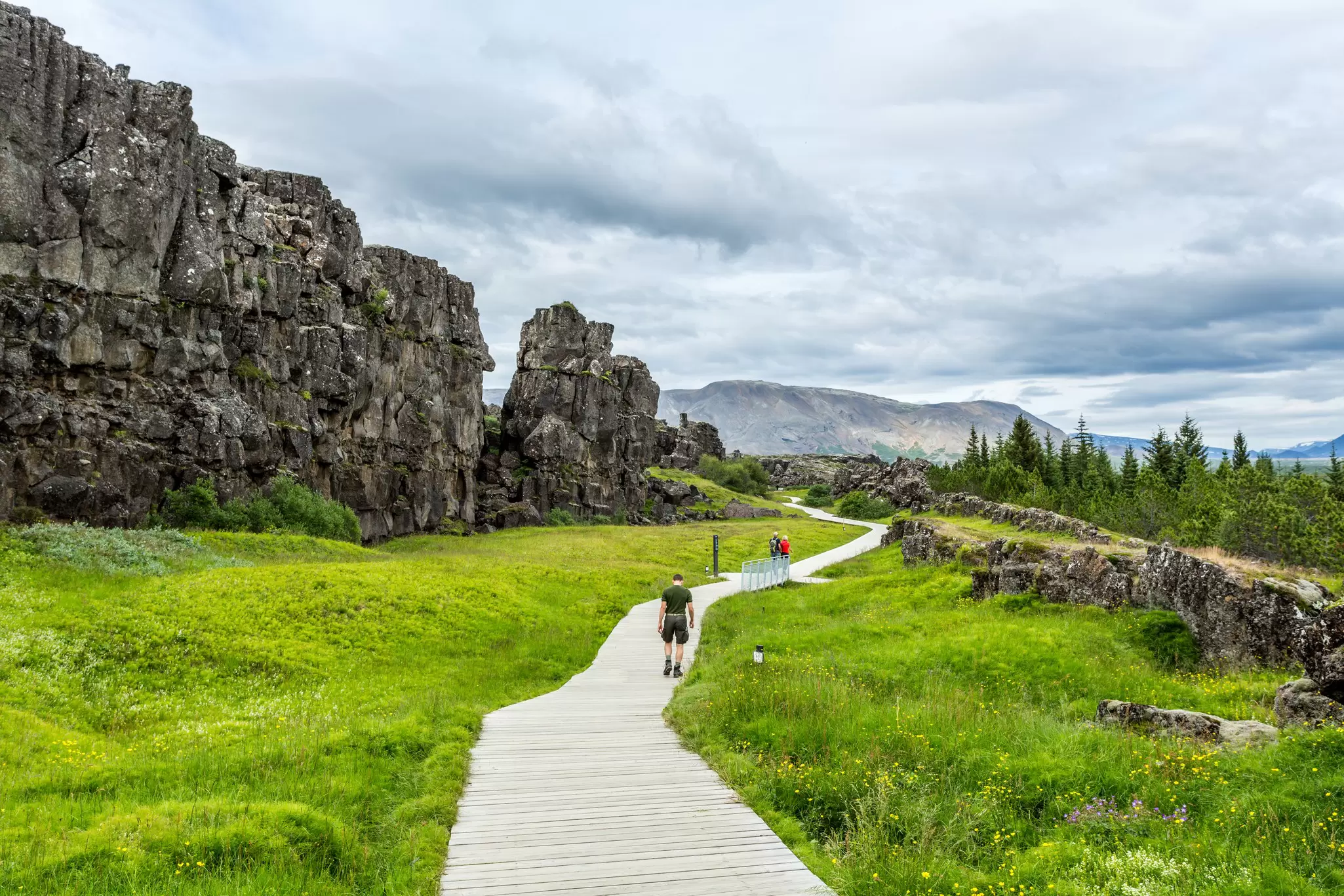
Near the dramatic Almannagjá fault and fronted by a boardwalk is the Lögberg (Law Rock), where the Alþingi convened annually, and the lögsögumaður (law speaker) recited existing laws. After Iceland’s conversion to Christianity the site shifted to the foot of the Almannagjá cliffs, marked by the Icelandic flag.
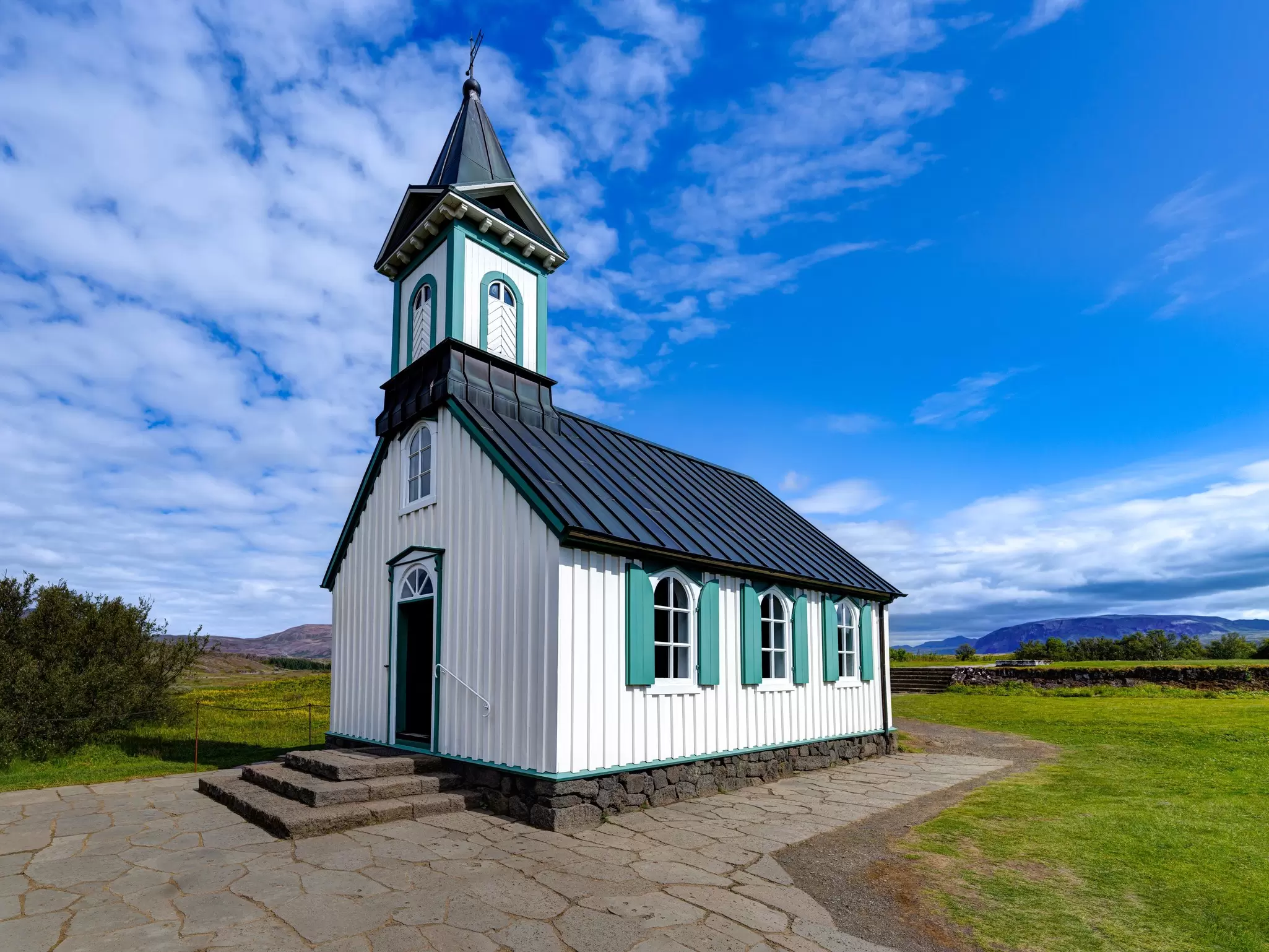
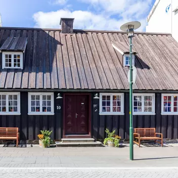
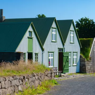
Straddling the Öxará river are ruins of temporary camps called búðir (booths). These stone foundations were covered during sessions and acted like stalls, selling food and beer. The largest, and one of the oldest, is Biskupabúð, north of the church. Þingvallabær , the rift farmhouse, was built for the 1000th anniversary of the Alþingi in 1930 by state architect Guðjón Samúelsson. It’s now the park warden’s office and prime minister’s summer house. Þingvallakirkja was one of Iceland’s first churches. Originally consecrated in the 11th century, the current building dates from 1859. There’s a small cemetery outside the church. You can also get to it by using Car Park 2 at the end of Rte 362, and follow the footpath from there.
Understand Þingvellir's History
Many of Iceland’s first settlers had run-ins with royalty back in mainland Scandinavia. These chancers and outlaws decided that they could live happily without kings in the new country, and instead created district þings (assemblies) where justice could be served by and among local goðar (chieftains).
Eventually, a nationwide þing became necessary. Bláskógur – now Þingvellir (Parliament Fields) – lay at a crossroads by a huge fish-filled lake. It had plenty of firewood and a setting that would make even the most tedious orator dramatic, so it fitted the bill perfectly. Every important decision affecting Iceland was argued out on this plain – new laws were passed, marriage contracts were made, and even the country’s religion was decided here. The annual parliament was also a great social occasion, thronging with traders and entertainers.
Over the following centuries, escalating violence between Iceland’s most powerful groups led to the breakdown of law and order. Governance was surrendered to the Norwegian crown and the Alþingi was stripped of its legislative powers in 1271. It functioned solely as a courtroom until 1798, before being dissolved entirely. When it regained its powers in 1843, members voted to move the meeting place to Reykjavík.
Find Fissures with Fables
There are other smaller fissures on the eastern edge of the site. During the 17th century, nine men accused of witchcraft were burned at the stake in Brennugjá (Burning Chasm). Nearby are the fissures of Flosagjá (named after an enslaved person who jumped his way to freedom) and Nikulásargjá (after a drunken sheriff discovered dead in the water). The southern end of Nikulásargjá is known as Peningagjá (Chasm of Coins) for the thousands of coins tossed into it by visitors (an act forbidden these days).
Enjoy Iceland's Largest Lake
Fish for brown trout and Arctic char on þingvallavatn, Iceland's largest lake, from late April to mid-September. Get a permit (2500kr) at the Leirar Service Centre and learn local regulations. The fishing card offers some access.
Snorkel or Dive Between Continents at Silfra
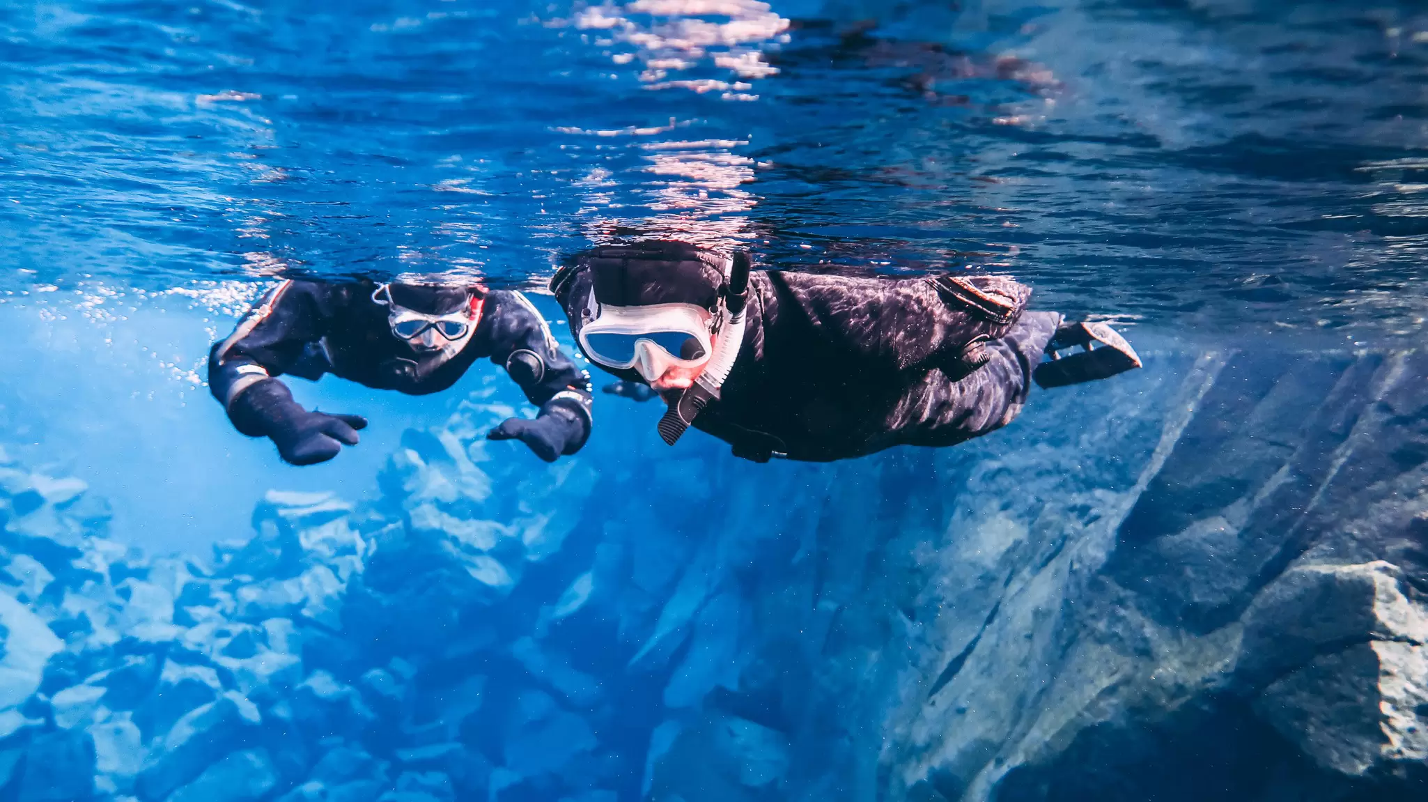
Diving at Silfra tops many bucket lists. This water-filled crack between the tectonic plates is the only place in the world to swim between continents. The crystal-clear water flows 60km from the Langjökull Glacier, winding through porous lava rock for decades before emerging here. Marine life is limited to bright green algae. This glacial water maintains a consistent temperature of 2°C to 3°C. You can only dive or snorkel on a guided tour. Reserve ahead with Dive.is (dive.is), Arctic Adventures (adventure.is) or Troll (troll.is).
You can park in lot No 5 for walking trails offering glimpses of the fissure and marvel at the rocks you see through the pure glacial water.
Tours & Exhibitions
Free one-hour guided tours in English run most days from June to August. These were at 10am and 2pm at the time of research, but check ahead online for the schedule and start point. No booking is necessary.
Year-round, the Hakið Visitor Centre also has an informative multi-media exhibition (adult/child 1200kr/free) on the site's geology and history.
Eating, Lodging & Camping
A year-round campsite at Nyrðri-Leirar is adjacent to the park’s service center north of the lake, which has a small cafe. Restrooms and laundry are available year-round. Showers close December to March. Campsites at Syðri-Leirar and Vatnskot are open from June to August. There’s a snack bar at Hakið Visitor Centre in the south. Silfra Restaurant has slow-food ingredients and a bar.