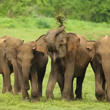
Sitting midway between Nuwara Eliya and Haputale, the 31.6-sq-km Horton Plains National Park is small but starkly beautiful, its high-altitude plateau covered in cloud forest and dotted with endemic Rhododendron arboreum trees. In 2010, Horton Plains was declared a UNESCO World Heritage site because of its biodiversity and importance as the natural habitat for Sri Lanka's endangered species, such as the extremely rare slender loris, along with the purple-faced langur, giant squirrel, crested porcupine, pygmy mouse-deer, sambar deer and three out of four of Sri Lanka's wild cats, including the ever elusive Sri Lankan leopard. Out of the above, you're most likely to spot sambar deer, though some lucky visitors have run into leopards near the access road into the park. If you're a birdwatcher, bring your binoculars: Horton Plains is one of Sri Lanka's best birding destinations, featuring highland endemics that are not found elsewhere on the island, such as the Sri Lanka bush warbler, dull-blue flycatcher and Sri Lanka white-eye.
Overlooked by Sri Lanka's second- and third-highest mountains, Mt Kirigalpotta (2395m) and Mt Thotupolakanda (2357m), the park is easily accessible on a tour either from Nuwara Eliya or Haputale; it's an hour's drive to the park from either location. January to March and August and September are the driest months with the best weather. Aim to reach the park entrance by 7am as mist often rolls in around 10am, obscuring the legendary views from the plateau.
Tours from Nuwara Eliya or Haputale cost around Rs 7000 per person. After entering either via the Pattipola entrance (from Nuwara Eliya) or the Ohiya entrance (from Haputale), you'll also need to pay the entry fee (adult/child US25/15) and vehicle fee (Rs 150). Park by the Farr Inn.
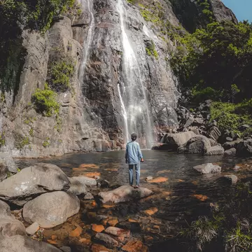
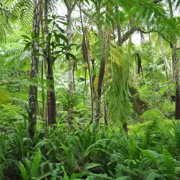
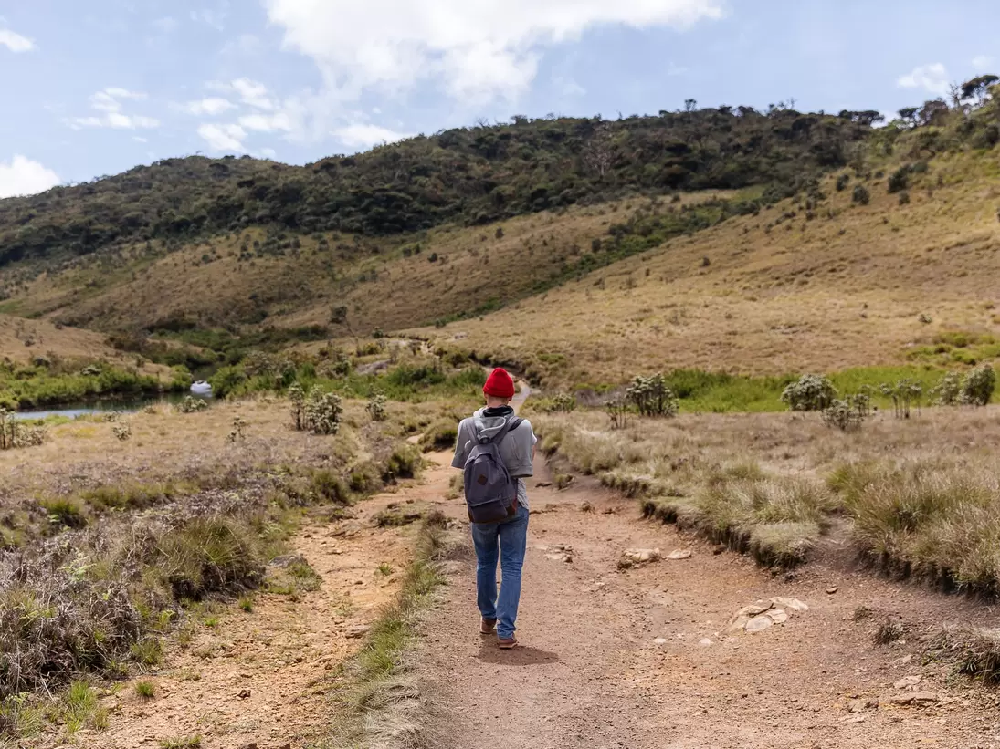
The park may only be explored on foot. The main 9.5km loop trail (Horton Plains Loop), easily walkable in three hours, begins by the Farr Inn. Take layers, since it can be cold and wet on the plains. If you're going clockwise, the first 500m takes you through patana grasslands before plunging into a 2km stretch of cloud forest – distinctive umbrella-shaped keena trees draped in old man's beard lichen. Another 1.5km or so gets you to the first viewpoint – Mini World's End, with glimpses of the lowlands below. Proceed through another 1.5km of cloud forest and thickets of dwarf bamboo to the show-stopping World's End (2140m) – the viewpoint where cliffs plunge down 825m, granting you incredible views of much of Sri Lanka's south, all the way to the coast. Some 2km further along, the trail shadows the Belihul Oya river, and you pass the 20m-tall Bakers Falls, reachable via a steep and slippery detour of 50m. A final stretch through more patana grasslands brings you back to the Farr Inn. You're more likely to spot wildlife in the company of a guide.