
Advertisement
Norway

Geiranger fjord, Norway
Overview
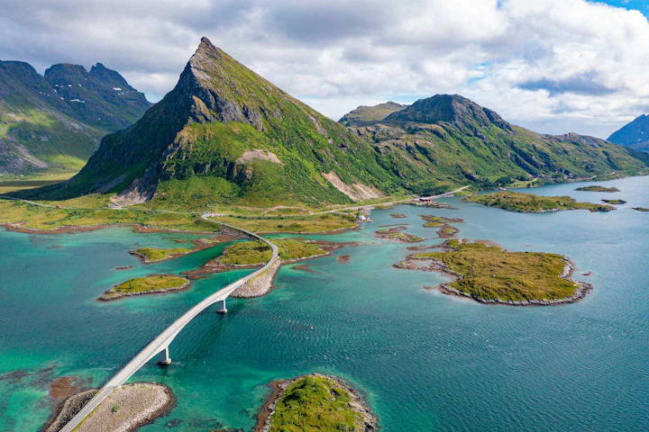
The essence of Norway's appeal is remarkably simple: this is one of the most beautiful countries on earth.
Take your Norway trip with Lonely Planet Journeys
Pick one of our ready-to-book trips or fully customize your own with help from our local experts.
bookable trip
Winter in the Arctic North: 12 Days by Water and Land
12 days / 11 nights
highlights
- 1Witnessing the colorful choreography of the Arctic's Northern Lights
- 2Experiencing the fairytale wonders of the enchanting Lofoten Islands
- 3Cruising with Hurtigruten on a seven-day tour of Norway's winter highlights
from $7,492
per person


Explore more trips
Explore more trips
 Norway
15 days / 14 nights
Cruising South Through Norway's North: Summer in 15 Days
See Trip DetailsFROM $7,386
per person
 Norway
12 days / 11 nights
Cruising South Through Norway’s North: Winter in 12 Days
See Trip DetailsFROM $7,128
per person
 Norway
15 days / 14 nights
Arctic Summer: Cruising South on Hurtigruten's Svalbard Line
See Trip DetailsFROM $14,157
per person
Norway
15 days / 14 nights
Cruising South Through Norway's North: Summer in 15 Days
FROM $7,386
per person
Norway
12 days / 11 nights
Cruising South Through Norway’s North: Winter in 12 Days
FROM $7,128
per person
Norway
15 days / 14 nights
Arctic Summer: Cruising South on Hurtigruten's Svalbard Line
FROM $14,157
per person
Must-see attractions
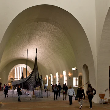 Attraction in OsloMuseum of the Viking Age
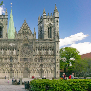 Attraction in TrondheimNidaros Domkirke
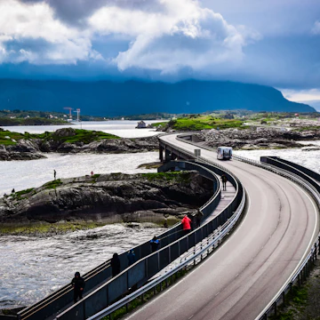 Attraction in The Northern FjordsAtlanterhavsveien
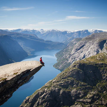 Attraction in Bergen & the Southwestern FjordsTrolltunga
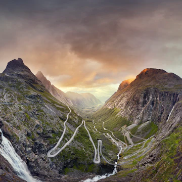 Attraction in The Northern FjordsTrollstigen
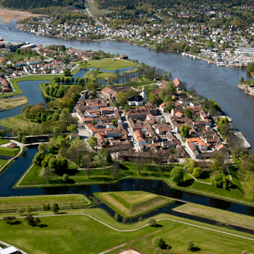
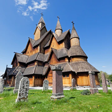 Attraction in Southern NorwayHeddal Stave Church
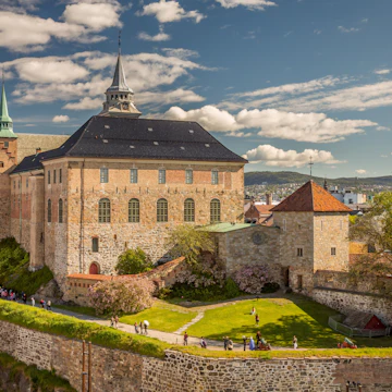 Attraction in OsloAkershus Festning
Advertisement
Planning Tools
Expert guidance to help you plan your trip
Best Things to Do
From cruising the fjords and wild camping to cities full of culture and incredible food, here are 13 top things to do on a visit to Norway.
Read full article
Best Places to Visit
Norway’s top places to visit include magnificent fjords, Arctic islands, culture-packed cities and more.
Read full article
Best Time to Visit
Norway is known for its spectacular landscapes and, as one of the most beautiful countries on the planet, there's no such thing as a bad time to visit.
Read full article
Things to Know
There's much to love about Norway: extensive public transportation, clean cities, stunning countryside and excellent food. Here, what to know before you go.
Read full article
Transportation
Norway has efficient and comfortable public transport but its challenging landscape can make for tricky journeys. Here's how to get around Norway.
Read full article
Visa Requirements
Deciding to go to Norway is easy, but figuring out the entry regulations can be tricky. We've gathered all the info to help you on your way.
Read full article
Money and Costs
How to stretch your budget without missing out on the fantastic experiences that Norway has to offer.
Read full article
Traveling with Kids
Norwegians go the extra mile to welcome travelers with children in tow. And the country’s natural attractions are delightful no matter your age.
Read full article
Best Road Trips
The best way to take in Norway’s epic landscapes? Behind the wheel of a car. Here are five top road trips for experiencing it all.
Read full article
Advertisement
Get a book. Get inspired. Get exploring.
in partnership with getyourguide
Book popular activities in Norway
Norway and beyond
 destinationOslo
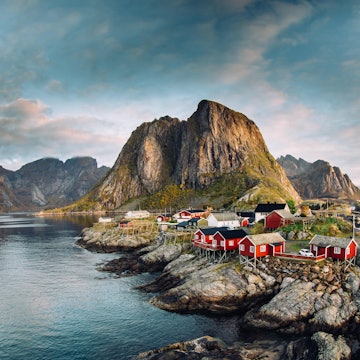 destinationNordland
 destinationThe Western Fjords
 destinationBergen & the Southwestern Fjords
 destinationSouthern Norway
 destinationCentral Norway
 destinationBergen
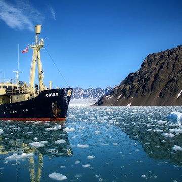 destinationSvalbard
Advertisement