

Advertisement

Top places to visit in Papua New Guinea
Discover the best attractions in Papua New Guinea from must-see sights to unexpected hidden gems.
-
 Attraction in Papua New GuineaTchibo Rock
 - Attraction in Papua New GuineaOhu Butterfly Habitat
-
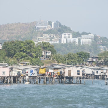
- Attraction in Papua New GuineaSanderson Harbour
- Attraction in Port MoresbyVarirata National Park
- Attraction in Papua New GuineaSmoked Bodies
- Attraction in Papua New GuineaFlying Fox Roosts
- Attraction in Port MoresbyBomana War Cemetery
Advertisement
Advertisement
Papua New Guinea and beyond
-
 destinationPort Moresby
 -
 destinationNew Britain
Advertisement