Jul 29, 20268 min read
All you need to know about the World Nomad Games in KyrgyzstanJul 22, 2020
4 MIN READ

Writer
Driving from Alaska to the tip of Argentina is the ultimate road trip. Thiagofav / Getty Images

Writer
Lonely Planet may earn a commission from affiliate links on our site. All recommendations and reviews reflect our own independent opinions.
Ask your friends what their idea of a cool road trip is and you’ll get some great suggestions. South of France in summer in a convertible. Safari in Africa in a jeep. Route 66 from Chicago to Los Angeles.
But you can laugh in the face of their puny routes by answering with the Mother of all Road Trips – the Pan-American Highway (PAH). Traveling from the top of Alaska to the tip of Tierra del Fuego, this is the tire-testing, jawdropping, gas-guzzling journey that will impress all your friends.
In 1889 at the First International Conference of American States, the USA proposed closer links to its neighbors via a continent-spanning railroad. The idea never amounted to much but years later, at the Fifth International Conference held in Chile in 1923, a Pan-American Highway was proposed. This time the idea received a more enthusiastic response from the participating nations, though it wasn’t until the sixth conference, in Cuba in 1928, that the proposal was approved.
The suggestion was to have the highway start in Mexico and run south to Buenos Aires, and it was the financial support from the United States that was key to its development, even though the US didn’t have an official part of the PAH running through it.
Creating the PAH was a slow process, with war, money and lack of governmental cooperation providing constant issues, but it’s now possible to travel the length of the Americas (more or less) by car.
First off, there is no one route. The original and only official section of highway runs from Laredo in northern Mexico to the Argentine capital, Buenos Aires, but there are many branches that allow you to cover the full Arctic to almost Antarctic distance, adding up to a whopping 30, 000 miles/48, 000km in total.
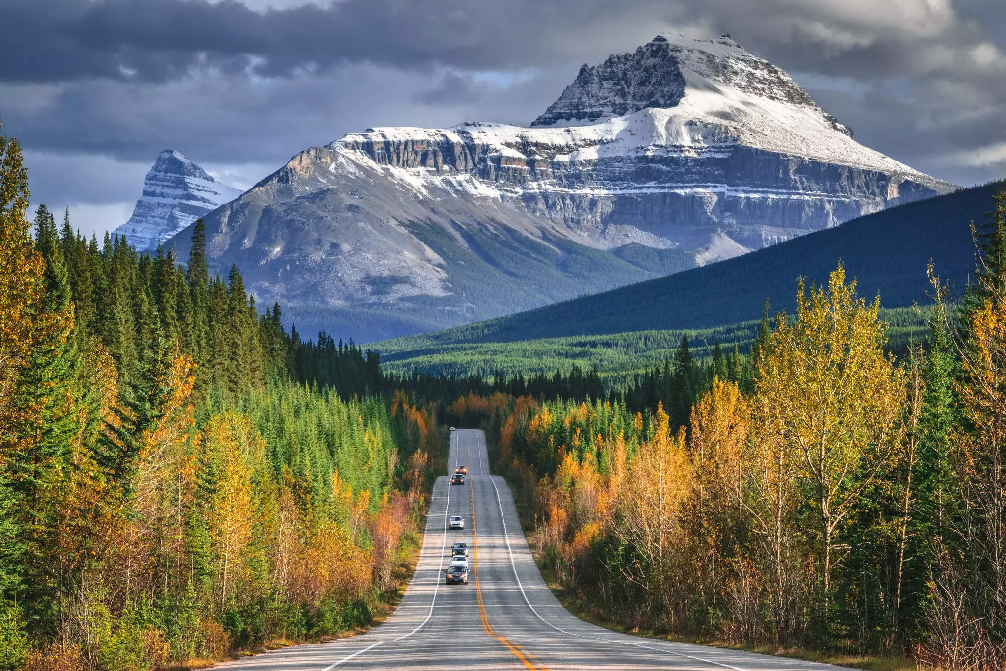
Prudhoe Bay in Alaska is the starting point if you’re heading north–south. From here, the PAH continues into Canada where a few different routes head further south into the United States.
It’s here that things get a little confusing as the US federal government has declared ALL interstate roads to be part of the Pan-American Highway. On our map, we’ve chosen the best north–south freeways that link up with the main and official PAH in Mexico, passing through spectacular landscapes, cute small towns and famous cities like Los Angeles, Las Vegas and San Diego on the way.
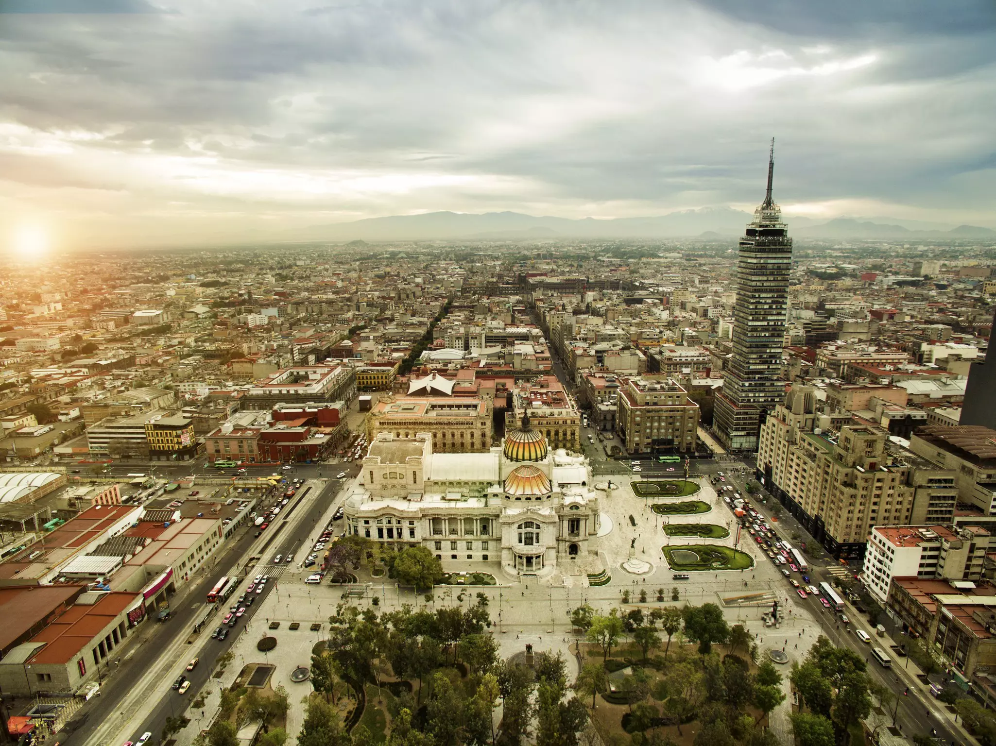
The original Pan-American Highway begins in Laredo, Mexico, just across the border from San Antonio in Texas, and continues to Mexico City. A separate route runs down Mexico’s western coastline before joining up with the original road in Mexico City.
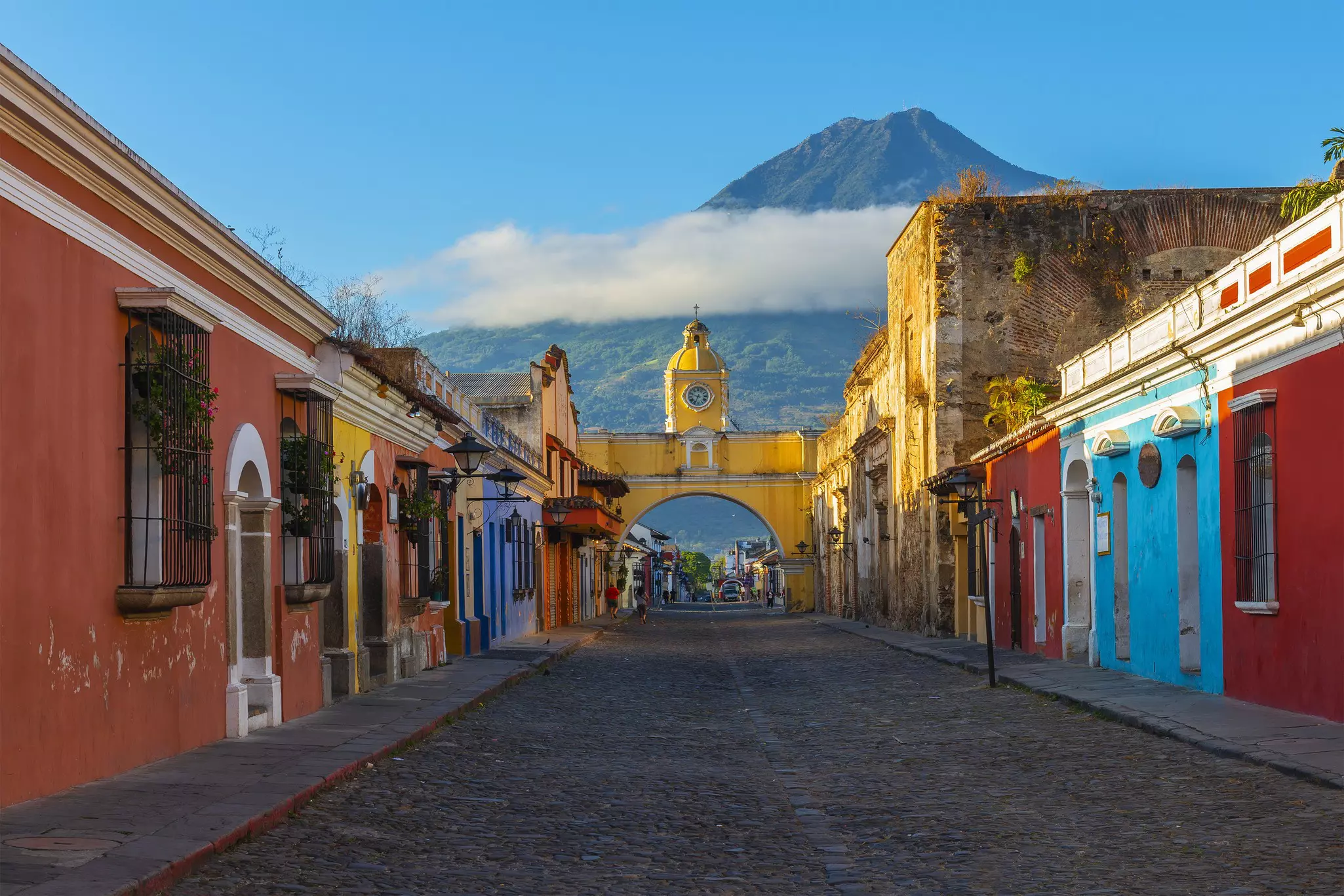
From Mexico the PAH passes through every Central American capital, except Honduras’ Tegucigalpa (though it passes just 60 miles/100km south of it), before it hits the only section that can’t be traveled by car – the Darien Gap, an area of mountains and jungle about 50 miles/80km long, lying between Panama and Colombia.
Environmental concerns and the opposition of local people have consistently put a stop to any road building in the area, meaning that this stretch can only be covered by plane, with your vehicle traveling separately in a shipping container. Crossing the region by bike or on foot is not advisable because of the difficult terrain and possibility of dangerous smuggler gangs.
The PAH picks up again in Turbo, Colombia before continuing south, following the western side of South America through Ecuador (including the capital Quito) and Peru (including the capital Lima) and on into Chile. Here a branch makes its way to Quellón while the main route heads to Argentina and Buenos Aires.
Another branch then diverges to Uruguay and north into Brazil, passing through São Paolo on the way to Rio, while those determined to get to the southernmost point of the PAH head in the opposite direction to Patagonia’s mind-blowing natural beauty and the road’s final destination, Ushuaia on the main island of Tierra del Fuego, at the bottom of the planet.
You might also like:
9 expert tips for a safe road trip during the pandemic Canada's 10 best road trips Is a camper vacation right for you?
Article first published in February 2015, and last updated in July 2020.
Explore related stories