
Advertisement
Quintana Roo
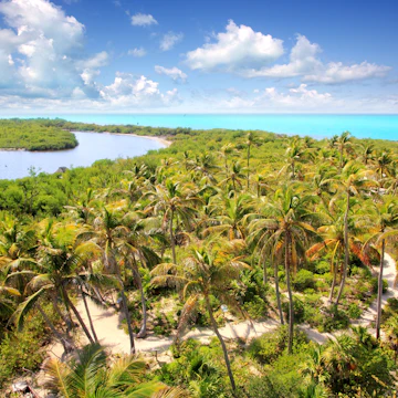
Wildlife-rich jungles and coral reefs. Mysterious underwater cave systems. Sugar-sand Caribbean beaches. If all that sounds glorious, it most certainly is, and yet Quintana Roo finds itself caught between preserving its precious natural resources and managing a development boom that doesn't seem to be slowing down. It makes for a complicated balancing act fraught with environmental and cultural consequences, as tourism remains the driving force of the economy. With more than 400km of white-sand beaches hugging the turquoise waters of the Caribbean, it's easy to understand why so many tourists flock to the Yucatán each year. Quintana Roo also boasts some of the world's best snorkeling and diving, intriguing Maya culture and laid-back islands where people get around on golf carts. From mega-resort Cancún to 'eco-chic' Riviera Maya and all the way down to the less-visited Southern Caribbean Coast, this little corner of Mexico was made for vacationing.

Fernando Farfán for Lonely Planet
Latest Stories
- Rhianydd Hylton|Oct 31, 2025Low season in Quintana Roo, Mexico
- Andrea Smith|Jun 17, 2020A new hideaway jungle villa has opened in Mexico biosphere reserve
Book


Trusted Partner
Stay connected in Quintana Roo
Holafly eSIM provides unlimited mobile data with no hidden fees, giving you peace of mind wherever you travel. Stay connected even after your plan ends with Always On. Use code LONELYPLANET for an exclusive discount.
Take your Mexico trip with Lonely Planet Journeys
Time to book that trip to Mexico
Lonely Planet Journeys takes you there with fully customizable trips to top destinations – all crafted by our local experts.


Top places to visit in Quintana Roo
Discover the best attractions in Quintana Roo from must-see sights to unexpected hidden gems.
-
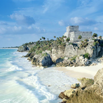 Attraction in TulumTulum Ruins
 -
 Attraction in CobáGrupo Nohoch Mul
 -
 Attraction in CobáCobá Ruins
 -
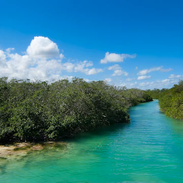 Attraction in TulumReserva de la Biosfera Sian Ka'an
 -
 Attraction in CancúnParque Nacional Isla Contoy
 -
- Attraction in Riviera MayaCenote Azul
-
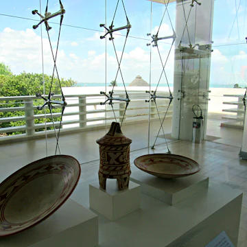 Attraction in CancúnMuseo Maya de Cancún

Advertisement
Advertisement
Get a book. Get inspired. Get exploring.


in partnership with getyourguide
Book popular activities in Quintana Roo
Quintana Roo and beyond
-
 destinationCancún
 -
 destinationRiviera Maya
 -
 destinationCosta Maya & Southern Caribbean Coast
 -
 destinationTulum
 -
 destinationPlaya del Carmen
 -
 destinationIsla Mujeres
 -
 destinationIsla Cozumel
 -
 destinationIsla Holbox
Advertisement