Jul 27, 202611 min read
The 19 best things to do in GermanyMay 8, 2024
5 MIN READ
Writer
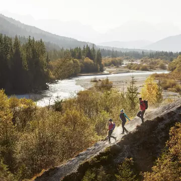
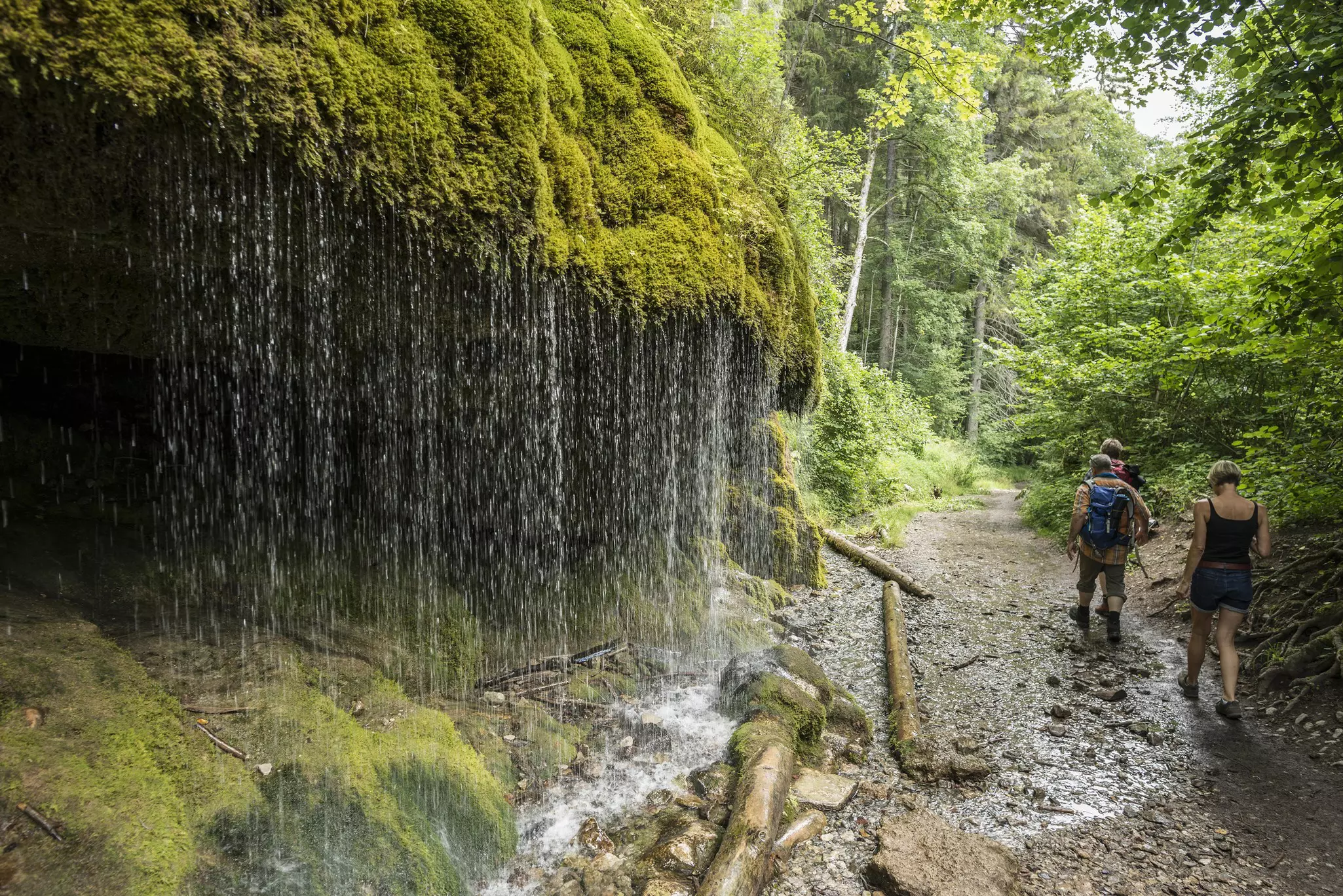
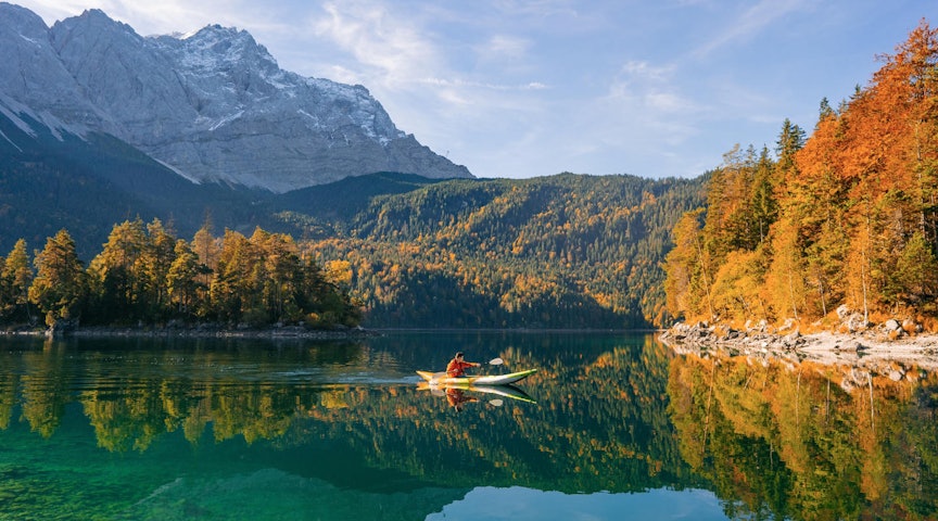
Escape the urban stress and mess with a bracing hike in Bavaria © Westend61 / Getty Images

Writer
Lonely Planet may earn a commission from affiliate links on our site. All recommendations and reviews reflect our own independent opinions.
The hills and valleys of Germany have long been explored on foot by locals and travelers in search of glorious natural landscapes and bracing fresh air.
Pack your bags for a trip to this beautiful country and you’ll quickly see why. From the whispering woodland in the fabled Black Forest to the wind-whipped loveliness of the Baltic shore, Germany has some of the most varied and appealing hiking to be found anywhere in Europe.
It helps that the infrastructure is outstanding. The German Hiking Association (Deutscher Wanderverband, or DWV, a collective of over 70 mountaineering and hiking associations) takes great care and pride in maintaining their 150 long-distance hiking trails, and countless shorter routes. Well maintained and signposted, these routes combine to create a network more than 200,000km (124,275 miles) in length.
It’s nearly impossible to isolate the rarest gems amongst these riches, but we’ve chosen six of our favorites. The longer, multi-day hikes are all easily broken up into smaller, more manageable stages.
Best for gorge rambling
13km (8 miles), 3–4 hours, easy
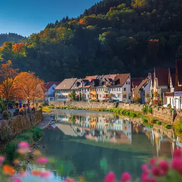
The dynamic Wutach river in Baden-Württemberg is responsible for this delightful gorge walk through the High Black Forest. Sheer rock faces of up to 170m (558ft) create a microclimate harboring rare ferns, orchids, lizards and butterflies.
Rather than attempting to traverse the entire, challenging 119km (74 miles) of the gorge, take it easy on this shorter section from Schattenmühle, an old mill turned rustic hotel, to Wutachmühle, a log cabin serving refreshments and hot meals. Schattenmühle is a 30-minute walk south of Göschweiler, a southern district of Löffingen, near the Swiss border.
Best historic German hike
169km (105 miles), 7–10 days, moderate
This ancient ridgetop ramble through the Thuringian Forest and the valley of the Saale river is Germany’s oldest and most popular long-distance trail. Named a "cultural monument" in 1999, it’s been followed since at least the 13th century.
The Rennsteig runs from Hörschel near Eisenach to Blankenstein on the Saale, is generally attempted across seven or more days, and is suitable for those of at least moderate fitness. Marked by distinctive "R" signs, it’s at its best in the shoulder seasons of April/May and September/October, when mild weather and thinner crowds generally coincide. It’s customary for hikers to collect a pebble from the Werra River at the beginning of the trail and throw it into the Saale at the other end.
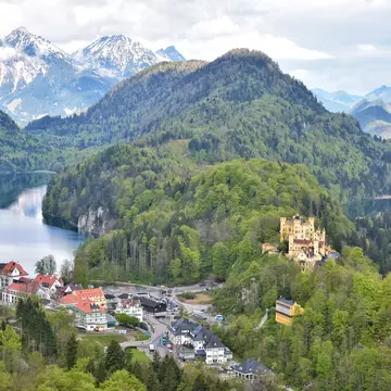
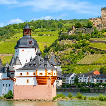
Best for German castles
176km (109 miles), 9–11 days, moderate to hard
There are other Burgenwege (Castle Trails) in Germany, but this 176km-trail in the north west offers perhaps the best combination of isolated beauty and sights of historical interest. Commencing near Marktredwitz, it falls mostly within Bavaria’s Northern Upper Palatinate Forest Nature Park, with an abundance of castles to see.
Some of the more notable, picturesque piles on the trail include the Burgruine Weißenstein, a ruin clinging to a 758m-high (2487ft) rock; Falkenberg Castle, originally built in the 9th century CE; and the 13th-century Trausnitz Castle, squatting above the town of Landshut on the Isar river.
Best for flora and fauna
237km (147 miles), 13–16 days, moderate to hard
The low, forested mountains of the Bavarian Jura are the serene setting for the Jurasteig (Jura Hiking Trail). Broken into 13 stages of varying lengths and difficulty, the trail meanders through a karstic (limestone) landscape cloaked in meadows, pine forests, juniper scrub and beech woods. There’s plenty of variety, with 18 loop trails branching off the main route, allowing for day trips to the castles and monasteries fringing the Bavarian Jura itself.
But it’s the flora and fauna of the Bavarian Jura shelters that are its greatest treasure. It’s possible to spot falcons, kingfishers, orchids and Carthusian pink carnations while on the Jurasteig. Kelheim, where the circular trail "begins, " is home to world's oldest monastic brewery, Kloster Weltenburg.
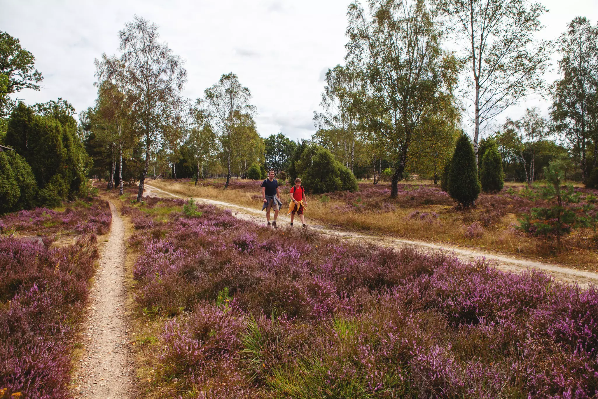
Best for flowering heather
223km (139 miles), 13–15 days, moderate
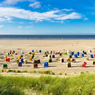
One of Germany’s most beautiful hikes, the multi-day Heidschnucken trail wends its way through the Lüneburg Heath Nature Reserve between Fischbek in Hamburg and Celle. The Lüneburger Heide is the largest interconnected area of heath in Europe, roamed by moorland sheep that keep weeds from choking the heather plants and studded with spruce, birch and juniper bushes.
The Trail itself is divided into 13 stages, taking in delightful heath valleys like Totengrund and Radenbachtal, rivers like the Örtze, and towns like Niederhaverbeck, Oberhaverbeck, Döhle and Undeloh. The best time to walk the Heidschnucken is August and September, when the heather is in bloom and the warmth of summer still lingers.
Best for German Cold War history
1393km (866 miles), 8–10 weeks, hard
The German Green Belt (Grünes Band Deutschland) is an extraordinary linear nature reserve and walking trail that follows the 1393km (866 miles) "Inner Border" that divided East and West Germany throughout the Cold War. As the border zone was off limits, nature flourished undisturbed along its length, creating living examples of every one of Germany’s 146 different recognized habitat types. These habitats shelter rare and endangered fauna like otters, wildcats and short-tailed blue butterflies.
When the Berlin Wall was brought down in 1989, the Green Belt was preserved. Running from Lübeck on the Baltic Sea to the point where Saxony, Bavaria and the Czech Republic meet, the Green Belt is studded with watchtowers and fortifications from that dark time in its history. It’s obviously a big undertaking to walk the entire length; smaller walks like the Harz Border Trail, running 90km (56 miles) south from Rhoden and ending at the Borderland Museum in Tettenborn, are more to most people’s taste and timescale.
Take a break from hiking and explore Germany on a road trip
Save your euros with our guide to visiting on a budget
Don't know where to start? These are the 8 best places to visit in 2024
Take your Germany trip with Lonely Planet Journeys
Time to book that trip to Germany
Lonely Planet Journeys takes you there with fully customizable trips to top destinations – all crafted by our local experts.

Explore related stories