
Advertisement
Southeast Iceland
The 200km stretch of Ring Road from Kirkjubæjarklaustur to Höfn is truly mind-blowing, transporting you across vast deltas of grey glacial sand, past lost-looking farms, around the toes of craggy mountains, and by glacier tongues and ice-filled lagoons. The only thing you won’t pass is a town.
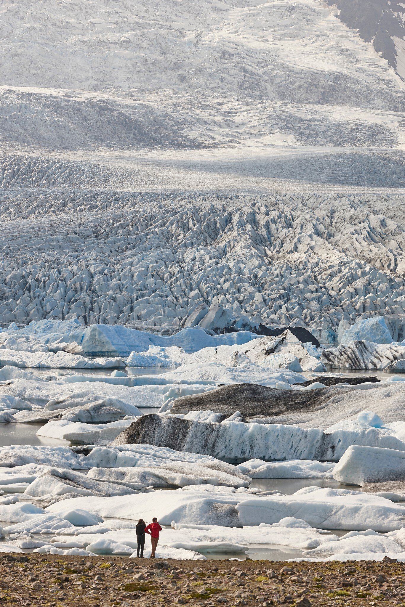
ABB Photo/Shutterstock

Trusted Partner
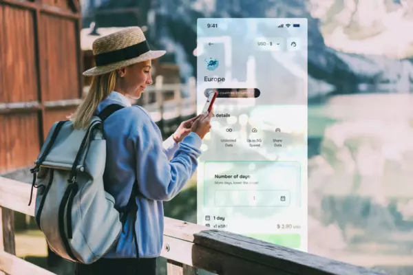
Stay connected in Southeast Iceland
Holafly eSIM provides unlimited mobile data with no hidden fees, giving you peace of mind wherever you travel. Stay connected even after your plan ends with Always On. Use code LONELYPLANET for an exclusive discount.
Lonely Planet may earn a commission from affiliate links on our site. All recommendations and reviews reflect our own independent opinions.
Take your Iceland trip with Lonely Planet Journeys
Time to book that trip to Iceland
Lonely Planet Journeys takes you there with fully customizable trips to top destinations – all crafted by our local experts.

Top places to visit in Southeast Iceland
Discover the best attractions in Southeast Iceland from must-see sights to unexpected hidden gems.
-
 Attraction in Southeast IcelandSvínafellsjökull
 - Attraction in Southeast IcelandFjallsárlón
- Attraction in Southeast IcelandDiamond Beach
- Attraction in Southeast IcelandFjaðrárgljúfur
- Attraction in Southeast IcelandKirkjugólf
- Attraction in Southeast IcelandSystrafoss & Systravatn
-
- Attraction in Southeast IcelandLakagígar Crater Row
Advertisement
Advertisement
Get a book. Get inspired. Get exploring.

in partnership with getyourguide
Book popular activities in Southeast Iceland
Lonely Planet may earn a commission from affiliate links on our site. All recommendations and reviews reflect our own independent opinions.
Advertisement