Sep 15, 202614 min read
How to Drive All of the Blue Ridge Parkway in 5 DaysSep 15, 2026
14 MIN READ

Writer
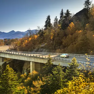
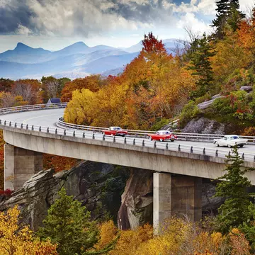
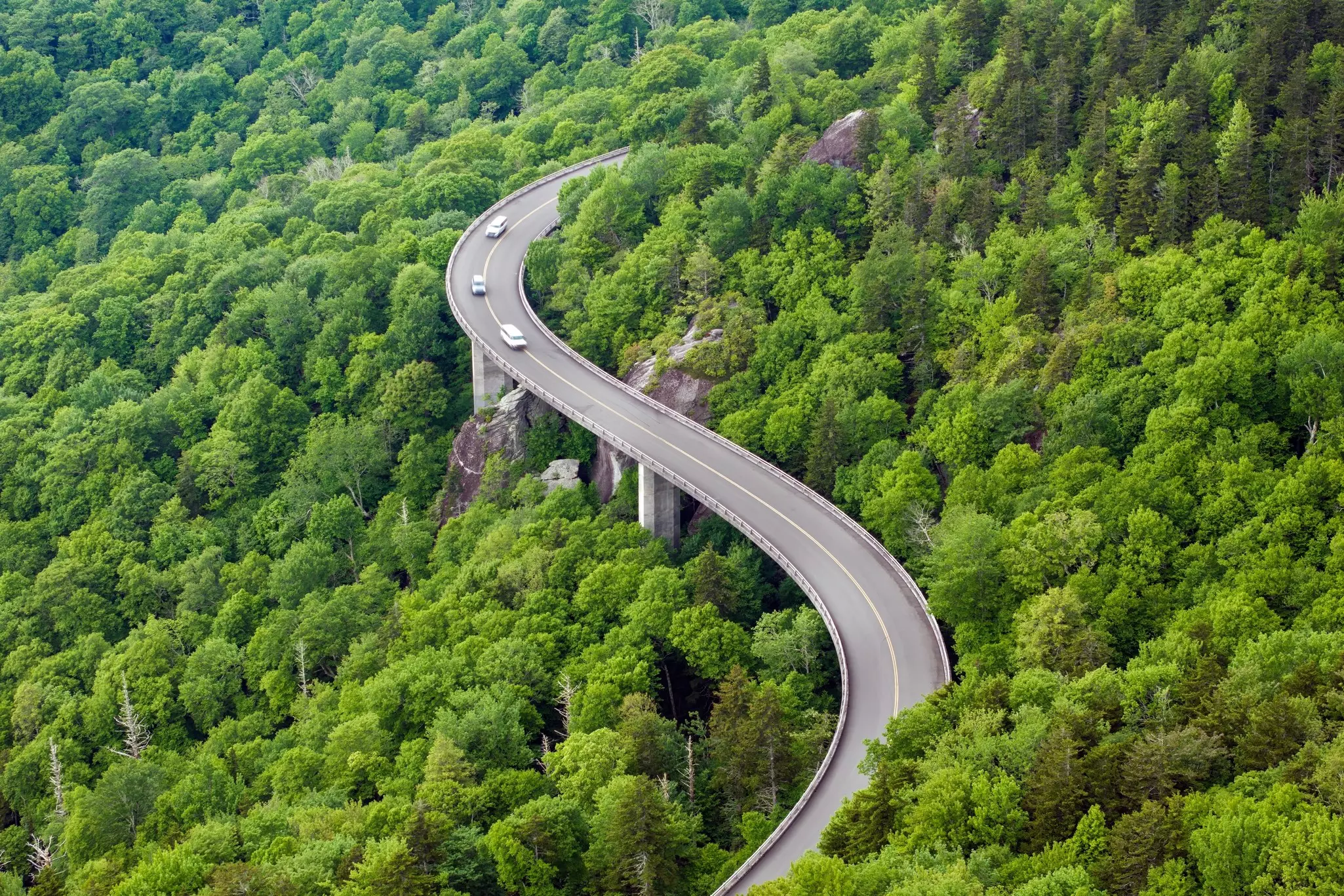
The Linn Cove Viaduct, Blue Ridge Parkway, North Carolina. Devon Wolfhart/Getty Images
Writer
Highlights
Writer Erica Jackson Curran maps a five-day Blue Ridge Parkway road trip.
Hike Humpback Rocks on day one; day two rolls into Roanoke and past Mabry Mill's gristmill.
Day three enters North Carolina; spot wildlife in Doughton Park and end in storied Blowing Rock.
Days four and five pass the iconic Linn Cove Viaduct and Asheville before ending at Cherokee.
Lonely Planet may earn a commission from affiliate links on our site. All recommendations and reviews reflect our own independent opinions.
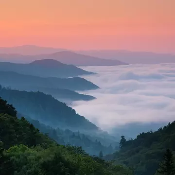
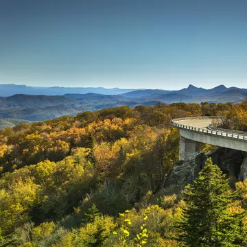
Tracing a ridge in the Appalachian Mountains between Virginia and North Carolina, a gently winding road seems frozen in time. Hardly any restaurants, stores, billboards or even homes lie along this route. The few hints of civilization include rustic stone mile markers and small signs noting upcoming trails and overlooks.
Welcome to the Blue Ridge Parkway, which was created expressly to take motorists through some of the East Coast’s (and the entire USA’s) most stunning mountain landscapes. At 469 miles from end to end, the curvy road offers a delightfully meandering escape from the scale and speed of typical American highways.
I grew in the hills of Amherst County, Virginia – putting the parkway practically at my doorstep. The road is where my family went for leisurely Sunday drives, picnics by mountain streams in the summer and leaf-peeping in the fall. My childhood memories include hiking beside waterfalls, spotting bears in the forest and scrambling to the summit of some of the highest peaks in the Appalachians. I’ve traveled a lot since those early days – and having seen much of the world, I still consider the landscapes of the Blue Ridge Parkway some of the most beautiful in the world.
It is technically possible to drive the entire parkway in a day – though it would be a long and rushed one indeed. You could also spend weeks making frequent stops to explore the forests that sprawl on either side of the road. How to decide how long to take to tackle the parkway? Since there are plenty of entry and exit points, your drive can be as long or as short as you want. While our itinerary below proposes covering the parkway’s entirety in in 5 days, you can just as easily choose your favorite stretch and focus your attention there.
Trip length: The Blue Ridge Parkway stretches 469 miles through the Appalachian Mountains, between Shenandoah National Park and Great Smoky Mountains National Park. In good conditions, you could complete the route without stopping in about 10 hours. But who would want to do that? Taking your time is the point of this trip, so we’d recommend at least a long weekend to explore. Be sure to check the official website for updates on any potential closures.
When to go: The views of the Appalachian Mountains from the parkway are spectacular year-round – but they’re most stunning in the fall, when the foliage is at its peak. This is also the busiest time on the parkway, so be prepared for more traffic, especially on the weekends. If you go in the winter, check ahead for road closures, as higher elevations can get more snow and ice than lower areas.
Where to begin and where to end: The north end of the parkway is in Rockfish Gap, near Waynesboro, Virginia; its south end is in Cherokee, North Carolina. The parkway has numerous access points along the route, many of them convenient to major highways.
Things to know: The speed limit on the parkway never exceeds 45 mph, sometimes dropping lower to account for sharp turns and steep hills. Plan to drive about 30 miles in an hour, not including any stops. If you’re not accustomed to mountain driving, be prepared for steep grades, narrow shoulders and limited sight distances; keep an eye out for wildlife, cyclists and rockslides. Most importantly, keep your eyes on the road if you’re driving, and wait for the overlooks to enjoy the views.
What to pack: If you plan to take advantage of the many hiking trails along the parkway, wear proper footwear and attire. Temperatures in the mountains are often much cooler than lower elevations, so pack layers. Cell service can be patchy in the more remote stretches, so it’s a good idea to have a general idea of your route and a paper map in you car. Come with a full tank of gas, snacks and water so you won’t have to exit the parkway until you’re ready.
Tips for EV drivers: Electric-vehicle drivers will need some do some extra planning to ensure that their vehicles stay charged. Charging stations are uncommon on the parkway, so make note of where you can find them in nearby towns. (They’re indicated on this interactive map.) Again, don’t expect to rely on cell service or GPS for on-the-go research.
Start point: Rockfish Gap, VA (Milepost 0)
End point: Roanoke, VA (Milepost 120)
Distance: 120 miles
Drive time: ~3.5 hours
Recommended stops: Humpback Rocks (MP 5), Peaks of Otter (MP 89)
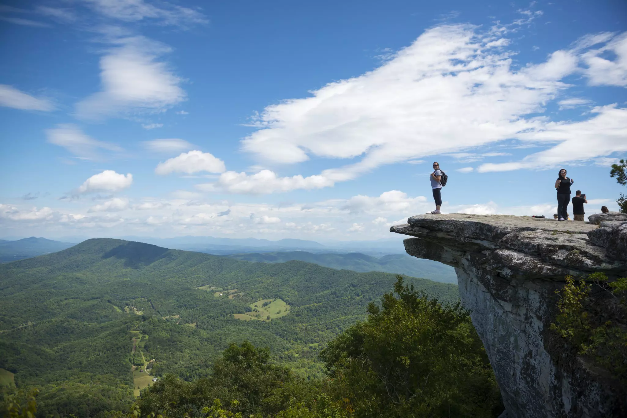
The drive: Expect small-town charm and big-time mountain views as you set off on the parkway, heading south.After entering the parkway at Rockfish Gap, you’ll focus the first leg of your journey on the Ridge Region, which stretches from here to Roanoke. Just over 5 miles in, stop at the Humpback Rocks visitor center and take a quick walk around the mountain farm, which offers a taste of life in 1890s Appalachia. There are also three different hiking trails here, ranging from easy to strenuous.
Continue down the road, pulling over at any overlooks or trails that strike your fancy – Greenstone Overlook (MP 8), Yankee Horse Ridge (MP 34) and Thunder Ridge (MP 74) are easy, worthwhile stops. At MP 89, break for lunch at the Peaks of Otter Lodge, which has views of Sharp Top Mtn; a shuttle (or strenuous hike) will take you nearly to the summit to enjoy panoramic views of the area. Spend the afternoon exploring the Peaks of Otter area: Johnson Farm, the Fallingwater Cascades Trail and Harkening Hill are all great hikes. Then continue driving south toward Roanoke (MP 120).
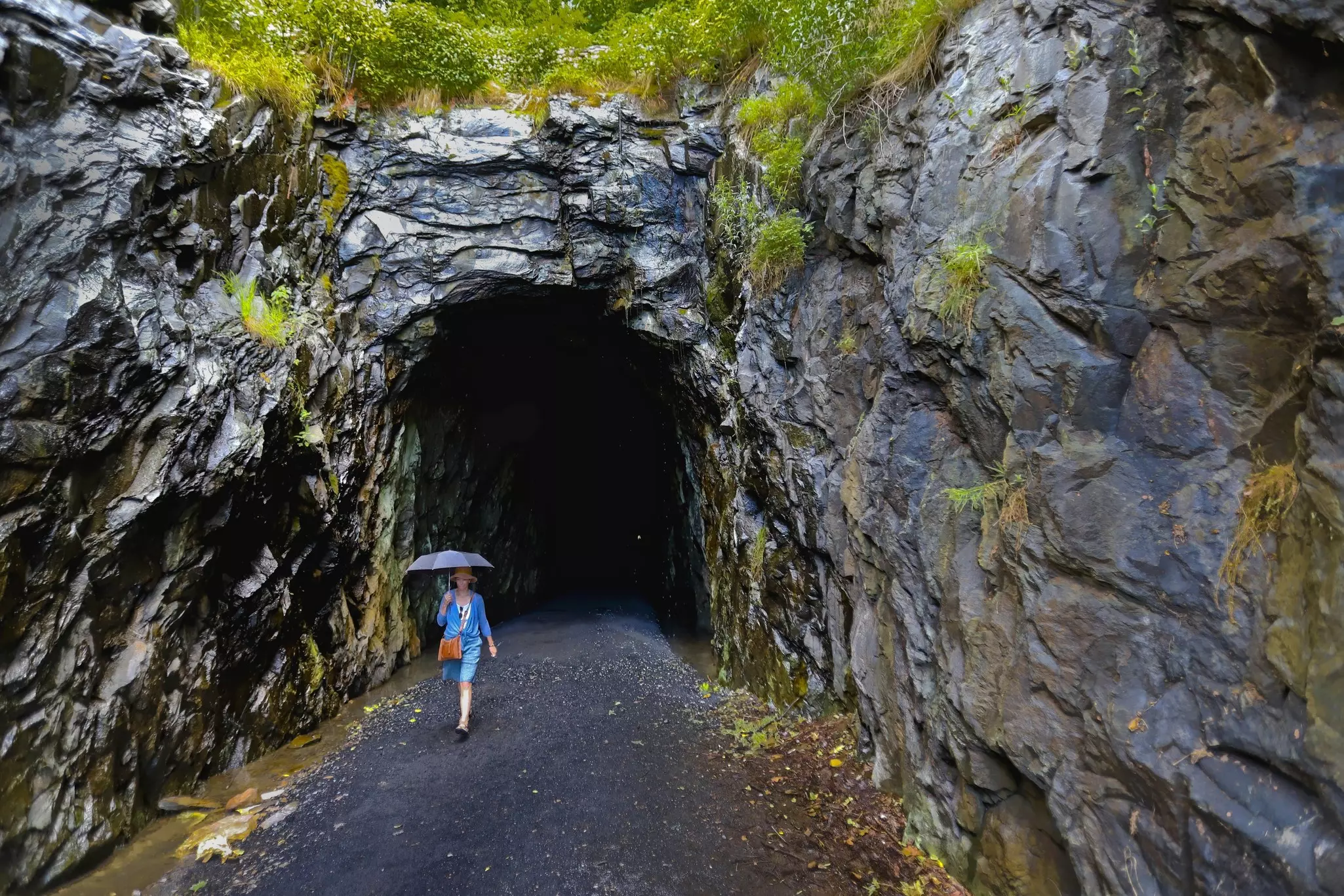
Do: One of the closest towns to the Blue Ridge Parkway’s northern terminus, Crozet is ideal for gassing up and gathering supplies before hitting the road. It’s about 10 minutes from the parkway, and also midway between the cities of Charlottesville and Waynesboro. If you want to kick off your adventure with a unique hike, the Blue Ridge Tunnel Trail is a 4273-ft-long passage that runs beneath Afton Mtn.
Eat: Plan to get an early start, and be sure to fuel up for your drive with a lavender latte and breakfast bagel from Mudhouse in downtown Crozet. If you’re looking for dinner the evening before you leave, Crozet Pizza is some of the best in Virginia.
Stay: You’ll find mostly small inns and Airbnbs in this rustic region; for more-traditional hotels, you could drive a bit further to Charlottesville, Waynesboro or Staunton. The cozy, bed-and-breakfast–style Inn at Stinson Vineyards overlooks the vines on this scenic estate. Also nearby, the Afton Mountain Inn is a boutique hotel in a 19th-century farmhouse with five guest rooms, a pool and a hot tub – all just minutes from the parkway.
Start point: Roanoke, VA (Milepost 120)
End point: Galax, VA (Milepost 199)
Distance: 79 miles
Drive time: ~2.5 hours
Recommended stops: Cahas Knob (MP 139) and Devil’s Backbone (MP 143) overlooks; Mabry Mill and the Rocky Knob Visitor Center (MP 176)
The drive: Today, you’ll be driving through the Plateau Region of the parkway, which stretches from Roanoke to Galax, just near the border of Virginia and North Carolina. You’ll pass through an outdoorsy mountain town, see rolling farmland and get a taste of Appalachian culture.
Begin by entering the parkway at MP 120 and driving up Mill Mtn Spur Rd, where you can see the largest man-made free-standing star in the world and take in views of the city below. Then head south, stopping at Cahas Knob (MP 139) and Devil’s Backbone (MP 143) for even more beautiful views.
At MP 176, stop at Mabry Mill and the Rocky Knob Visitor Center to enjoy a picnic lunch and then explore historical exhibits around the gristmill, sawmill and blacksmith shop. Keep driving to the Blue Ridge Music Center (MP 213), a performing arts facility built to promote and preserve the historic music of the region. Exhibitions take a deep dive into American roots music, and you’ll often hear local musicians performing here. Backtrack to MP 199 and wrap up the day in Carroll County, a region that’s known for mountain views and bluegrass.
Do: Roanoke is one of the biggest cities near the parkway, just a few minutes' drive from multiple access points. Its vibrant historic district has all the hallmarks of a cool, midsize Southern town: breweries, street art, museums and trendy boutiques. Enjoy a wander around the pedestrian-friendly downtown before resting up for a day of exploring the parkway’s Plateau Region.
Eat: For dinner, River & Rail Restaurant will give you a taste of Southern cuisine, with ingredients sourced from the Roanoke and New River Valleys. Before hitting the road the next morning, swing by Bread Craft Bakery for a breakfast sandwich or (and?...) sticky buns. Crystal Spring Grocery Co. has a nice selection of ready-made sandwiches, salads and other snacks great for taking on the road.
Stay: Roanoke has a range of hotel options, including chain hotels for budget-minded travelers. For something with a bit more character, check out the Liberty Trust, a luxury boutique hotel in a restored former bank building. The Tudor-style Hotel Roanoke is another historic property – a grande dame and member of the Historic Hotels of America.
Start point: Galax, VA (Milepost 199)
End point: Blowing Rock, NC (Milepost 293)
Distance: 94 miles
Drive time: ~3 hours
Recommended stops: Doughton Park (MPs 238–244), EB Jeffress Park (MP 272)
The drive: Get ready for an increase in elevation today as you enter North Carolina and the parkway’s dramatic Highlands Region – a place of mountain music, old-timey towns and waterfalls. Begin your day at the Fancy Gap entrance at MP 199, then head south toward Cumberland Knob (MP 217). This is where construction of the parkway began in 1935 as part of the New Deal, a massive program to get Americans back to work during the Great Depression.
With open meadows and rolling hills, Doughton Park (MPs 238–244) is a great place for spotting wildlife like deer, foxes and raccoons. You can also see historical demonstrations at Brinegar Cabin, explore an old homestead, and hike more than 30 miles of trails in this area. Nearby Northwest Trading Post (MP 258) is a good stop for souvenirs and snacks. Pause for a picnic at EB Jeffress Park (MP 272), and take a quick hike to see the Cascades waterfalls afterward.
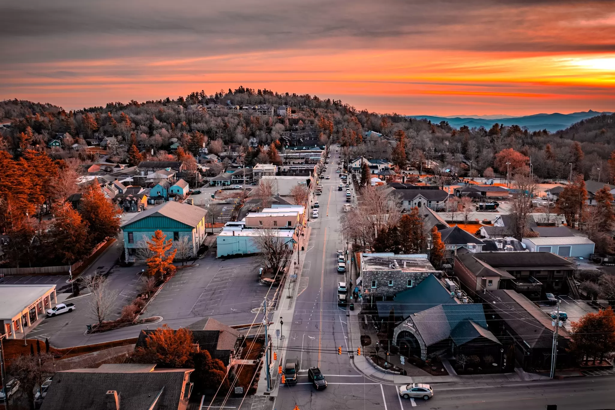
Then, continue driving into the Grandfather Mtn corridor, stopping at Moses Cone Memorial Park, home of the Parkway Craft Center and an extensive network of trails. Stop for the evening in the village of Blowing Rock (MP 293).
Do: Virginia’s heritage music trail, the Crooked Road runs through this region – and offers a worthy detour for fans of bluegrass and American roots music. Galax has a small downtown with antique shops and restaurants.
Eat: Local beer, brick-oven pizzas, and wings are on the menu at Creek Bottom Brewing in Galax. Briar Patch Marketplace & Cafe is a coffee shop and antique store downtown. Stop in at the Gap Deli for coffee, pastries and sandwiches as you head back on the road.
Stay: Galax, Hillsville and Fancy Gap have a handful of affordable chain hotels to choose from. You can go for the true mountain experience by booking a cabin in the woods with Fiddlers Roost or New River Trail Cabins.
Start point: Blowing Rock, NC (Milepost 293)
End point: Asheville, NC (Milepost 382)
Distance: 89 miles
Drive time: ~3 hours
Recommended stops: Linn Cove Viaduct (MP 304), Linville Falls (MP 316), Mt Mitchell State Park (MP 355), Craggy Gardens (MP 364)
The drive: On today’s drive, continue through the Highlands Region and into the Pisgah Region, ending in Asheville – along the way enjoying views of high peaks and a stunning gorge. Around MP 304, you’ll hit the iconic Linn Cove Viaduct, an engineering marvel that hugs the face of Grandfather Mtn – one of the most photographed spots on the parkway. There’s a bridge museum and visitor center at the south end of the viaduct.
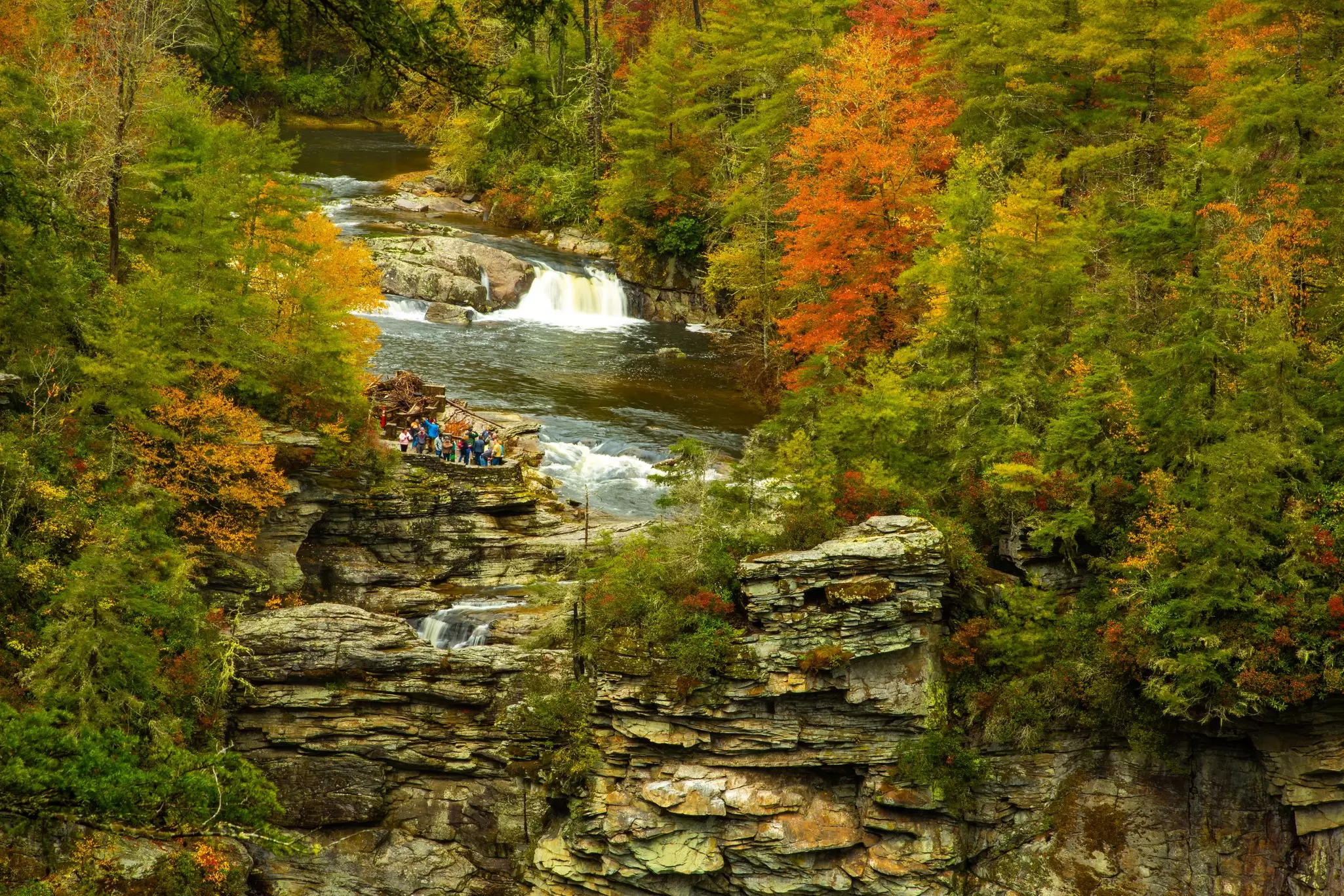
Consider exiting at MP 305 to visit Grandfather Mountain, a privately operated attraction famed for its mile-high swinging bridge and wildlife habitats. Back on the parkway, Linville Falls (MP 316) has trails leading to the three-tiered waterfalls over a steep-walled gorge that some compare to the Grand Canyon. Stop by the visitor center and relax with a picnic nearby after your hike – keeping in mind that since this is one of the most popular stops on the parkway, things can get crowded.
Continuing on, you’ll notice the landscape becoming more rugged, and you’ll drive through an increasing number of tunnels. Enter the Pisgah Region around Crabtree Falls (MP 340), which offers a strenuous but rewarding hike. At MP 355, Mt Mitchell State Park boasts the highest peak in the Eastern US at 6684ft, with a road that leads nearly all the way to an observation deck at the summit. There’s also a natural history museum, gift shop and restaurant on site.
If you have any daylight (or energy) left, stop at Craggy Gardens (MP 364) for postcard-perfect views that are especially stunning in early summer, when the rhododendrons are in bloom. End the day by driving into Asheville (MP 382), the official headquarters of the Blue Ridge Parkway.
Do: Explore Blowing Rock’s storybook downtown, said have inspired best-selling author Jan Karon; the quaint Main St corridor has numerous boutiques, antique shops and cafes. Edgewood Cottage is a gallery specializing in local High Country artists, while the Blowing Rock Art & History Museum will give you a deeper understanding of the area. Five minutes from downtown, visit the Blowing Rock, a dramatic rock outcrop high above the valley with magnificent views.
Eat: On the edge of downtown Blowing Rock, the Speckled Trout serves fresh takes on classic Appalachian food and drink. Bald Guy Brew and Camp Coffee Roasters are both solid stops for morning coffee and pastries. Blowing Rock Market is perfect for picking up road snacks and picnic supplies.
Stay: For an upscale stay, check in at Chetola Resort, a luxurious mountain lodge. Gideon Ridge Inn is a cozy B&B with an award-winning restaurant. If you prefer something more central, the Inn at Ragged Gardens is situated in an early-1900s manor house in the heart of the village.
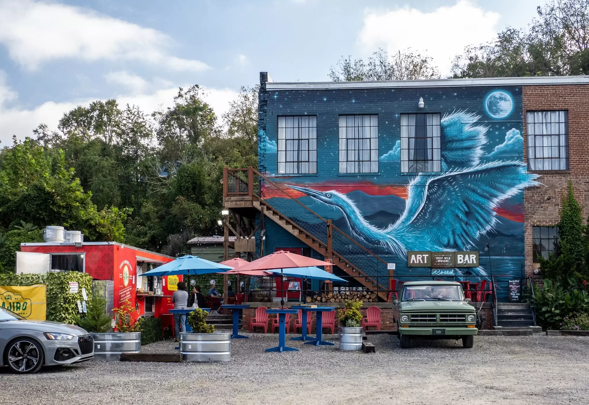
Start point: Asheville, NC (Milepost 382)
End point: Cherokee, NC (Milepost 469)
Distance: 87 miles
Drive time: ~3 hours
Recommended stops: Mt Pisgah (MP 408), Richland Balsam Overlook (MP 431)
The drive: For your final day of driving, head southwest from Asheville to Cherokee, toward the Great Smoky Mountains. At MP 408, you’ll hit Mt Pisgah. Pause here to enjoy the spectacular views from the hiking trails and lunch at the Pisgah Inn, then keep driving through some of the parkway’s highest elevations, consistently topping 5000ft.
Stop at Graveyard Fields (MP 418) to take in the view from the overlook, or take the 2-mile loop trail to Yellowstone Falls. Richland Balsam Overlook (MP 431) boasts the highest elevation on the parkway at 6053ft. And finally, Waterrock Knob (MP 451) has views out to all the major Southern mountain ranges, including the Great Smokies, the Great Balsams and the Craggies. End your journey in Cherokee, North Carolina, where the parkway gives way to Great Smoky Mountains National Park.
Do: You won’t struggle to find things to do in Asheville, such as visiting the opulent Biltmore Estate, sampling IPAs at microbreweries and taking in the town’s many art galleries. At the entrance to the parkway, the superb Folk Art Center (MP 382) is home to the Southern Highland Craft Guild, and features exhibits, demonstrations, and a shop devoted to promoting regional artists. The Asheville Botanical Garden and North Carolina Arboretum are also notable stops for nature lovers. Visit the River Arts District to browse the working studios of numerous artists.
Eat: Asheville, a culinary hot spot, has numerous acclaimed restaurants helmed by award-winning chefs; the Market Place and Chai Pani are two of our favorites. 12 Bones Smokehouse is reportedly the Obamas’ pick for barbecue when they’re in town. You can also get a taste of the buzzy local beer scene with your meal at Sierra Nevada, Burial Beer Co. or Wicked Weed’s Funkatorium.
Stay: Asheville has no shortage of design-forward hotels. In the interest of staying on theme with our parkway drive, head to AutoCamp Asheville, which offers glamping in Airstreams, cabins and tents. Wrong Way River Lodge & Cabins is a collection of A-frames just off the French Broad River Greenway. And the Omni Grove Park Inn is a luxurious, sprawling resort near the parkway that’s been welcoming mountaineers for over a century.
Explore related stories