Jun 30, 20269 min read
The ultimate long weekend in BarcelonaJul 16, 2020
4 MIN READ

Writer
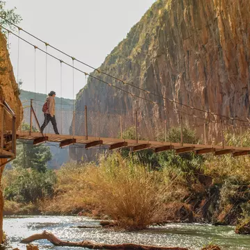
Though not a true hikers' paradise, Puerto Rico offers a few trails to enjoy © dennisvdw / Getty Images

Writer
Lonely Planet may earn a commission from affiliate links on our site. All recommendations and reviews reflect our own independent opinions.
Hiking in Puerto Rico has plenty of potential. But what you actually get out of it depends largely on your expectations and how willing you are to strike out on your own (often without a decent map). It would be wrong to paint a picture of the island as some kind of hiker’s nirvana; although the scenery is lush and the coastline wonderfully idyllic, a lack of well-kept paths and a dearth of accurate information are the main challenges. But if you're up for the challenge, the end results are worth it.
On a clear day, never-ending views of Vieques and Culebra reward hikers who tackle the almost 1500ft elevation gain on this 2. 4-mile, 1½-hour trail to the top of El Yunque (3496ft). Starting opposite the Palo Colorado Information Center (which is temporarily closed), you'll ascend past mountain-palm trees and waterfalls to the cloud forest with “dwarf” trees, to the observation deck surrounded by communication towers.
If you want a rock scramble from here, take Los Picachos Trail (0. 17 miles) to another old observation tower and feel as if you have crested a tropical Everest. You can return via a different route by descending down a service road to the Mt Britton Trail and then down a dirt track to Rte 191 and back to your starting point.
If you're short on time and want to feel like you've really “summited,” take the 0. 8-mile (45-minute) climb up paved pathways, through the sierra palm forest into the cloud forest and the Mt Britton Tower. On a cloud-free day, the panoramic views from the stone lookout tower reach over the forest to the Atlantic and the Caribbean.
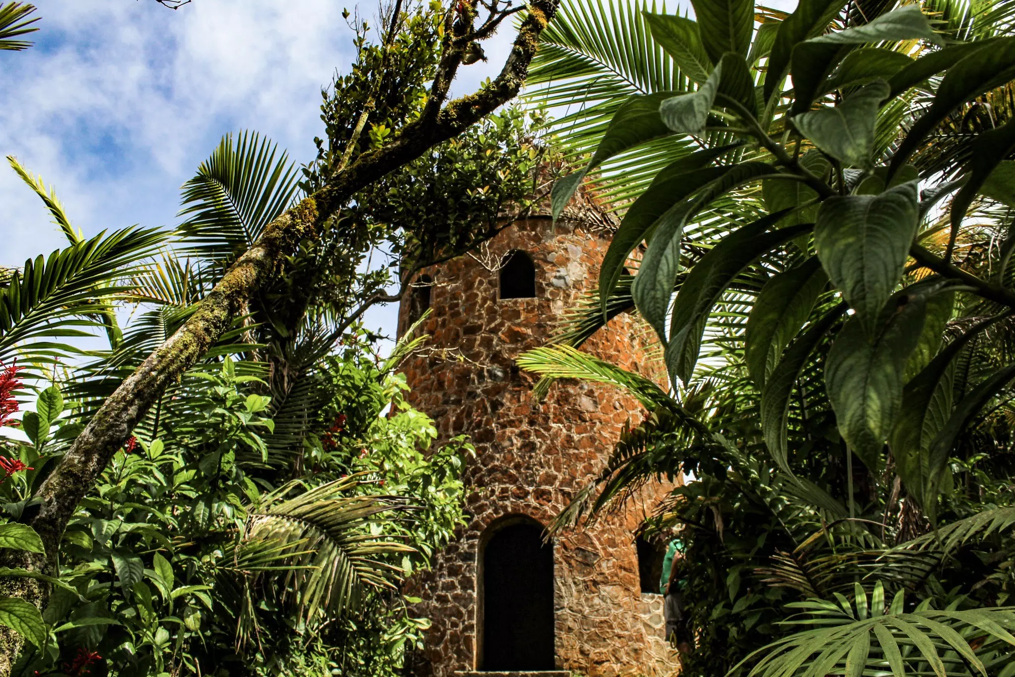
The trailhead veers off Hwy 191 for 0. 3 miles at Km 13. Afterward, the more adventurous can connect to the El Yunque Trail via the 0. 86-mile Mt Britton Spur. The tower was built in the 1930s by the Civilian Conservation Corps and named after the famous botanist Nathaniel Britton, who identified several plant and tree species in the region in the 1920s.
This beautiful trail traces the coastal part of the Bosque Estatal de Guánica, and is one of the reserve's few routes that you pick up by following Hwy 333 to its termination at the Bahía de la Ballena. This is a wild 4-mile round-trip used by both hikers and cyclists and skirts one of the region's prettiest beaches, Playa Tamarindo.
If you follow the Camino El Bolo trail up from the ranger station in Reserva Forestal Toro Negro, after about three miles you'll intersect with this steep trail, snaking up to an observation tower with superb views. Return to the Area Recreativa Doña Juana, from where the ranger station is a short walk along Hwy 143, via Vereda La Piscina.
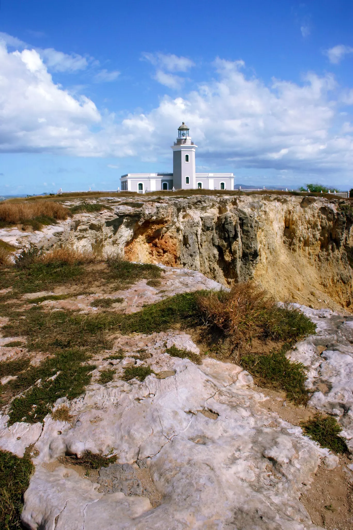
From this smartly remodeled lighthouse at the bone-rattling end of Hwy 301, there's not much further you can go: you're as south as it gets in Puerto Rico. The Los Morrillos Lighthouse stands sentinel on the headland of Punta Jagüey, with some dramatic cliff formations right beyond the outer walls. An observation deck overlooks the surreal turquoise of the waters lapping Playa Santa and the expanse of the Caribbean behind.
If a volunteer is on hand at the lighthouse, they might offer a casual history of the Refugio Nacional Cabo Rojo area (largely revolving around the salt panned nearby). The final stretch of gravel road is not passable for cars but a 10-minute walk from the parking lot will have you at the door.
Despite the damage that's been left behind from Hurricane Maria, the Charco Azul Trail is open. Be warned, the area has not been well maintained since the hurricane. The bathrooms and camping area are no longer operational. The reserve's most popular trail leads to a hazy blue swimming hole. It's an easy half-mile walk from Hwy 184, near the forest's southeast corner.
The swimming hole is about 15-feet deep with a rocky bottom. It can be a madhouse on summer weekends, but relatively lonely in the winter. Beyond the swimming area there's another, sketchier trail leading to the top of Cerro La Santa (2730ft), Carite’s highest point.
This trail in the Bosque Estatal de Guajataca leads to the wondrous Cueva del Viento (temporarily closed). It branches off from the Interpretative Trail which begins just up from the ranger station.
You might also like:
How sustainable tourism is thriving in Puerto Rico Day trips from San Juan Puerto Rico's 10 best beaches
Explore related stories