
Advertisement
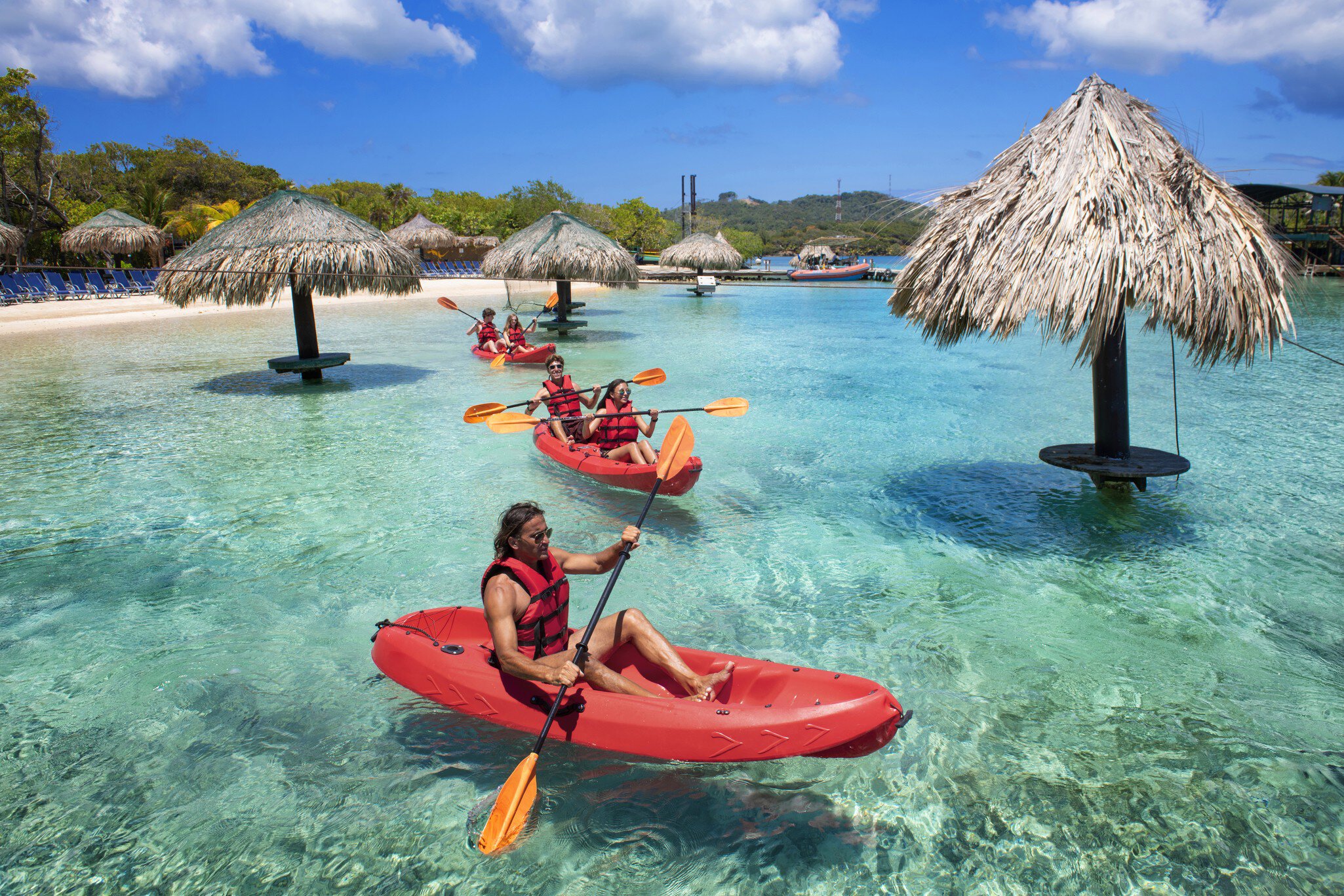
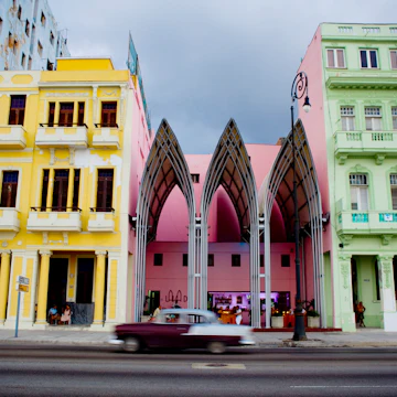
Caribbean
From high mountain peaks to shimmering reefs, spicy salsa rhythms to hip-swaying reggae, pirate hideouts to sugar-sand beaches, the Caribbean is dizzyingly diverse.
Antonio Busiello / Getty Images
Latest Stories
- Carolee Chanona|Apr 4, 2026The 7 best places to snorkel in the Caribbean
- Nasha Smith|Mar 31, 20268 of the best places to visit in the Caribbean
- Laura Dowrich|Mar 24, 202610 tips for visiting the Caribbean on a budget
- Portia Jones|Feb 27, 202613 of the best beaches in the Caribbean
Book

Top places to visit in Caribbean
Discover the best attractions in Caribbean from must-see sights to unexpected hidden gems.
-
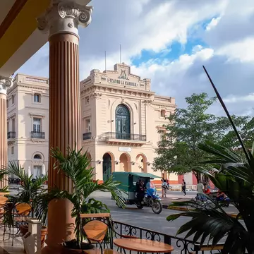
 Attraction in HavanaCapitolio Nacional
 -
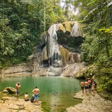
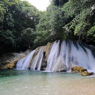 Attraction in Ocho Rios, Port Antonio & the North CoastReach Falls
 -
-
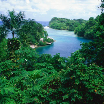 Attraction in Ocho Rios, Port Antonio & the North CoastBlue Lagoon
 -
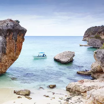
 Attraction in BonaireBonaire National Marine Park
 -
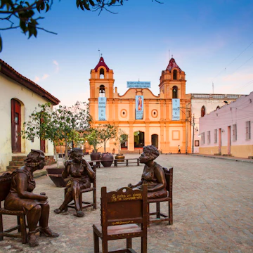 Attraction in CamagüeyPlaza del Carmen
 -
 Attraction in Port-au-Prince & AroundGrand Rue Artists
 -
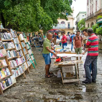
 Attraction in Habana ViejaPlaza de la Catedral
Advertisement
Travel Guides
Caribbean travel tips from Lonely Planet experts
Find practical guidance from our team of contributors around the world who bring their decades of first-hand travel experience to your next trip.
Best Things to Do
Plan your activities in the Caribbean with this guide to the islands' top experiences.
Read full article
Money and Costs
With some careful planning, lots of research and a sense of adventure, the Caribbean islands are yours to enjoy.
Read full article
Best Places to Visit
Reckon you know the Caribbean? Think again. Experience these less-visited destinations.
Read full article
Advertisement
Get a book. Get inspired. Get exploring.
in partnership with getyourguide
Book popular activities in Caribbean
Lonely Planet may earn a commission from affiliate links on our site. All recommendations and reviews reflect our own independent opinions.
Caribbean and beyond
- destinationCuba
- destinationJamaica
- destinationPuerto Rico
- destinationDominican Republic
- destinationHavana
-
 destinationHabana Vieja
 - destinationFrench Antilles
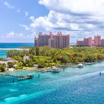
- destinationThe Bahamas
Advertisement