Our Favorite Places
Where to Go This Spring
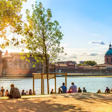
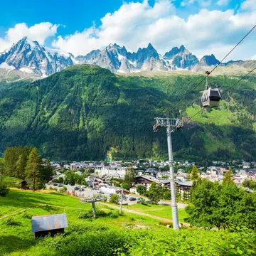
Where to Go This Summer
Popular
Countries
Cities
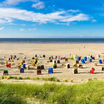
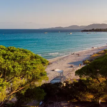
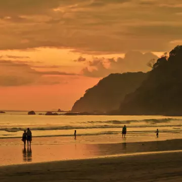
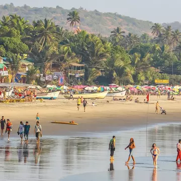
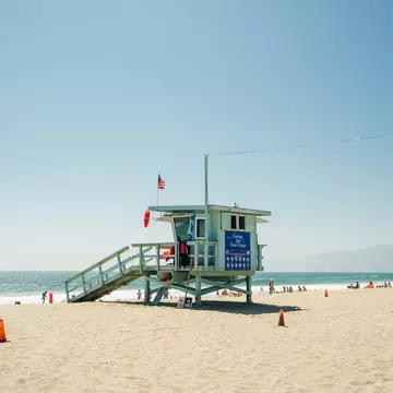
For Beaches
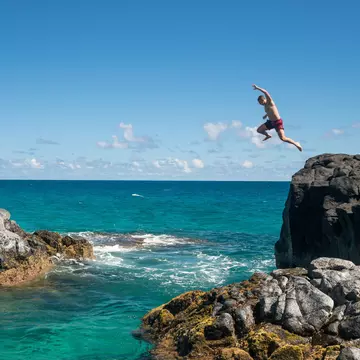
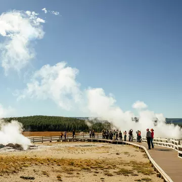
For Adventure
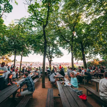
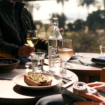
For Food & Culture
Get inspired by destinations chosen in this year's Best in Travel list.
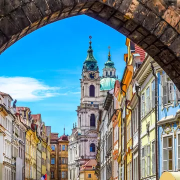
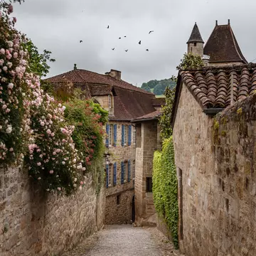
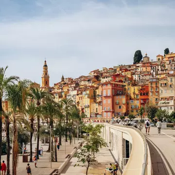
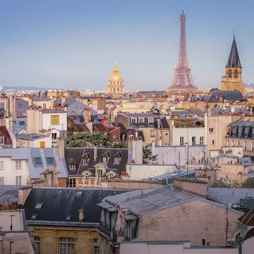
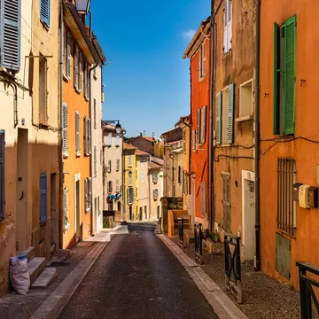
Experience Europe's ancient history, amazing beauty, divine food and incredible culture.
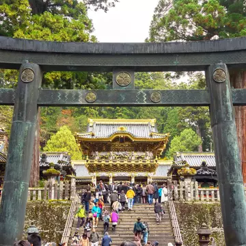
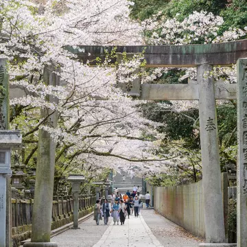
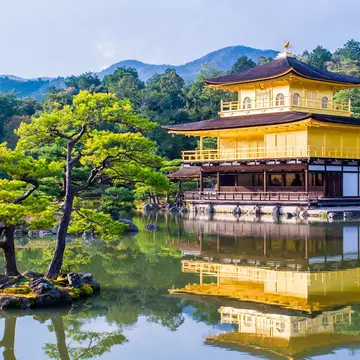
Uncover Asia's iconic attractions, must-visit places and epically awesome experiences.
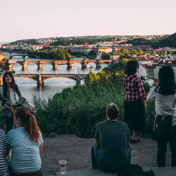
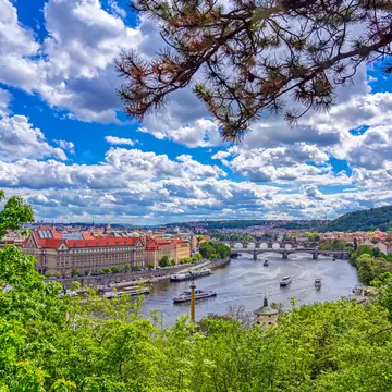
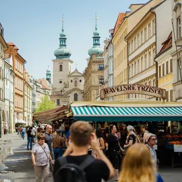
See the city's iconic sites, sample famous foods and marvel at world-class museums.
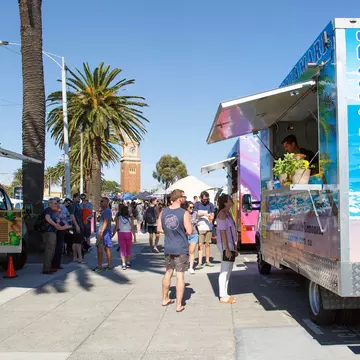
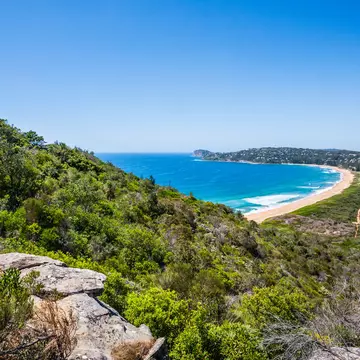
With big city energy, wide open spaces and thousands of beaches, Australia has it all.
Lose yourself in Morocco's medinas and explore its breathtaking mountains.
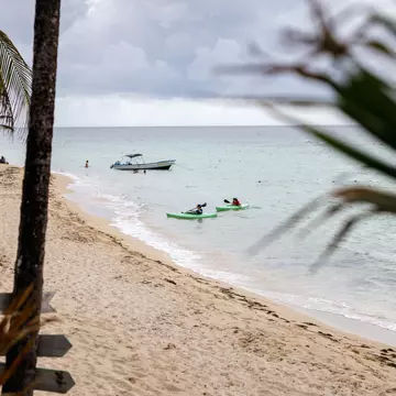
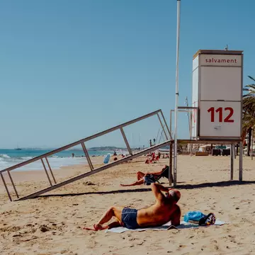
These islands have unique personalities that go beyond gorgeous beaches.
Inspiration
WHERE TO GO THIS SUMMER
Guidebooks
More
Lonely Planet's annual bestselling guide to travel returns with the 25 hottest must-visit destinations and 25 must-do experiences for 2026.
Tick off the biggest bucket list trips with this definitive guide to 100 of the world's greatest travel adventures.
From spotting throngs of penguins on South Africa's Boulders Beach to seeing Hong Kong's dazzling festoon of lights at the city's seasonal Winterfest, Where To Go When With Kids is the comprehensive trip planner of inspiring month-by-month adventures to spark your family's curiosity.
Explore 100 of Australia's most beautiful beaches in this stunning photographic guide with fascinating insights from local writers and adventurers.
Top Destinations
Bookable Trips
These ready-to-book itineraries are crafted by our team of experts all over the world. Pick a destination, and we'll take care of the rest.
TRAVEL ESSENTIALS
ON OUR RADAR
YOUR NEXT TRIP STARTS HERE
WHERE TO GO
WHEN TO GO
WHAT TO DO
The 2026 FIFA World Cup is more than a tournament—it’s a once-in-a-lifetime journey across three nations and sixteen unforgettable cities.
Join our community and get weekly travel inspiration, exclusive discounts, and stories from Lonely Planet’s far-flung team of writers and editors – delivered straight to your inbox.
Not sure where to start?
Start Discovering
Europe
EXPLORE
Asia
New York City
Australia
Morocco
The Caribbean
Best in Travel 2026
Shop now
Dream Trips of the World
Where to Go When With Kids
Best Beaches Australia
Our new bookable trips
GET STARTED
2026 World Cup
PLAN YOUR TRIP
Lonely Planet Newsletter
SIGN UP HERE
Continent:
Category:
Results (10,017)
Explore
Shop