
Advertisement
Arizona
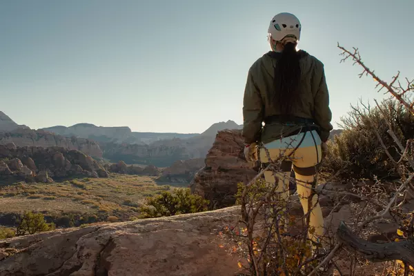
Arizona's ancient beauty reminds you that human affairs are short-lived. Navigate the state's many showstoppers by car and you'll never forget the long, romantic miles under endless skies.

©Sam Spicer/Shutterstock
Latest Stories
- Kathleen Baxter|May 7, 2026Ultimate weekend in Scottsdale, Arizona
- Erin Gifford|Mar 24, 2026A guide to Tucson
- Janet Gyenes|Feb 5, 2026The best time to visit Arizona
- Janet Gyenes|Apr 16, 2025Top 20 things to do in Arizona
Book

Trusted Partner
Dreaming of Arizona? Protect your trip
Travel with confidence. Protect your trip and your wallet.
We don’t represent World Nomads, we receive a fee from quotes using this link. This is not a recommendation to buy travel insurance.
Take your United States (USA) trip with Lonely Planet Journeys
Time to book that trip to The USA
Lonely Planet Journeys takes you there with fully customizable trips to top destinations – all crafted by our local experts.


Top places to visit in Arizona
Discover the best attractions in Arizona from must-see sights to unexpected hidden gems.
-
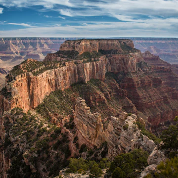 Attraction in Grand Canyon National ParkGrand Canyon National Park North Rim
 -
 Attraction in Grand Canyon RegionGrand Canyon National Park
 -
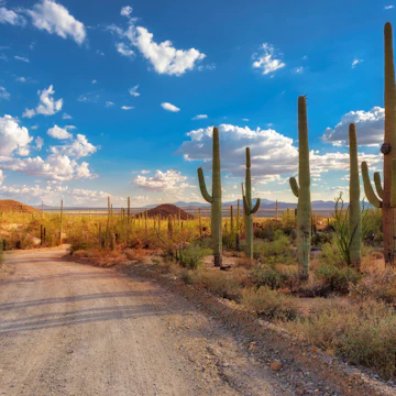 Attraction in TucsonSaguaro National Park
 -
 Attraction in Grand Canyon National ParkCape Royal
 - Attraction in TucsonCoronado National Forest
- Attraction in Saguaro National ParkSaguaro National Park (East)
- Attraction in ArizonaWupatki National Monument
- Attraction in ArizonaGrand Canyon West
Advertisement
Travel Guides
Arizona travel tips from Lonely Planet experts
Find practical guidance from our team of contributors around the world who bring their decades of first-hand travel experience to your next trip.
Best Things to Do
Here are the essential trails, rafting spots, attractions and more no visitor to Grand Central National Park should miss.
Read full article
Best Time to Visit
Pick the right time for your visit to Arizona with this seasonal guide to what's happening through the year.
Read full article
Transportation
Cars rule the road in the Grand Canyon State, but there are alternatives – here are the best ways to get around.
Read full article
Free Things to Do
Deciding what to see in Arizona can take some planning if you're traveling on a budget. Here are the top free things to do in the Grand Canyon State.
Read full article
Best Road Trips
From major national parks and historic roads to incredible culture and charming small towns, these are the 7 best road trips in Arizona.
Read full article
Best Places to Visit
Arizona’s desert landscapes draw visitors from all over the world. Yet the Grand Canyon State offers far more than just stunning nature.
Read full article
Advertisement
in partnership with getyourguide
Book popular activities in Arizona
Arizona and beyond
-
 destinationGrand Canyon National Park
 -
 destinationGreater Phoenix
 -
 destinationPhoenix
 -
 destinationGrand Canyon Region
 - destinationGrand Canyon National Park South Rim
-
 destinationFlagstaff
 -
 destinationTucson
 -
 destinationSedona
Advertisement