Jul 10, 202611 min read
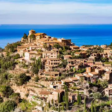
The top 20 things to do in SpainSep 12, 2025
14 MIN READ

Writer
A pilgrim in Santiago de Compostela. Armando Oliveira/Shutterstock

Writer
Lonely Planet may earn a commission from affiliate links on our site. All recommendations and reviews reflect our own independent opinions.
Pilgrims have walked the network of ancient trails known as the Camino de Santiago for more than 1000 years. Like the ridges on the Camino’s scallop-shell waymarkers, many pilgrim routes lead to Santiago de Compostela – but the popular Camino Francés stands out.
It’s more than “just” a 767km hike: it’s a transformative journey through Spain’s diverse landscapes, offering cultural immersion, quiet introspection and human connection. The magic lies not only in the distance covered, but also in experiences that leave a lasting mark on the soul.
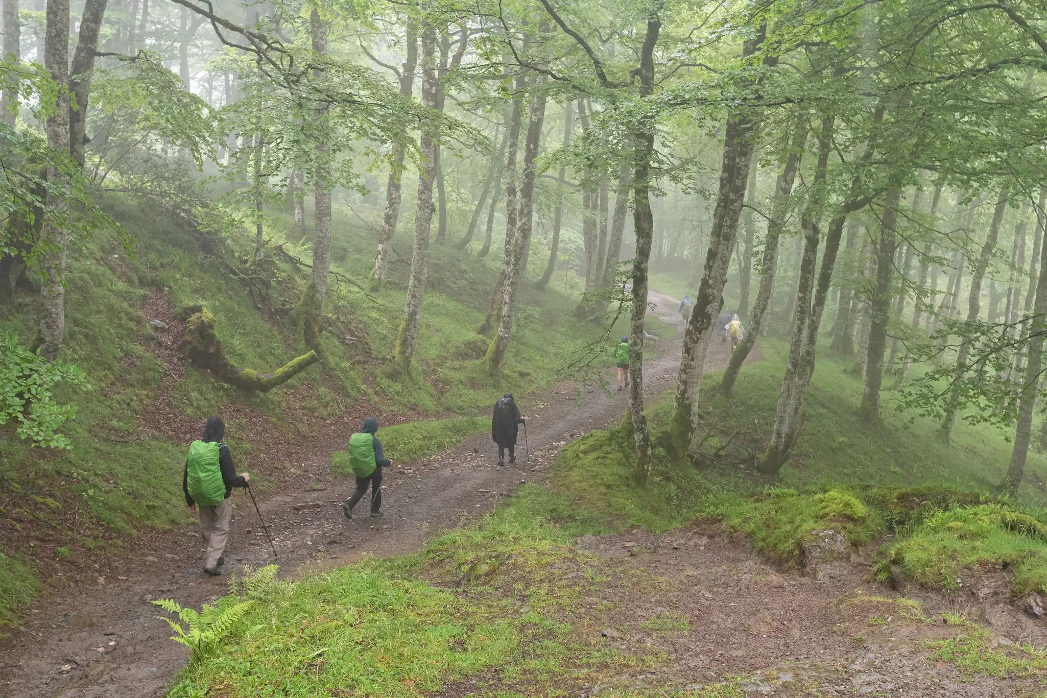
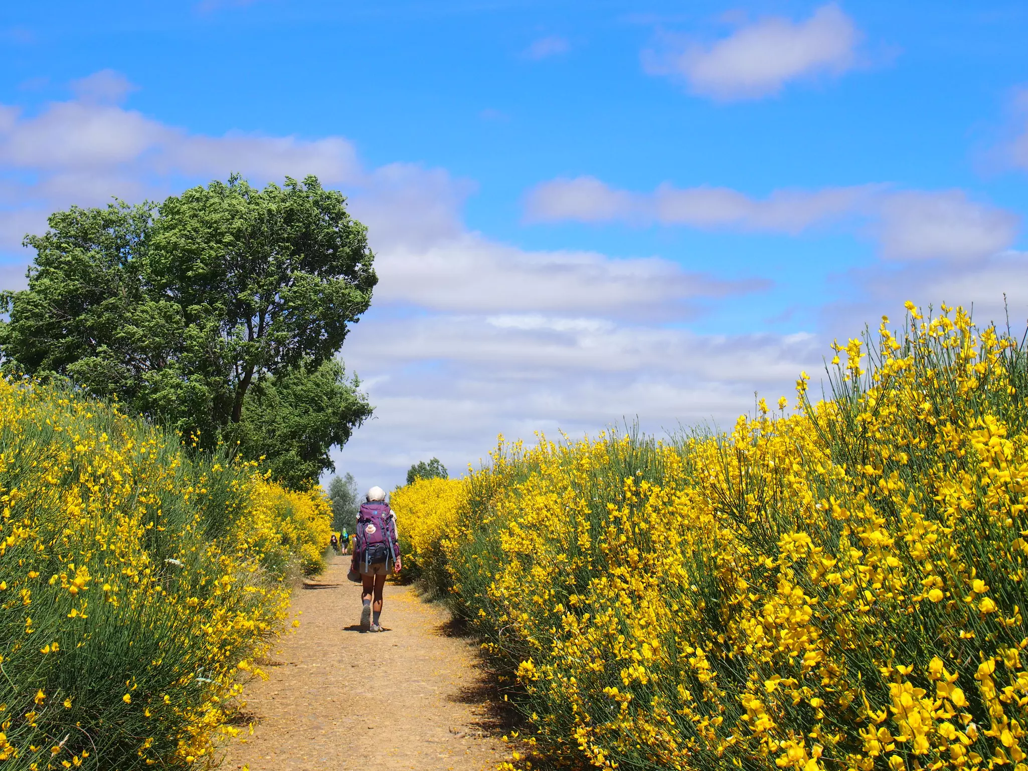
The Camino has indeed changed since the first medieval pilgrims blazed these trails. Not only have the cities spread their shabby skirts out across the plains, but in many places the pilgrims passage can now fall under the (perhaps envious) gaze of commuters on highways and railway lines. Ancient oak and chestnut forests still stand, yet you’ll notice as you travel further into the western hills of Galicia that today’s shade and shelter are provided more often by eucalyptus trees.
Some things remain timeless, however, and you can still expect gorgeous sunlit mornings (or romantically misty ones) while wandering through Spanish orchards, where branches hang heavy with apples, peaches and figs. You can still picnic in the shade of olive groves, and the evocative vineyards of La Rioja are a highlight. Vines form a backdrop through western Navarra and into the autonomous community of Castilla y León.
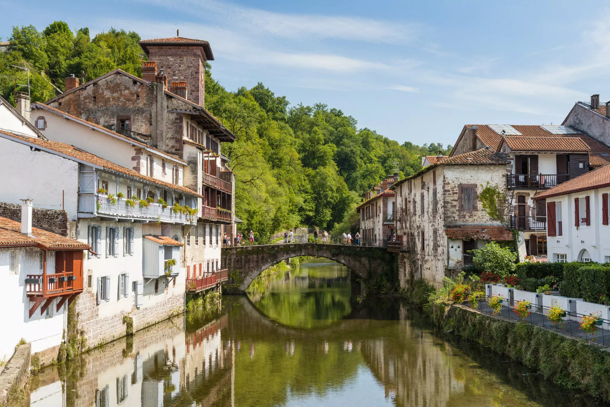
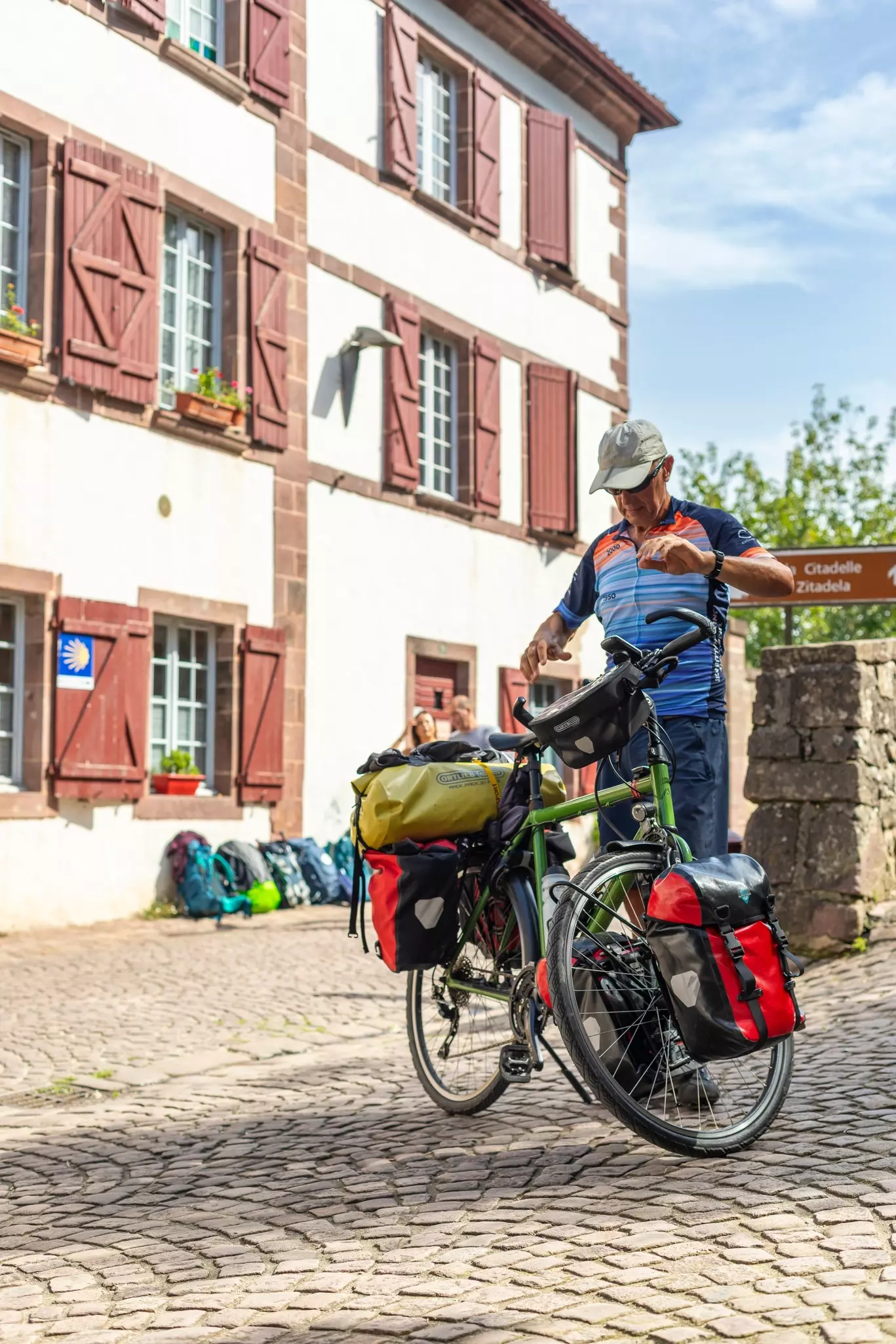
The official starting point of the Camino Francés is Saint-Jean Pied de Port in southwest France. Getting to Saint-Jean can be a challenge: there’s one daily bus from Pamplona, with a midday departure. On the French side, most pilgrims find their way by train from Bayonne.
Alternatively, many choose to start in Pamplona, a city accessible by bus or train from most Spanish hubs. You will miss the three-day hike over The Pyrenees, but if you’re worried about the scale of that undertaking, then it’s a good option.
Often seen as the “baptism of fire” of the Camino Francés, the crossing of the Pyrenees is the toughest stage of the entire journey. This brutal 65km leg involves a hike over the Napoleon Route, comprising a 1250m climb and a knee-challenging 500m descent. Also note that some pilgrims also choose to start (or complete) their walk in León.
The winery of Herederos del Marqués de Riscal, 13km northeast of Nájera in Rioja’s famous wine region, might just be Spain’s greatest flagship bodega. Marqués de Riscal has been producing wine here since 1860. While the grand old cellars remain catacomb-like, this historic winery was projected into the space age in 2006 with a flamboyantly avant-garde titanium-roofed building designed by Frank Gehry (of Bilbao’s Guggenheim Museum fame) and costing a cool €85 million.
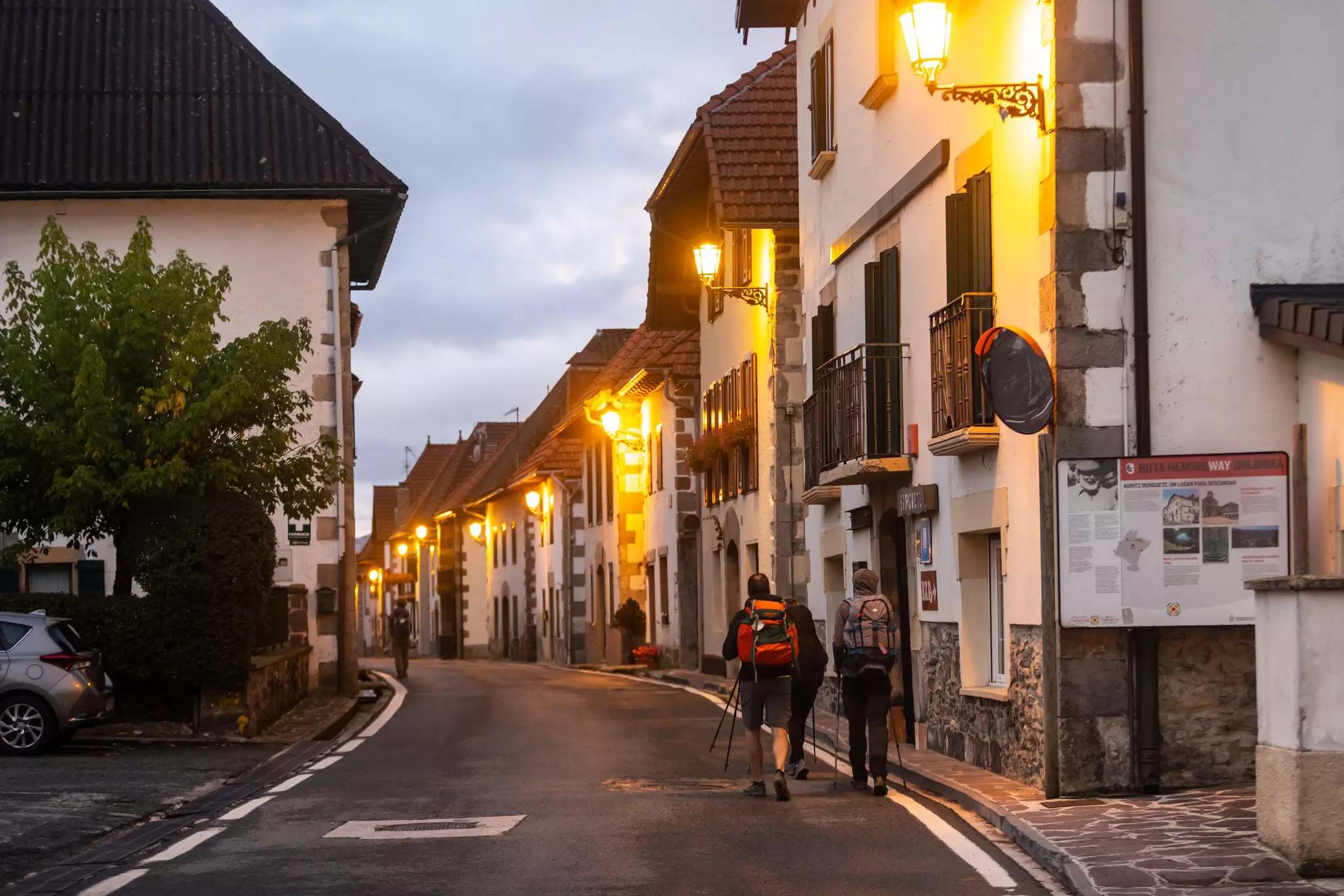
The official Camino season begins on April 1 and ends Oct. 31. Increasing numbers of pilgrims are dodging the crowded summer months and setting out in April, at the beginning of the season.
In summer, from June to August, the heat is a major consideration. Temperatures can hover around 30°C to 35°C in the middle of the day, although more hours of daylight help for traveling further (you can always rest when the sun is highest), and the trails are enlivened by Spanish pilgrims.
In September and October, the autumn off-season is another chance to avoid crowds and, with luck, you can still enjoy sunny weather.
An increasing number of “lone wolves” enjoy winter months on the Camino, but most albergues are closed and facilities limited so more planning will be needed.
Location: The Pyrenees
The Pyrenees can be an intimidatingly bleak place, but on a clear day, Alto de Lepoeder offers the first view into Spain and the rolling hills of the Navarran highlands.
The weather can change instantly up here, and unfortunately there are few places to shelter. You will come across several small three-sided shelters, but they are only built up to about chest height, and they don’t have any roofs. The steepness of the climb levels off substantially as you approach Pic d’Orisson (1095m) and Collado de Bentartea (1337m). Also known as Napoleon’s Pass, this is the Spanish border and marks your entry into Spain – although the only sign of a border is a stone marker carved with the word “Navarra”. From St-Jean Pied de Port to Alto de Lepoeder, you’ll have climbed to 1480m. Take a moment to savor that.
Location: Western edge of Castilla y León
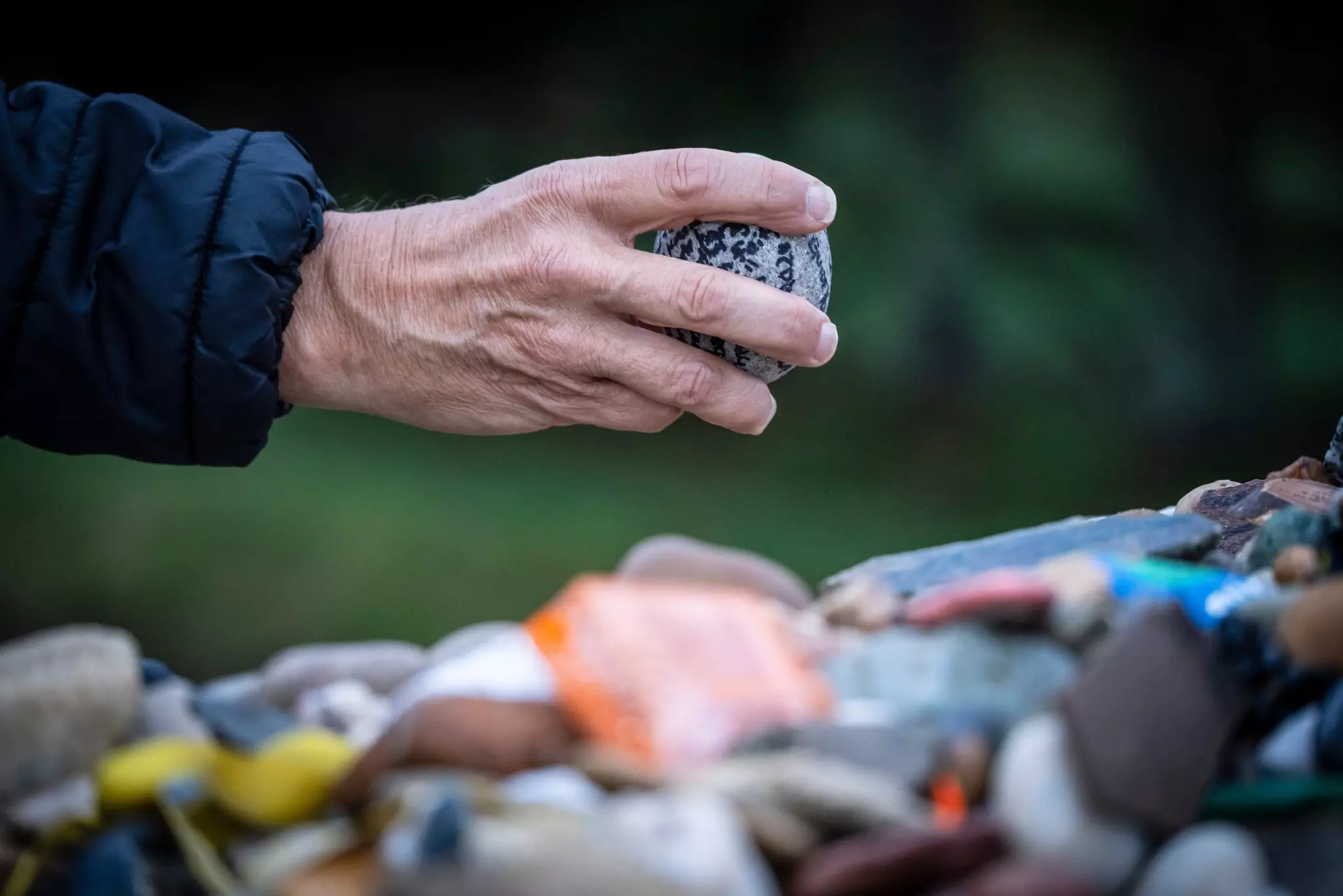
The Cruz de Ferro has become one of the most poignant spots on the Camino as the place where pilgrims offload metaphorical (and literal) weight. Drop a stone and shed your burdens at this ancient mountaintop cross, the loftiest on the Camino.
The Astorga plateau stands at around 870m above sea level, and most people divide the 1504m climb to the Cruz de Ferro into a two-day hike. While your muscles have been hardened by the Pyrenees, it’s sometimes easy to forget that when faced with the 27km climb from Foncebadón to the cross and the knee-bashing scramble down to Ponferrada city.
Location: Navarre
This evocative town is where you finally leave the banks of the Río Arga with a crossing over a majestic 11th-century bridge. About 25kms out of Pamplona – the biggest city in terms of population that you’ll traverse on this journey – you enter a very different Spanish wilderness. On Puente la Reina’s famous Romanesque bridge, you finally say goodbye to the Río Arga, an old friend by now. Ahead lies a landscape polka-dotted with olive trees and ribbed with a corduroy patchwork of Rioja’s celebrated vines.
Location: Burgos
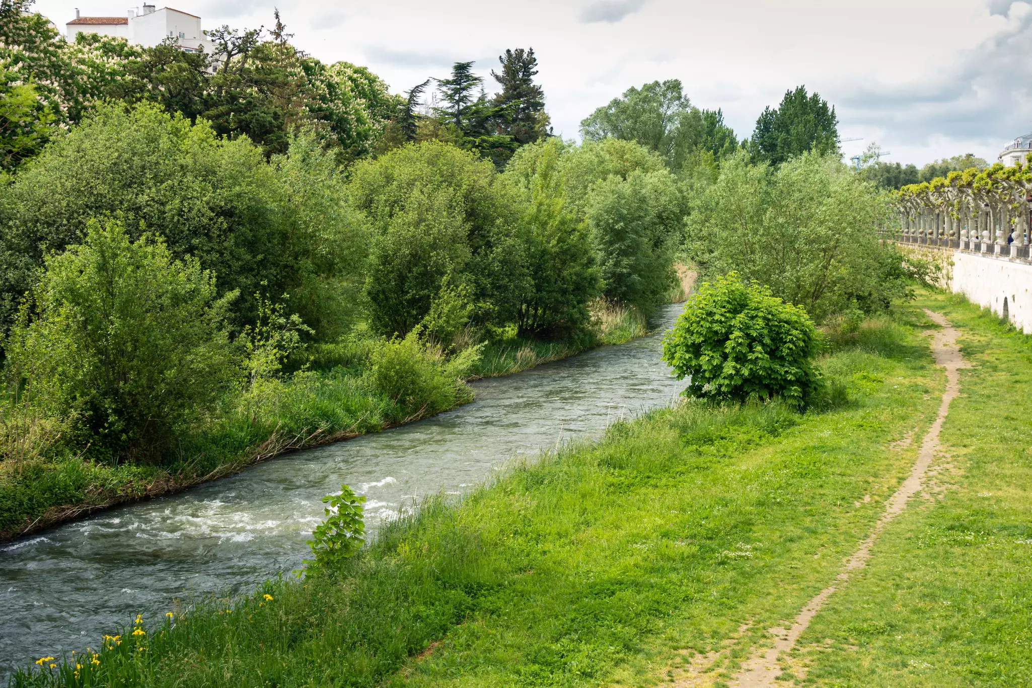
Río Arlanzón accompanies you for two full days as you walk along pleasantly wooded riverbanks and through historic Burgos. It is one of several rivers you’ll become very familiar with during your journey. By the time it passes through Burgos, it’s already a fairly large river. You’ll cross the river as you exit Burgos over the medieval Gothic bridge known as Puente de Malatos (Bridge of Maladies), named for the San Lázaro de Malatos leprosy hospital that once stood nearby.
Look for the majestic statue of the “Engineer of the Camino” (Santo Domingo) on the south bank. You’re now heading into territory that’s more renowned for barrancos (gullies) and arroyos (canyons) than for ríos, so enjoy it while it lasts. A convenient picnic spot with fountain, tables and plentiful shade is perfectly located about 5km from Burgos, just before you tackle the mind-boggling web of railway lines and highway junctions outside the city. You’ll say goodbye to the Río Arlanzón at Puente del Arzobispo (Bridge of the Archbishop), and despite being almost in the shadow of the A-231 flyover, it’s a spectacular spot with a wide natural pool. This is the last “proper” river you’ll see for 40km, until the Río Pisuerga welcomes you into Palencia province.
Location: Lugo
The town of Portomarín was rebuilt at its current hillside vantagepoint after the Río Minho was dammed in the 1960s.
You’ll cross the Río Minho over the 300m-long Ponte Nova de Portomarín (New Bridge of Portomarín). Despite the vertigo, look below you, because in recent years drought has revealed the ancient bridge of Roman origin that was submerged in 1963 when the dam was built.
On the far side of the Minho, the Camino veers immediately to the left to cross the narrow Río Barrela, bypassing Portomarín altogether. But as a steep climb lies ahead, consider detouring into this lovely town of pretty plazas for refreshments first. Don’t let the very steep stone steps (part of that original bridge) deter you. Portomarín is picturesque, and D’gusta Bakery serves excellent breakfast.
Location: Rioja Alta
Known to the Romans as “the place among the rocks, ” Nájera is more memorable to pilgrims these days for the La Rioja vineyards that clothe the surrounding hills.
Nájera’s new town is an urban sprawl of warehouses and mechanics’ workshops, but you’ll enter an infinitely more charming neighborhood once you cross the Puente San Juan de Ortega over the Río Najerilla and step into the old town.
Many people who first decide to walk "The Camino" are unaware that there are many other Camino options crisscrossing Spain and France.
If you're reluctant to dedicate the considerable time and expense necessary for a six-week hike, you'll be pleased to know that many routes can be walked within a week or two, including the Camino Primitivo, the Camino del Invierno and the Camino Sanabrés.
However, if you have your mind set on a pilgrimage on the full Camino Francés, here are several itineraries to consider depending on the time you have, your fitness levels and your interests.
Best for any seasoned walker with a reasonable level of fitness
Route: Saint-Jean-Pied-de-Port to Santiago de Compostela
Time: 33 days
Distance: 767km
This is a one-size-fits-all Camino package that averages out at 20.5km per day – a manageable distance for most walkers. Because you’ll be walking at the "typical" pace, you’ll benefit from the camaraderie of your various "Camino families, " making The Classic a social option.
Bear in mind that this itinerary makes no allowance for rest days, or for soaking up the sights along the way.
Best for those who want to take it slow
Route: Saint-Jean to Santiago
Time: 38+ days
Distance: 767km
While the pace approaches a daily average of 20km, it also allows for shorter 10–15km days, or outright rest days. On those rest days, you can explore some of the historic cities and towns along the route. However, it’s worth keeping in mind that many of the trail friends you make are likely to leapfrog ahead during your rest days.
Best for those who want to challenge themselves
Route: Saint-Jean to Santiago
Time: 26 days
Distance: 767km
Walking 26km a day for 26 days is seen as a very "respectable" pace (for those who consider such things important). That said, if you’re tempted by this schedule because of time constraints, don't underestimate the challenge involved. If you think you'd struggle with the distance, you’d be better to simply shorten your route (after all, there is no rule that says you must start in Saint-Jean Pied de Port).
Best for cycling aficionados or those who want to quickly cover a lot of ground
Route: Pamplona to Santiago
Time: 7–14 days
Distance: 700km
Endurance cyclists occasionally pedal from Pamplona to Santiago in a week, but a pace of 100km a day is hard on rough trails in bad weather. Two weeks will give you more opportunity to soak up the atmosphere that's an integral part of the Camino. A mountain bike or hybrid is best, unless you want to find yourself restricted to roads.
Best for those with limited time
Route: Astorga to Cabo Fisterra
Time: 15 days
Distance: 343km
This option begins in Astorga, the heartland of the culturally fascinating Maragatería region and the gateway to the iconic highlands. Santiago will serve as a waypoint – rather than your final destination – on this route, which passes along cliffs and white-sand beaches to end at the dramatic Cabo Fisterra.
Citizens of the UK, Australia, New Zealand, England the USA and most of South America do not need visas for stays of less than 90 days. The EU is expected to introduce its automated Entry/Exit System (EES) in late 2025, and citizens of over 60 countries will need to apply online for travel authorization for this. The process (expected to cost around €7) should be quick and hassle-free.
Travel insurance is always advised. You’re sure to meet more than a few pilgrims along the way who will experience illness or injury. These ailments usually require no more than a few days rest or, at worst, curtailment of the pilgrimage. In some cases, hospitalization (or repatriation) is required, which comes at a hefty fee in Europe.
English is widely spoken in larger cities and tourist areas. In rural villages and among older Spaniards, a little Spanish (Castilian, or castellano) will go a long way. It will also enhance your Camino experience. Many restaurants in tourist areas have bilingual or multilingual menus, but some museums have information in Spanish only. If you're not confident with your Spanish, downloading a translation app may be useful.
There are many ways to get connected when traveling in Spain, including using an eSIM. You can also purchase a pay-as-you-go local SIM, but your phone must be unlocked and you'll need ID. You can top up your local SIM in any major town along the route.
Vodafone is reliable and has excellent coverage along all of the Camino. Most hostels and albergues have wi-fi.
The entire route is well-marked by mojones (stone waymarkers), though they vary from region to region. Don't trust them implicitly! Local businesses sometimes like to "redirect" foot traffic.
To prepare mind and body for the rigors of the Camino Francés, a series of training walks around 20km in length should be undertaken – at the very least. You can test out your footwear and pack for comfort.
If you have any ongoing health issues, seek advice from your doctor and insurers before departing for the Camino.
Consider carrying a lightweight hammock for paradisiacal, eucalyptus-shaded siestas.
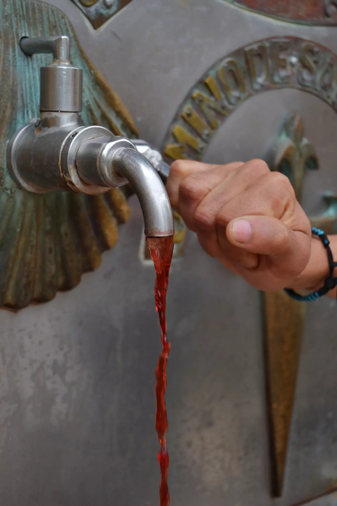
Countless fountains dispense drinking water to pilgrims, and bars and cafes will usually be happy to refill your bottle.
Pack a buff. They protect your neck from sunburn, keep your cap on your head in wind, and keep dust out of your nose and mouth.
Aficionados claim that booking your accommodation in advance is “not the pilgrim way” – observe the maxim that “The Way will provide”. Others counter that booking a bed in advance, and taking time to enjoy the hike, is more in line with “the pilgrim way."
Not pre-booking does condemn you to race to albergues for the 2pm check-in time to secure a room. While not all albergues accept bookings, every town and village has alternatives.
Failing that, a march to the next village will usually secure you a bed. Some pilgrims carry a sleeping mat or hammock so that they can sleep out en el santo suelo (“on sacred ground”). While the Camino isn't well-served by campsites, you can ask around and find a patch of land (give a small donation) for your sleeping mat/hammock.
Albergues: Pilgrim hostels, usually dorms, some with private rooms. Some dorms are segregated into male and female, but more commonly, they're mixed.
Pensiónes and hostales: Basic, cost-effective (and surprisingly appealing) guesthouses.
Hoteles: Spanning everything from simple, family-run inns to boutique, luxury spots.
Casas Rurales: Rural homes with rustic rooms ranging from simple to chic.
Paradores: State-run hotels, often in stunning historic buildings. Surprisingly well-priced.
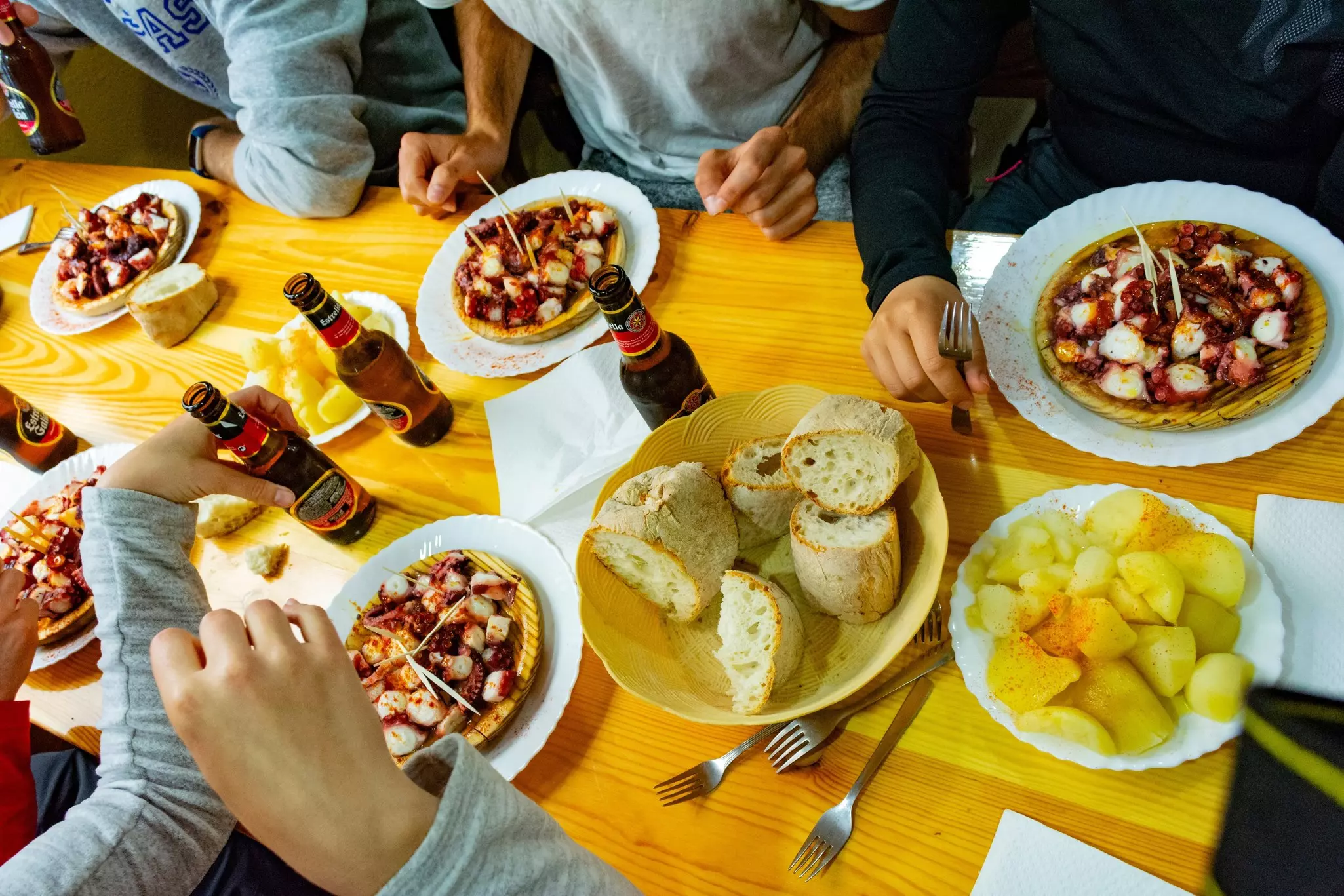
The good news is that walking four to six hours a day costs nothing. However, you can't expect to maintain that pace for a month without ample sustenance and comfortable beds. If you’re sleeping in dorms and self-catering in albergue kitchens, you can get by on around €25 per day. If you want to try local cuisine (a big part of the Camino experience), a more realistic figure is €40 per day.
These are the average daily costs you can expect.
Bunk in an albergue: €10
Breakfast: €4
Café con leche: €1.20
Menú del día: €13
Laundry: €7
Vino and tapas: €4.80
Total per day: €40
Many bars offer three-course menús del día for around €13.
If you team up with other pilgrims, you can often get triple or twin rooms for the same price as bunks.
If money is seriously tight, get your pack shuttled ahead (around €6 per stage) and then increase your daily distances. In this way, you save on your time on the route, and thereby reduce your accommodation and food bills.
This article was adapted from Lonely Planet’s Journey Camino de Santiago: the Camino Francés guidebook, published in October 2025.
Take your Spain trip with Lonely Planet Journeys
Time to book that trip to Spain
Lonely Planet Journeys takes you there with fully customizable trips to top destinations – all crafted by our local experts.


Explore related stories