Jul 13, 20267 min read
How to get around in FranceJun 16, 2023
5 MIN READ
Writer
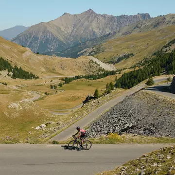
It’s possible to “bag” several of the Auvergne’s puys (volcanic cones) in a single day © Anna Richards

Writer
Lonely Planet may earn a commission from affiliate links on our site. All recommendations and reviews reflect our own independent opinions.
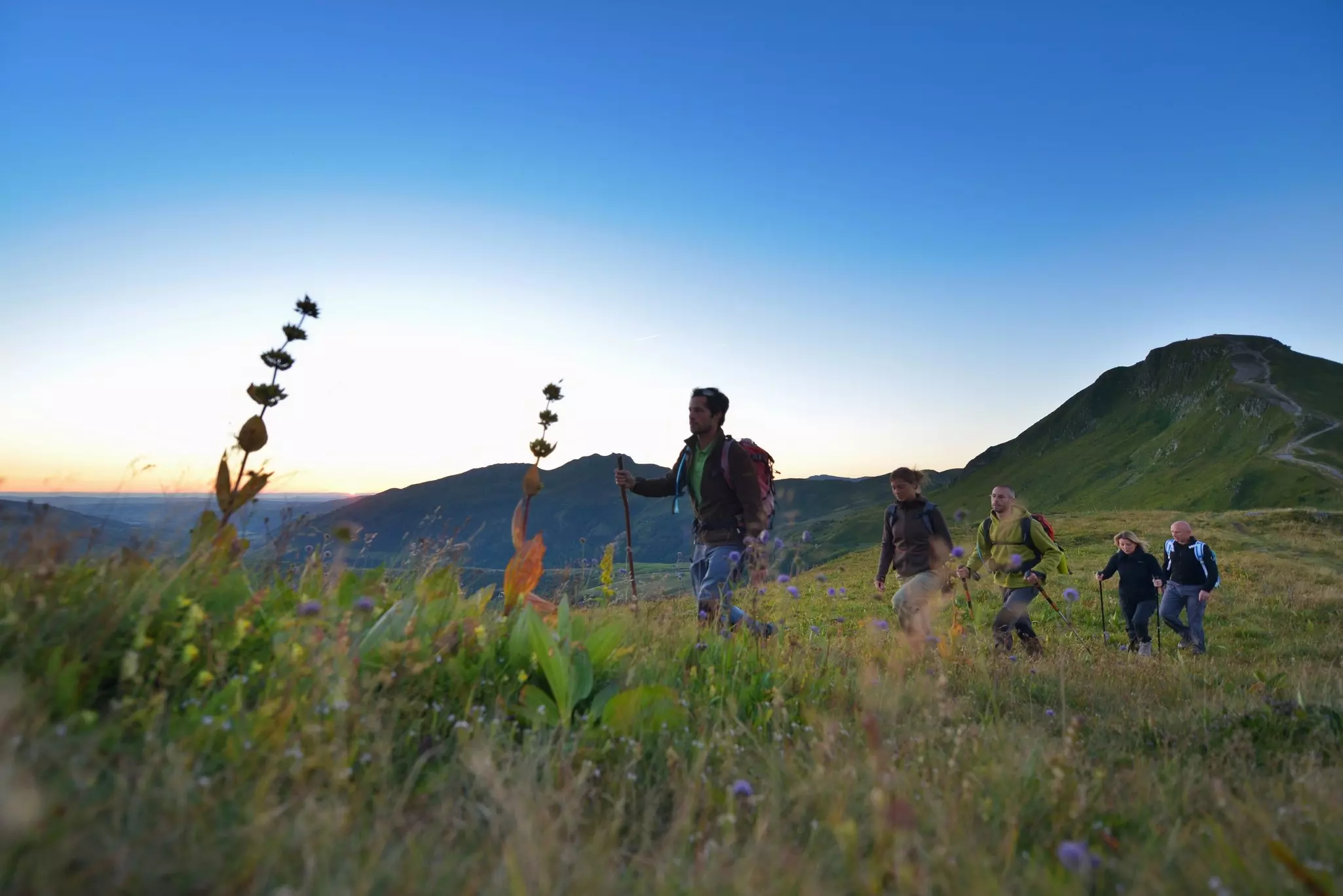
Our slow travel series explores how you can take more mindful journeys by train, boat, bus, bike or hike – with tips on how to reach your destination, and what to see and do along the way. In the latest installment, Anna Richards shows you a French summer hiking alternative to the Alps.
Embarking on the quest of scaling the volcanic peaks known as puys in the Auvergne region, I challenged myself to conquer as many of them as I could. This pursuit, often referred to as puy-bagging, shares similarities with the beloved Scottish tradition of munro-bagging, where hikers strive to conquer numerous peaks. With a total of 80 puys scattered across the Auvergne region, how many of these summits could I conquer in a single endeavor while savoring the experience at a gentle pace?
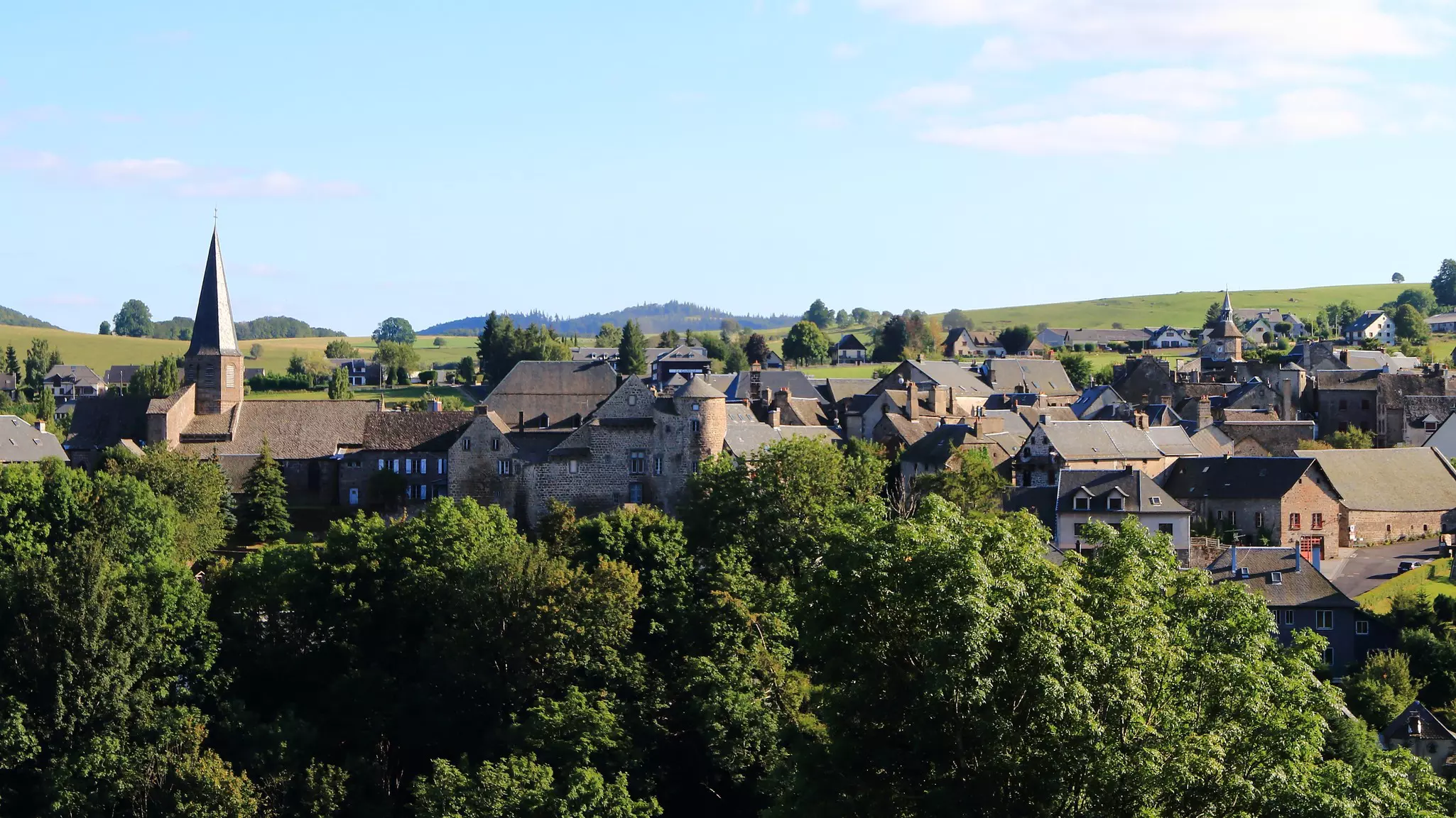
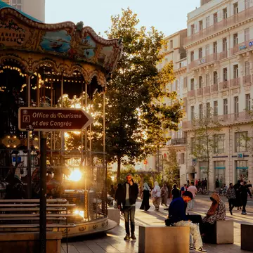
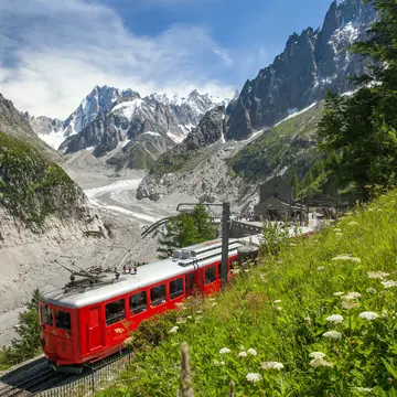
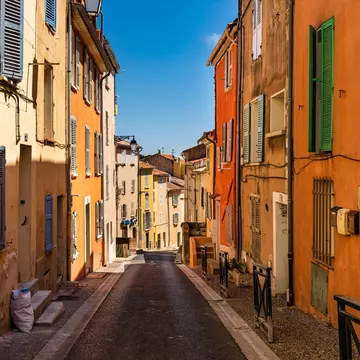
Every year, some 20, 000 hikers lace up their boots to tackle the 166km (103-mile) Tour du Mont Blanc; Chamonix alone can have up to 100, 000 visitors a day in peak season. And while I understand the allure of alpine peaks, regularly hiking them myself, sometimes the traffic on the trails makes me wonder if a walk around the city center in my hometown, Lyon, would be more peaceful. Finding quiet hiking trails there is still possible – yet for virgin landscapes that are truly off the beaten track, the Auvergne may be the best hiking region in France you’ve overlooked.
Crowned by a curious antenna, Puy de Dôme in Parc Naturel Régional des Volcans d’Auvergne is, at a mere 11, 000 years old, one of the youngest puys in the 45km (28-mile) region. It’s one of the 80 extinct volcanic cones that form the La Chaîne des Puys. At 1465m (4806ft) high, Puy de Dôme is admittedly no Mont Blanc – though it is taller than Ben Nevis. And similarly to hiking in Scotland, such altitudes allow you to “bag” multiple puys in a day.
Since you need to travel from peak to peak by car, and since I’m ever mindful of my carbon footprint, I limited my sights the closest ones with the shortest drives. A three-hour hike from the Panoramique des Dômes parking area takes you to the research station at the summit of Puy de Dôme and panoramic views over the city of Clermont-Ferrand. (If you’re not up for the hike, a cog railway can take care of the ascent for you.)
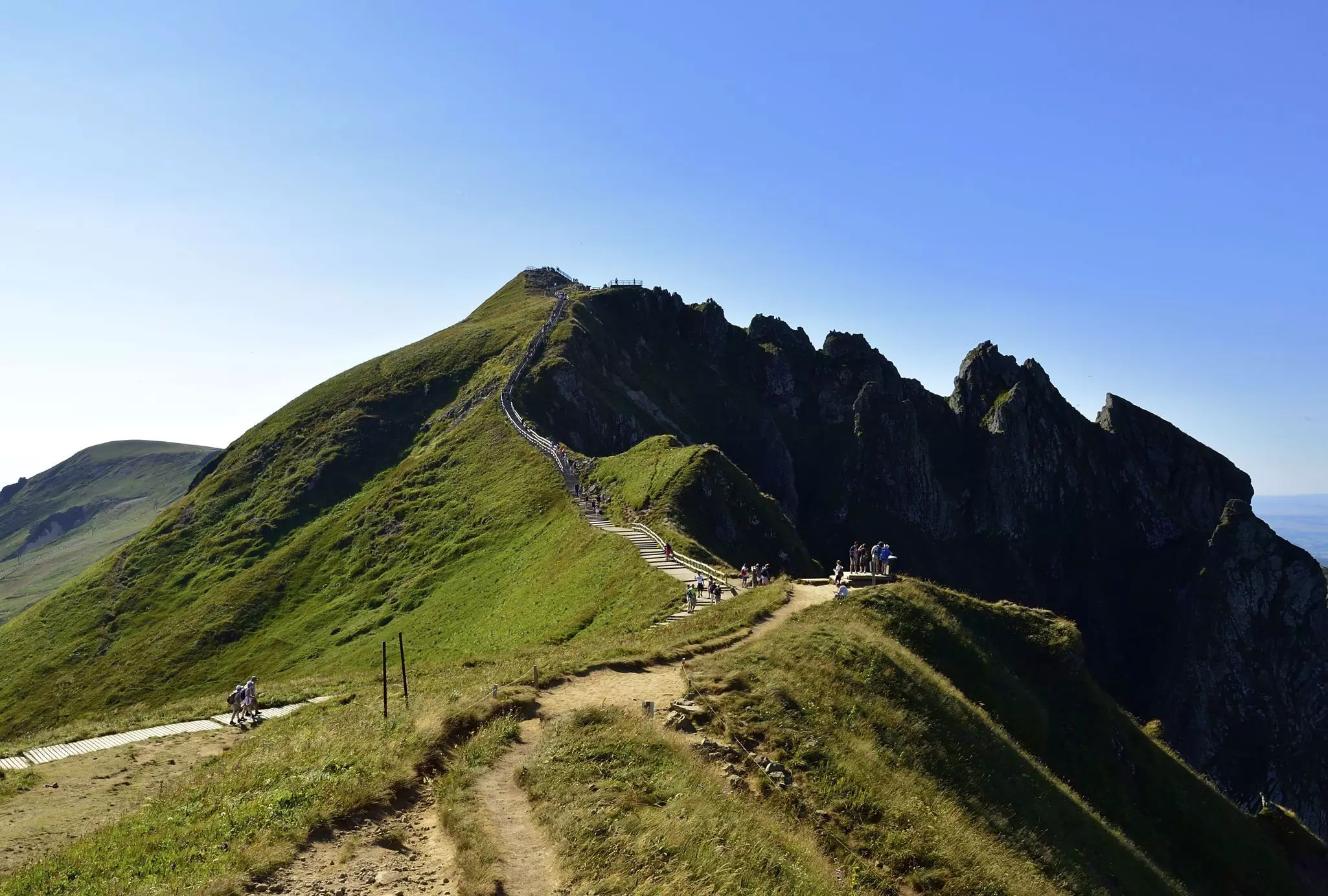
My next stop, Puy de Sancy, is the highest peak in the Auvergne at 1885m (6185ft). In the height of summer, its relative accessibility might make it the busiest hiking route in the region. The Sancy chairlift runs year-round; from here, it's a short walk of 15 minutes or so on wooden boardwalks and steps to reach the summit. Despite this, it only attracts around 500, 000 visitors during the whole year – the same number as descend upon Chamonix in under a single week.
Skip the chairlift if you can: the three-hour loop walk between the base and Puy de Sancy is exceptionally scenic and varied. A steep climb for the first half follows the ski slopes, past khaki- and mud-colored pistes punctuated with waterfalls. The way back to base is much more scrambly; a well-marked footpath cuts through the middle of obstructing rock pillars rather than around them, requiring using your hands at certain stages. As you round the crest of the trail, civilization is entirely out of sight for most of the descent.
It’s a drive of two hours to reach the final puy on my itinerary: Puy Mary, with a height of 1783m (5850ft) and, from what I’ve heard, the most dramatic views of the lot. I follow the Cheese Route, a cleverly branded itinerary designed to promote rural tourism and encourage people to visit remote dairy farms. (Sadly, post-COVID, most farms require you to make an advance appointment to taste their produce.) The views along the route are spectacular. I pass russet-colored cattle – and I’m again reminded of Scotland’s Highland cows – and hills that merge into each other as though they’d been drawn faintly on tracing paper. The heavy clouds are so purple and grey that they look like the sky had a punch-up with the puys – and came off worse.
Alas, I’m not fortunate with the weather this time; clouds descend around me. Although it’s late May, I even see a few flakes of snow. Puy Mary, which in photos I’ve seen is the shape of one of the conical hats a clown would wear to a children’s party, is today fuzzy around the edges. Thanks to the lack of views, I opt for the shortest route, under an hour, parking at Pas de Peyrol.
The trail is entirely empty. What captures my attention as I descend is a stone buron: like bothies in Scotland, these former shepherd’s huts now often serve as mountain refuges, with communal kitchens, basic facilities and dorms. This buron, the Refuge d’Eylac, can sleep 14, with space for camping outside. Shrouded in mist, it looks like something out of The Woman in Black.
Three puys bagged – with 77 more waiting for a future adventure. It may not have been prime puy-bagging weather, but that meant I was able to count the number of fellow hikers I encountered on my fingers.
Visorando has downloadable GPS traces for most of the puys. For multiday hikers, the 115km (71-mile) GR441 forms a loop trail from near Volvic in Puy de Dôme, typically taking three to four days to complete. There are many great hotels and lodges in the region which average about €80 per night.
Take your France trip with Lonely Planet Journeys
Time to book that trip to France
Lonely Planet Journeys takes you there with fully customizable trips to top destinations – all crafted by our local experts.


Explore related stories