Sep 20, 202612 min read
Guide to Monteverde’s Cloud Forest, Costa RicaAug 18, 2026
11 MIN READ

Writer
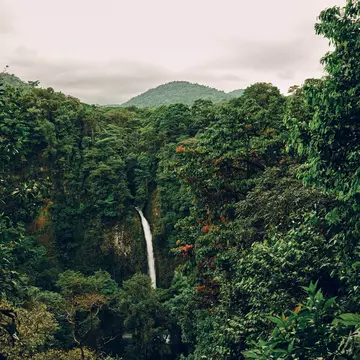
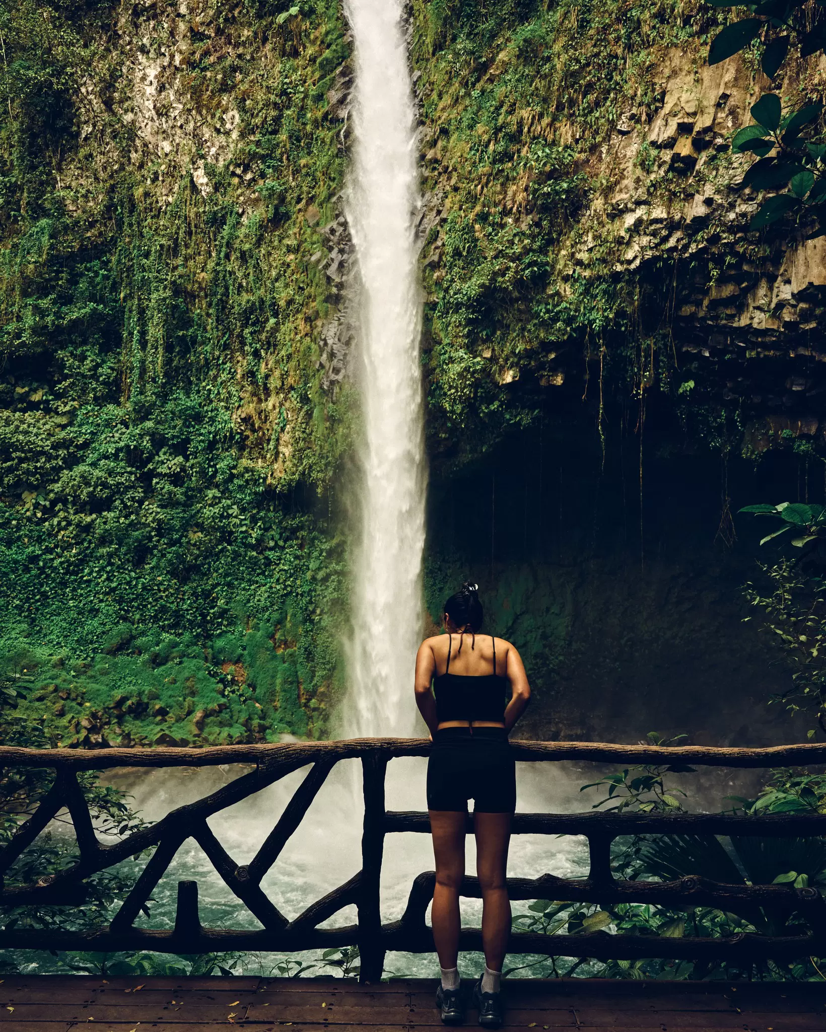
La Fortuna Waterfall, Costa Rica. David Cabrera for Lonely Planet
Writer
Lonely Planet may earn a commission from affiliate links on our site. All recommendations and reviews reflect our own independent opinions.
With its richness of natural landscapes and fabulous biodiversity, Costa Rica is a natural adventure playground for hikers. Trails weave through coastal rainforests to isolated beaches, and soar inland to the summits of volcanoes and challenging mountain peaks. On the way, you'll dip into Costa Rica's wildlife-thronged national parks and – if you're lucky – spot some of its remarkable wildlife, from sloths and toucans to jaguars and howler monkeys.
In fact, sometimes there’s no other way to reach that volcanic crater, swim in that pristine jungle waterfall, or spot those raucous macaws – except by using the power of your own two feet. Fortunately, you don’t have to be a hardcore trekker to experience Costa Rica's wild wonders, as there are trails to suit all skill levels. Routes are usually well-marked, and expert guides are on hand if you don't feel ready for the challenge of heading into the rainforest alone.
With Costa Rica's popularity and reputation as a safe haven for travel, the most popular hiking trails can get crowded during the high season, but there’s almost always a path less trodden somewhere nearby. If you want a walk with an added sense of adventure, here are the best hikes in Costa Rica.
Best hike for wildlife and pristine beaches
Distance: 10.4km one-way
Estimated time to complete: 2 hours
Level of difficulty: Easy
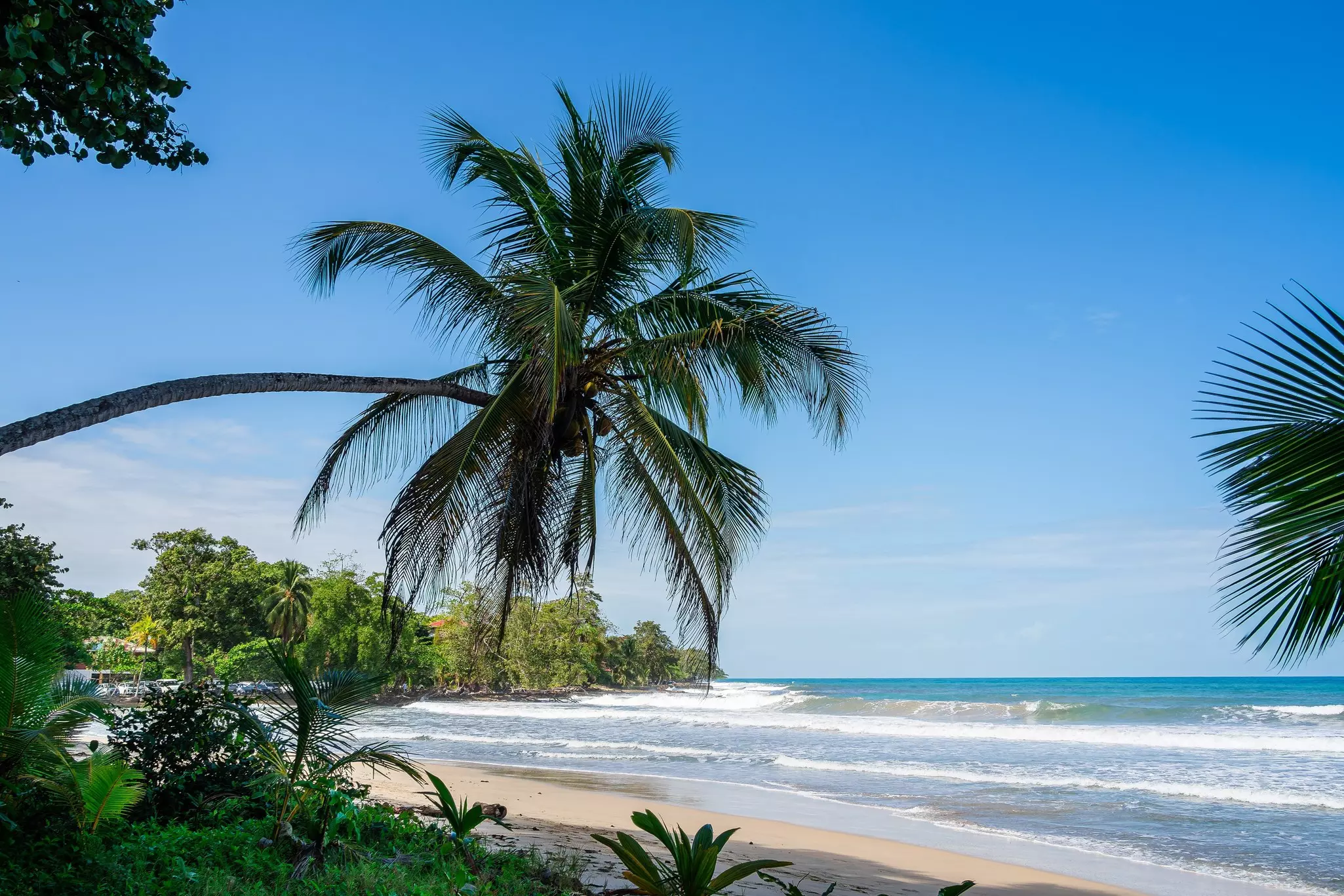
Outside the village of Cahuita, this verdant national park is a fantastic and popular hiking destination, with trails that meander through coastal rainforests and mangrove swamps. You'll trace the edge of pristine beaches and pass within earshot of some very vocal troops of howler monkeys.
There are two entrances to the park – one at Kelly Creek, near Cahuita, and one at Puerto Vargas, 3.5km down the road. An easy-to-follow hiking trail runs along the coastline, connecting the two entrances; most hikers opt to hike one way and catch a lift back to Cahuita in the other direction. Buses ply this route every 30 minutes, or you may be able to flag down a car for a lift.
The trail is flat and easy, with one river crossing (which can involve a thigh-deep wade at high tide) and two swimming beaches. The hike’s rewards are plenty, especially the abundant wildlife, which is remarkable for a trail that is so easy to access. Keep your eyes open for sloths, monkeys, coatis, snakes, iguanas, and myriad species of water birds.
Planning tip: At the Puerto Vargas entrance, there’s a 2km boardwalk – the Cavitas Trail – through forest and mangroves. This portion of the trail is wheelchair accessible, and a good option for kids.
Best adventurous hike
Distance: 5.5km
Estimated time to complete: 4 hours
Level of difficulty: Difficult
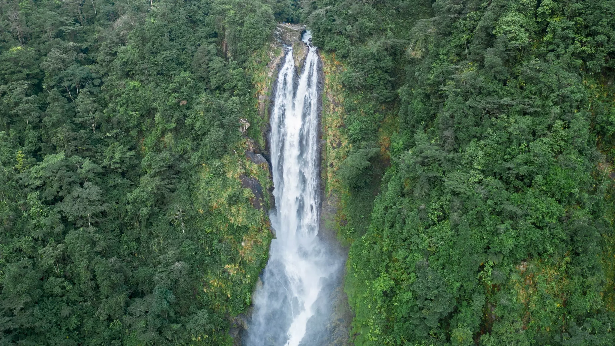
About 22km south of Siquirres, Parque Nacional Barbilla is not for the timid, as the hiking trail through the park is challenging and facilities along the way are almost nonexistent. But if you want to follow untrodden trails and learn about the indigenous Cabécar people, this hike offers big rewards. The route crosses humid lowland forests, alive with wildlife, and meets the rushing Río Danta, which tumbles over two magnificent waterfalls along the route.
Don't underestimate the hike. The trail is muddy, steep and challenging, with multiple river crossings. It also requires an Indigenous guide, and their insights on the Barbilla area and Cabécar culture are likely to be a highlight. Contact the Barbilla ranger station (tel: 506-2200-5224) in advance to make arrangements for a guide.
Planning tip: Parque Nacional Barbilla is one segment of a newly developed long-distance hike known as the Camino de Costa Rica. Intended to promote responsible tourism to less-visited areas, this epic coast-to-coast journey traverses the country for 280km, following rural roads and connecting small villages and Indigenous communities. Lodging is available at simple guesthouses and with local families along the route, which is split into 16 stages.
Best multi-day trek
Distance: 25km one-way
Estimated time to complete: 2 days
Level of difficulty: Moderate to difficult
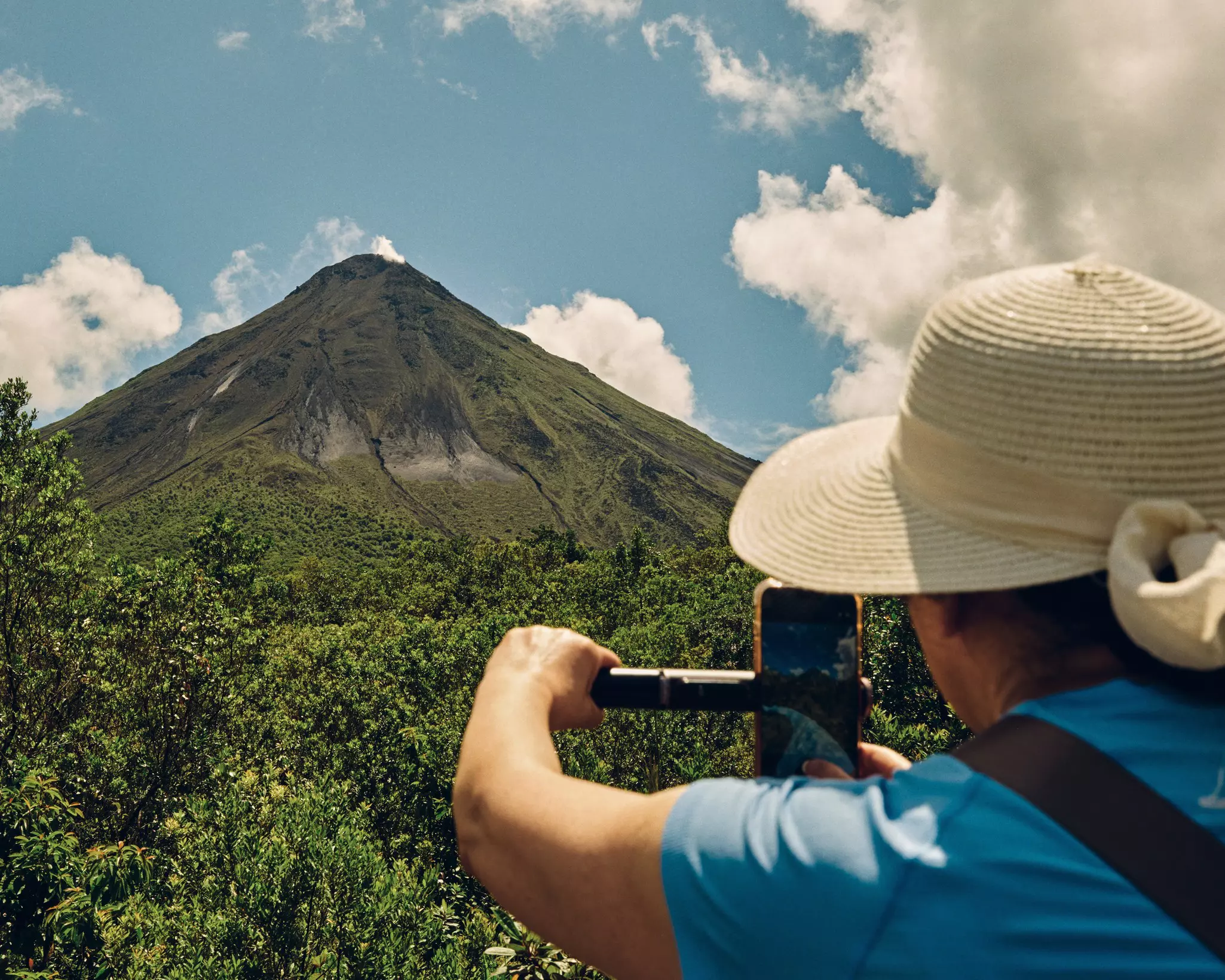
Plenty of travelers make the journey from La Fortuna to Monteverde by car, bus, or via a time-efficient taxi-boat-taxi package, but fewer visitors take the most direct route through Parque Nacional Volcán Arenal, which can only be followed on foot. Red Lava Tours is one operator who can guide you along this challenging and rewarding trail, which traverses the lush valley of the Río Caño Negro, then climbs into the mountains of the Cordillera de Tilarán.
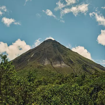
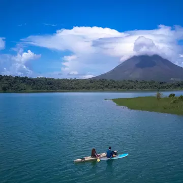
The trail is very steep at times, with 1000m of elevation gain, but the scenery is spectacular, with forested mountains all around. The highlight, of course, is a view of fiery Volcán Arenal, with its namesake lake in the foreground. Arenal is best observed from a safe distance – an exclusion zone surrounds the summit of this active volcano.
Planning tip: Walks along the trails through Parque Nacional Volcán Arenal can last just a few hours, but it takes 2 days to cover the full route to Monteverde, with an overnight stop in a mountain cabin.
Best for unique geographical features
Distance: 5km round-trip
Estimated time to complete: 2 hours
Level of difficulty: Moderate
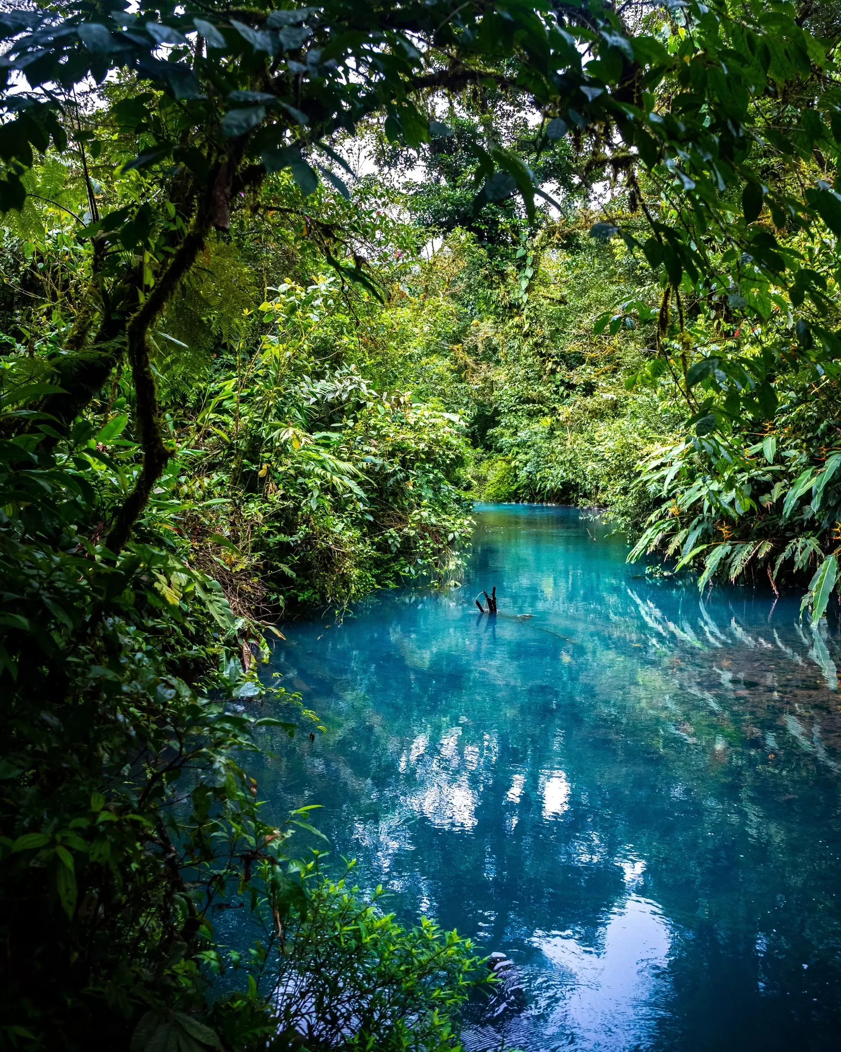
Although this national park is named for the inactive volcano at its heart, it is best known for the heavenly blue waters of the Río Celeste. This is one of several rivers in northwest Costa Rica that have particles of volcanic minerals suspended in the water, creating a gorgeous milky blue tone.
The main hiking trail in the Parque Nacional Volcán Tenorio tracks sections of this true blue river, including, most famously, the stunning 30m-high Río Celeste Waterfall. Further along, there’s a beautiful blue lagoon, as well as the teñidores, where two rivers meet, and the water turns blue. It’s a relatively short hike, but worth it for this pretty spectacular – and unusual – display by Mother Nature.
The first part of the hike up to the waterfall is an easy amble on a partially paved trail. Beyond the waterfall, the trail gets more rugged, and it’s often slippery with mud, so you'll want grippy footwear.
Planning tip: Note that heavy rain can affect the color of the river, so it’s worth checking the weather conditions before making the hike. Visit the national park’s official Facebook page or ask your lodging to call the ranger station for an update.
Best urban hike
Distance: 2km one-way
Estimated time to complete: 1 hour
Level of difficulty: Easy
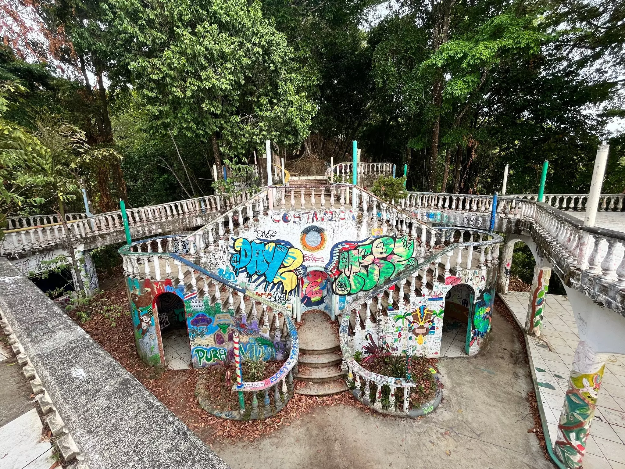
Need a break from the beach and jungle? This unique hike is a fun way to while away a few hours when you’re in the town of Jacó on Costa Rica's Pacific Coast. A short and well-marked trail leads from the main street in town up to a never-completed hotel (or mansion, depending on who you ask) on the ridge, affording lovely views over the coast.
About halfway up the trail, a wide balcony provides an impressive vista of Playa Jacó. You might be tempted to linger (and you should, for a while), but be sure to continue up to the hotel itself – an elaborate construction, adorned with pillars and balustrades. The exterior has become a canvas for colorful graffiti and oversized murals.
Take a wander and speculate about what happened to this place. The best reward is the spectacular panorama, which is particularly lovely at sunset. Just be careful on the way down, as there are no lights on the trail.
Planning tip: If you have the time and energy, it is possible to continue south on a trail that ends at Playa Hermosa, a scenic black-sand beach a few kilometers south of Jacó, where you can arrange transport back to town.
Best waterfall hike
Distance: 12km round-trip
Estimated time to complete: 3 hours
Level of difficulty: Moderate
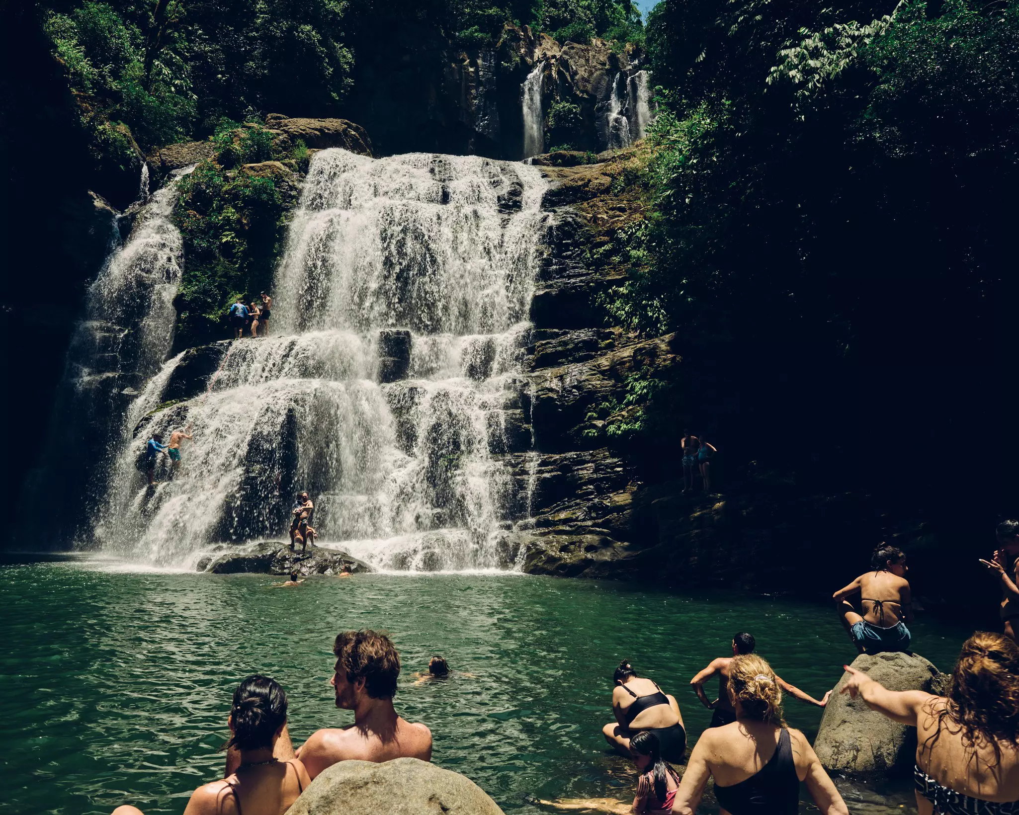
Costa Rica has no shortage of waterfalls – and even more hiking trails – but they don’t always come together as perfectly as they do at Cataratas Nauyaca (Nauyaca Waterfalls). About 10km inland from Dominical on the central Pacific Coast, the trail follows the scenic Río Barú through dense rainforest, where you’re likely to spot rainforest birds and spider and capuchin monkeys.
This easily achievable hike follows a wide dirt path (also used by horseback riding tours) that is fairly easy to navigate without a guide, though tour operators offer guided trips. That said, the trail is steep in some places, and the rocks near the falls can be slippery, so watch your footing.
At the end of the hike, the two-tiered Nauyaca Waterfalls are magnificent indeed, stretching across an 80m-wide canyon. The lower falls drop into a gorgeous, 6m-deep, turquoise-blue swimming hole – the perfect place for you to cool off after your hike, with rocks for lounging and cliffs for jumping.
Planning tip: You can view the falls in their entirety from the pool at their base, but it’s worth climbing to the upper falls for a closer view of the stunning 43m-high cascade.
Best mountain climbing expedition
Distance: 40km round-trip
Estimated time to complete: 2 days
Level of difficulty: Difficult
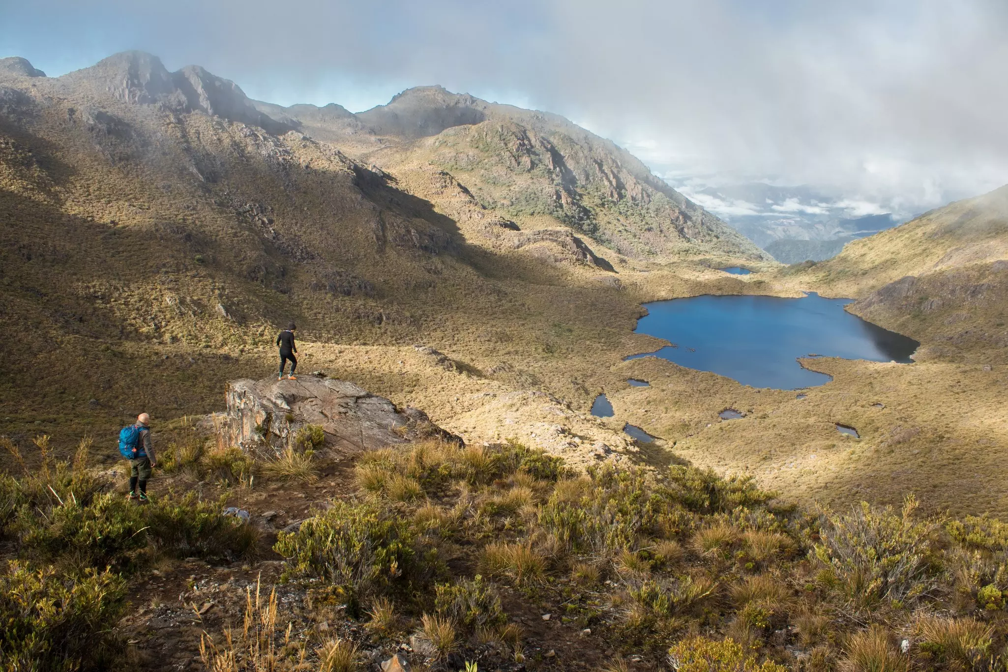
At 3820m, Cerro Chirripó is the country’s highest mountain, a craggy, rocky peak surrounded by scrubby trees and páramo – the grassy terrain above the treeline. The hike to the summit offers views of both the Caribbean and the Pacific in one 360-degree sweep. This is on a clear day, of course – the views are definitely not guaranteed.
The hike to the summit is a mostly straight shot that reasonably fit and experienced hikers can follow without a guide. However, it does require a permit, which you need to secure well in advance via the website of SINAC, Costa Rica's official park registration organization.
The ascent is steep, gaining some 2600m in elevation from the trailhead at the village of San Gerardo de Rivas. Landmarks have names like Cuesta de los Arrepentidos (Hill of the Repentants) and Monte Sin Fe (Mountain Without Faith), so that should give you an idea of the level of difficulty.
However, overall, the trail is well-maintained and easy to follow, though sections are quite rocky and often muddy. You'll start in dense cloud forest, then pass through groves of more stunted trees at higher altitudes, with gorgeous mountain views all around.
Most hikers tackled the ascent over 2 days. On the second day, you'll start very early to reach the summit in time to see the sunrise. Most hikers complete their descent on the second day, but you can also stick around to explore many miles of trails in the vicinity. Either way, reaching the summit is a gut-busting, heart-wrenching, awe-inspiring experience that’s bound to be a highlight of your trip.
Planning tip: Normally, the first day of hiking ends after 14.5km at Crestones Base Camp, where hikers spend the night. Space is limited, and reservations are required; see the Chirripó website for details.
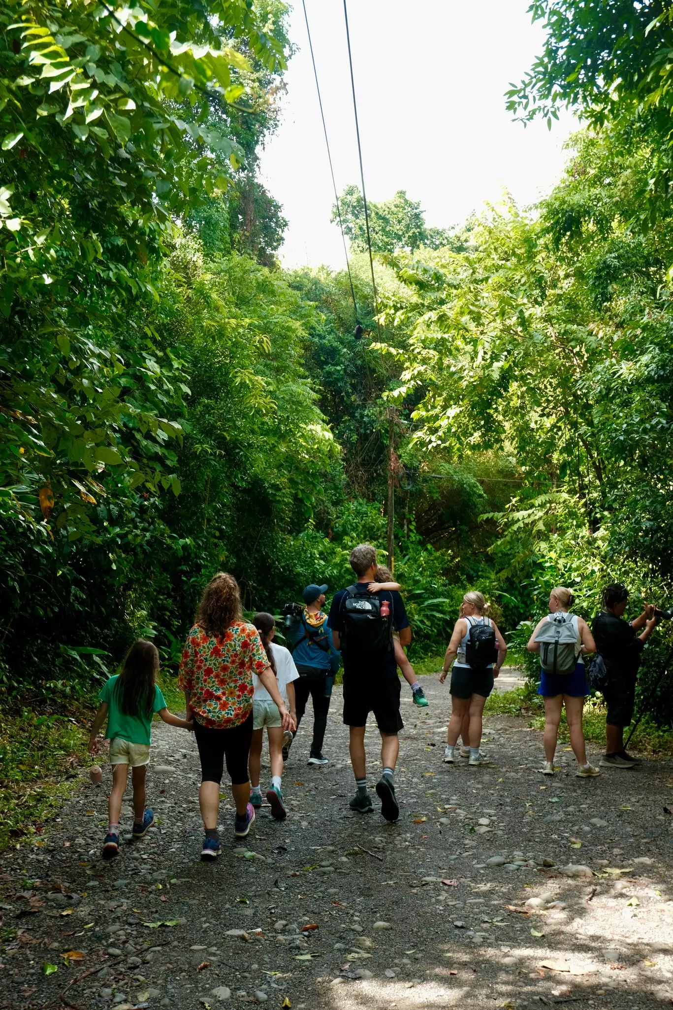
While hiking in Costa Rica is usually straightforward, thanks to good infrastructure, easy-to-find guides and well-maintained trails, here are a few tips to ensure a problem-free hike.
Most hiking trails in Costa Rica require sturdy footwear, such as hiking boots or trail shoes. For river crossings and waterfall hikes, you may want to bring along some hiking sandals or water shoes.
Beware of potentially dangerous wild animals on the trails, especially snakes. Keep a safe distance from the wildlife and never try to feed wild animals or lure them with food.
Shoes with closed toes are highly recommended for any forest hike to protect your feet and deter biting insects.
Carry mosquito repellent – the rain that keeps the rainforests green also creates pools of standing water where mosquitoes like to lay their eggs.
Always sign the guestbook at the ranger station in national parks (and other private reserves, if they have one), so rangers and staff know you are on the trails, and let someone know where you are going and when you plan to be back.
Carry all your trash out of national parks and private reserves, and pick up any trash you spot along the trails.
All the hikes listed here are well-marked and easy to follow, but for some of the tougher walks, a guide can be useful, and you'll need one to hike through Parque Nacional Barbilla.
It’s always a good idea to check the weather forecast and inquire about trail conditions before setting out on any unguided hike.
Book your Costa Rica trip with Lonely Planet Journeys
See Costa Rica how it's meant to be seen
Planned by local experts and tailored to you, Lonely Planet Journeys handles the logistics so you can just enjoy the trip. Tell us what you want and we'll build your Costa Rica itinerary from scratch, or browse our bookable trips to get inspired.


Explore related stories