
Advertisement
Southwest Iceland
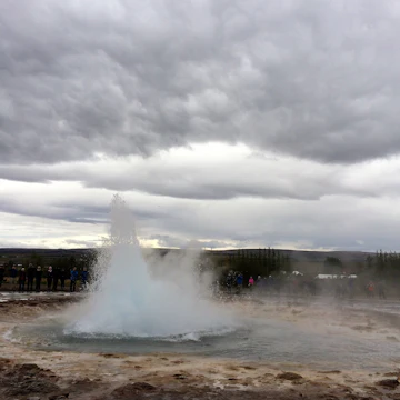
Black beaches stretch along the Atlantic, geysers spout from geothermal fields and waterfalls glide across escarpments while brooding volcanoes and glittering ice caps score the inland horizon. The beautiful Southwest has many of Iceland’s legendary natural wonders, so it's a relatively crowded and increasingly developed area. The Golden Circle – a tourist route comprising three famous sights: Þingvellir, Geysir and Gullfoss – draws the largest crowds outside of Reykjavík, but visit during off-hours or venture into the wilderness and you’ll find quiet hiking routes and otherworldly scenes.

Getty Images/PhotoAlto
Latest Stories
- Oliver Berry|Jan 31, 2020Driving Iceland's magic circle
Book

Trusted Partner
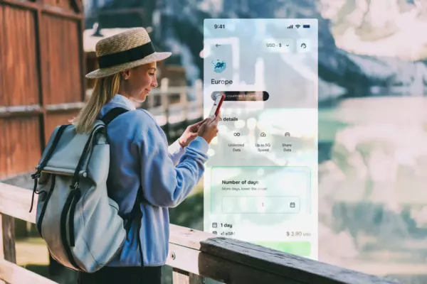
Stay connected in Southwest Iceland
Holafly eSIM provides unlimited mobile data with no hidden fees, giving you peace of mind wherever you travel. Stay connected even after your plan ends with Always On. Use code LONELYPLANET for an exclusive discount.
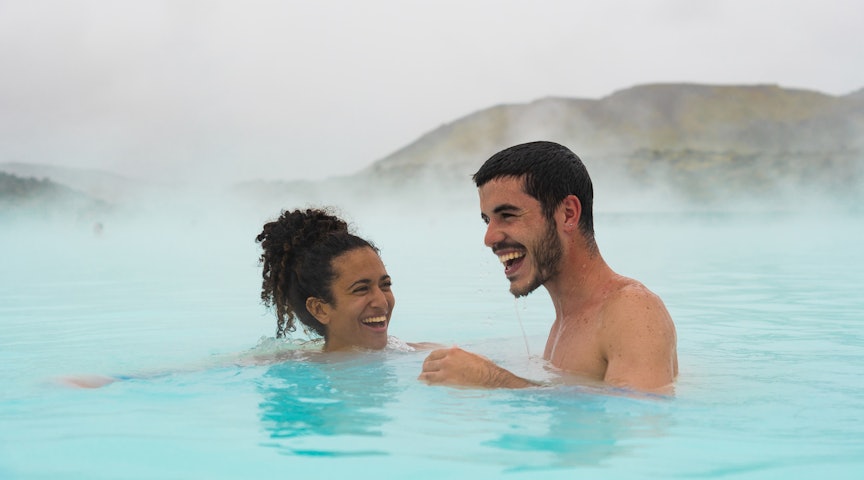
Take your Iceland trip with Lonely Planet Journeys
Time to book that trip to Iceland
Lonely Planet Journeys takes you there with fully customizable trips to top destinations – all crafted by our local experts.

Top places to visit in Southwest Iceland
Discover the best attractions in Southwest Iceland from must-see sights to unexpected hidden gems.
-
 Attraction in The Golden CircleTectonic Plates
 -
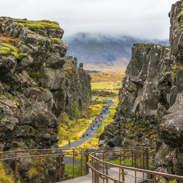 Attraction in The Golden CircleÞingvellir National Park
 -
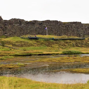 Attraction in The Golden CircleAlþingi Site
 -
-
-
-
- Attraction in Reykjanesfólkvangur ReserveKleifarvatn

Advertisement
Advertisement
Get a book. Get inspired. Get exploring.

in partnership with getyourguide
Book popular activities in Southwest Iceland
Southwest Iceland and beyond
-
 destinationThe Golden Circle
 -
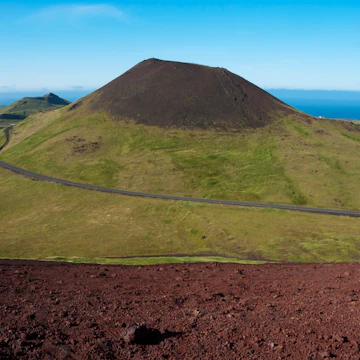
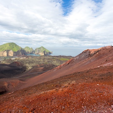 destinationHeimaey
 -
 destinationReykjanesfólkvangur Reserve
Advertisement