Jun 21, 20265 min read
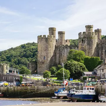
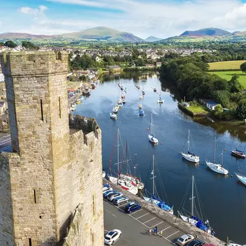
11 of the best beaches in WalesSep 27, 2023
7 MIN READ

Writer
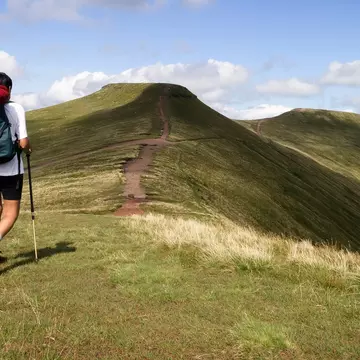
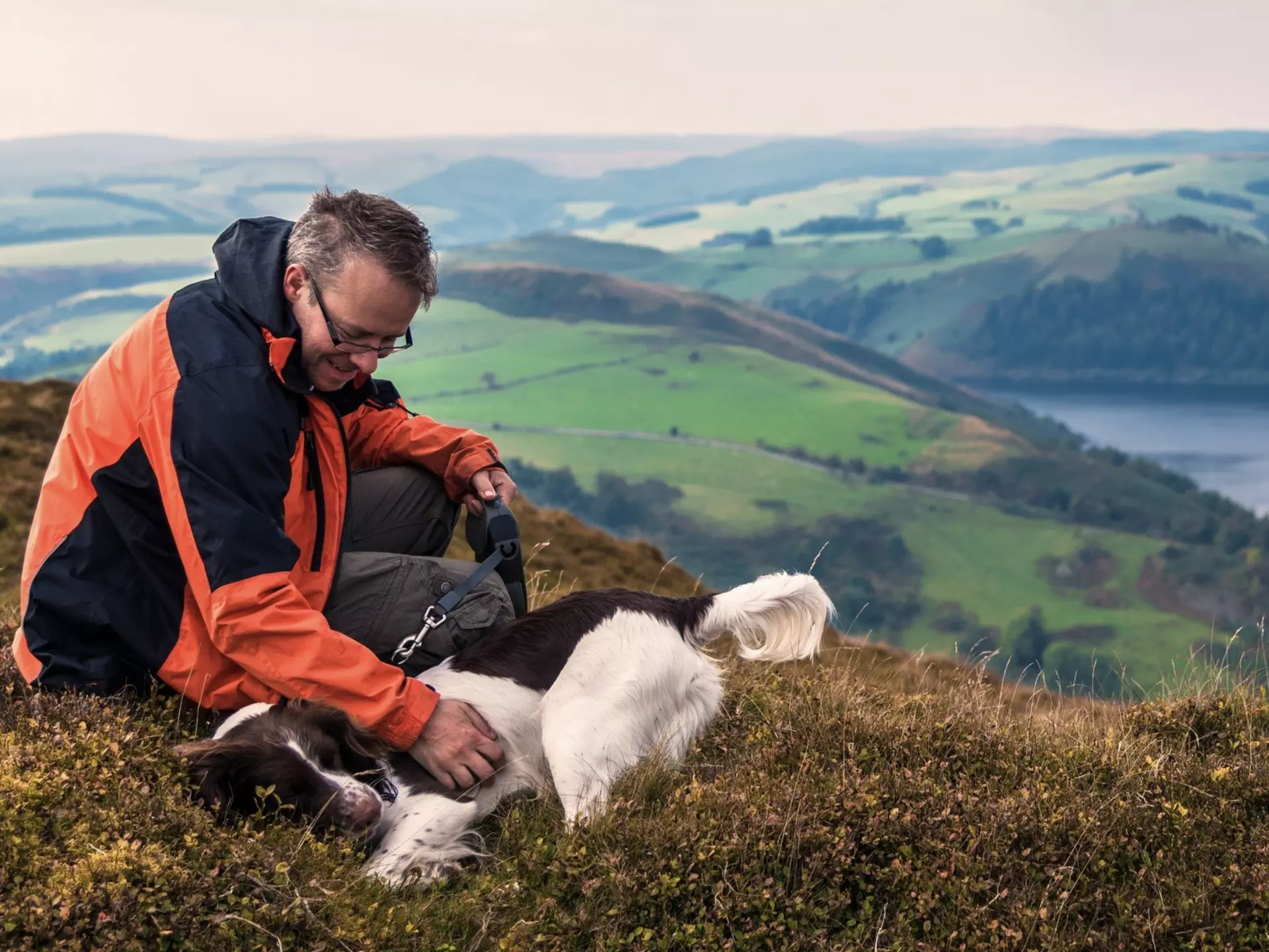
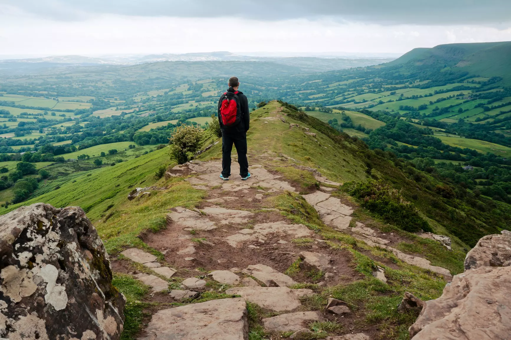
Along Glyndŵr’s Way, hikers can take in the Welsh countryside – and feel the spirit of legendary medieval leader Owain Glyndŵr © VWB photos / Getty Images
Writer
Lonely Planet may earn a commission from affiliate links on our site. All recommendations and reviews reflect our own independent opinions.
In this series, we take you step by step through how we planned some of the most complicated travel adventures. Here, writer Paul Stafford shares how he put together his long-distance Glyndŵr’s Way hike through the rural core of central Wales.
To those outside of Wales, Glyndŵr’s Way is as little known as the eponymous Welsh nationalist hero it’s named after. This multi-day traipse through some of the most sparsely populated places in Great Britain provides a wonderful introduction to the Welsh heartland’s natural beauty, local history and rural heritage.
Glyndŵr’s Way starts on the border of Wales and England, then weaves through 135 miles (217km) of the remotest reaches of Wales’ green, undulating heartland, almost reaching the sea before curling round and returning to the border further north at Welshpool. It’s as if the route were planned by a fugitive escaping capture by the crown’s forces – and a reminder of Owain Glyndŵr’s life and legacy, which was defined by his land’s complex entanglement with England, and the persistent threat posed by King Henry IV to Welsh sovereignty and tradition.
Although designed a National Trail – which brings excellent upkeep of such infrastructure as gates and signage – Glyndŵr’s Way is not a well-trodden route, and it’s possible to walk all day without seeing another soul. However, you’ll likely see plenty of red kites and buzzards wheeling overhead, among a variety of other birdlife, plus foxes, squirrels and rabbits. Here’s how to plan your trip.
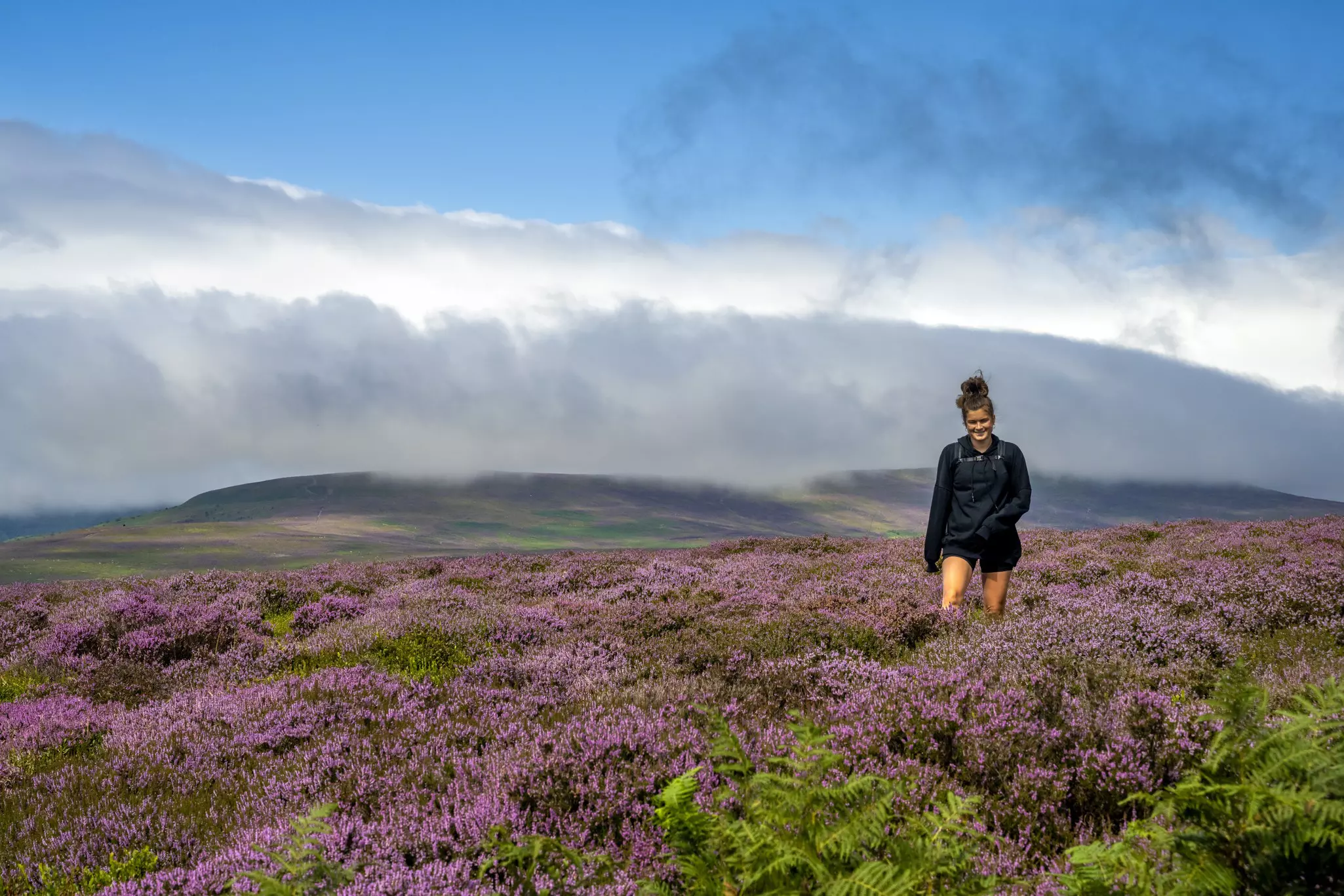
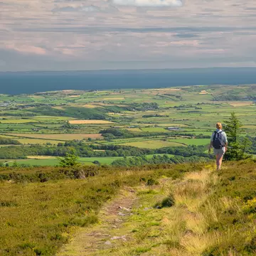
Each month of the year gives the landscape a fresh makeover.
Fells covered in shimmering mauve blankets of heather in August. Patchwork quilts of wildflowers in May. The fiery woodland mosaics of autumn, and droves of snow in the winter months. No matter when you choose to go, nature presents a variety of enthralling masks here.
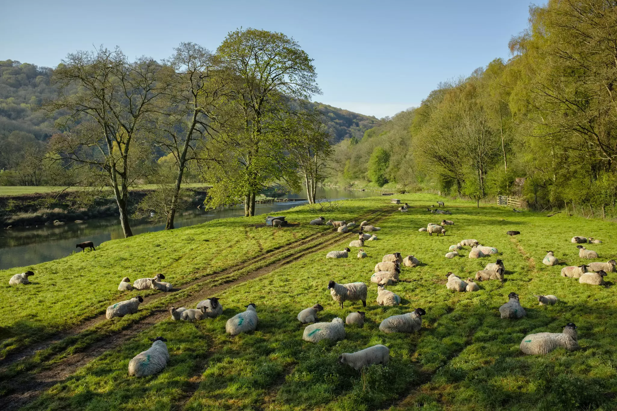
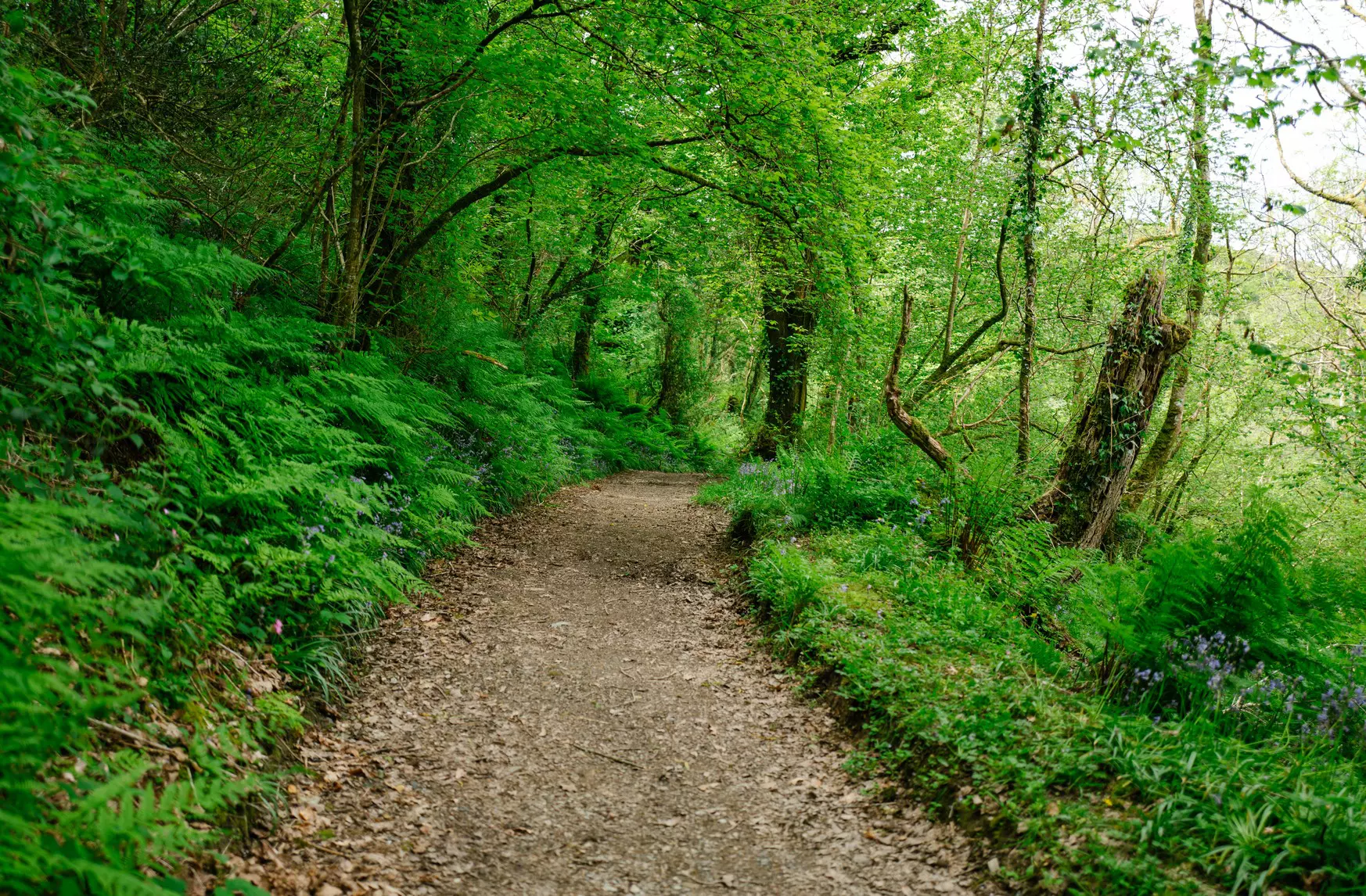
Glyndŵr’s Way passes through land that’s remote but never truly wild, mostly given over to fields of grazing sheep, and interspersed with clumps of woodland. Because Wales can get rather wet at any time of year, the best way to choose when to go is to think about how the landscape will be colored during different parts of the year. Early summer is often the driest time to visit, although rain is no stranger then.
If you plan to hike between late autumn and early spring, you might want to give yourself more time to complete the route, thanks to diminished daylight hours and spells of inclement, hiking-unfriendly weather.
Channel your inner Glyndŵr and set your own rules.
The official route suggestion is to start in Knighton and finish in Welshpool, although the signage is equally visible in either direction. For hikers in very good shape, it is possible to complete the full 135-mile (217km) route in nine days, for an average of 15 miles (24km) a day. (This feat is rendered tougher when the ground is wetter.) Because hiking in either direction is possible, some people break up their trip into two week-long sections. This is possible thanks to the good train links at both termini – Welshpool and Knighton – as well Machynlleth, which lies roughly at the trail’s midpoint.
Alternative itineraries for up to 21 days are ideal if you’re hoping to take more time and allow for rest days. Another alternative is to combine a few days on Glyndŵr’s Way with a few on the Offa’s Dyke Path, with which it connects at both Knighton and Welshpool.
Treat yourself to a warm bed and a hot shower at the end of each day.
While you want to plan a little leeway into your schedule in case you fall behind, it’s a good idea to book your accommodation as far in advance as possible. There are long stretches of the route that do not pass within many miles of a hotel or B&B. Since wild camping is not legal in Wales and you’ll spend much of your time traversing farmland that is regularly worked by local farmers, pitching a tent is inadvisable. You’ll find a few designated campsites, although these often come with a charge – at which point you might as well ditch the extra weight a tent adds and embrace the luxury of a hot shower and a soft bed at the end of a long day of hiking.
Find the right gear and supplies for the adventure.
The hills of mid-Wales are a magnet for clouds and their attendant rain. And while no high-altitude climbs lie along this route, much of the path works through occasionally uneven, exposed or boggy terrain. A lightweight waterproof jacket, trousers and even gaiters are recommended. With the constant undulation, you’ll also likely be adding and removing layers regularly, so consider a pack that’s easy to get on and off. Sturdy waterproof walking boots are the only advisable footwear.
Streams mostly wash through sheep fields, making drinking from them unwise. It’s possible to walk for eight hours without finding a place to refill your water bottle, so make sure you bring enough water with you for a full day. The same principle goes for food, toilet paper and battery power for your gadgets.
Avoid these common navigational pitfalls on Glyndŵr’s Way.
Although the trail is well signposted, the moment you start to tire, or if the weather worsens and you have no choice but to trudge on, it becomes increasingly easy to miss a sign and take a wrong turn. Particularly in fields at higher elevation and up on the moors, numerous subsidiary tracks created by sheep or landowners head in different directions, which occasionally makes navigation challenging.
A good map and compass comprise crucial components of any successful hike of Glyndŵr’s Way, and are useful for finding your way back to the trail if you do stray off piste. OS Maps are useful, too (although you’d need five different ones to cover the full route). A good, compact guide is Walking Glyndŵr’s Way by Paddy Dillon, published by Cicerone.
Landmarks of a prince; traces of a fugitive.
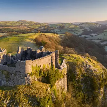
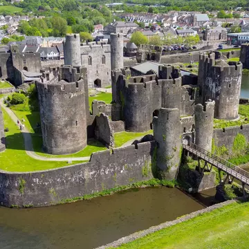
Owain Glyndŵr started life assisting the English in their campaigns against the Scots and overseas. By 1400, he was an outlaw in his own country, eventually defeating the English in a number of battles throughout the next decade. This meandering trail through Wales doesn’t touch on many key landmarks linked to the Welsh nationalist hero, such as Harlech Castle on the coast, but rather follows a more spiritual route along old droving roads that he may have used to evade the troops of King Henry IV.
Occasional whispers of his exploits crop up along the trail, such as at the ruins of Abbey Cwmhir (sacked by Glyndŵr’s troops) or in a valley where he won the Battle of Mynydd Hyddgen, both in 1401. Glyndŵr made Machynlleth the seat of his government after being crowned Prince of Wales in 1404. His Parliament House (or at least a replica of it) still stands proudly in the heart of town.
The majority of Glyndŵr’s history is an entanglement of legend and truth. As such, little is known about his final years, when he went underground following a series of defeats, such as the loss of Harlech to Henry IV’s army in 1410. Some say he became a monk or a shepherd, possibly keeping a low profile…in the very remote hills through which you’ll be hiking.
I’d allow more time for recovery, particularly early on in the hike. Unless you’re a hardened long-distance walker, nothing can prepare you for the grueling toll that dozens of miles beneath a heavy backpack, often in sub-optimal conditions, can take on the body – especially the feet. I have top-quality hiking boots, but their defenses were eventually overwhelmed by the water, and I spent most of each day hiking with wet feet.
Building the occasional rest day into your itinerary allows time for recuperation. In rainy times, it will also allow your things to dry out. Nothing is more daunting than pulling on a pair of damp, cold socks and hiking boots ahead of a 16-mile hike.
Take your Wales trip with Lonely Planet Journeys
Time to book that trip to Wales
Lonely Planet Journeys takes you there with fully customizable trips to top destinations – all crafted by our local experts.


Explore related stories