Jun 12, 202611 min read
The 15 best things to do in Colorado in the summer Jan 22, 2022
6 MIN READ

Writer
A view from Lost Lake Trail, a great hiking for families and beginners © Getty Images / iStockphoto

Writer
Lonely Planet may earn a commission from affiliate links on our site. All recommendations and reviews reflect our own independent opinions.
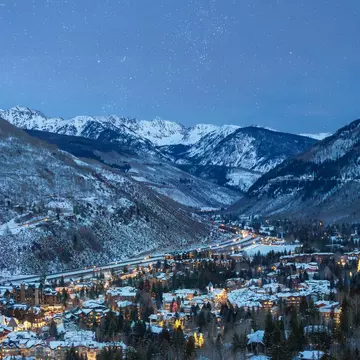
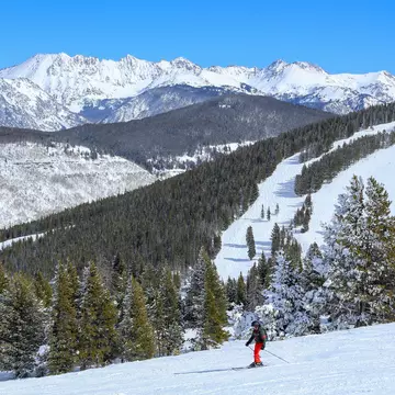
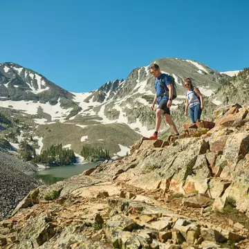
Though Vail is best known for its expertly groomed ski terrain and its snow-covered Bavarian-style alpine villages, this mountain town along Gore Creek in the Colorado Rockies is also home to some incredible hiking trails.
Vail’s hiking trails give travelers a chance to stretch their legs, breathe the fresh mountain air and reconnect with nature. Plus, the Vail Valley’s varied routes are a feast for the senses no matter the season. They’re dotted with colorful wildflower blooms in summer, golden yellow aspens in fall and glittering snow and icicles in winter. Below, some of our favorite hikes in the Vail Valley for every traveler.
9 miles (14.5 km) round trip, 5-6 hours, difficult
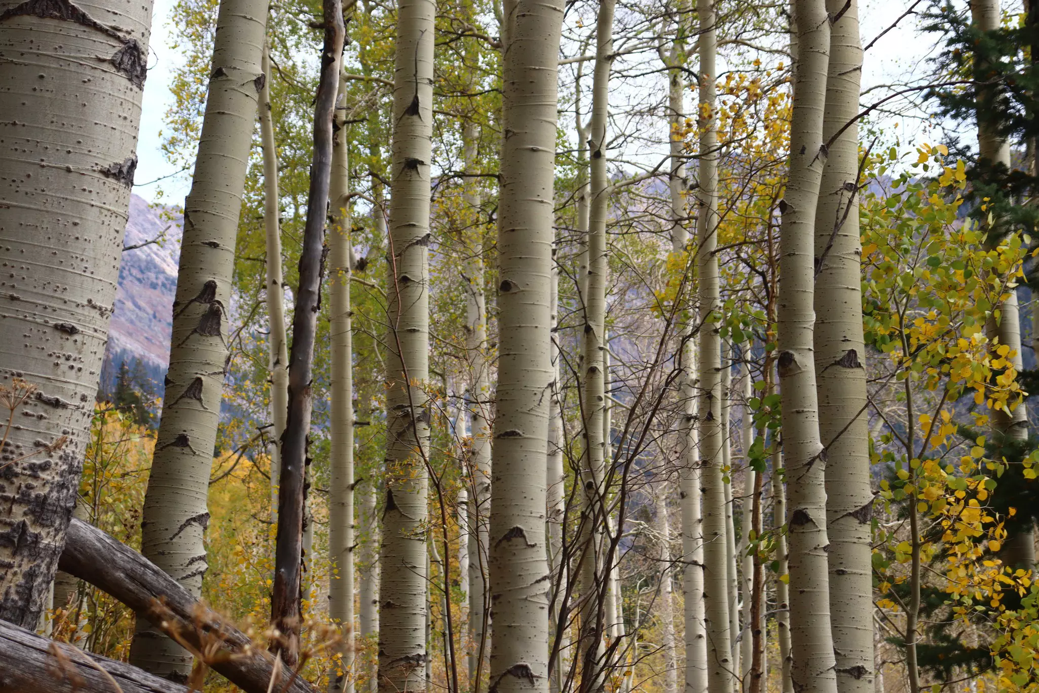
This popular out-and-back trail follows Booth Creek to Booth Lake, with a stop at the picturesque Booth Falls along the way. The trail begins just off I-70 in East Vail and climbs steeply for the first mile or so, then eases into a more gradual climb for the remainder of the hike. Meandering along Booth Creek, the route travels through aspen groves, conifer forests and meadows that are dotted with wildflowers in July and August.
The route reaches the waterfall about two miles in, then continues on for roughly three miles to Booth Lake, which is surrounded by the craggy gray peaks of the Gore Range. All told, the trail climbs more than 3000ft in elevation to 11,480ft, where there’s likely to be patches of snow and wildlife like mountain goats and marmots.
This is a challenging hike, particularly for travelers who are not yet acclimated to Vail’s altitude, so be sure to bring lots of water, take frequent breaks and invest in a pair of hiking poles (or grab a stick along the trail!) to help with navigating the steep sections.
12 miles (19 km) one way, variable, easy
This easy-going paved trail meanders along Gore Creek through Vail’s core village areas. It’s a popular, accessible path for walking, riding a bike, jogging, rollerblading, pushing a stroller and other leisurely activities, right in the heart of town.
Many people pick up the trail from behind their hotel, then walk to dinner, drinks or other activities in Vail Village or Lionshead Village. It’s a convenient connector path for getting around Vail or working up a sweat, all while soaking up the views of Vail’s idyllic European-inspired architecture and the tree-lined creek.
7.5 miles (12 km) round trip, 3-4 hours, easy
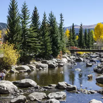
This mellow trail is great for beginners and families, thanks to its gradual climb and stunning scenery. The route has an east and a west trailhead, but most hikers start on the west side and work their way east toward Lost Lake. The road to the trailhead is unpaved and bumpy, so a 4x4 vehicle is helpful, but not totally necessary as long as you go slowly.
From the west, the trail passes through aspen groves and lodgepole pines along a ridgeline, then gradually gains 600ft of elevation before dropping down slightly to the lake. Stop for a picnic and views of the snow-dusted mountains reflected in the serene water, or keep hiking for less than a mile to the east trailhead and the end of the route. Lost Lake Trail is a great family hike or an introduction to backpacking for little ones, since it’s short and easy – camping is allowed as long as you set up your tent at least 200ft from the lake and the trail.
7 miles (11 km) round trip, 3-4 hours, difficult
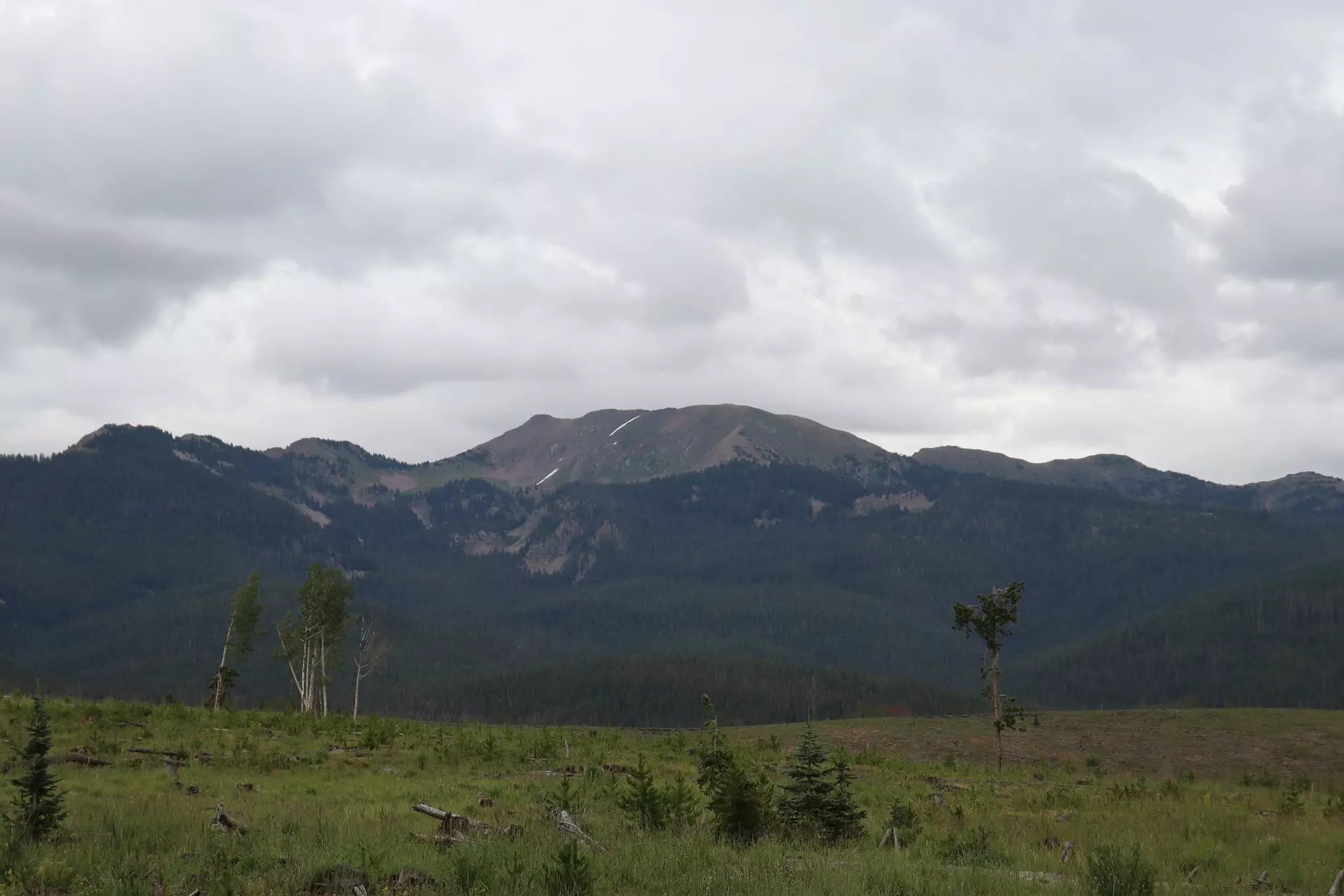
For spectacular views of the fall foliage, head to Bighorn Creek Trail, which is nestled among the golden yellow aspens and dark green fir and spruce trees of the Eagles Nest Wilderness area east of Vail. The route gains more than 2000ft of elevation, which makes it challenging, but it also offers lots of scenery to ogle as you huff and puff – you’ll pass beaver ponds, old mining buildings, Bighorn Creek and the Bighorn Falls waterfall.
The trail, which ends at a picturesque cabin, is dotted with wildflowers in summer and offers views of the Grand Traverse, an impressive 13,000ft tall ridge that’s part of the Gore Range. Hiking poles – and your camera – are a must for this route, which has some steep, slippery sections.
4 miles (6.4 km) round trip, 2-3 hours, easy/intermediate
For some of the best views in the region, lace up your hiking boots and hit the Shrine Ridge Trail. The route climbs gently through scenic pine trees before climbing sharply to a ridgeline. At the summit of Shrine Mountain, you’ll have 360-degree views that include Copper Mountain ski area, Mount of the Holy Cross, Uneva Peak, Ptarmigan Hill and Ptarmigan Pass, the Flat Top mountains and the Gore Range.
As you ascend to the top of the mountain, you’ll be following in the footsteps of the Ute Native Americans and silver miners who used this route throughout history. This is a short, sweet hike with a great payoff at the end, and it’s a great fit for families who want to stretch their legs or get acclimated.
6 miles (9.6 km) roundtrip, 3-4 hours, easy/intermediate
This popular out-and-back trail in the Eagles Nest Wilderness is a great way to get acclimated after arriving in Vail. The route starts at Piney Lake, then climbs gently through a meadow and some aspen groves before reaching a beautiful waterfall.
The road to the trailhead can be rough, so be prepared to go slowly or consider renting an SUV. It’s a high-traffic hiking trail, too, so this route may not be ideal if you were hoping for some alone time in nature; it’s also open to horseback riders.
6.4 miles (10 km) round trip, 3-4 hours, intermediate/difficult
After ski season ends and the snow finally melts, Vail Ski Resort opens for hiking, mountain biking, tubing and riding the mountain coaster. The Berry Picker Trail is a fun, intermediate hike that climbs 2200ft up the mountain, traversing across grassy open ski runs and through aspens and evergreen trees. Though the steep hike is a hard workout, the route is not overly technical – and fatigued hikers have the option of riding the Eagle Bahn Gondola back down during the summer.
At the top, there’s Bistro 14 Bar and Talon’s Deck Outdoor Grill for grabbing a drink or a bite to eat, plus activities for the whole family, including a zip line and a climbing wall.
You might also like:
Connect to nature, no matter the season in Vail
Vail is a melting pot of international cuisine
This luxury train lets you see the Rocky Mountains in a whole new way
Explore related stories