Jun 19, 20276 min read
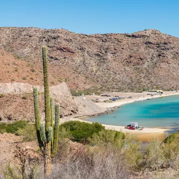
How to visit Chiang Mai on a budgetJan 10, 2020
2 MIN READ

Writer
LouieLea / Shutterstock
Writer
Lonely Planet may earn a commission from affiliate links on our site. All recommendations and reviews reflect our own independent opinions.
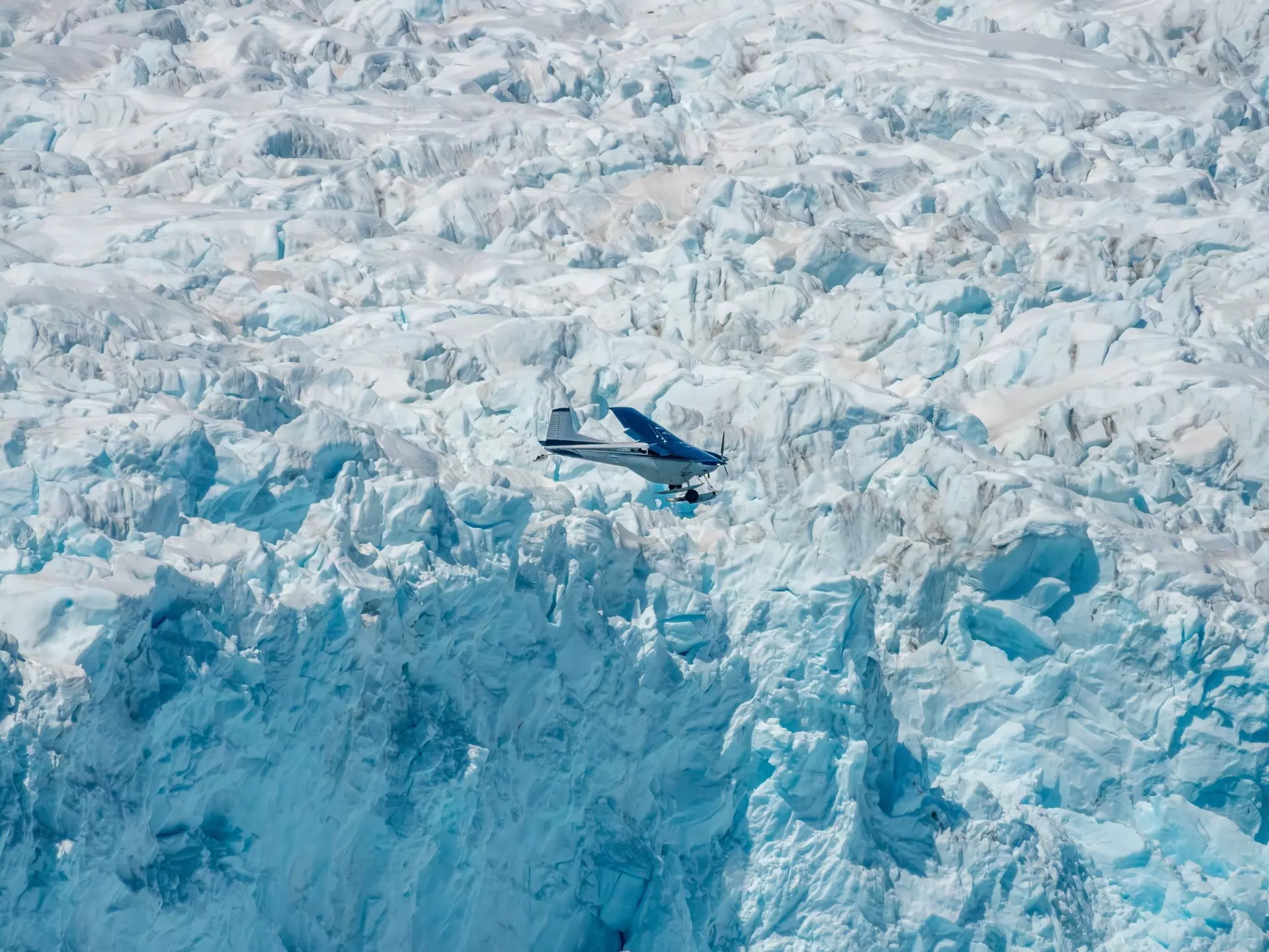
New time-lapse videos and images of Earth’s glaciers recorded from space have been released by NASA, providing key data on how dramatically the ice sheets and frozen regions on the planet are changing.
Starting with images from the 1972 Landsat mission through to 2019, the University of Alaska Fairbanks’ glaciologist Mark Fahnestock put together six-second time-lapses of every single glacier in the Yukon and Alaska. The footage acts as a clear representation of how the warming climate has affected the region’s glaciers, with some showing the formation of lakes where ice was in the past, while debris from landslides can also be moving towards the sea. According to NASA, the glaciers show patterns that give scientists clues about what drives changes.
“We now have this long, detailed record that allows us to look at what’s happened in Alaska,” Fahnestock said. “When you play these movies, you get a sense of how dynamic these systems are and how unsteady the ice flow is.”
In one outlined example, the Columbia Glacier proved to be relatively stable when the first Landsat satellite was launched, but from the mid 1980s on, the front began retreating rapidly. By 2019 it was 12. 4 miles upstream. The Hubbard Glacier also showed advances of three miles over a 48-year period, with the 2019 image showing a large chunk missing from the glacier.
“That calving embayment is the first sign of weakness from Hubbard Glacier in almost 50 years – it’s been advancing through the historical record. If such embayments persist in the coming years, it could be a sign that change could be coming to Hubbard. The satellite images also show that these types of calving embayments were present in the decade before Columbia retreated.”
Scientists also released time series images of Greenland and Antarctica using data from satellites such as the NASA-US Geological Survey Landsat missions, with those results also showing alarming changes. For Greenland, the data shows an increase of glacial retreat from 2000 onwards, as well as meltwater ponds spreading to higher elevations over the last ten years.
The full study can be seen at the official NASA website.
Explore related stories