
Advertisement
The Southwest
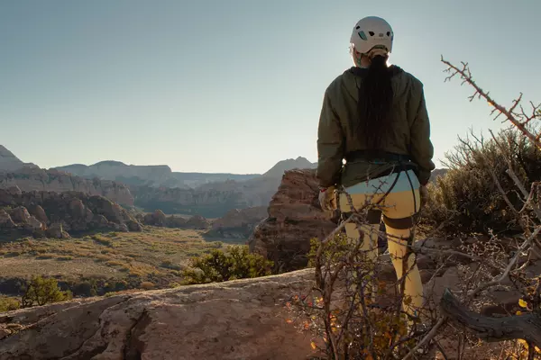
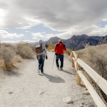
Rugged. Beautiful. And fun. The Southwest is the ultimate playground, luring adventurers with red-rock canyons, Wild West legends and the kicky delights of green chile stew.

Nathan Yan / Stocksy United
Latest Stories
- Amy C. Balfour|Nov 26, 2025How to see the best of the Southwest: 4 incredible USA itineraries
- Lauren Keith|Sep 6, 2025Riding in luxury on Canyon Spirit's Rockies to the Red Rocks train route
- Mike Shubic|Mar 15, 2023History and culture are on display in this American Southwest road trip
- Mike Shubic|Mar 15, 2023Start in Arizona for a road trip to the Southwest’s best big cities and small towns
Book

Trusted Partner
Dreaming of The Southwest? Protect your trip
Travel with confidence. Protect your trip and your wallet.
We don’t represent World Nomads, we receive a fee from quotes using this link. This is not a recommendation to buy travel insurance.
Take your United States (USA) trip with Lonely Planet Journeys
Time to book that trip to The USA
Lonely Planet Journeys takes you there with fully customizable trips to top destinations – all crafted by our local experts.


Top places to visit in The Southwest
Discover the best attractions in The Southwest from must-see sights to unexpected hidden gems.
-
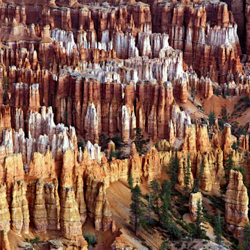 Attraction in Bryce Canyon National ParkBryce Point
 -
-
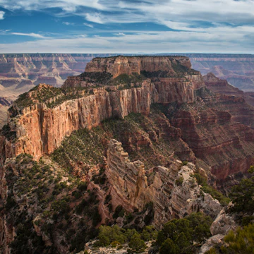 Attraction in Grand Canyon National ParkGrand Canyon National Park North Rim
 -
 Attraction in Grand Canyon RegionGrand Canyon National Park
 -
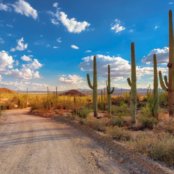 Attraction in TucsonSaguaro National Park
 - Attraction in Park CityUtah Olympic Park
-
 Attraction in Grand Canyon National ParkCape Royal
 -
 Attraction in Salt Lake CityNatural History Museum of Utah

Advertisement
Advertisement
in partnership with getyourguide
Book popular activities in The Southwest
The Southwest and beyond
-
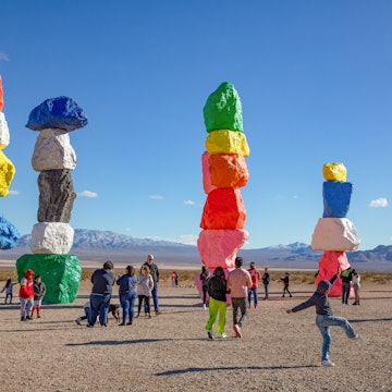 destinationLas Vegas
 -
 destinationGrand Canyon National Park
 -
 destinationZion & Bryce Canyon National Parks
 -
 destinationArizona
 -
 destinationNevada
 -
 destinationUtah
 -
 destinationNew Mexico
 -
 destinationGreater Phoenix
Advertisement