Sep 9, 202513 min readGrief on the Nile: What it is like to get the worst news on a dream tripRead Story
Apr 22, 20257 min readHow to get your cell phone connected in New Zealand: eSIMs, wi-fi and mobile networksRead Story
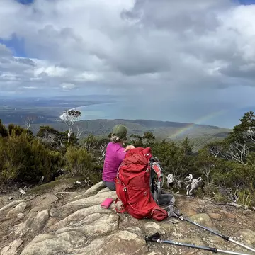
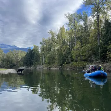
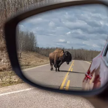
May 16, 202412 min readGet off the beaten path at these 8 incredible places in North America Read Story
Apr 4, 20246 min readCopy my trip: Sandboarding, festivals and epic sunsets in Western AustraliaRead Story
Jan 9, 20246 min readNew Zealand’s camping laws have changed - what to know if you want to travel by campervanRead Story