How to get around in Sydney
Dec 2, 2025
9 MIN READ
Writer
The Gadigal metro station in Sydney. Warren Lloyd/Shutterstock

Writer
Lonely Planet may earn a commission from affiliate links on our site. All recommendations and reviews reflect our own independent opinions.
Sydney is not the easiest city to get around in, but its public transport network is reliable, reasonably priced and way more convenient than driving. But by far, the best way to enjoy getting around Sydney is by taking a ferry or water taxi whenever possible.
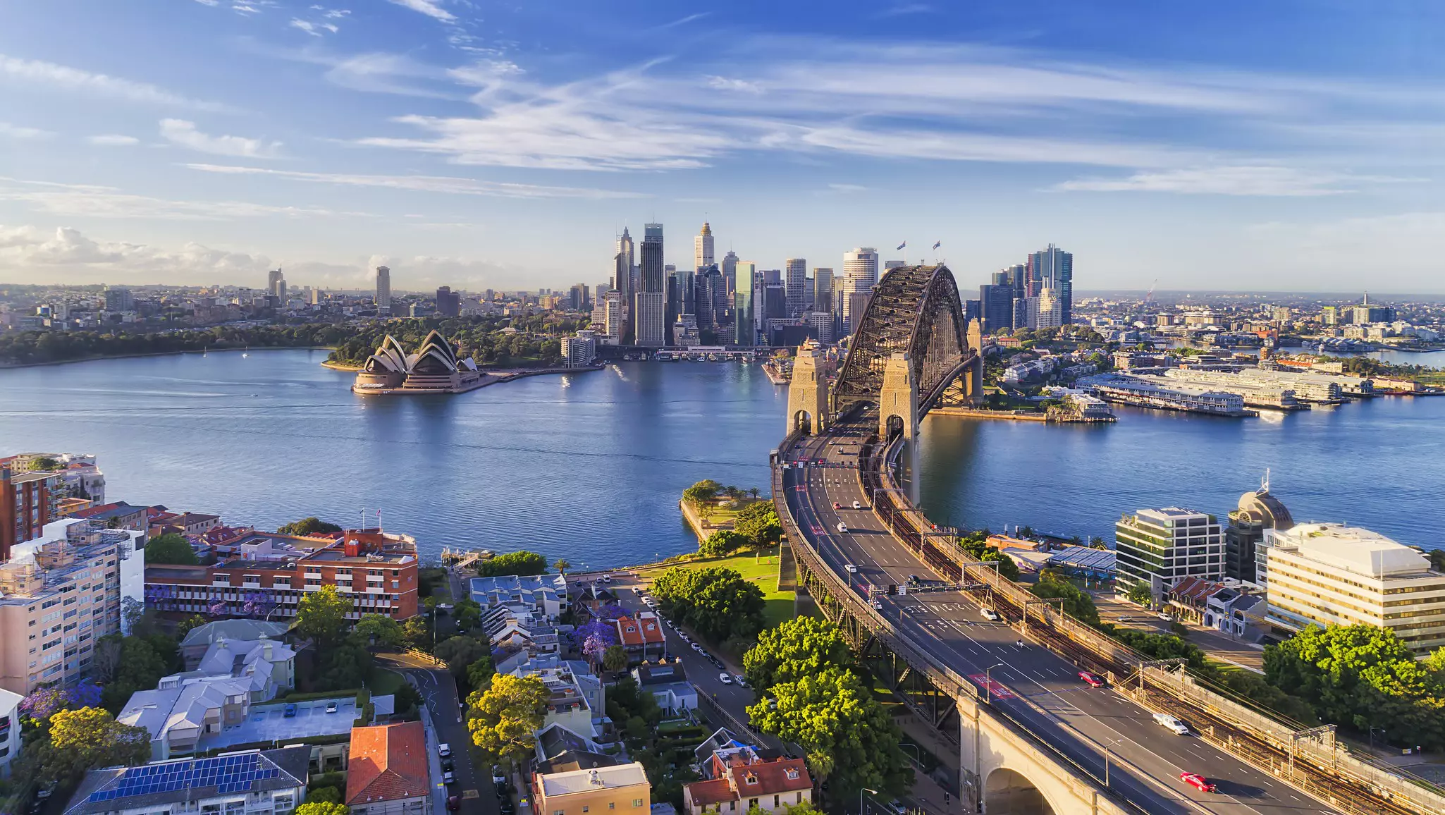
Sydney’s transport network is as complex as its road system, which grew organically, marrying disparate settlements around the harbor. Sydney Harbour Bridge connects the North Shore with the city, taking buses, cars and trains – as well as pedestrians and cyclists – across it, and the Harbour Tunnel is an alternative vehicular crossing.
Over the summer month s, you'll find much of Sydney's public transit is also air-conditioned, although there's nothing better than standing on the deck of a ferry crossing Sydney Harbour.
Getting into Sydney city from the airport
You have three options if you’re not hiring a car from the airport: train, shuttle or taxi.
Trains depart from beneath the terminal, which is well signposted, but the fare is pretty steep for the short journey into the city, considering you’ll then need to travel onward to your destination. Airport shuttle buses cost around 25 Australian dollars (A$) per person and will drop you at your city-based hotel. If you’re in a group, it may be cheaper to grab a taxi. The fare from the airport into the city center and neighboring suburbs is around A$50, which is not bad when split between passengers.
Using public transit
Get yourself an Opal card on arrival
Sydney's public transport network runs on a ticketing system called Opal. You tap in with your Opal card when you start your trip and then tap out when it's complete. The system calculates and deducts the correct fare, which is based on the distance you travel and the mode of transport (ferry, bus, train, light rail). Electronic readers are located at train and metro station gates, inside the doors of buses, on light-rail platforms and at ferry wharves.
Opal cards can be ordered online or bought in person at numerous newsagents and convenience stores across Sydney. They must be loaded with credit (it's a minimum A$35) at the airport station, to cover the fee into town.
Daily (and weekly) fare charges are capped. On weekends, the maximum daily fare is half the usual daily fee, which makes weekends the best time to travel farther, like Palm Beach or the Blue Mountains.
Note that you can only get a refund on unused credit to an Australian bank account, so it’s best to keep an eye on your balance and only top up when you need to toward the end of your stay.
Purchase one-off tickets or make contactless payments
You can use your contactless credit card or smartphone at the electronic readers. You'll pay the same as an Opal user, but make sure you're not going to incur additional international bank fees for transactions.
If you’re making a one-off trip, then you can opt to buy a single-trip Opal ticket from bus drivers and at ticket offices at Circular Quay or major train stations. Unfortunately, you need to buy a new ticket if you change to a new mode of transport, so getting a rechargeable Opal card is almost always more convenient.
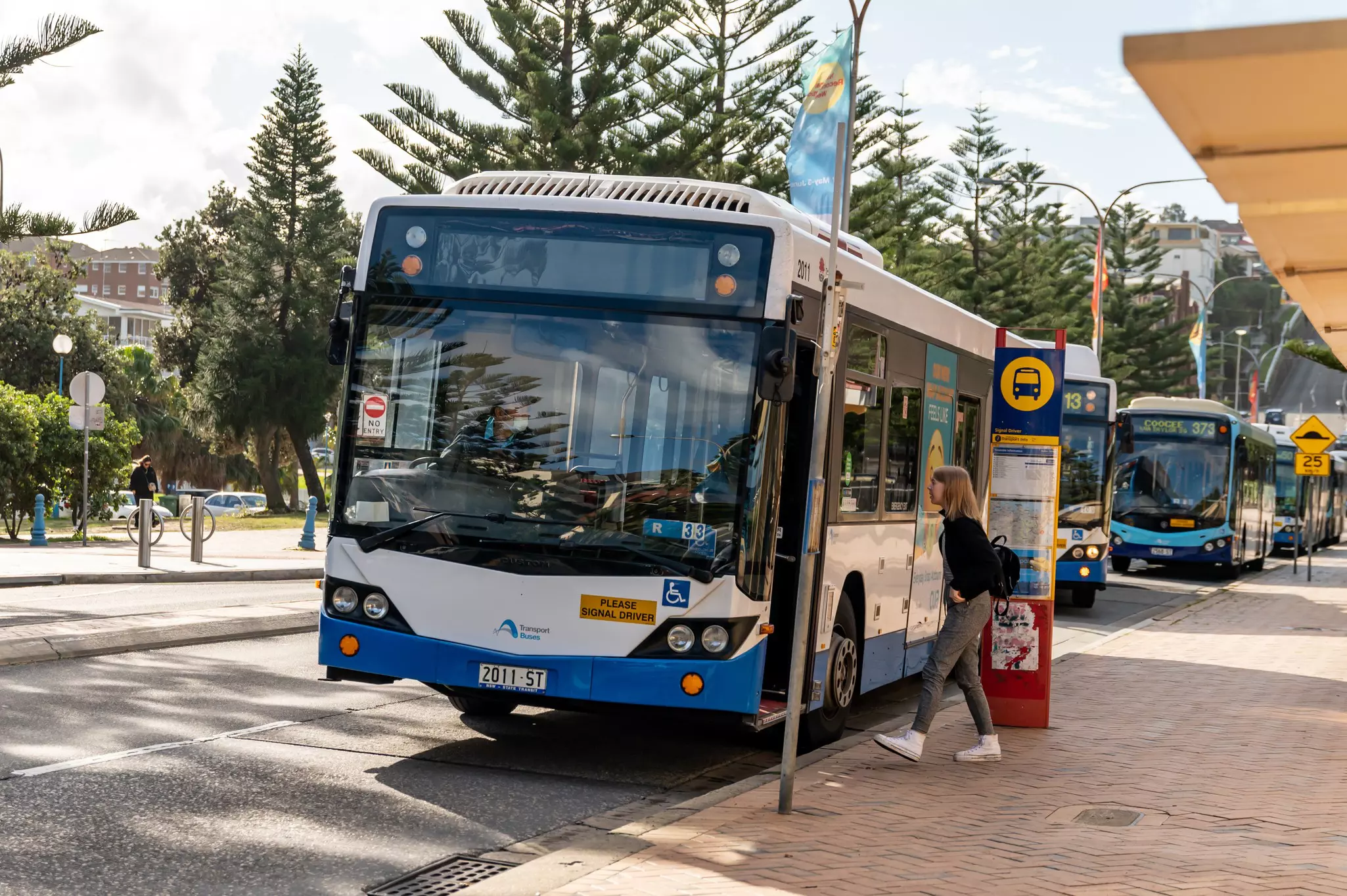
Riding the bus
Transport for NSW runs an extensive bus network, operating from around 4:30am to midnight, when less frequent NightRide services commence.
Bus routes starting with an M or E indicate express routes; those with an L have similarly limited stops. All three are somewhat quicker than the regular bus lines.
There are several bus hubs in the city center: Wynyard Park by Wynyard train station; Railway Square by Central Station; the QVB close to Town Hall Station; and Circular Quay by the ferry, with train and light-rail stops of the same name.
You tap on when you board. Remember to tap off when you hop off the bus or you'll be charged the maximum fare. Have your card ready when the bus pulls up and when you’re getting off.
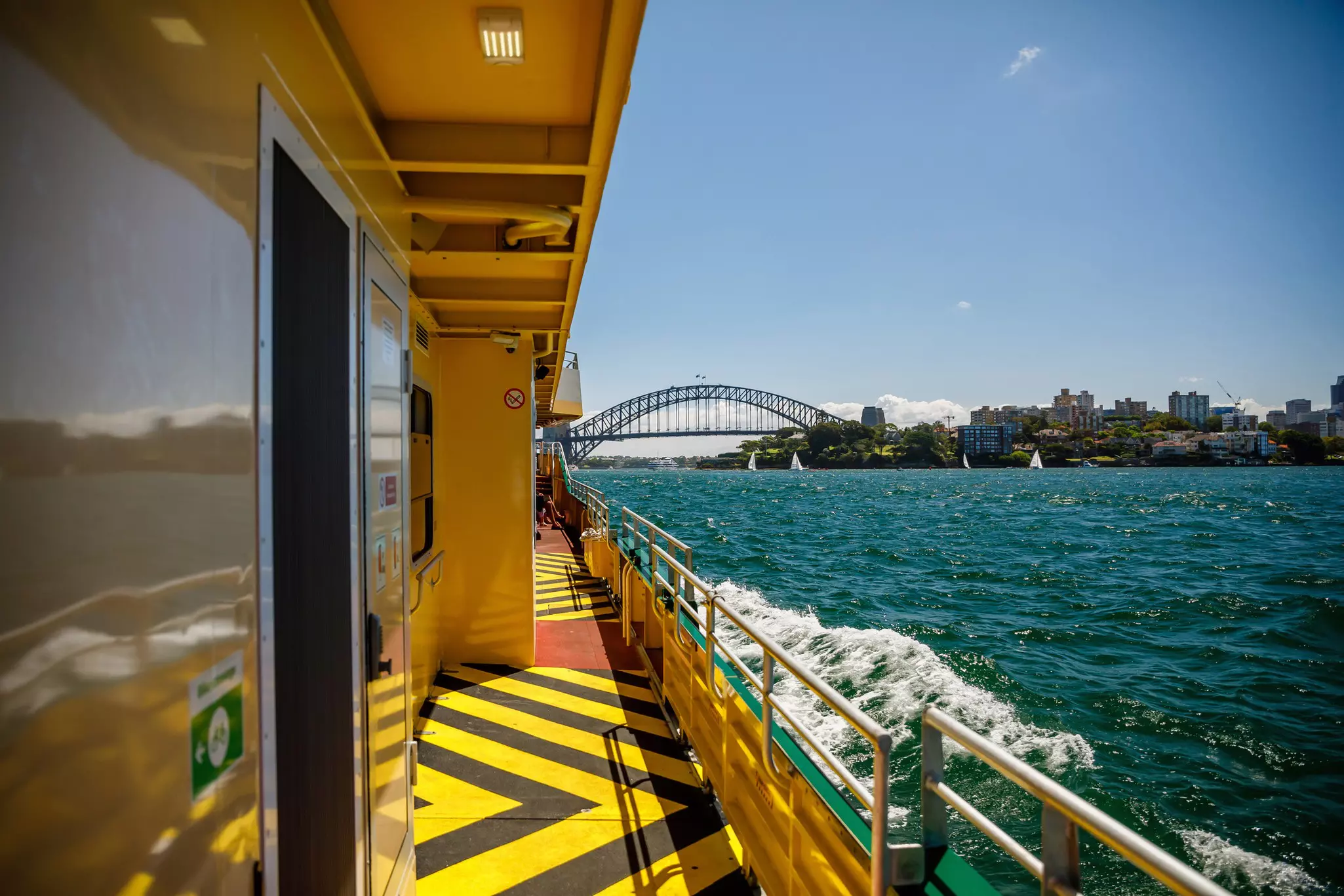
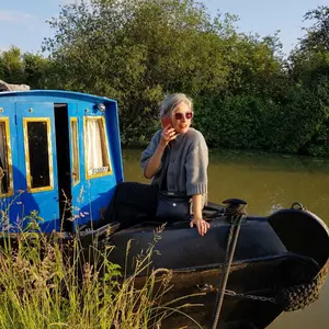
Traveling by ferry or water taxi
Most Transport for NSW ferries operate between 6am and midnight and also use the Opal ticketing system. Most run about twice an hour. You can check ferry timetables online. The standard adult one-way fare for most harbor destinations costs just over A$7, but ferries to farther destinations like Manly, Sydney Olympic Park and Parramatta are closer to A$9.
There are also private ferry operators running in Sydney, like the Manly Fast Ferry, which makes the trip from Circular Quay to Manly in 18 minutes. Captain Cook Cruises is another private outfit that offers services with several stops around the harbor and all the way to Lane Cove.
Meanwhile, water taxis offer a fast way to shunt around the harbor (Circular Quay to Watsons Bay in as little as 15 minutes, for example). Companies will quote on any pickup point within the harbor and the river, including private jetties, islands and other boats. All have a quote generator on their websites; you can add in extra cruise time for a bit of sightseeing. It's often good value for groups. Look for companies like H2O Maxi Taxis and Water Taxis Combined.
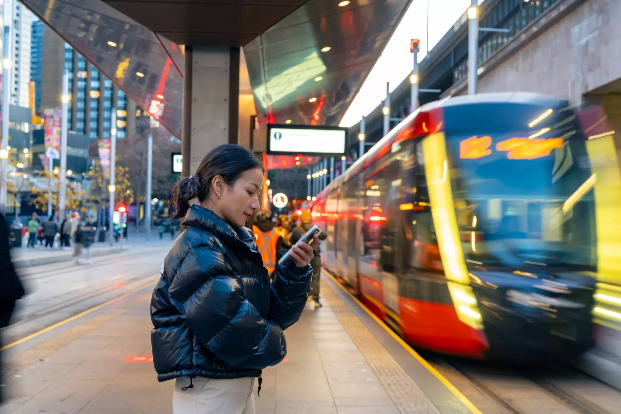
Using trains and light rail trams
Sydney has a large suburban railway web with relatively frequent services, although there are no lines to the northern or eastern beaches (i.e., Manly or Bondi). Trains run from around 5am to midnight. You’ll need to find a NightRide bus in the small hours. These mostly leave from around Town Hall Station and pass through Railway Square at Central Station.
Note that trains are significantly more expensive at peak hours, which are from 7am to 9am and 4–6:30pm, Monday–Friday. If you can travel outside peak hours, you’ll be more comfortable too.
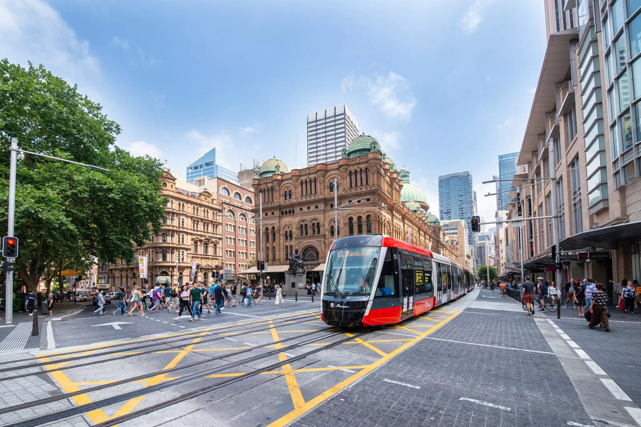
Light rail tram services are relatively new to Sydney. OK, that isn’t entirely true. Sydney had an extensive tram network from the 1870s to 1961, when it was disbanded because the trams slowed down cars and caused congestion on the roads.
Today there are two connecting routes. One runs between Central Station and Dulwich Hill, stopping at Chinatown, Darling Harbour, the Star Casino, Sydney Fish Market, Glebe and Leichhardt en route.
The second runs from Circular Quay through the city center to Central Station, then shoots east through Surry Hills, heads past the Sydney Cricket Ground and on to Kingsford, with a branch veering to Randwick. Pedestrians should be on the lookout for these light rail trams when crossing tracks, as they're quick and pretty quiet.
Driving in and around Sydney
Sydney’s geography really cuts different parts of the city up. Between the harbor, narrow lanes and winding hilly roads, no car journey is quick or easy. Traffic can be a real problem. As well as Google Maps, the app Live Traffic NSW gives up-to-date news of incidents and conditions that affect journeys in Sydney.
Parking on the street and in private parking lots is expensive. Most machines take cards as well as coins. The cheapest way to park in the city center is to pre-book online; Wilson Parking has particularly attractive rates. Parkopedia is very helpful for finding the cheapest rates around where you want to park.
There are tolls on most of Sydney’s motorways and major links (including the Harbour Bridge, Harbour Tunnel, Cross City Tunnel, WestConnex and Eastern Distributor). The tolling system is electronic, meaning it’s up to you to organize an electronic tag (e-tag) or visitors’ pass. Most car-hire companies supply e-tags, but they may try to sell you an expensive all-inclusive rate. Read the fine print.
The only reason you’d want to hire a car in Sydney is to take it for day trips outside the city. The public transport system gets you pretty much anywhere – even to the Blue Mountains – and catching a ferry across the harbor to Manly Beach is one of those must-do Sydney experiences. The northern beaches are less accessible without a car, but it can be done.
Similarly, Bondi is a trek to get to via train and bus. But did we mention the traffic? You’re almost always better off on public transport anyway.
In other road-related news, Sydney announced it is adding dedicated koala crossings along one of its major roads out of the city, Appin Road heading southwest, as part of a long-term goal to double koala numbers in New South Wales by 2050.
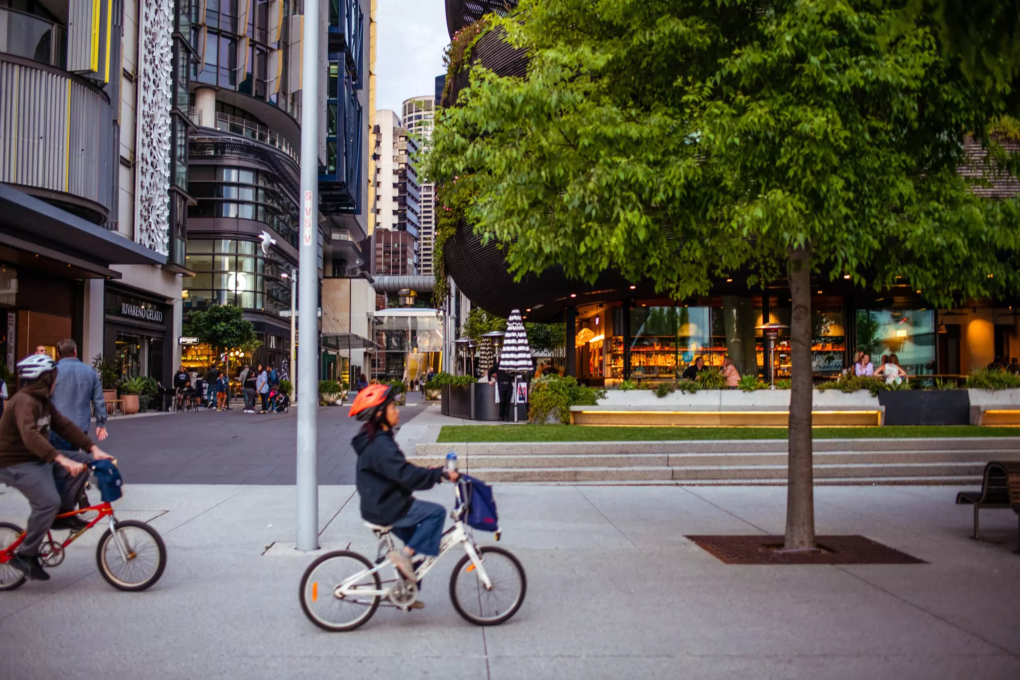
Cycling through town
Sydney is not the most bike-friendly city and that's not just because of the hills! Driver aggression is one factor, but a lack of safe cycling infrastructure has been another. Things are improving, however, with more segregated lanes being built, and Sydney's hills are easier to navigate thanks to e-bikes.
The three main dockless bike-share schemes to hire a bike to get and from A to B in Sydney city are Lime, Beam and HelloRide.
If you'd prefer a leisurely cycle around Olympic Park or Centennial Park, local bike hire companies might be a better bet. Remember that wearing a bike helmet is compulsory in Australia.
Getting around Sydney with kids
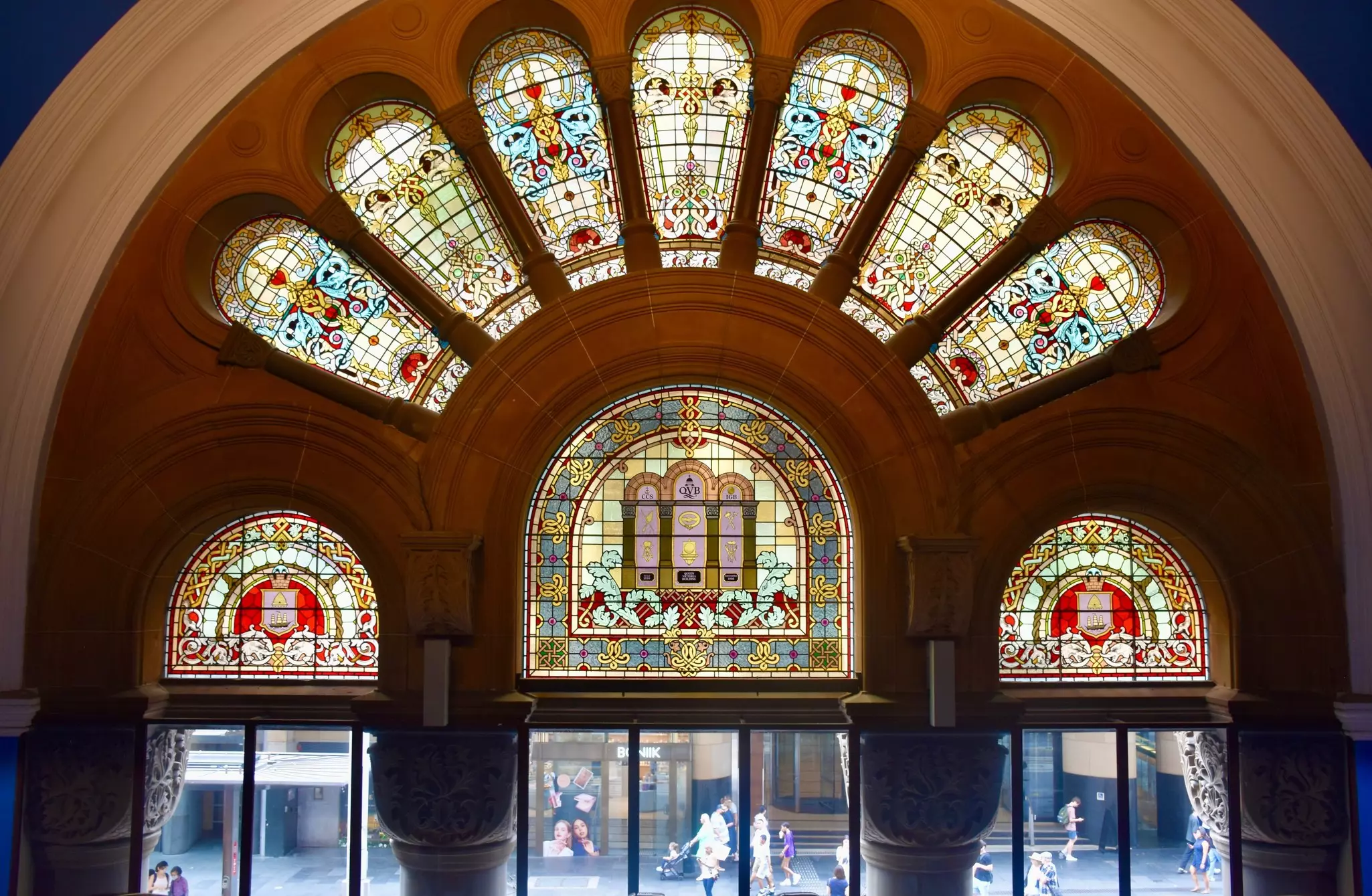
Sydney is reasonably accessible for traveling with a pram or stroller, so you can experience the city with kids. Most transport, including ferries, offers lifts and ramps to embark. Look out for the wheelchair symbol to find relevant exits and pathways through buildings like the Queen Victoria Building.
You can choose "accessible travel" to plan your journey on the Transport for NSW website. Kids aged 3 and under travel on Sydney public transit for free. Children aged 4–15 will need a separate child Opal card.
For an extra cost, car-hire companies will supply and fit child safety seats (which are compulsory in Australia for children under 7).
What are the best public transport trips in Sydney?
Bus 389 is an interesting bus route from Darling Harbour to Bondi Junction.
Bus B1 is an express bus from Wynyard to the Northern Beaches.
City Circle does a loop of city train stations, making it handy for most attractions in the center.
T1 is the northbound train line that crosses the Harbour Bridge.
F1 is the Manly ferry, a glorious .5-hour cruise from Circular Quay.
F4 is a picturesque ferry ride that takes you from Circular Quay to Watsons Bay via Rose Bay.
Which smartphone apps are good for Sydney transport?
There are several apps available with up-to-date information for Sydney transport. TripView is the app put out by Transport for NSW. In addition, you might want to try: