Ranong Province
Located 12km south of Ranong, this 668-sq-km park preserves a rainforest and a 300m-high tiered waterfall. A short trail leads up to a section of the…
Getty Images/iStockphoto
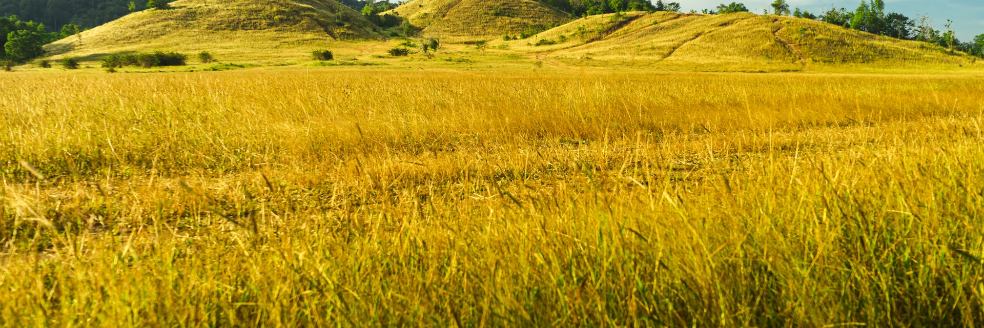
The Andaman's northernmost province is a whole different package to the white-sand, turquoise-sea paradise that is used to sell the Andamans on tourist brochures. Thailand's least populated and wettest region gets up to eight months of rain a year, so it's soggy, while beaches along the coast are scarce.
Experience the real Ranong Province. Let a local expert handle the planning for you.
Get startedRanong Province
Located 12km south of Ranong, this 668-sq-km park preserves a rainforest and a 300m-high tiered waterfall. A short trail leads up to a section of the…
Ranong Province
This hot-spring area 6km south of Ranong offers several pools of varying temperatures and a cooler pool for swimming fed by a stream. Your entry ticket…
Ranong Province
Shrouded in jungle just north of the main pier, on Ko Phayam's east coast, you'll find a majestic golden Buddha here flanked by a three-headed naga …
Ranong Province
A Moken (Sea Gypsy) village is located at the western side of Buffalo Bay. From the end of the road you need to walk through deep sand and cross a river…
Laem Son National Park
The Laem Son National Park covers 315 sq km of land, shared by the Ranong and Phang-Nga Provinces, and includes around 100km of Andaman Sea coastline –…
Ranong Province
This pretty refuge at the base of a hill was originally a resting place for Buddhist pilgrims. A temple was constructed on the site in 1987. You can hike…

Get to the heart of Ranong Province with one of our in-depth, award-winning guidebooks, covering maps, itineraries, and expert guidance.