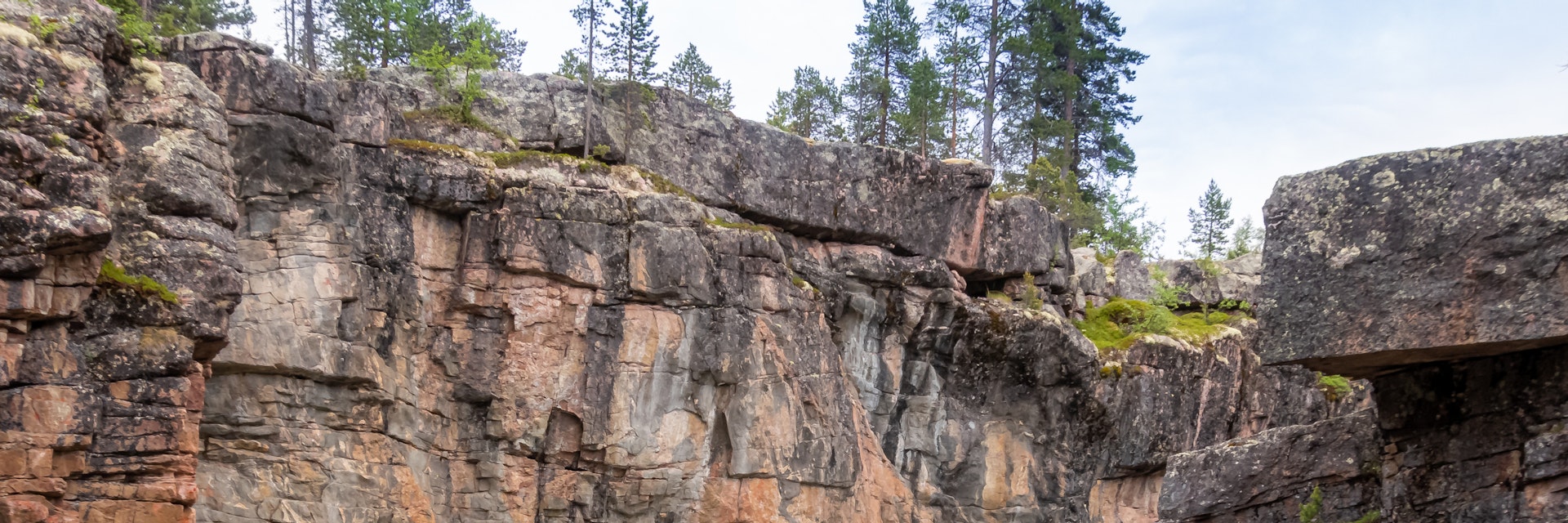
Although technically in Troms county, Reisa National Park (803 sq km) is equally accessible by road from Kautokeino. For hikers, the 50km route through this remote Finnmarksvidda country is one of Norway's wildest and most physically demanding challenges. The northern trailhead at Sarelv is accessible on the Rv865, 47km south of Storslett, and the southern end is reached on the gravel route to Reisevannhytta, 4km west of Bieddjuvaggi on the Rv896, heading northwest from Kautokeino.
Most people walk from north to south. From Bilto or Sarelv, you can either walk the track up the western side of the cleft that channels the Reisaelva river or hire a riverboat for the three-hour 27km trip upstream to Nedrefoss, where there's a DNT hut. En route, note the 269m Mollesfossen waterfall, east of the track on the Molleselva tributary stream. From Nedrefoss, the walking route continues for 35km south to the Reisevannhytta hut on lake Reisajävri, near the southern trailhead.
Of the park's wildlife, the most charismatic inhabitants are the wolverine and Eurasian lynx. The Sami name for part of the gorge, Njállaávzi, means 'Arctic Fox Gorge', which suggests that Arctic foxes were once present here.
The Halti Nasjonalparksenter (national park centre) is in Storslett.