The best part about hiking in New England? The sheer diversity. Stroll along the rugged Maine coast, scramble up a sheer cliff on iron rungs, follow a stream to a gorge-carving waterfall or huff-and-puff to the top of New England’s highest peak where the weather is notoriously wild.
Two classic trails are always a good bet for exploration: the 273-mile Long Trail, a mountainous corridor running the length of Vermont from Massachusetts to Canada, and the 2179-mile Appalachian Trail (AT), which blazes through Connecticut, Massachusetts, Vermont, New Hampshire and Maine.
But if you're looking for other hikes that aren't quite so long or so famous, these are some of the best spots in New England, from the Green Mountains of Vermont to the White Mountains of New Hampshire to the summit of Mt. Katahdin.
Here are New England's best hiking trails.
Mount Monadnock, New Hampshire
Best hike for those looking for a workout
4.2 miles (6.8km) roundtrip, 4-5 hours, strenuous
Author and nature lover Henry David Thoreau climbed New Hampshire's Mount Monadnock for the first time in 1858. He enjoyed it so much he returned two years later to tackle it again. Thoreau’s not the only person to enjoy the hike to the top of the 3165ft peak, which is climbed by more than 100,000 people every year.
Monadnock derives from an Abenaki tribal word meaning “special” or “unique”. The word is now used geologically to describe a residual hill that rises alone on a plain. The most direct path to the summit is the steep and rocky White Dot Trail. And oh, that summit. It’s a breezy rock pile ready-made for picnicking, view-appreciating and, well, selfie-taking. For variety, return on the less steep White Cross Trail.
Ladder Trails, Maine
Best hike for experienced hikers
1 to 4.3-miles roundtrip; strenuous
Hmm. Why are there iron rungs on this trail? And what’s up with that thin iron grate? Is it a bridge or a trap door to oblivion? Oh yes, the joys of the short but treacherous Beehive Trail, one of several “ladder” trails in Acadia National Park. And by ladder, we mean just that: iron rungs that climb up boulders and steep cliffs.
The Beehive ends at the 520ft summit of a granite dome, offering a superb view of Sand Beach far below. More challenging is the Precipice Trail, where ladders climb the steep Champlain Mountain.
Bridges, railings and more ladders help hikers ascend a sheer cliff on the Jordan Cliffs Trail, which summits the 1194ft Penobscot Mountain near Jordan Pond. To escape the crowds, try the short Beech Cliff Trail, built by the Civilian Conservation Corps. It’s located near Echo Lake west of Cadillac Mountain.
Note: The Precipice, Jordan Cliffs and Beech Cliff Trails may close from mid-March to mid-August during peregrine falcon nesting season.
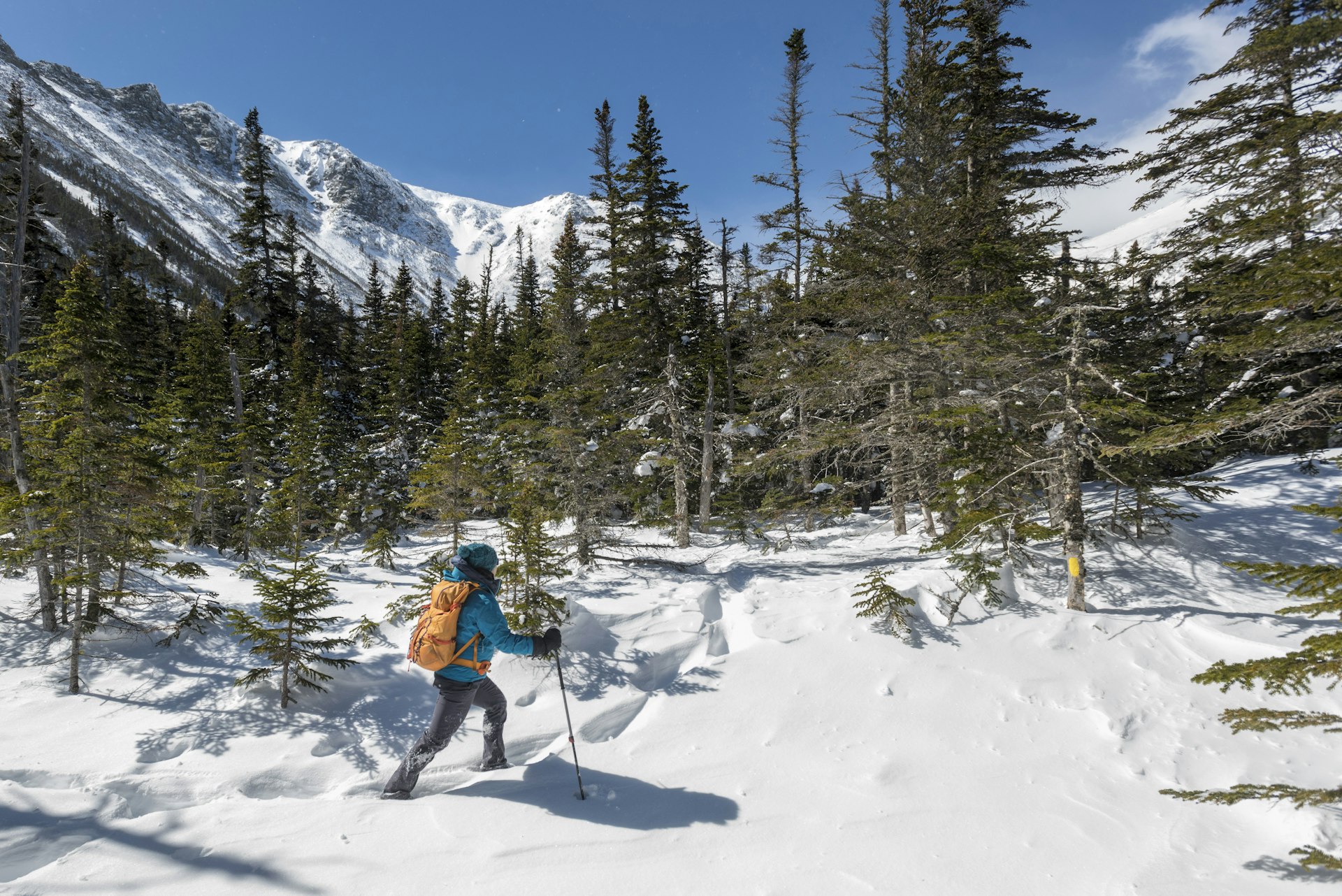
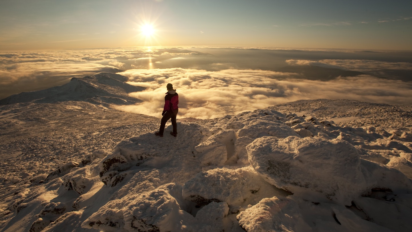
Mount Washington, New Hampshire
Best hike for the highly trained
8.4 miles roundtrip, 6-8 hours, extremely strenuous
The hike to the summit of the highest mountain in New England is one for the bucket list. But you don’t want to kick the bucket while climbing it, so come prepared. The 6288ft summit, dubbed "The Rock Pile”, sees some of the most extreme weather in the US, experiencing hurricane-force winds every three days or so.
The summit clocked the second-highest wind speed ever recorded when gusts reached 231mph in 1934. The trails to the top also experience extreme – and fickle – weather conditions. Dozens have died while attempting the hike.
The popular Tuckerman Trail is a thigh-burning, knee-scrambling ascent. The final push stretches across a rocky headwall and barren cone exposed to the weather. But these elements are what make bagging this peak such a feat.
You won’t find many day hikes like it and the experience of reaching the top is exhilarating – even if you do discover a parking lot filled with cars that drove to the top. Prior to your hike, check the weather at the Pinkham Notch Visitor Center. If you proceed, make sure you have warm, windproof clothes and shoes. Turn back if the weather starts to look bad.
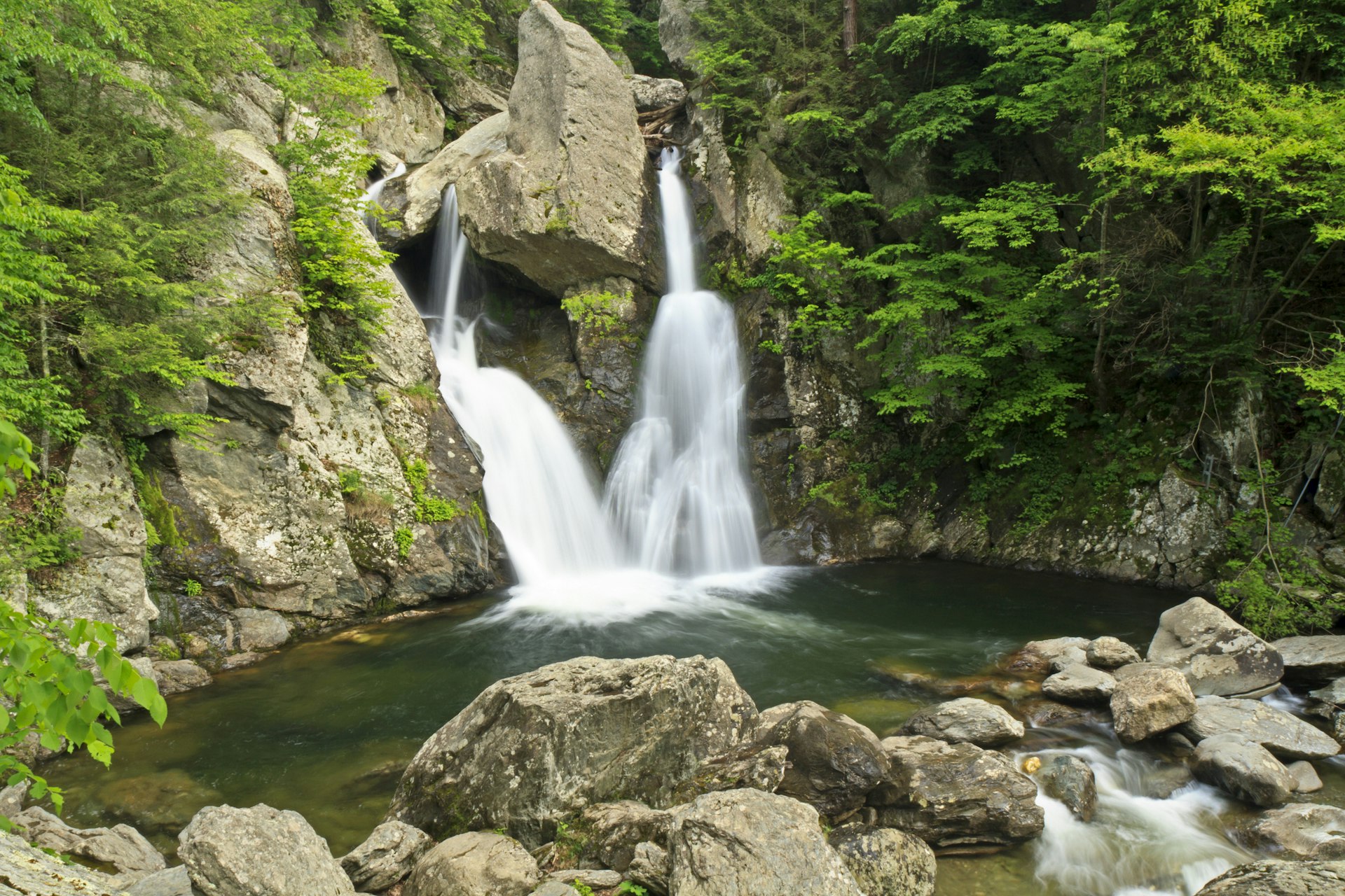
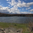
Bash Bish Falls, Massachusetts
Best hike for artists
2 miles roundtrip, 40-60 minutes, easy to moderate
In the very southwest corner of the state, near the New York state line, is Bash Bish Falls, the largest waterfall in Massachusetts. The water feeding the falls runs down a series of gorges before the torrent is sliced in two by a massive boulder perched directly above a pool.
There it drops as a picture-perfect double waterfall. These 60ft-high falls are a popular spot for landscape painters to set up their easels.
A short, steep trail leads directly to the falls from the Massachusetts parking lot. For a gentler walk, continue driving 1 mile west across the state border to the New York parking lot, from where a more level path takes you to the water's edge. Hikes from both starting points take about 20 minutes each way.
To get to the Taconic Mountains from Great Barrington, take MA 23 west to South Egremont. Turn onto MA 41 south and then take the immediate right onto Mt Washington Rd (which becomes East St) and continue for 7.5 miles. Turn right onto Cross Rd, then right onto West St and continue 1 mile. Turn left onto Falls Rd and follow that for 1.5 miles. The parking lot and trailhead will be on your left.
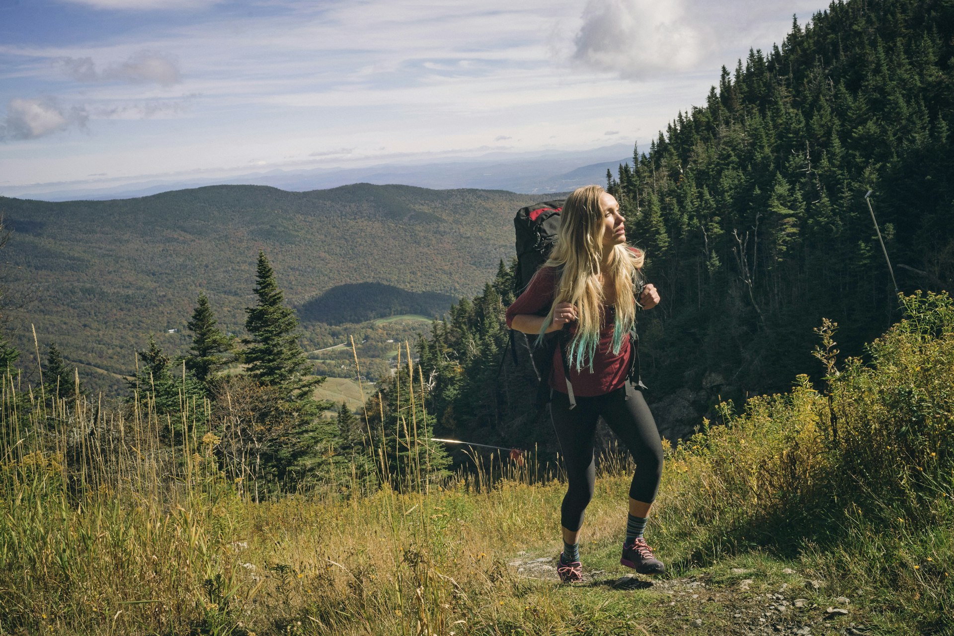
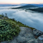
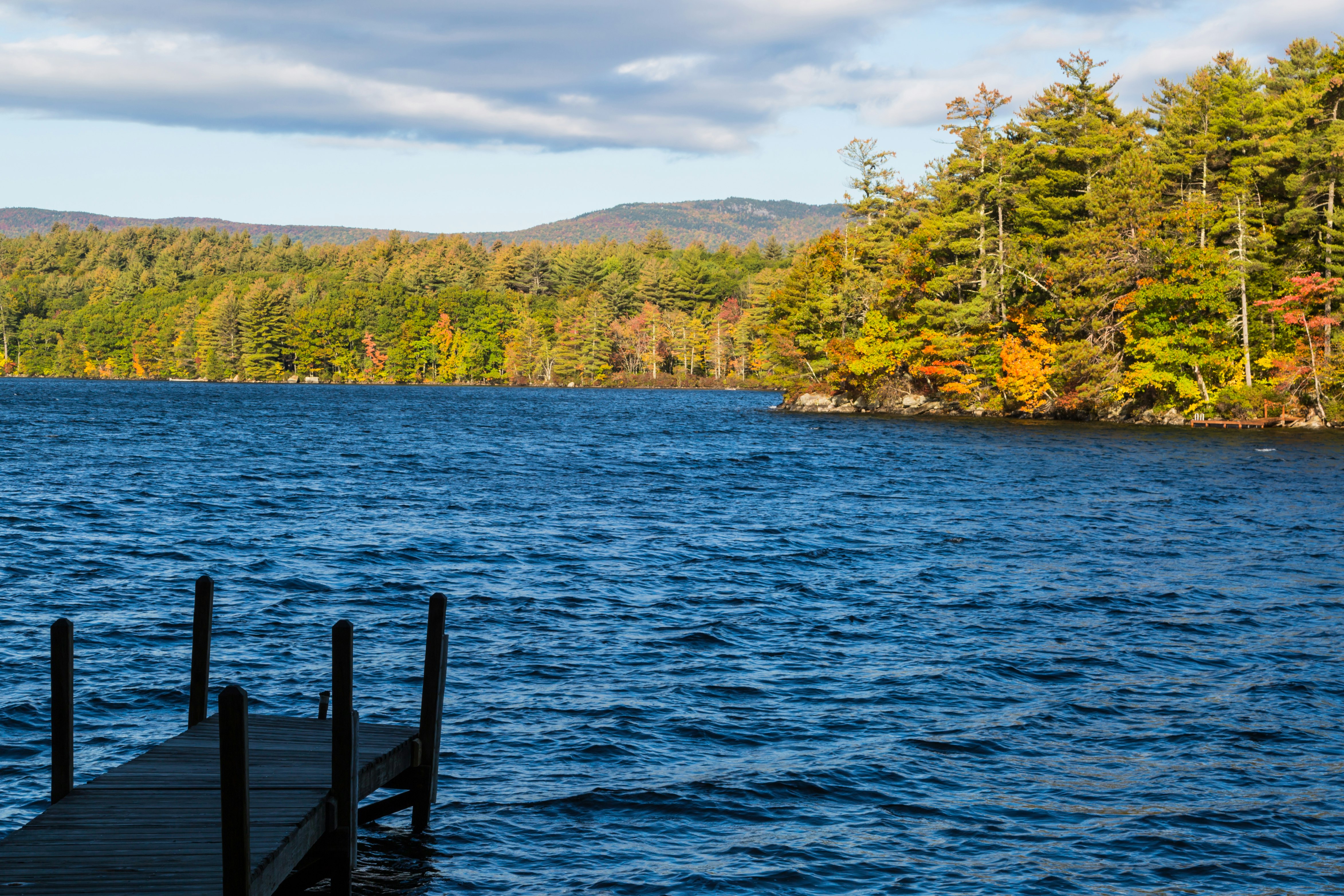
Mount Mansfield, Vermont
Best hike for extraordinary views
3 to more than 6 miles roundtrip; half day; strenuous
Several trails lead to the top of Vermont’s highest peak, located in the Green Mountains. From the summit, the panoramic view stretches from Lake Champlain and New York’s Adirondacks in the west to New Hampshire’s Mount Washington in the east.
To some observers, the summit ridgeline looks like the profile of a human face. The Long Trail passes several features on the profile, climbing north from the forehead to the nose to the chin, which is also the 4343ft summit. Short cross-trails link these summit trails, making it easy to set up a loop hike with varied scenery, from treeline tundra to leafy corridors of green.
The rocky Sunset Ridge Trail offers a prime view of the nose and chin as you climb. Above the treeline, stay on the trail and avoid walking across the delicate alpine tundra. Several summit trails start in Underhill State Park.
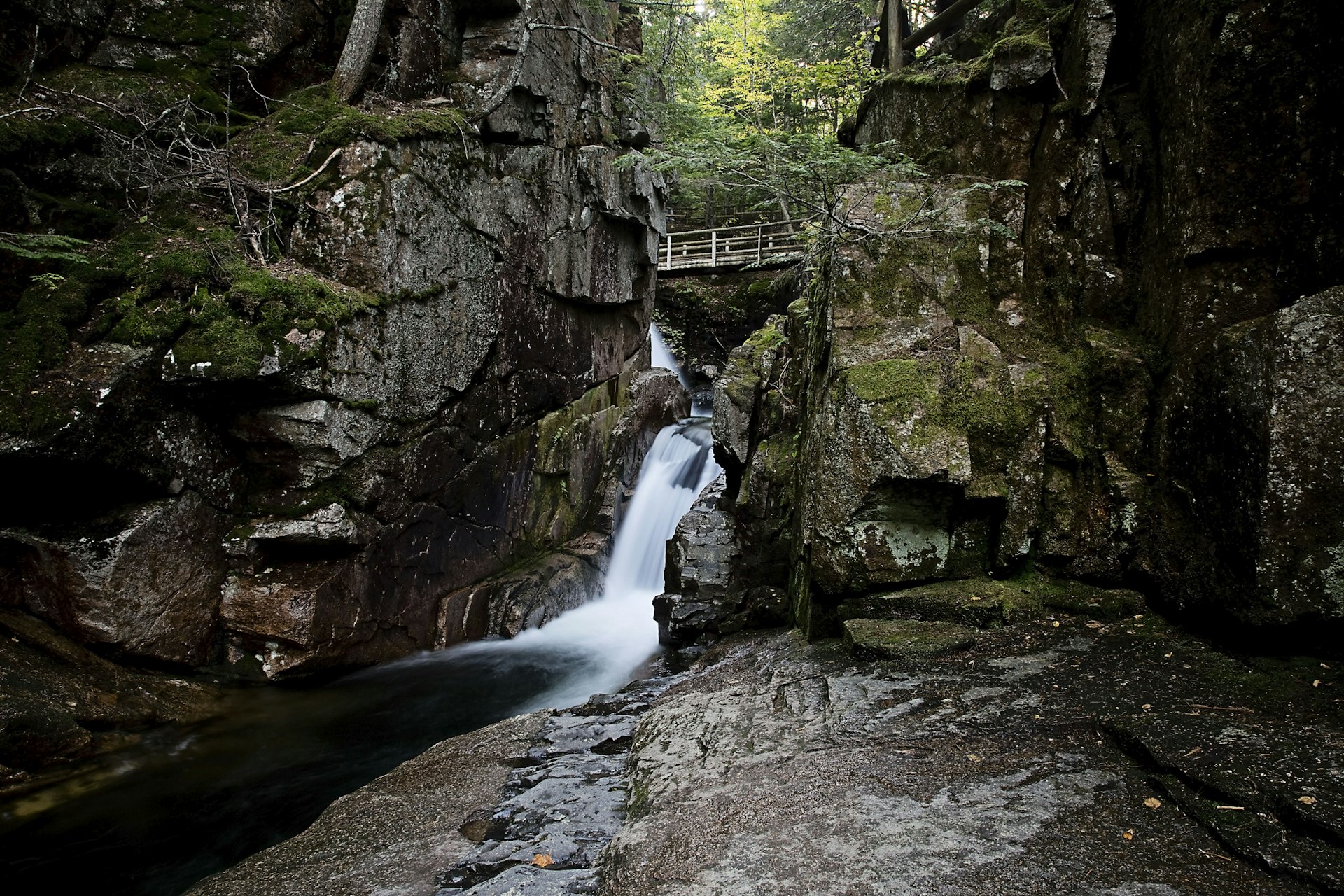
Sabbaday Falls, New Hampshire
Best hike for all experience levels
0.4 miles roundtrip, 20 minutes to 1 hour, easy
The problem with driving the Kancamagus Highway? It’s lined with trailheads and pull-offs – all beckoning with promises of adventure and beautiful scenery. One sure thing is the hike to Sabbaday Falls on the Sabbaday Brook Trail in White Mountain National Forest.
It’s not an undiscovered gem. It’s not off-the-beaten-path. And it’s certainly not a secret. It is, however, awesome. What awaits at the end of this short stroll through the hardwoods? A gorge waterfall, powering through narrow granite walls into lovely pools. Stairs lead to overlooks with mesmerizing views of the flume. Sabbaday is an old term for the Sunday Sabbath, a day of rest.
According to legend, road workers hid their tools near the falls on a Sunday before heading home for the season. Never, apparently, to return for them. The trail is handicapped-accessible.
Cutler Coast, Maine
Best hike to avoid the crowds
9 miles roundtrip, 7 hours if you complete the full loop, strenuous
This little-known reserve a few miles northeast of Cutler has hiking trails amid spectacular coastal scenery. If you've visited Acadia National Park and wondered what the shoreline trails would be like without the crowds, this is the place to come.
This 12,000-acre expanse encompasses lush forests thick with moss and ferns, blueberry barrens and jagged headlands overlooking hidden coves and rocky beaches.
The well-marked trail from the starting point is 1.4 miles one-way to the shoreline; from there, the path continues another 3.4 miles before looping inland and returning to the trailhead. Allow seven hours to do the entire 9.2-mile loop or just tackle one stage of it.
Parking for the trailhead is 4 miles northeast of Cutler (and about 21 miles from Machias). There are also five first-come, first-served backcountry campsites scattered along the trail (these are 3 to 5 miles from the trailhead, so pack light!).

Mount Greylock, Massachusetts
Best hike for nature writers
8.2 miles roundtrip, 6 hours, strenuous
An inspiration to several of America’s most admired nature writers – Henry David Thoreau, Nathaniel Hawthorne and Herman Melville – this lovely and leafy peak in northwestern Massachusetts is also the state’s highest, topping out at 3491ft.
The Appalachian Trail and several others lead to the summit, which sits on a long ridge. For waterfalls and an old-growth spruce forest, try the popular Hopper Trail which follows a carriage road and climbs a ravine before joining the white-blazed AT just below the summit. If it’s open, climb the 92ft War Memorial Tower and take in the 360-degree view of Massachusetts, Connecticut, New York, Vermont and New Hampshire.
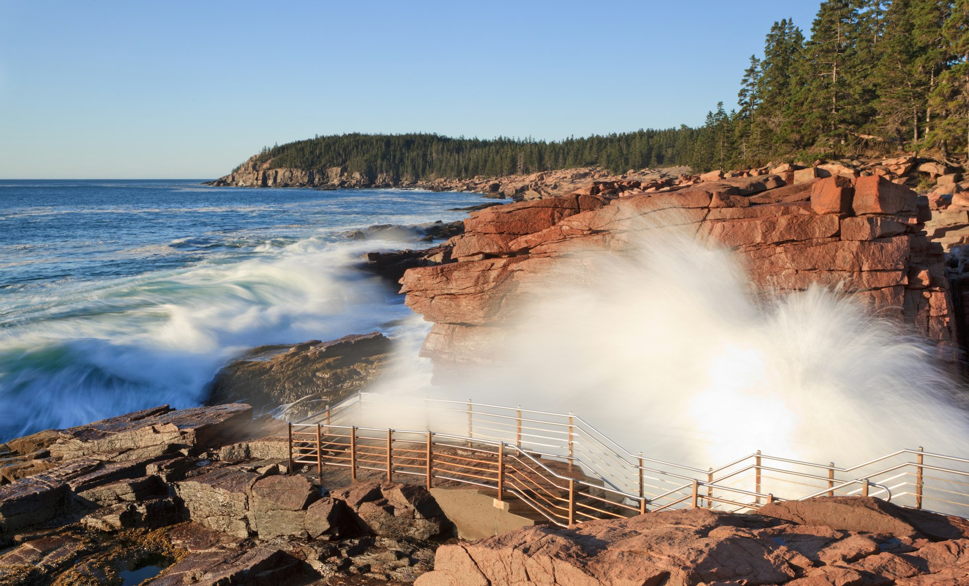
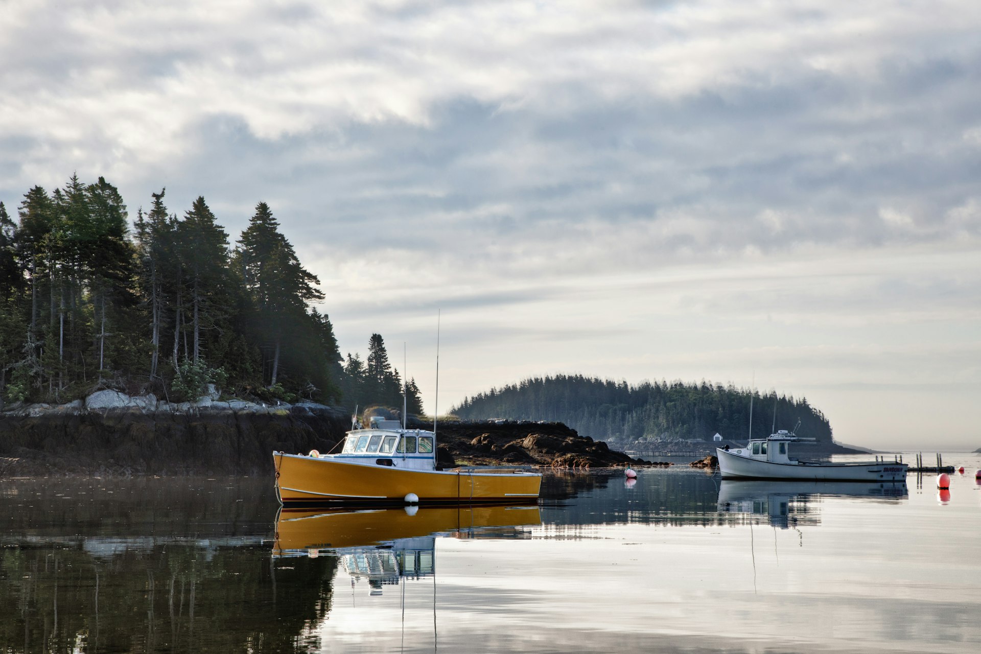
Coastal Trails, Maine
Best hike for those who don't mind getting a little wet
Marginal Way – 1 mile; Ocean Path – 2.2 miles, 30 minutes to 1.5 hours, easy
The Maine shoreline stretches nearly 3500 rugged and rocky miles. Dotted with lighthouses, lobster shacks and tidal pools, it can be a scenic yet strangely moody place to explore by foot. One perennially popular trail is the paved Marginal Way, a one-mile footpath in Ogunquit winding high above the crashing waves. It traces a “margin” of the sea. Dotted with inviting benches, the path links Beach Street with shops and restaurants beside Perkins Cove.
The Ocean Path, which stretches 2.2 miles along the coast in Acadia National Park is a bit wilder. Running south from Sand Beach to Otter Point, it swings past rocky outcrops, booming Thunder Hole and the towering Otter Cliffs. Level but occasionally rocky, the trail is easily reached from Park Loop Road.
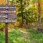
West Rattlesnake Trail, New Hampshire
Best hike for those with limited time
1.8 miles round-trip, 1-2 hours, easy
Sometimes you just want to pull over, hike a short distance, look at a stunning view and say “Duuuude…” The trail up West Rattlesnake Mountain near the town of Holderness offers just this experience. From the parking area, pick up the Old Bridle Trail.
It climbs 0.8 miles through oak and pine trees to a collection of pink granite outcrops. Your view? Gorgeous Squam Lake and a cluster of forest-covered islands, all shimmering before you like a fairy-tale realm. Although on a summer weekend you’ll likely be sharing your kingdom with the masses. This hike is nice for families.
From the Squam Lakes Natural Science Center follow Rt 113 for five miles. The trailhead is a short distance beyond Pinehurst Road. Park on the west side of the road then walk across Rt 113 to access the trail.
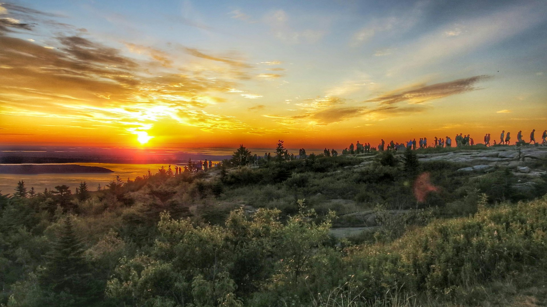
Cadillac Mountain, Maine
Best hike to watch the sun rise (or set)
4.5 miles roundtrip, 2-4 hours, strenuous
Don't leave Acadia National Park without hiking to the 1530ft summit of Cadillac Mountain. The summit is a popular place in the early morning because it's touted as the first spot in the USA to see the sunrise. Not an early riser? The sunset is always a good bet, too. For panoramic views of Frenchman Bay, walk the paved 0.5-mile Cadillac Mountain summit loop.
There are numerous trails to the top, leading from north, south, east and west. The easiest to access is the Cadillac North Ridge trailhead, located about 3 miles southwest of central Bar Harbor (and about 3.5 miles south of Hulls Cove Visitor Center).
From the trailhead, it's a moderate 2.2-mile (one-way) climb to the summit, with fine views of Eagle Lake off to the west on the way up.
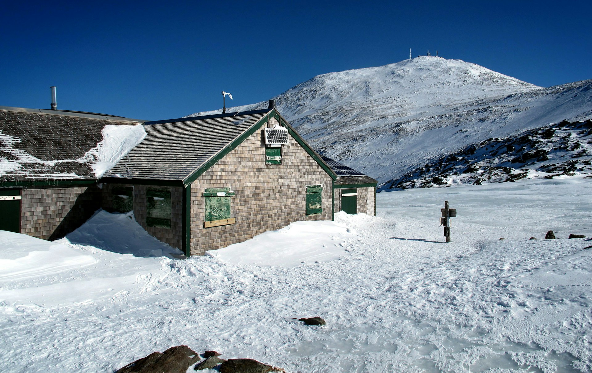
Hut-to-Hut Hiking in the White Mountains, New Hampshire
Best hike for adventurers
1.6 to 4.6 miles one-way; 1.25 to 3.5 hours, moderate to strenuous
Home-cooked meals. Evening entertainment. And convivial strangers who share your love for the outdoors. And we haven’t even mentioned the gorgeous mountain views. Sold? Yep, day-hiking between the eight huts maintained by the Appalachian Mountain Club (AMC) in the White Mountains is one of the most enjoyable outdoor adventures in New England.
The first hut opened more than 125 years ago and today they are going strong. The huts dot a 56-mile stretch of the Appalachian Trail, which is reached by a network of trails unfurling from the Highland Center at Crawford Notch, the Pinkham Notch Visitor Center and various roadside pull-offs.
The New Hampshire trails all swoop along the Presidential Range, with streams, waterfalls, wildlife sightings, alpine views and plenty of trees along the way. A small but dedicated “croo” maintains each hut.
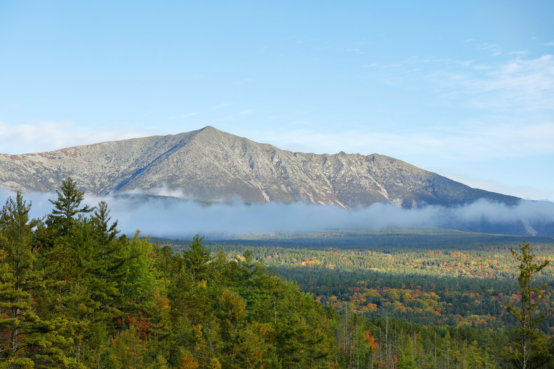
Mount Katahdin, Maine
Best hike for scrambling
3-5 miles roundtrip, 8-12 hours, strenuous
The towering endpoint of the Appalachian trail, Mt. Katahdin (kuh-tah-duhn) means "the greatest mountain" in the language of the Indigenous Penobscot people. It's easy to see why – and why this peak is on many hikers' bucket lists. Maine's highest summit (elevation 5267ft) is one of the most challenging and rewarding day hikes in the state.
There are a number of ways you can get to the top, with trails leading up from Abol, Katahdin Stream and Roaring Brook campgrounds. All are rated by the park as being 'very strenuous' and will involve some degree of scrambling over boulders above the tree line.
The most popular route is the Hunt trail – also the final section of the Appalachian Trail (AT) – which leads up from Katahdin Stream. This 5.2-mile (one way) hike involves a 4188ft elevation gain and takes you past the scenic Katahdin Stream Falls. If you do the hike from late July to early October, expect to see some AT thru-hikers (those who've already hiked the 2000-plus miles from Georgia).
The hardest way to get to the top involves taking the 3.2-mile Helon Taylor trail (starting at Roaring Brook) up to Pamola Peak, and continuing via the Knife Edge for the final 1.1 miles to the summit. This last bit lives up to its name, as you'll be traveling along a narrow rocky traverse (4ft wide in part) with steep drop-offs on both sides. It's more of a technical hike, and you'll need focus and agility. Those afraid of heights should not attempt it.
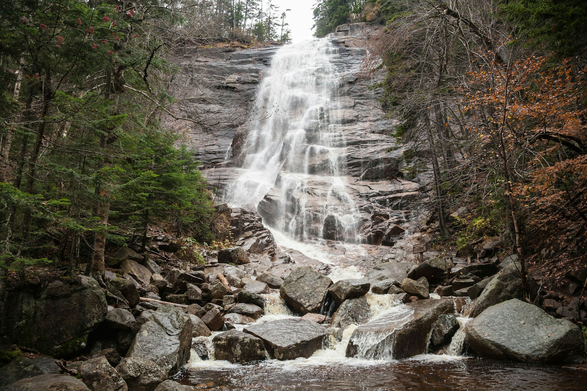
Arathusa Falls Trail, New Hampshire
Best hike for photographers
2-5 miles, 3 hours, moderate to difficult
You might think you've strolled through a portal to the mid-1700s on this leafy hike through the woods – until that guy walking his dog bounds around the bend, breaking your pioneer reverie. The 200ft-high Arethusa Falls are a highlight of Crawford Notch, a mountain pass cleaved from the landscape when the continental ice sheet spilled over the mountains and carved its way south.
The ice eventually melted, leaving a V-shaped “notch” in its wake. The gentle streams that once flowed east toward the Saco River were disrupted by the formation of the notch. Once the ice was gone, the channels became “hanging valleys,” their tributaries left to plunge down the slopes of the steep notch as waterfalls.
The blue-blazed Arethusa Falls Trail begins at the back of the parking area's upper lot (the parking area is 6 miles south of Crawford Notch Depot on the west side of the road). After 0.2 miles it meets the Bemis Brook Trail.
The latter runs steeply alongside Bemis Brook for 0.4 miles before reconnecting with the Arethusa Falls Trail. On your climb, and it's mostly a climb, the trail twists through a thick forest of northern hardwoods. The final 0.2 miles descend to the base of the falls, which drop commandingly down steep stone ledges flanked by soaring trees.
Consider returning on the Arethusa-Ripley Falls and Frankenstein Cliff Trails. The latter features a dramatic clifftop view of the southern reaches of the notch. The round-trip distance jumps to 5 miles if you hike the loop instead of backtracking on the Arethusa Falls Trail.
What you should know before going on a hike in New England
Seasonal black flies can make hiking in the region a miserable experience; they’re typically at peak annoyance between mid-May and mid-June. Also note that some recreation areas charge an entrance fee.
Additional resources:
Appalachian Trail Conservancy: Provides trail alerts, hiking tips and state-by-state details about various hikes.
Green Mountain Club: The Green Mountain Club maintains the Long Trail. Its website shares trail news, information about camping and shelters along the trail, and brief details about a few selected hikes.
You might also like:
Top 10 US long-distance hikes
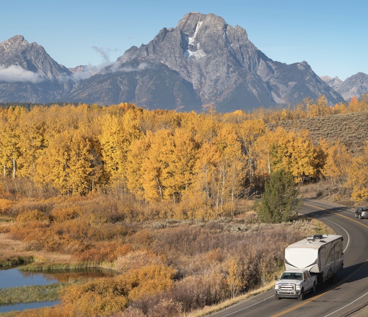
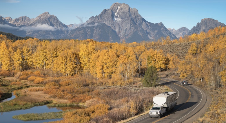
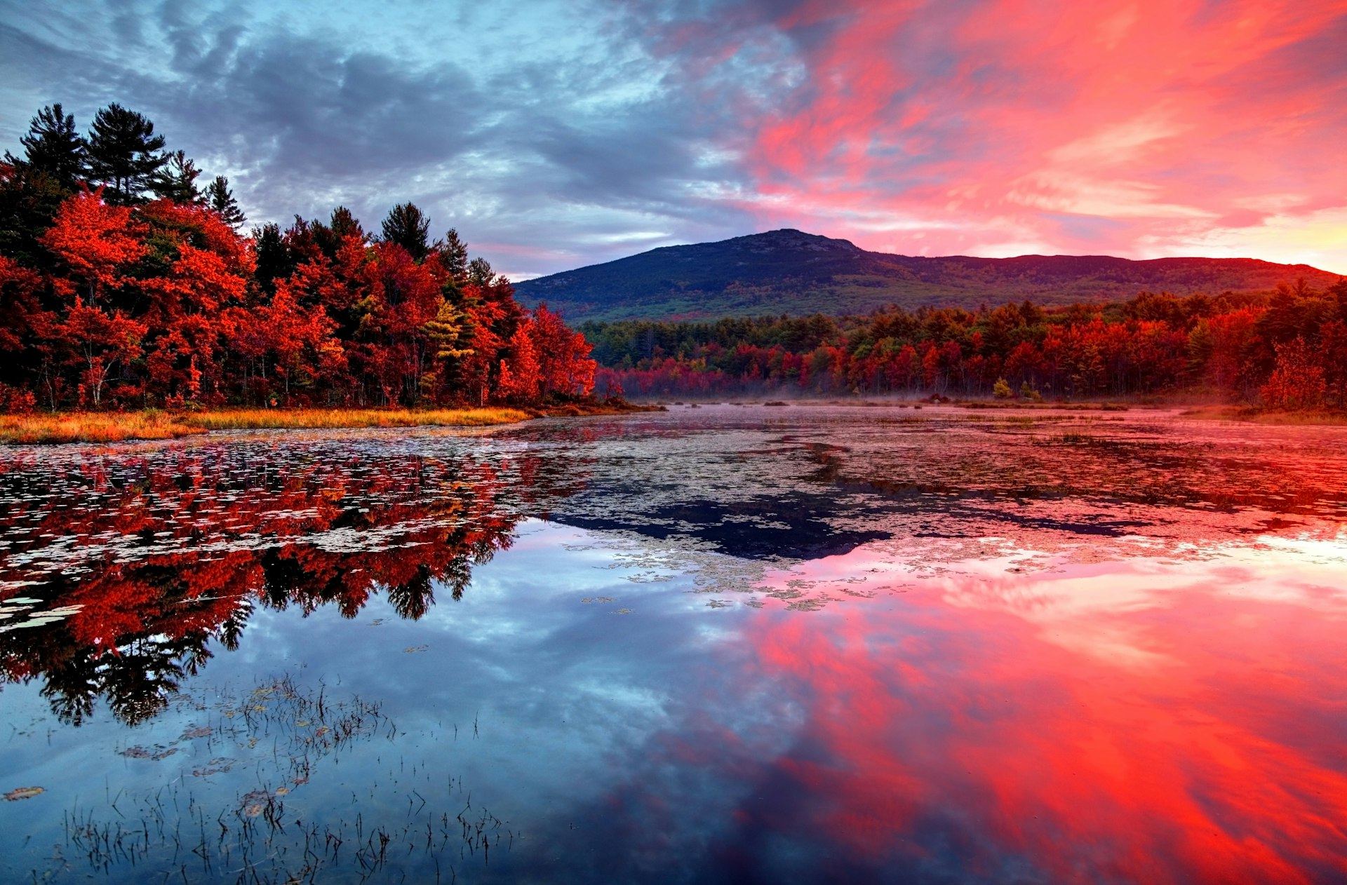
The ultimate New England fall foliage road trip
Historic taverns of the Eastern US: A toast to the past