With 114,000 square miles of canyons, deserts and forests, Arizona is the sixth-largest state in the US, and the country's favorite Wild West wilderness. As you might expect, this is classic driving country, but with decent rail and bus links, there are alternatives to guzzling gas.
Most urban centers in Arizona have passable public transportation systems, but intercity links are more limited. Driving along empty, open roads through lonely ghost towns and landscapes made famous in classic Westerns is still the norm. However, a handful of long-distance buses, trains and light rail services allow for longer excursions by public transport, and taxis and ride-hailing services are great for getting around cities.
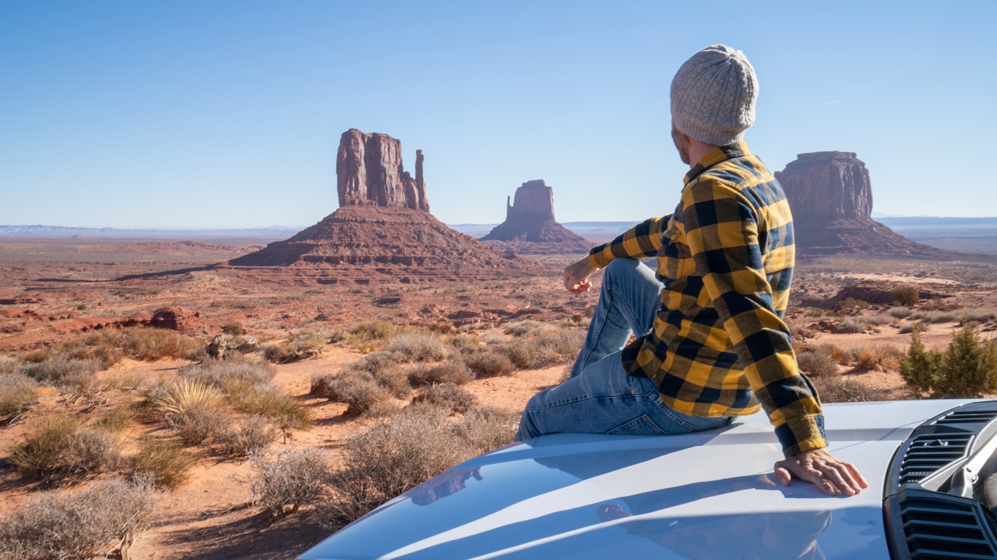
This said, traveling in your own car is still the easiest and most affordable way to experience Arizona, especially if you want to see the sights along Route 66 or seek out prehistoric cave dwellings deep in the desert. Here's our guide to the best ways to get around in Arizona.
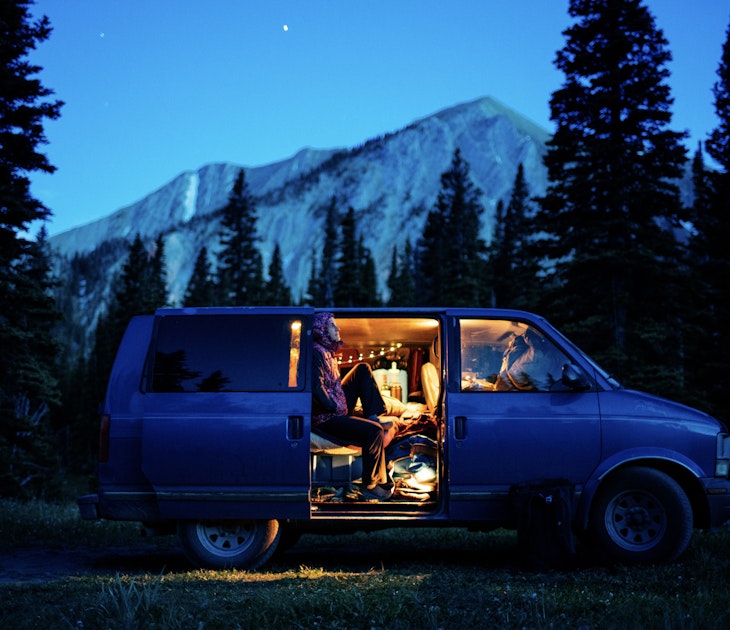
Cars and motorcycles are the classic way to get around in Arizona
All the major rental agencies and Turo (a car-sharing marketplace) operate in Arizona’s big urban centers and tourist hubs such as Sedona and Williams, giving you the freedom to roam this massive state’s most remote quarters. Be sure to shop around before booking; daily rates for renting a compact car (including taxes, fees and unlimited mileage) range from about $85 to an eye-watering $300. Chalk it up to supply and demand – there’s been a shortage of rental cars in some cities since the Covid-19 pandemic.
Arizona’s highways and roads are generally well-maintained but respect the weather. Searing summer temperatures can easily lead to engine overheating, especially when towing trailers uphill. Conversely, the monsoon season (around mid-June through September) can put a big damper on driving. A few dark clouds can suddenly turn into heavy rainfall, creating dangerous flash floods that have claimed the lives of many motorists in the past.
To add insult to injury, Arizona has what has been dubbed the "stupid motorist law." If you ignore warning signs and alerts (emergency messages are often pinged to cellphones) and drive into a flooded area, you may have to pay for the cost of your rescue.
For reasons that have more to do with history than safety, motorcyclists over 18 aren’t required to wear a helmet – and few do. And don’t be surprised to see someone cruising down the highway in a dune buggy; in Arizona, properly licensed and registered off-highway vehicles (OHVs) are street legal.
Buses run between larger cities in Arizona
Most of Arizona’s larger cities have public bus networks, which can be handy, especially when it’s hot. Phoenix’s Valley Metro system has buses that connect with light rail services. Phoenix, Old Scottsdale and Tempe also have free local-area shuttle services (known as DASH, Scottsdale Trolley and FLASH, respectively) that travel between the big sights. However, sustainable public transportation is rarely prioritized in smaller cities or rural areas, so bus routes can be sparse and services sporadic.
If you don't want to drive yourself, the long-distance FlixBus is an affordable alternative to driving between Arizona’s larger cities. It costs about $12 to get from Phoenix to Tucson, for example. The Greyhound is an option too, but routes within the state aren’t particularly geared to tourism. The Trans Canyon Shuttle in the Grand Canyon runs seasonally, traveling the 210 miles between the national park’s south and north rims.
Get around Phoenix and Tucson by light rail and streetcar
The urban sprawl known as Metro Phoenix (encompassing Scottsdale, Mesa, Glendale, Tempe and other cities) covers 14,599 sq miles. Navigating this massive area can suck the joy out of driving, thanks to pushy motorists, traffic snarls and middle turning lanes – frighteningly dubbed "suicide" lanes by locals with a dark sense of humor.
To avoid it all, hop aboard the Valley Metro Rail network ($2 for a one-way ticket or $4 for an all-day pass) to get around central and downtown Phoenix, and further afield to Tempe and Mesa. Trains stop at attractions such as the Phoenix Art Museum and Chase Field and the network's 38 stations are cultural showpieces themselves, featuring $8 million worth of public art.
Arizona’s second-largest city, Tucson, runs the Sun Link Streetcar, a great way to explore five city districts along a 4-mile route with 23 stops. All public transportation in Tucson is currently free – check before you arrive to see if the scheme is still running.

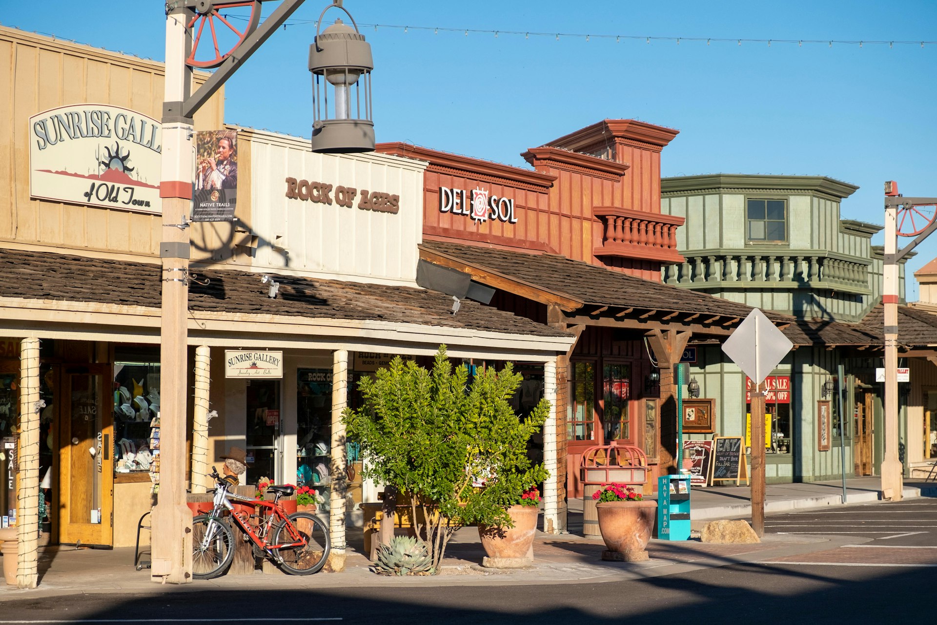
Bikes are a great way to explore Old Town Scottsdale and Sedona
Cars still rule Arizona, but some cities have started to ramp up their sustainable transportation initiatives, making it safer and easier to get around on two wheels. Renting a bike is a great way to discover diverse neighborhoods and explore Arizona up close. Country cycling is also an amazing way to immerse yourself in huge landscapes; Sedona in particular is a major hub for off-road mountain biking.
Phoenix and Tempe have canceled their bike-share programs, but Old Town Scottsdale still has an active bike scheme. Tucson has also embraced the two-wheeled life with its TUGO bike-share scheme. It's an ideal way to check out The Loop, a 131-mile network of multi-use trails that connects the metro area to green spaces, entertainment venues, shopping and more.
Trains connections are sparse in Arizona
Trains are not particularly useful for getting around in Arizona, though Amtrak services between the Midwest and California stop in Flagstaff, Tucson and several other towns. The Amtrak website has a guide to train services in the state.
There are also some fun tourist trains such as the Grand Canyon Railway, operating out of Williams, and the Verde Canyon Railroad, operating from Clarkdale, but they're more rail experiences than a serious means of getting around.
Walking is an option in downtown hubs
Arizonans can’t seem to get enough of hiking, but walking isn’t widely embraced as a means of getting around in town. Perhaps it's the thought of the desert heat when there's an air-conditioned automobile as an alternative. Tempe, Tucson, Phoenix and Old Scottsdale are considered the state’s most pedestrian-friendly urban hubs to explore.
Sedona, too, is stepping up its game with an interactive walking map that lets you plan a self-guided route linking neighborhood restaurants, art studios and museums.
Accessible transportation in Arizona
In Metro Phoenix, the Valley Metro Paratransit system provides an extensive range of accessible travel resources, including ramps, lifts and "kneeling" buses that drop down at stops, making it easier for people using wheelchairs and scooters to board. Similarly, Phoenix's light-rail stations have step-free access at entrances and platforms, allowing easy boarding for the mobility-impaired. Stations also have raised print and braille on ticket vending machines for travelers with visual impairment.
Cities such as Sedona, Tucson and Flagstaff also have special on-demand curb-to-curb shuttle services for people who cannot use fixed-route networks. Some services require you to apply ahead of time to confirm your eligibility, so it’s a good idea to do some research before you travel and fill out any forms required. For more information, see Lonely Planet's Accessible Travel Resources.