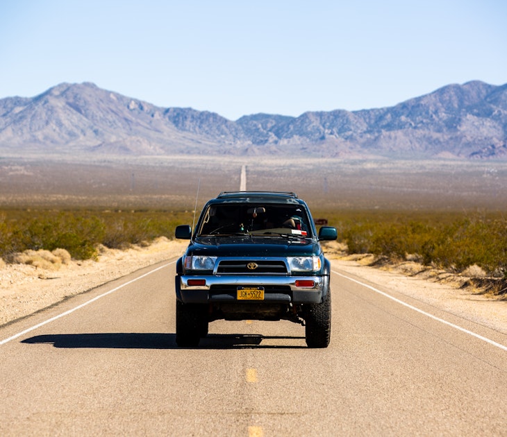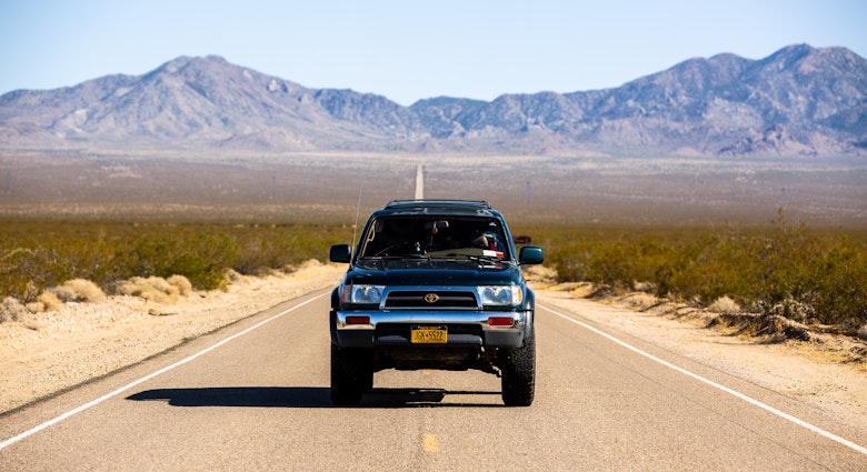
I pause at the deserted gas station at the turnoff from the Klondike Highway onto the Dempster and check my gas tank for the umpteenth time. I’ve been up since dawn in preparation for my journey and am in no doubt about the seriousness of my undertaking. It’s a long and lonely ride to the next pit stop and I’m very much on my own.
I’m no stranger to driving challenging roads. I cut my teeth on Chile’s Carretera Austral when the legendary highway was more pothole than road and drove it in an ancient little Skoda – and even so, the Dempster gives me pause. Before I trade the bitumen of the Klondike Highway for the gravel and shale of the Dempster and point my SUV northwards, I can’t help but recall a line from a Mary Chapin Carpenter Song: “Now it’s too late for turning back/I pray for the heart and the nerve...”
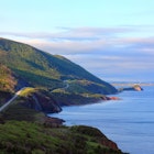
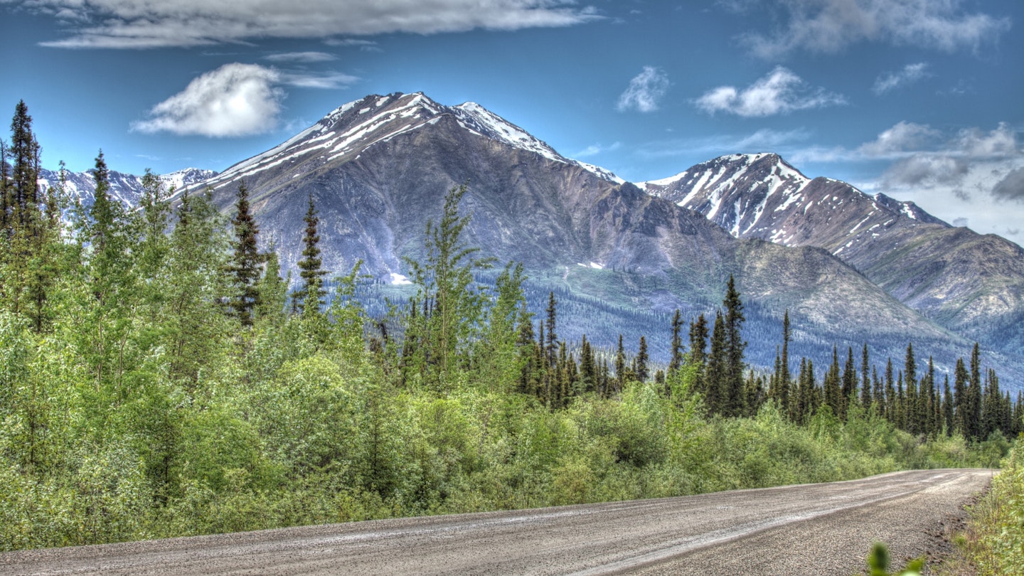
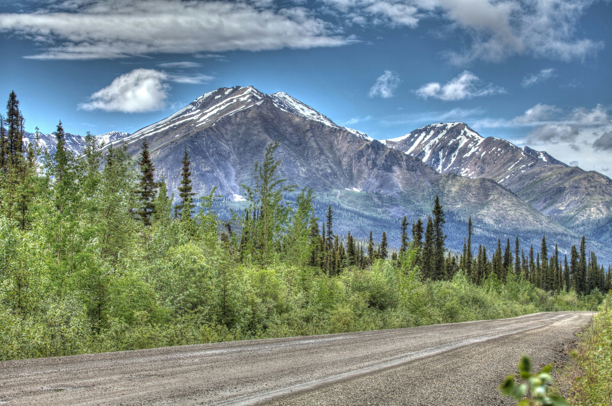
Canada’s legendary highway ribbons its solitary way for some 764km from near the Klondike Gold Rush settlement of Dawson City in the Yukon to Inuvik, the northernmost town in the Northwest Territories. It’s the only highway in Canada to cross the Arctic Circle and, as of 2019, it’s the only road that allows you to drive from mainland Canada, all the way to the shores of the Arctic Ocean. It bisects swathes of virgin spruce forest – and cuts across vast empty spaces of undulating tundra. There are no settlements along the way until you reach the mighty Peel River and the small Gwich’in town of Fort McPherson, some 555 km into the journey, and little signs of human life until you hit Eagle Plains, a motel/gas station combo at Km365, roughly halfway to Inuvik, where I plan to break for lunch.
Related coverage: Never mind the hypothermia – easy winter adventures in the Yukon
Hours fly by in a meditative blur of green spruce that flanks the road on both sides, as I revel in the silence and stillness of the land around me, punctuated only by the gravel flying from beneath my tires. I begin to believe that the challenges of the Dempster have been vastly exaggerated until a sharp beeping from the console shocks me out of my state of complacency. Car rental companies in Whitehorse will only allow 4WD vehicles on the Dempster and my souped-up SUV comes with rudimentary tools in case of (likely) breakdown. Back in the day, the Dempster was covered solely in tire-shredding shale, and drivers brought two spare tires with them. I’ve taken a chance by carrying just one spare tire, and though I theoretically know how to change one, I’d rather not turn my back on the forest due to wildlife concerns. So far I’ve only caught a glimpse of five denizens of the woods – a black mama bear and her three cubs crossing the road some distance away, and a shy wolverine, but this is grizzly bear country as well.

I coast on a near-flat the last 25 kilometers to Eagle Plains, where the mechanic fixes my car and refuels it. There are three RVs parked outside the lonely motel, plus a pair of dusty cyclists adjusting the panniers on their bicycles – the most traffic I’ve seen so far today. One of the most daunting (and exhilarating) aspects of driving the Dempster is the near-isolation; even during the height of summer, you’re unlikely to see more than a dozen motorists during your entire journey and there is no phone signal en route. The hubbub and the exchanged greetings inside the busy diner is a welcome culture shock after hours spent in silence and solitude.
The weather turns as I pull away from Eagle Plains. The Dempster is open pretty much year-round, barring the freezing (Nov-Dec) and the thawing (Mar-Apr) of the Peel and the Mackenzie rivers, and the advantages of travel in winter include a lack of mosquitoes, and often-visible northern lights (but also the chance of freezing if you break down). I’m travelling at the most popular time of year (summer – as opposed to the October to March winter), when there are more fellow motorists to rely on, but the weather is unpredictable at best. Torrential rain turns the unpaved road into a mudslide and it’s all I can do to keep my car steady as it attempts to glide off the side of the road.
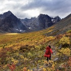
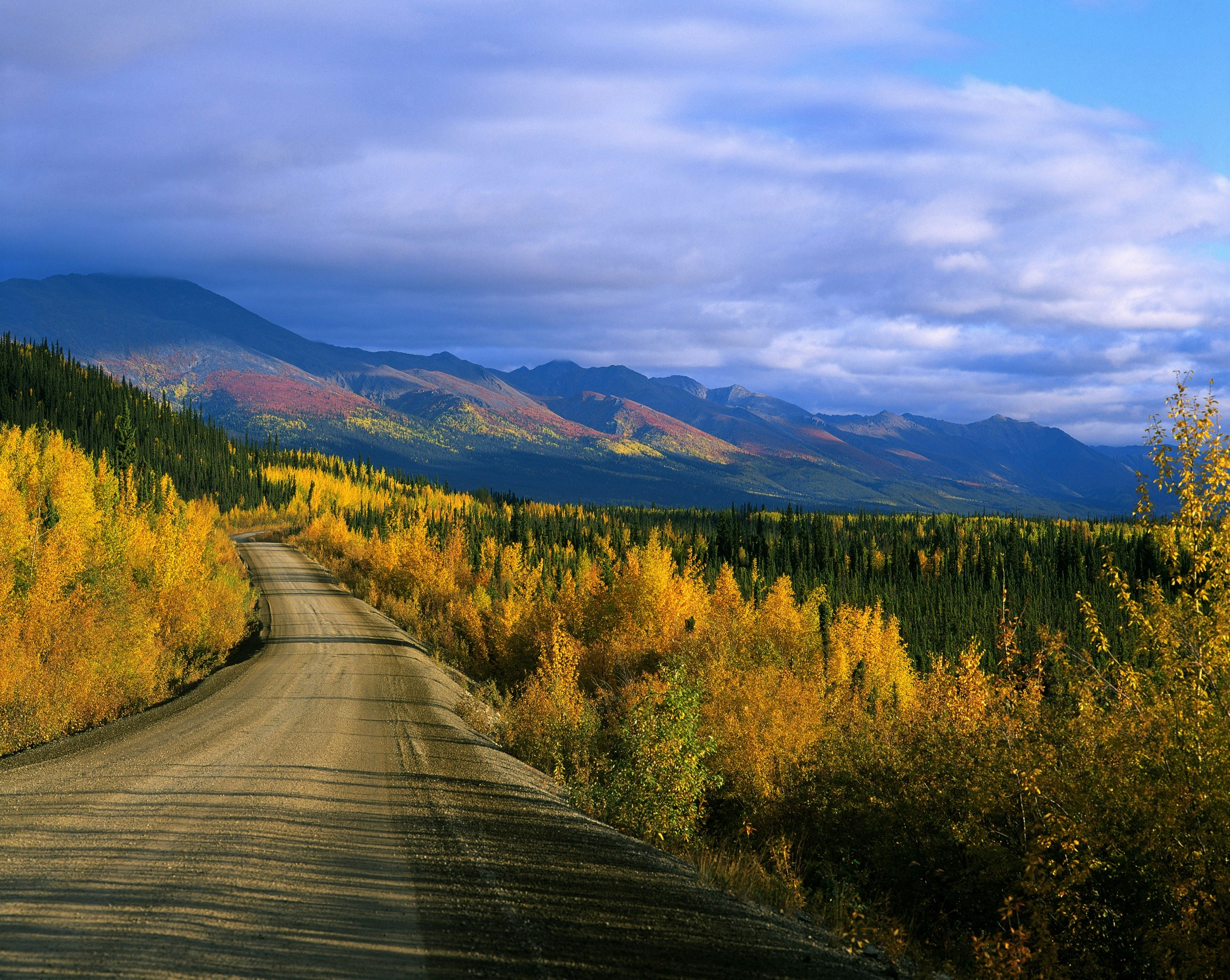
It’s wondrous to watch the changes in the landscape beyond the Arctic Circle. Dense spruce forest gives way to dwarf trees and then the land opens up, suddenly and dramatically, with rolling tundra stretching to the horizon and bare, snow-tipped hills soaring to one side. Then fog descends without warning, and for a short while, I can barely see a few meters in front of me and slow down to a crawl. Out here, you’re very much at the mercy of the elements.
A few more hours and two car ferries later, I finally make it to Inuvik, twelve hours after I’d started out and shaking with exertion.
Days later, I’m retracing my steps, having enjoyed the small-town hospitality of this remote northern town and having driven the new highway that connects Inuvik to the tiny Inuit settlement of Tuktoyaktuk, on the banks of the Arctic Ocean. Three years prior, I’d flown over the tundra, the myriad ice-melt lakes and pingos (permafrost hillocks). So few people get to see these remarkable, unique features of this harsh northern landscape up close; I’m truly one of the lucky ones.
In Fort McPherson, I’m turned away from the car ferry landing. “The water levels are too high.” Ferry service may resume the following day, or not. I’m hugely glad that I allowed myself a couple of extra days for the drive back, but it’ll be tight to make my flight out of Whitehorse. I spend the night in Fort McPherson’s only motel, waiting for word about the ferry. Serendipitously, the delay coincides with the July 1 Canada Day celebrations; locals invite me to join their merry cookout outside the community center, while a Gwich’in teenager paints a maple leaf on my cheek.
Luckily, I’m able to leave the following day, and a reverse blur of tundra, snowy hills, glacial rivers and endless spruce forest follows. I stop to stretch my legs at the entrance to Tombstone Territorial Park, some 70km from the southern end of the Dempster and gaze wistfully at the mountain peaks in the distance, making a silent vow to return one day and camp among its harsh peaks and valleys.
As I near the junction with the Klondike Highway, I smell gasoline and my fuel tank dramatically empties within seconds. Somehow I’ve managed to puncture it on the very last stretch. But luck is with me, just as it has been my entire trip; I’m promptly rescued by a kindly local and given a ride onwards to Dawson City – a fitting end to a dramatic journey that exceeded every expectation.
Produced by Lonely Planet for Travel Yukon. All editorial views are those of Lonely Planet alone and reflect our policy of editorial independence and impartiality.