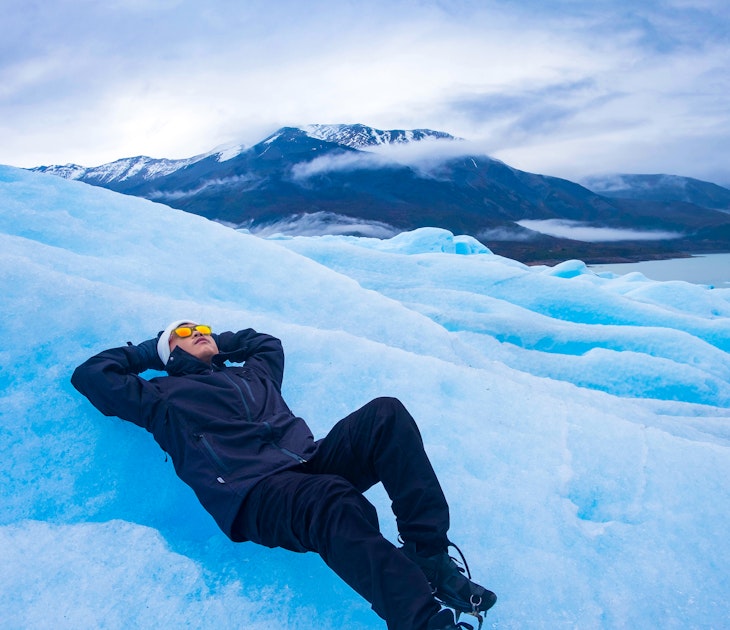
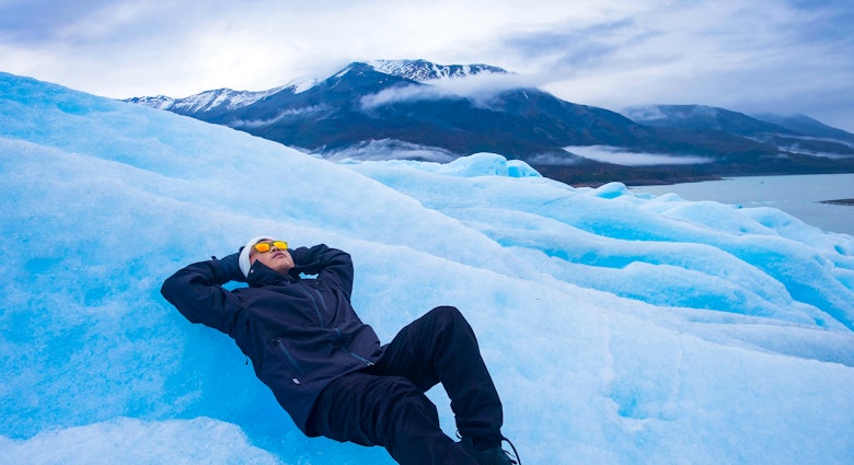
The wilds of Patagonia are no longer a well kept secret, with tourism to awe-inspiring destinations like Torres del Paine becoming ever more popular. But there are still corners that remain relatively untrafficked, and one of these holds a unique superlative – the southernmost trek in the world.
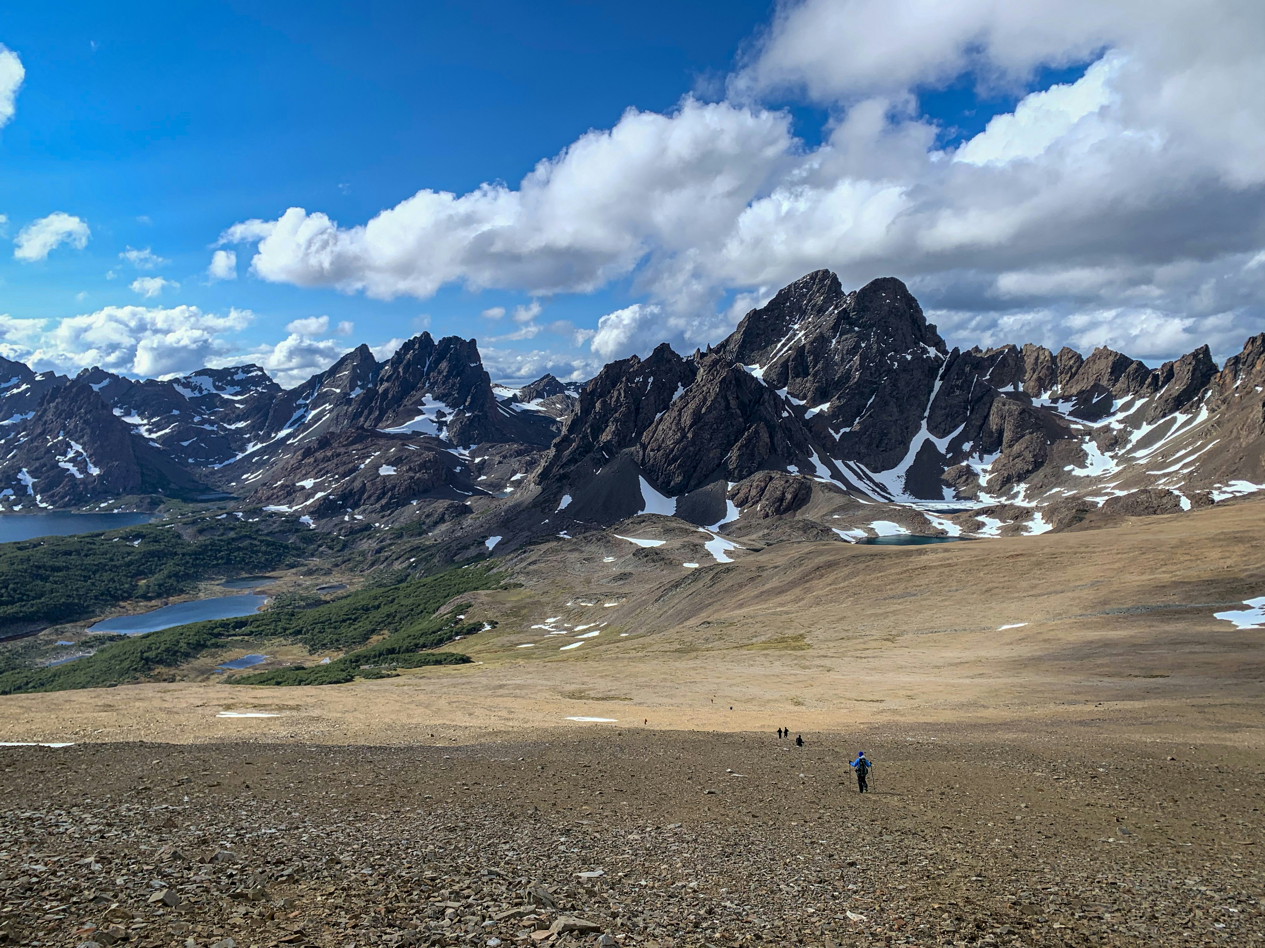
The Dientes de Navarino trek cuts around and through Isla Navarino's 'Teeth' – a jagged mountain range with a striking silhouette sharply rising from the ground. Here, you can test your grit in one of the most unpredictable and remote parts of Chilean Patagonia.
Introducing Isla Navarino
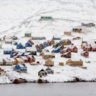
Isla Navarino sits at the southernmost tip of Chile, even further south than the city of Ushuaia, a popular jumping-off point for Antarctic cruises. The island is part of the Region of Magellanes and Chilean Antarctica, and its land is categorized as polar tundra. The journey to get here is half the adventure, and once you arrive the isolation is tangible.
The island’s main outpost, Puerto Williams, huddles along the edge of the glassy Beagle Channel, a small, lonesome cluster of weathered buildings punctuated by a couple of ecolodges and a marina. The Dientes trail starts right in the town’s backyard, its first leg a popular day hike for locals.

Why go?
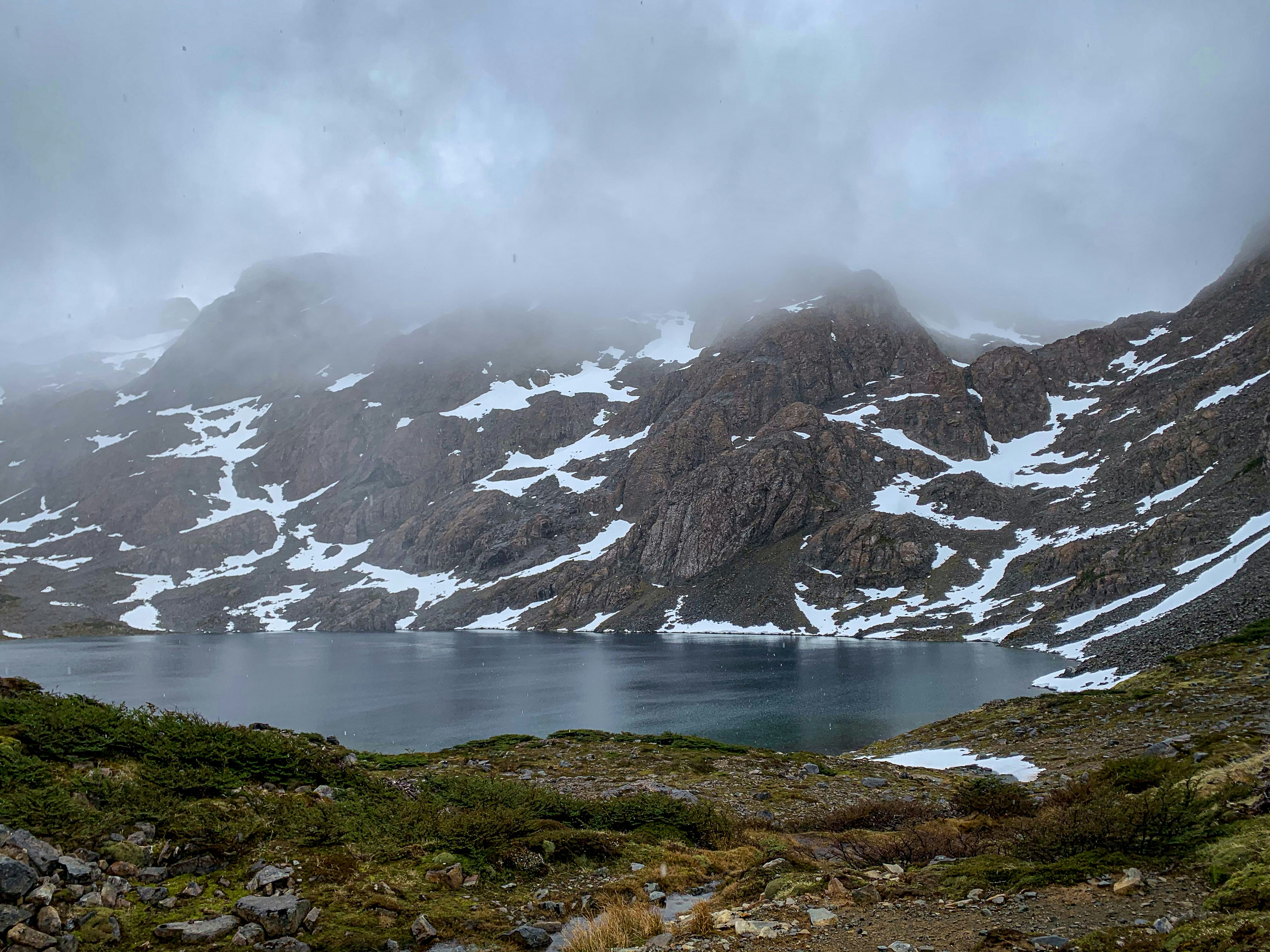
Beyond checking an item off your bucket list, why should the Dientes trek be on your radar? Sometimes hikes are beautiful, but you have the same view the entire time – not the case with Dientes. The sheer variety of landscapes you’ll encounter along the trail is the selling point; each day yields a view that contrasts with the one before it. Valleys full of gnarled lenga trees, snow-covered passes, lagoons with waves releasing mist into the wind, rocky balds and striated mountain peaks of varying color and size loom around every corner. If you’re a sucker for big views and enchanting details, this is the trek for you.
Trek details
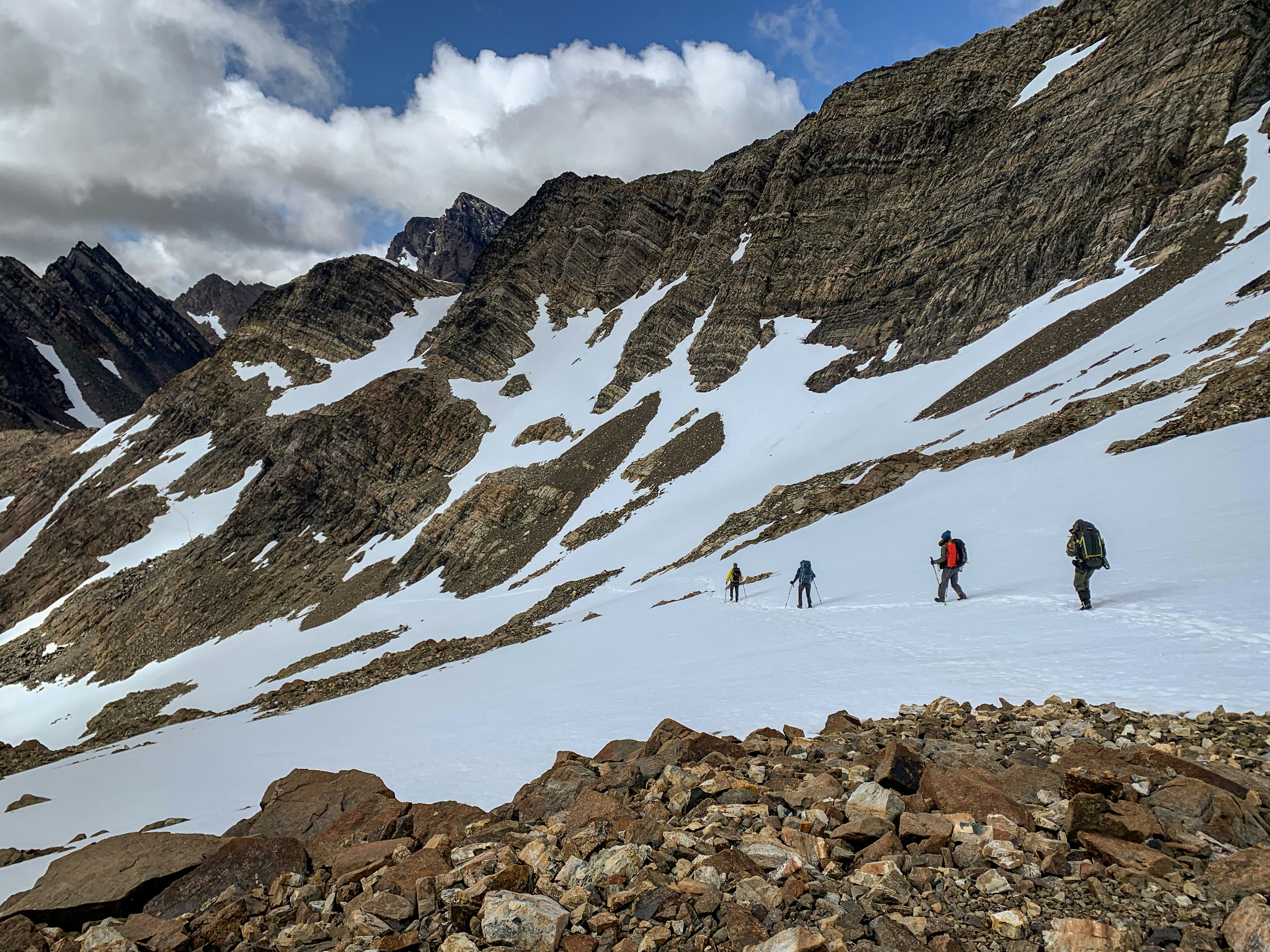
This is a 53km trek that, depending on your pace, can take anywhere from four to five days to complete. We recommend taking your time, as the distances are long and the views expansive. Where’s the fun in rushing? Campsites are dispersed over the course of the trek, but there are no amenities or refuges on the trail – everything needs to be carried in and out with you, including a very sturdy tent.
The altitude here is not very high (the highest point only hits 859m), but each day accumulates a fair bit of elevation gain as you hike up and down the passes. Distances between official campsites range from 8–12km.
The prime time to hit the trail stretches between the months of December through March – the Patagonian summer – but this isn’t a total guarantee for good weather. The climate here is volatile thanks to the hard winds crisscrossing the island from three separate directions; in one day you might experience snow, sleet, rain and sunshine.

Guide or no guide?
There’s no sugarcoating it – this trek is difficult. While it can be done independently, we highly recommend enlisting the help of a guide unless you are a very experienced trekker.
The terrain is challenging, ranging from shifty rock shards to unstable boulders to mucky mud up to your knees. Strong ankles and knees are a prerequisite and even then the potential for injury is significant. Having someone there trained in safety protocols is always a plus.
Besides the physical toll of the trek, the trail itself is also more of a shadow than a well marked path in many places. It’s very easy to lose track of where to go, especially in the snowy and rocky parts, and there’s always the threat of even more snow falling to obscure the way.
And if you’re thinking about trying to complete this trek alone, nix that idea. Groups are the best way to go in case of emergency.
Do I need a permit?
You do not need a permit in advance to hike the Dientes de Navarino trek, but you do need to check in at the police station before you set out. Here you’ll provide your personal information and your planned return date, so they know to look for you if you haven’t checked back in by that time.
What should I bring?
Dientes poses a packing challenge because you want to be prepared, but you also want to make sure you pack light. In addition to your normal trekking gear, gaiters, hiking poles and waterproof boots are an absolute must. For more on what should make your packing list, check out our review of gear tested at the ends of the earth.
You might also like:
10 things to do in Patagonia
Chilean Patagonia: wildlife spotting in the Torres del Paine National Park
Bailey Freeman travelled to Chile with support from the Chilean Tourism Board. Lonely Planet contributors do not accept freebies in exchange for positive coverage.