When you wander beyond the urban edges of Sedona, the landscape reveals clues to the area’s evolution. Discover secret swimming holes, bridges shaped from sandstone and enigmatic rock art created by prehistoric peoples who traveled light and left few traces behind before they suddenly disappeared. According to archeologists, Palatki Heritage Site (and sister site, Honanki) have the largest panels of pictographs in the Verde Valley.
Located in the Coconino National Forest, Palatki isn’t just a man-made marvel composed of cliff dwellings and rock art dating back to the archaic period 3000 to 6000 years ago. It’s also a working archeological site where experts continue to decode evidence of all the indigenous cultures to have ever occupied this region of Central Arizona.
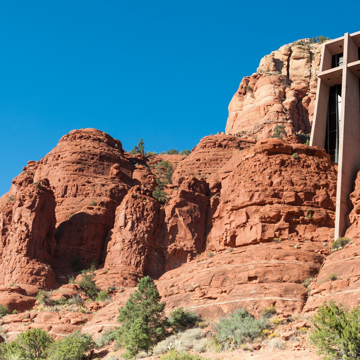
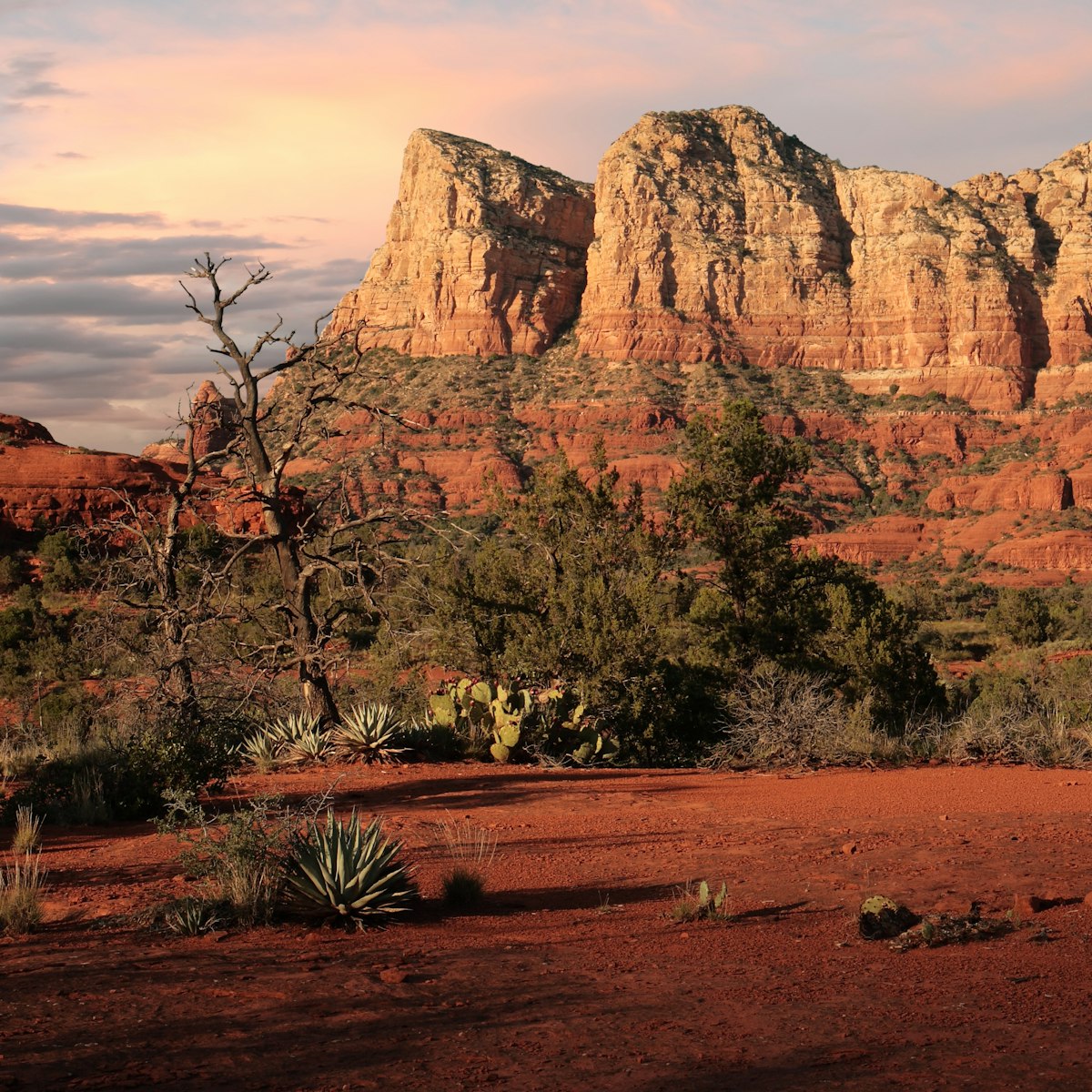
When driving the rough road to Palatki, flanked by hulking red rocks, prickly pear cactuses and stream beds split open by flash floods, it’s hard to imagine the resilience of these peoples who eked out an existence in the high desert thousands of years ago. Summer brings triple-digit temperatures. In winter, Sedona’s 5000ft monoliths are often mantled with snow. But when the rutted gravel road ends at Palatki Heritage Site, this mystery is unravelled on a tour led by U.S. Forest Service staff.

History
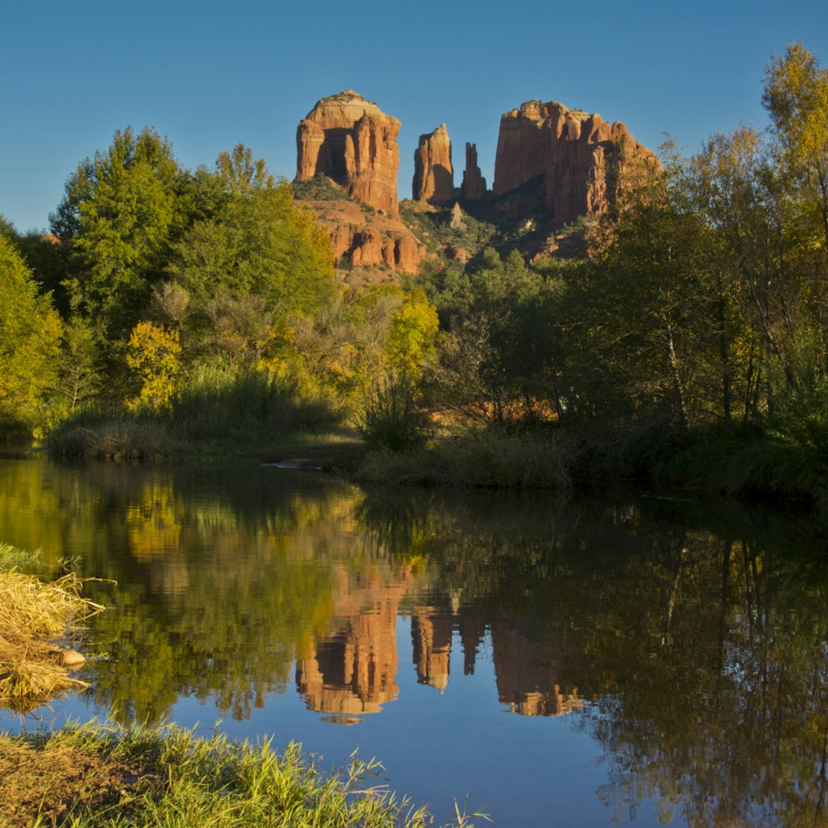
Three-million years ago, Red Canyon, where Palatki is situated, was composed of shallow ocean inlets and swampy river deltas, where sand was deposited. Sculpted by water and wind, the box canyon’s iron-rich Supai sandstone creates its signature red and orange hues. It’s here where the Sinagua peoples built and lived in the cliff dwellings at Palatki. But they were not the only ones to have painted symbols on the stone. The Hopi, Apache, Navajo and Yavapai also left their marks.
Besides this shelter, the canyon’s wild plants and animals sustained the Indigenous peoples for thousands of years. Seeds, berries and plants, including walnut, agave, yucca, prickly pear cactus and pinyon pine were harvested for food and medicine and processed with tools such as metates, or grinding stones. Agave plants were trimmed with long flake-stone knives. Fire-roasting the hearts was both nutritional sustenance and communal ritual for the Apache and Navajo people. They also hunted deer and antelope.
Although this important site has been here for millennia, the Smithsonian Institution’s Dr. Jesse Walter Fewkes, a noted American anthropologist and archaeologist, was the first non-indigenous person to fully survey Palatki (he named it for the Hopi words “red house”) in 1895 and again in 1911. Fewkes had been studying the lifestyles, rituals and migration traditions of the Zuni and Hopi people in the American southwest and lobbied governments to protect ancient Indigenous sites, including Palatki and Honanki.
More than a decade later, one of the first Euro-American settlers arrived at Palatki. Charles Willard purchased property here in 1924. Until he built his ranch house (now the visitor center) a year later, Willard took up occupancy alone in a cave alongside the rock art alcoves, furnishing it with a table, stove and bed. He planted fruit orchards and vegetable gardens and lived at Palatki until 1938.

Cliff-dwelling ruins
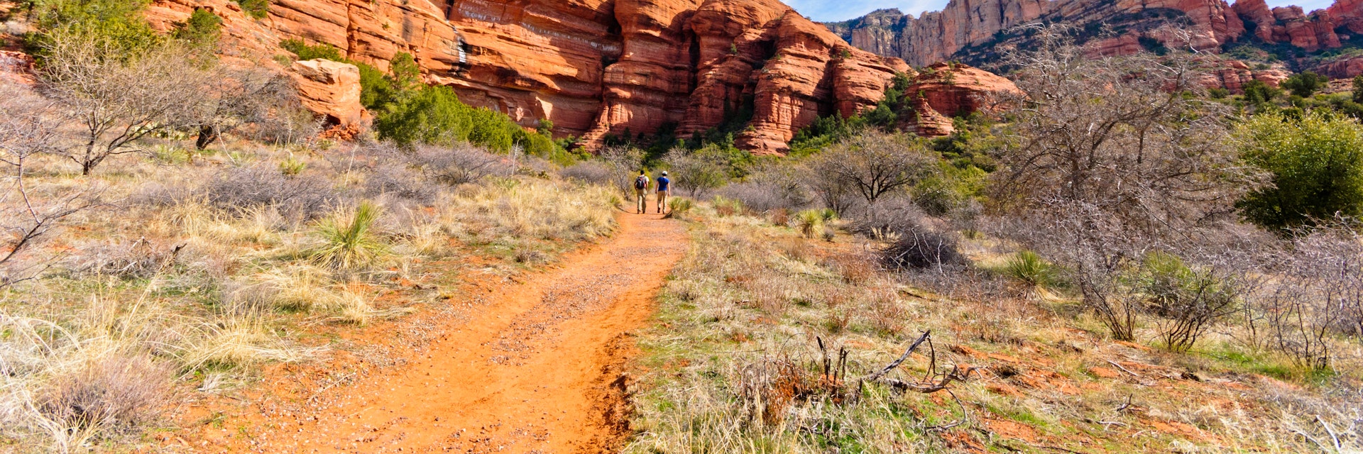
A trio of trails from the visitor center weave among the moonflower and horse nettle to Palatki’s main sites situated in the shadow of Red Canyon’s cliffs. At the top of the steep 0.1 mile Palatki Ruins Trail lie the remains of cliff dwellings built and occupied by the Sinagua between 1100 and 1275 CE. Archeologists believe it was one of their largest and most important communities.
The three-story dwelling’s walls are made of Supai sandstone and each of the two rooms likely housed a single family. An estimated 60 to 80 people lived here. Now long-gone, the 12-inch thick rooftop would have been fashioned from wooden beams and branches and covered with grass and mud. When the light is right, you can see the outline of a clan symbol and even fingerprints. A midden (a primitive garbage dump) excavated here revealed relics such as agave pieces, corn cobs and pottery shards.
The Verde Valley’s history winds back even further. Its earliest inhabitants lived here a staggering 12,000 to 20,000 years ago. The fertile land has long supported the Sinagua people, whose name is a portmanteau of the Spanish words sin (without) and agua (water). They’re believed to have lived in the valley from as early as 650 CE. Little is known about their migratory patterns since the Sinagua had no written language as far as we know. But according to the oral traditions of their Hopi descendants, they may have left Palatki for nearby Tuzigoot and Montezuma Castle because of disease, lack of water or conflict with other Indigenous peoples. By 1450 CE, the Sinagua had completely vanished from the Verde Valley.

Rock art up close
Like a handful of pages torn out of a novel, the rock art in the cliff grotto and alcoves are a palimpsest of symbols telling an incomplete story written by untold authors over thousands of years. Archeologists are currently conducting dust studies, essentially recreating the pictographs with the same substances, to piece together a more complete narrative.
Unlike petroglyphs, which are symbols scratched or carved into stone, pictographs are painted on the surface using natural pigments. In the grotto, a big red zigzag gets its color from minerals mixed with animal fat, likely deer or bear. What does it mean? Maybe it’s a mountain? No one knows for sure. However, vertical waves signify water and a row of inverted Vs works as a sundial when aligned with the mountain peaks. The antelope drawings in white were made by the Yavapai. And archeologists are calling the pictograph next to a black ladder symbol “man on a horse.” They know it was drawn after 1583 because when the Spanish colonizers invaded (they introduced horses to the mainland Americas in the 16th century), they scratched the year into the sandstone.
To the right of the grotto is an alcove with a circular area outlined with stones, which was used as a pit for roasting agave. Here, the animal pictographs are black from soot. And farther along the cliff ledge is Willard’s cave house. It’s closed to the public to protect its new inhabitants — bats — possibly an endemic species. Every angle and crag of these stone walls presents another zigzag, line or ladder and an opportunity for archeologists to piece together the story of the people who lived in Palatki so long ago.

Plan your visit
To visit Palatki Heritage Site, you must call ahead (928-282-8354) to book a reservation, which includes an hour-long guided tour. Palatki is open daily from 9:30am to 3pm (the last tour is at 2pm) and closed on Thanksgiving and Christmas. Arrive at the visitor center at least 10 minutes before your tour time, or earlier to explore the history of the site and see artifacts such as arrows and tools.
Palatki Heritage Site can only be accessed by a rough, gravel forest service road, so a high-clearance vehicle is recommended. There are several routes to take from Sedona.
There’s no admission fee for the site itself, but unless you hike in or get dropped off here, you’ll need to display a Red Rock Pass, which you can purchase at the site ($5 for the day). Pets are not allowed in the park beyond the parking lot.