Getty Images/iStockphoto
Bhutan
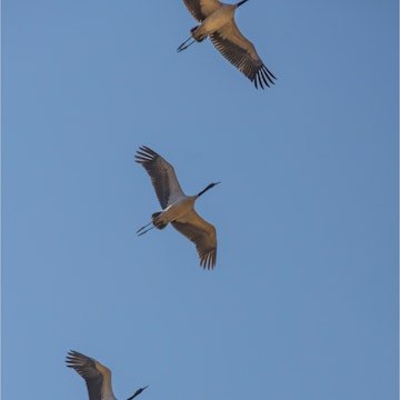
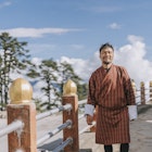
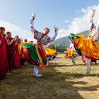
Bhutan is no ordinary place. It's the last great Himalayan kingdom, shrouded in mystery and magic, where a traditional Buddhist culture carefully embraces global developments.
Attractions
Must-see attractions
Western Bhutan
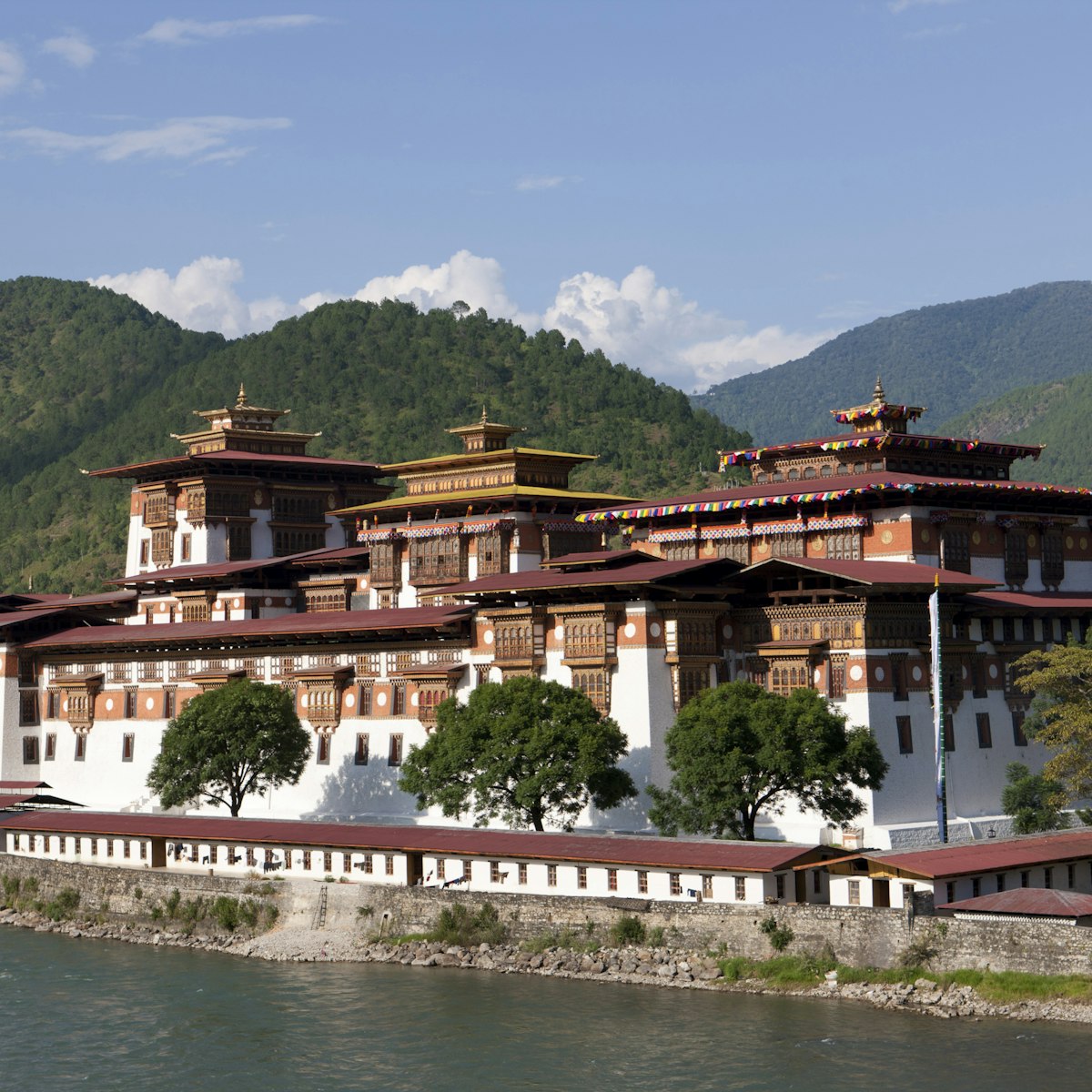
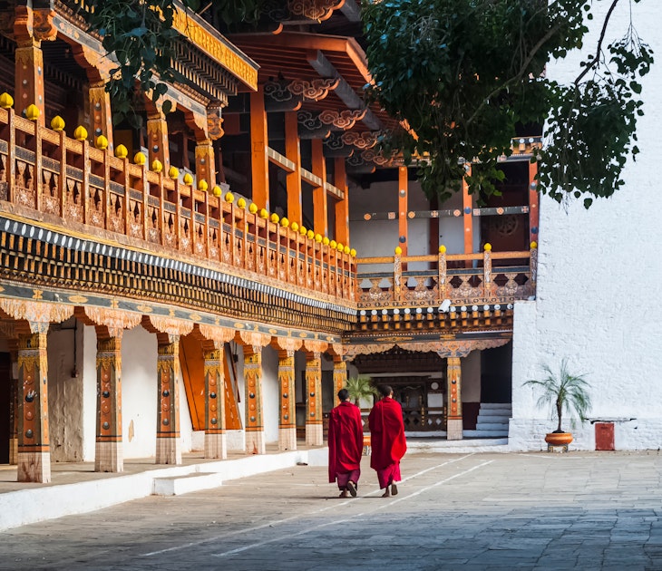
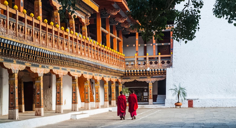
Punakha Dzong is arguably the most beautiful dzong in the country, especially in spring when the lilac-coloured jacaranda trees bring a lush sensuality to…

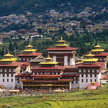
Thimphu
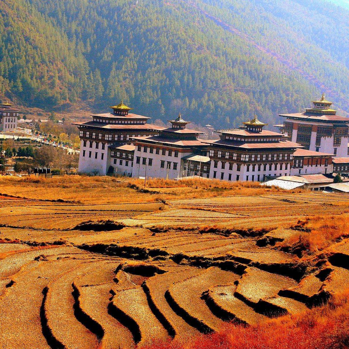
This splendid dzong, north of the city on the west bank of the Wang Chhu, dominates the valley, looking out over a cascade of terraced fields. It's…
Western Bhutan
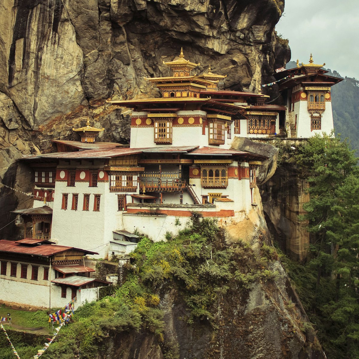
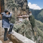
The 'Tiger's Nest Monastery' is one of the Himalaya's most incredible sights, miraculously perched on the side of a sheer cliff 900m above the floor of…
Bhutan
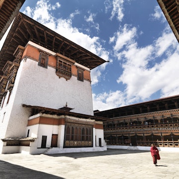
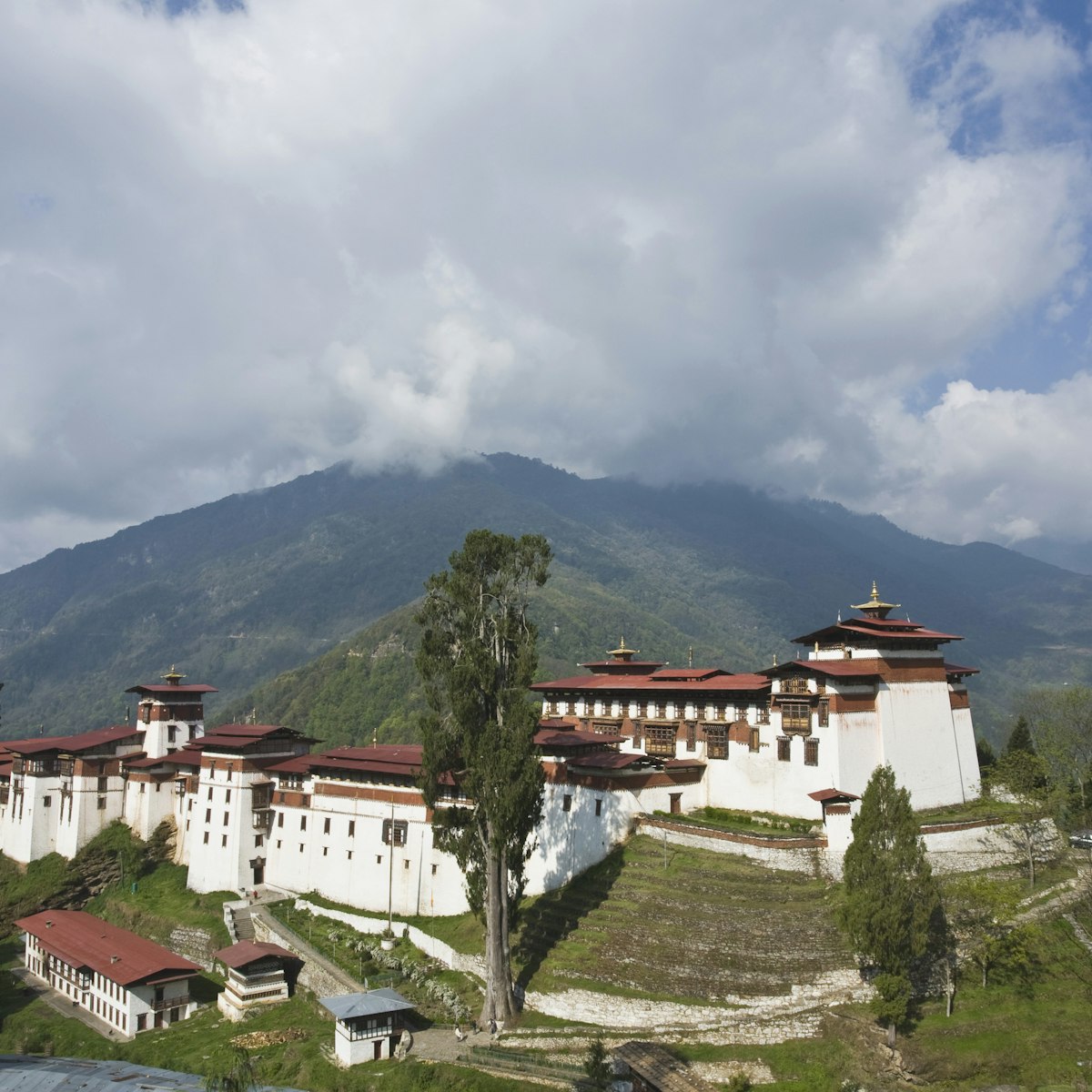
This commanding dzong, high above the roaring Mangde Chhu, is perhaps the most spectacularly sited dzong in Bhutan, with a sheer drop to the south that…

Western Bhutan
Kyichu Lhakhang is one of Bhutan's oldest and most beautiful temples. The main chapel has roots as far back as the 7th century, with additional buildings…
Thimphu
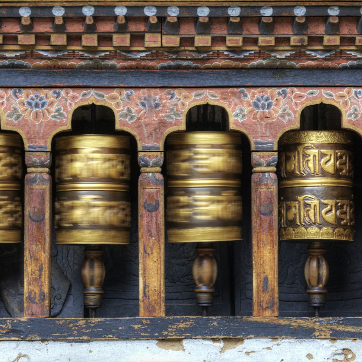
This traditional Bhutanese temple perched like a fortress on a ridge above central Thimphu hums with pilgrim activity. It was established in the 12th…
Thimphu
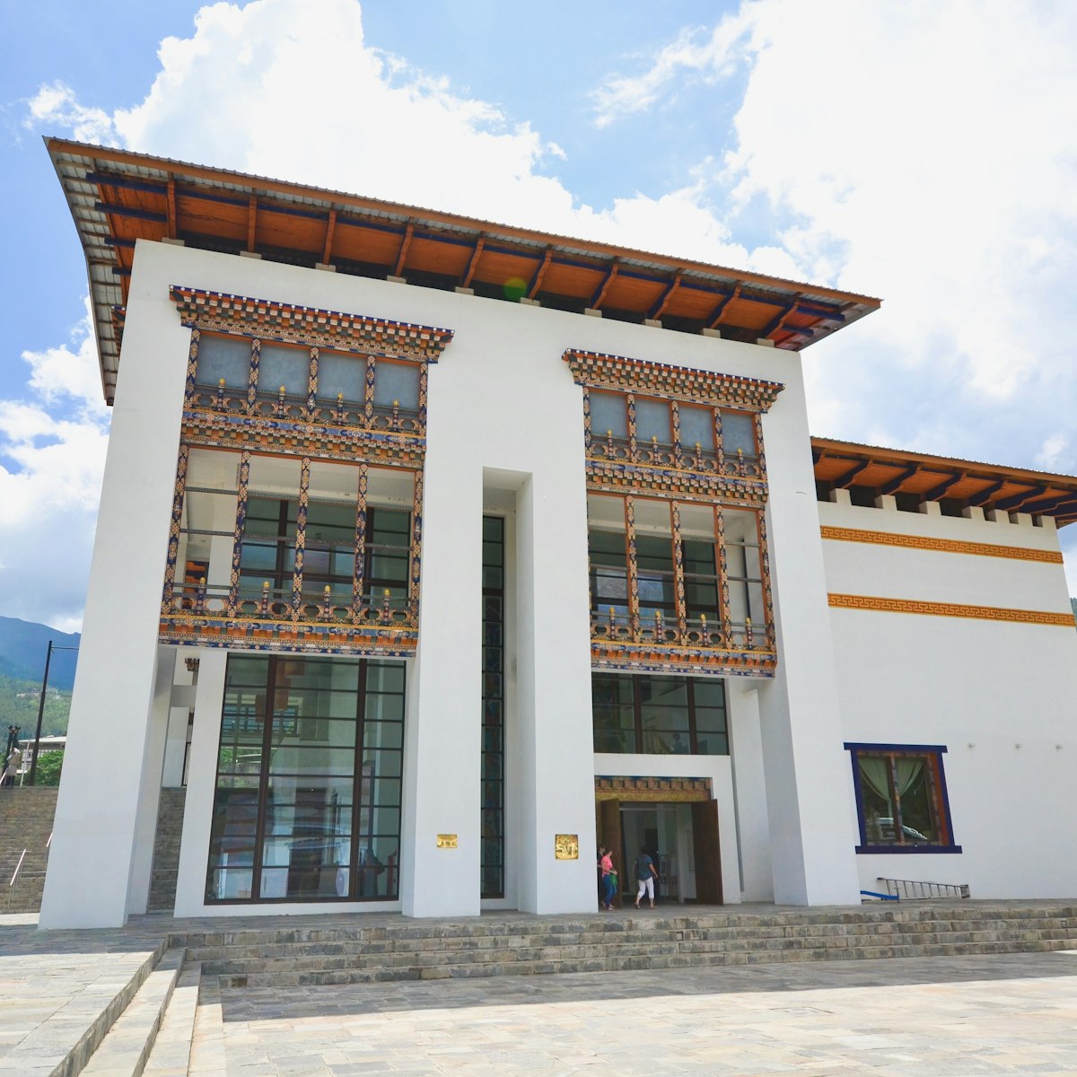
Thimphu's best museum is part of the Royal Textile Academy. It features a stunning display of ancient and modern textiles, and explores the rich…
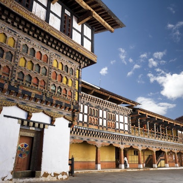
Paro
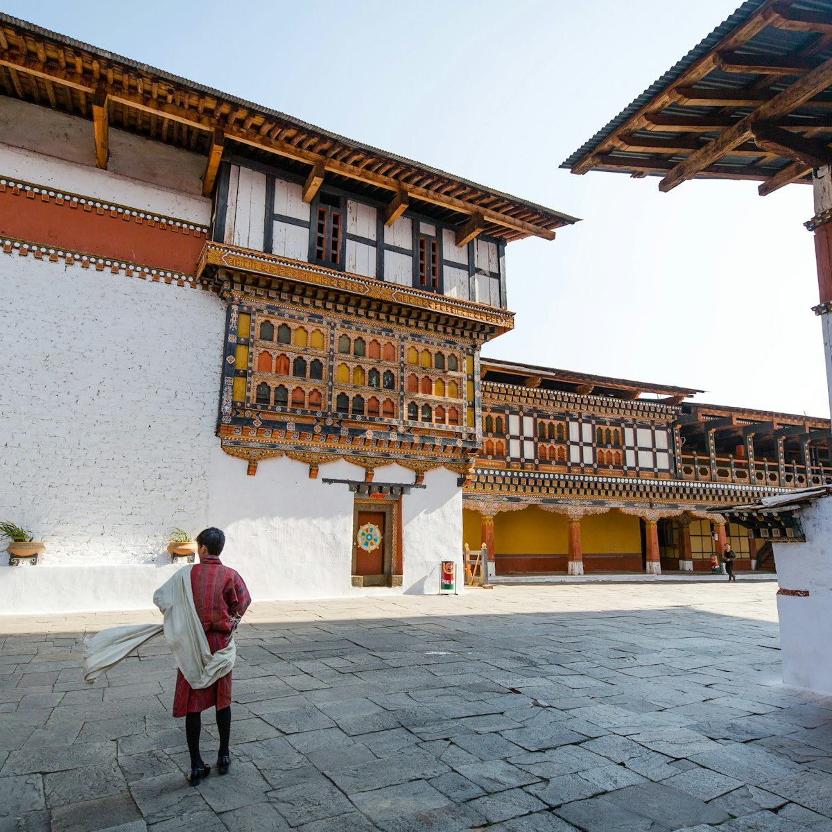
Paro Dzong ranks as a high point of Bhutanese architecture. The massive buttressed walls that tower over the town are visible throughout the valley,…
Attractions
Top picks from our travel experts
12 best things to do in Bhutan
Curated by Bradley Mayhew
Western Bhutan
The visually splendid but little-visited cliffside retreat of Dzongdrakha Goemba is one of several local sites where Guru Rinpoche did battle with local…
Paro
Paro Dzong ranks as a high point of Bhutanese architecture. The massive buttressed walls that tower over the town are visible throughout the valley,…

Thimphu
Thimphu's premier live-music venue and bar, strong on blues, rock and reggae, and friendly to boot. Beers on tap include Amber Ale and Dragon Stout from…
Thimphu
This traditional Bhutanese temple perched like a fortress on a ridge above central Thimphu hums with pilgrim activity. It was established in the 12th…
National Institute of Traditional Medicine
Thimphu
Established in 1978, this institute collects medicinal plants from remote corners of the Bhutanese Himalaya, and distributes pills, ointments and…

Thimphu
Perched beside a peaceful stretch of the Wang Chhu, about 7km south of Thimphu, Termalinca packs a lot of comfort into its stone and timber buildings…

Thimphu
This is one of Thimphu's best cloth and clothing stores, with ready-made ghos (traditional dress for men) costing from Nu 2000 and kiras (traditional…

Thimphu
A lively basement club (entry Nu 300 to 350), with live music and thumping electro beats courtesy of local DJs. It's downstairs in the same building as…
Thimphu
Most days of the week you'll find arrows flying at the city's most important archery ground, just down from Changlimithang Stadium. Teams compete to hit…
Western Bhutan
For a fabulous trip into the dreamlike miracle world of Bhutan's sacred geography, budget a day for a hike up to one of Bhutan’s most famous ney (sacred…
Western Bhutan
The 'Tiger's Nest Monastery' is one of the Himalaya's most incredible sights, miraculously perched on the side of a sheer cliff 900m above the floor of…
Planning Tools
Expert guidance to help you plan your trip
Best Things to Do
Bhutan is an incredible country full of life-changing experiences. Here are 12 of our favorites that will ensure a trip you'll hold dear forever.
Read articleThings to Know
This quick guide navigates the cultural landscape, customs and quirks of the country known locally as Druk Yul, the Land of the Thunder Dragon.
Read articleTransportation
Find your way around the fascinating Kingdom of Bhutan with our guide to your transportation options.
Read articleVisa Requirements
Almost certainly yes. And you’ll need to make many more arrangements prior to your trip to Bhutan, too.
Read articleMoney and Costs
These top tips along with a guide to daily costs can help you plan your budget for a visit to Bhutan.
Read articleTraveling with Kids
In Bhutan, a country that values happiness above everything else, children are welcomed with open arms. Plan your family trip with our guide.
Read articleBest Road Trips
Any road trip through the beautiful Himalayan valleys of Bhutan ranks as one of travel’s most exciting adventures. Here are five of the best.
Read articleArticles
Latest stories from Bhutan
Filter by interest:
Destination Practicalities
23 essential things to know before visiting BhutanFeb 2, 2024 • 15 min read
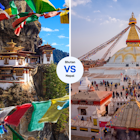 Local VoicesBhutan vs Nepal: which slice of south-central Asia is best for you?
Dec 20, 2023 • 7 min read
in partnership with getyourguide
Book popular activities in Bhutan
Guidebooks
Purchase our award-winning guidebooks
Get to the heart of Bhutan with one of our in-depth, award-winning guidebooks, covering maps, itineraries, and expert guidance.