Chattanooga has long been famous as a transportation hub – this is the city, after all, made famous when Glenn Miller and His Orchestra wrote "The Chattanooga Choo Choo" about the city's train station for the 1941 movie musical Sun Valley Serenade.
But even though the Choo Choo is now a hotel and hasn't hosted a locomotive in decades, Chattanooga is still an easy-to-access travel destination thanks to its expanding airport and its location at the nexus of several state and federal highways.
Indeed, Chattanooga was the headquarters of one of the early auto clubs dedicated to building one of the country's first interstates – the historic Dixie Highway, which ran from Chicago to Miami. It's still easy to get around by car, but the city's environmental pedigree is best backed up by the free electric shuttles that connect Chattanooga's buzziest tourist districts, as well as a slowly expanding bus network. If you're curious how to navigate Chattanooga while you're visiting, we have all the details on how to get around the Scenic City.
By car
Chattanooga is right on the Georgia border, two hours from Atlanta as well as Nashville, Knoxville and Birmingham – and it's at the intersection of Interstates 75, 24, and 59 as well as US Route 27, and State Routes 153 and 319 (known locally as DuPont Parkway).
Some of the major arteries in town have roots that long predate Chattanooga's founding – State Route 58 (known locally as Amnicola Highway) cuts through what used to be a complex of burial mounds constructed during the Mississippian period by the Indigenous tribes who preceded the Cherokee. Parts of State Route 17, better known as Riverfront Parkway, were on the Trail of Tears along which the Cherokee were force-marched to Oklahoma following the passage of the Indian Removal Act.
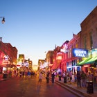
The confluence of major highways means it's fairly quick and easy to get to most parts of the city, including the outlying suburbs of Hixson, Harrison and Ooltewah. That said, traffic jams usually back up around rush hour through the narrow bottle neck known as the Ridge Cut, where I-24 squeezes through a portion of Missionary Ridge blasted away in the mid-1960s. It typically takes 10-15 minutes to drive between the city's more central neighborhoods popular with visitors even if you stick to surface roads. Traffic can also get backed up on a few narrow streets through buzzy parts of town like Frazier Avenue / Manufacturers Road and Market Street, where development and public favor have increased rapidly in recent years.
The best day trips from Chattanooga, Tennessee
By public transit
Most travelers will be well-served by the free electric shuttle that runs from the North Shore neighborhood across the Tennessee River from downtown through the central business district and on to the Southside and St. Elmo neighborhoods at Chattanooga's southern end. The central hub for these shuttles is the Chattanooga Choo Choo, and you'll need to transfer there if you're trying to ride the whole length of the route. Stops are lightly covered and well-marked, and service is every 10-15 minutes 8am till 10:45pm weekdays and 9:30am to 10:45pm on Saturdays and Sundays.
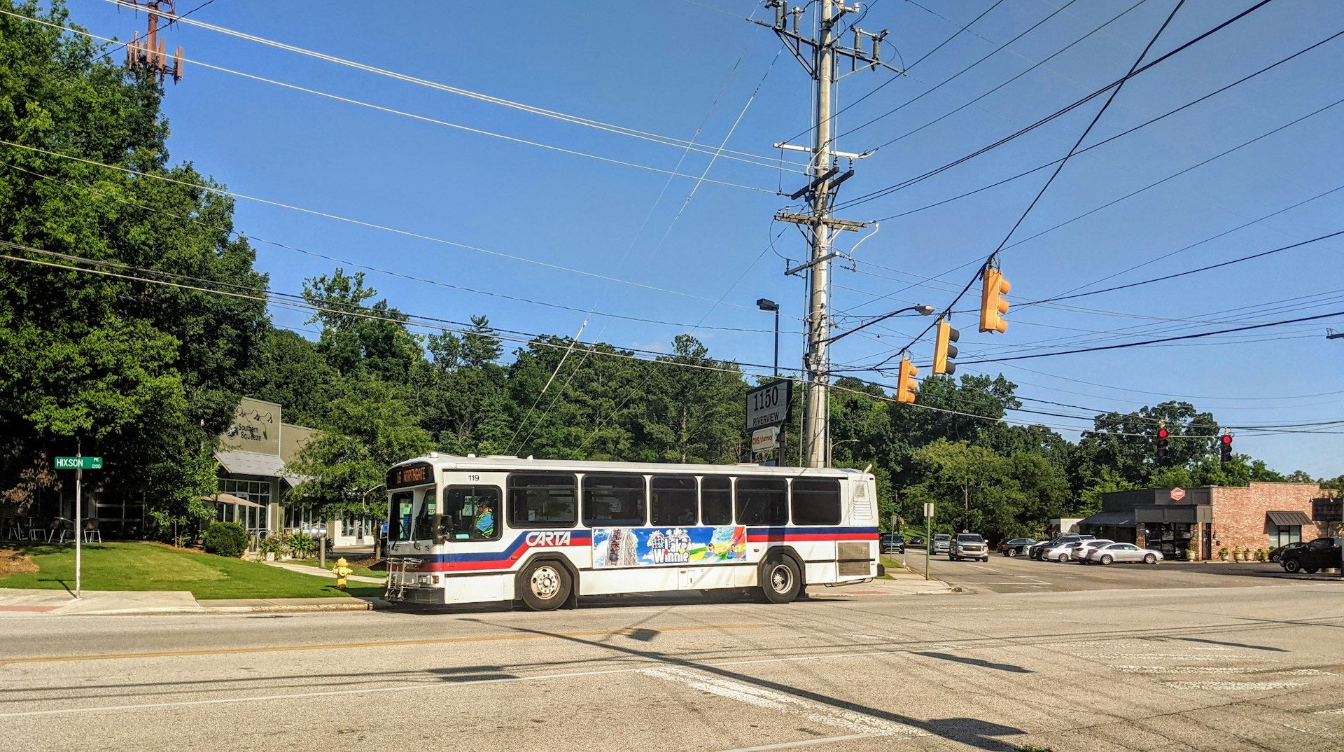
As for Chattanooga's public bus service, it primarily serves blue-collar commuters rather than travelers, although CARTA has tried to woo downtown office workers in recent years with nice amenities like on-board wi-fi. Bus stops are rarely sheltered, and are instead marked with signs every block or so on downtown routes, and less frequently in the outer suburbs.
The bus is a pretty quick and convenient way to get around downtown, the MLK neighborhood near the University of Tennessee at Chattanooga campus, and into former trolley suburbs like Highland Park and Orchard Knob. It gets less reliable further out into the broader metro area, including the route to Northgate Mall in Hixson and Hamilton Place Mall in East Brainerd.
The most useful bus lines for visitors include route 4, which runs from Hamilton Place Mall in East Brainerd down McCallie Avenue through Highland Park and Orchard Knob, past the University, and into downtown near the Aquarium. Route 14, also called the Mocs Express, serves the university campus and also connects it to Finley Stadium on the Southside. It's free for students to use the Mocs Express, though others will be charged a regular bus fare. Route 28 connects downtown to attractions further out like Tennessee River Park.
You can plan your route and even track when the next bus is expected at a particular stop using online tools available on the CARTA website or CARTA's own transit app. A one-way fare is $1.50 for adults, and $.75 cents for seniors over 65, students and riders with disabilities. Unless you have a reusable transit card like the 24 Hour Unlimited Ride Pass, you'll need to have your exact fare in cash.
By bicycle
Chattanooga has been working on earning a more bike-friendly reputation in recent years, constructing more bike lanes to connect major downtown neighborhoods and even narrowing major thoroughfares like MLK Boulevard/Bailey Avenue to add space for cyclists and calm traffic. CARTA buses are equipped with bike racks on the front if you want to mix public transit with pedal power, too.
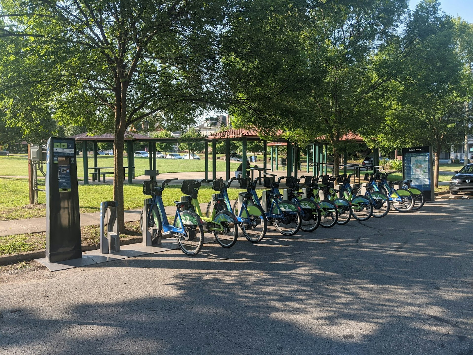
There is also Bike Chattanooga, Chattanooga's city-sponsored bike-share program, with 41 stations positioned throughout the city's core to serve visitors and locals alike. You can purchase access passes which start at $8 for 24 hours by credit card at any of the station kiosks. Rides under an hour are free. Just watch out for the deposit that will land on your card if you're being mindful of your budget.
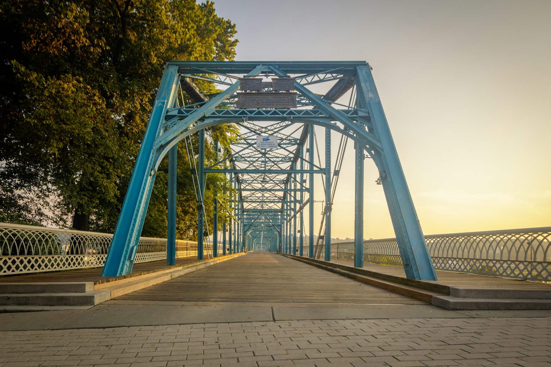
In addition to making it easier for cyclists to get to and fro by bike, Chattanooga also has a number of places to ride recreationally that connect multiple neighborhoods. The Riverwalk is 16 miles of cyclist-friendly paved greenway with fantastic views of the Tennessee River and surrounding wetlands, bookended by Chickamauga Dam on one end and a former foundry in St. Elmo on the other. But you'll often see dedicated road bikers getting their miles in on thoroughfares throughout the city – especially on semi-rural routes like Suck Creek Road. In fact, if you want to know more about where to take your bike while you're in town, check in with the experts at Suck Creek Cycle.
Taxi and Rideshare
Chattanooga has several taxi companies in the area including Nooga Taxi, Millennium Taxi, and Mercury Cab, but they need to be summoned by phone which can be a clunky and frustrating process. You'll have much better luck using major ridesharing apps – both Uber and Lyft operate in town and rides are typically inexpensive compared to bigger, more sprawling cities.
Accessible transit in Chattanooga
Chattanooga has as far to go on accessibility as any other city full of historic buildings that began to prioritize cars in the mid-century. That said, it has several transit options that will benefit travelers with disabilities. All CARTA buses have lifts and ramps for wheelchair access, and announcement systems that provide auditory information like the route number and destination for riders who are Deaf or hearing impaired. CARTA's free electric shuttles are also accessible for those who use mobility aids, and have similar audio cues to help people make their way.
While many taxis in Chattanooga are minivans or similarly accommodating vehicles, it can be very frustrating trying to get a driver when you need one, especially if you have to make sure the vehicle is accessible or you're on a schedule. Uber and Lyft are better bets, but many travelers with visible disabilities or mobility aids have expressed similar frustrations about quality of service. Your mileage may vary.
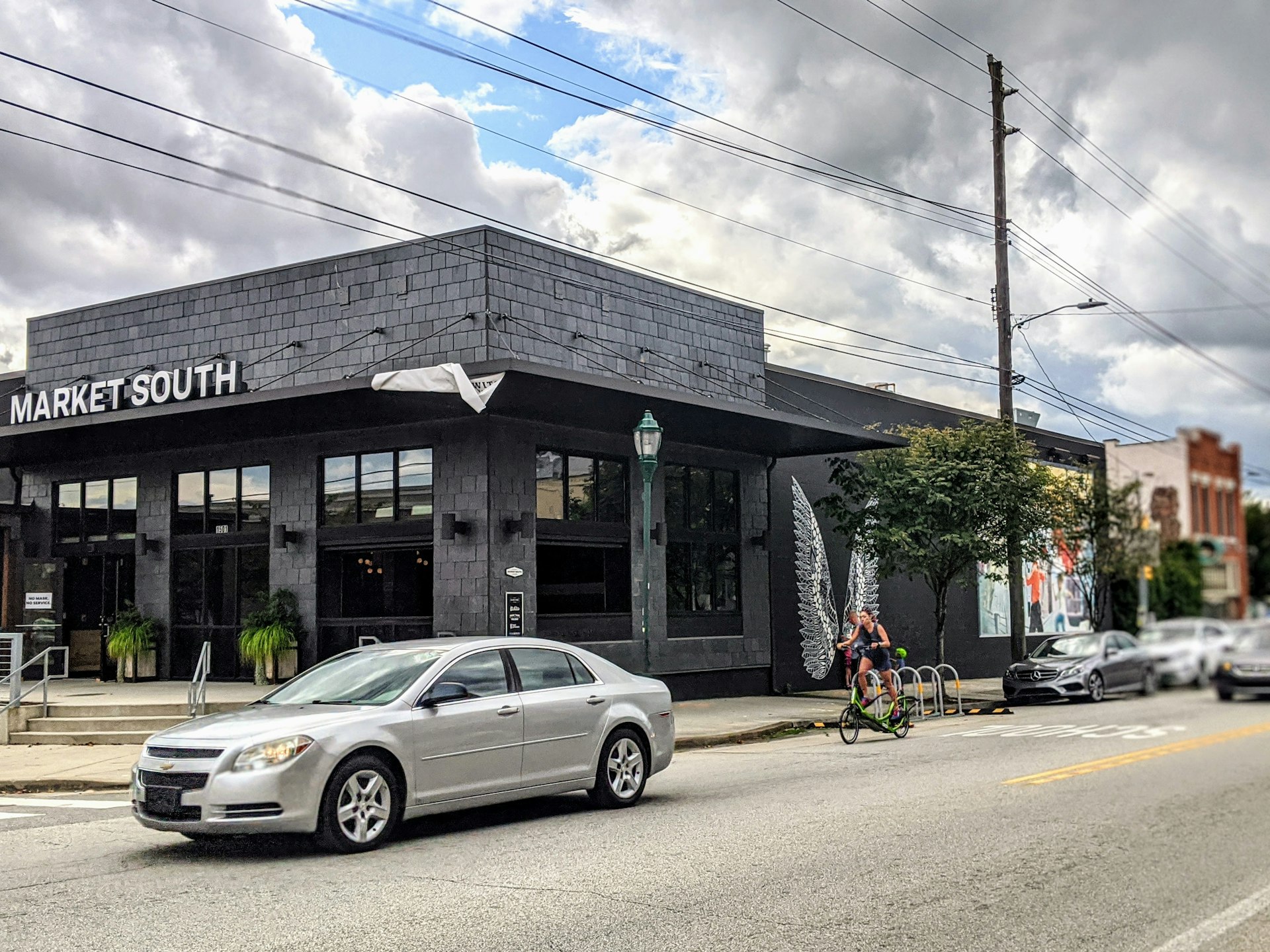
While Chattanooga can be quite hilly – particularly the further north you go – many of the most popular districts are level enough to be easily navigated by wheelchair users. Main Street, Frazier Avenue, Market Street and Broad Street are generally accessible even for those with mobility challenges.
You might also like:
16 free things to do in Chattanooga, Tennessee
5 cities in the US southeast with strong coffee culture
Get outside in Chattanooga, a little city that's big on adventure