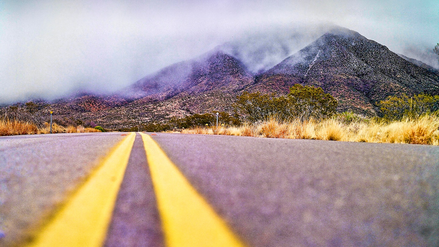
West Texas and the Chihuahuan Desert are packed with rugged adventure. From haunting Cold War-era history to horseback riding in breathtaking mountain ranges, these El Paso day trips will immerse you in a land loaded with mystery. Here are seven of our favorites.
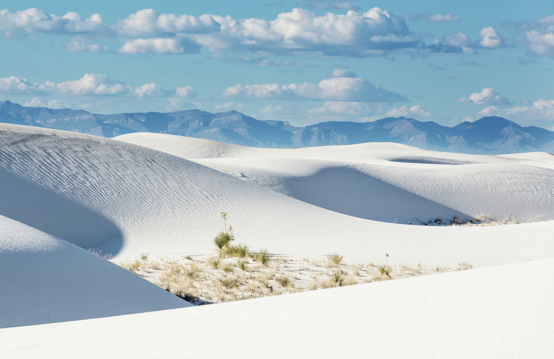
White Sands National Park
Sprawling white dunes reach to the horizon at White Sands National Park. Here, some 275 sq mi of the Chihuahuan Desert has been coated in the fine powder of gypsum sand.
Visitors to White Sands National Park can explore a hulking portion of the dune field to their heart’s content. The National Park Service has marked hiking trails throughout the fields, which also serve as a haven for dune boarding and astronomy.
Outside of the gates, travelers can immerse themselves in Cold War lore at White Sand Missile Range. The range is home to Trinity Site, the location of the first ever atomic bomb test. Trinity Site is open for special tours twice per year, while the White Sands Missile Range Museum is open year-round.
How to get to White Sands: From El Paso, take U.S. Hwy 54 north towards Alamogordo for about 100 miles or I-25 north to U.S. Hwy 70 east. The park entrance is located on Hwy 70 near Holloman Air Force Base.
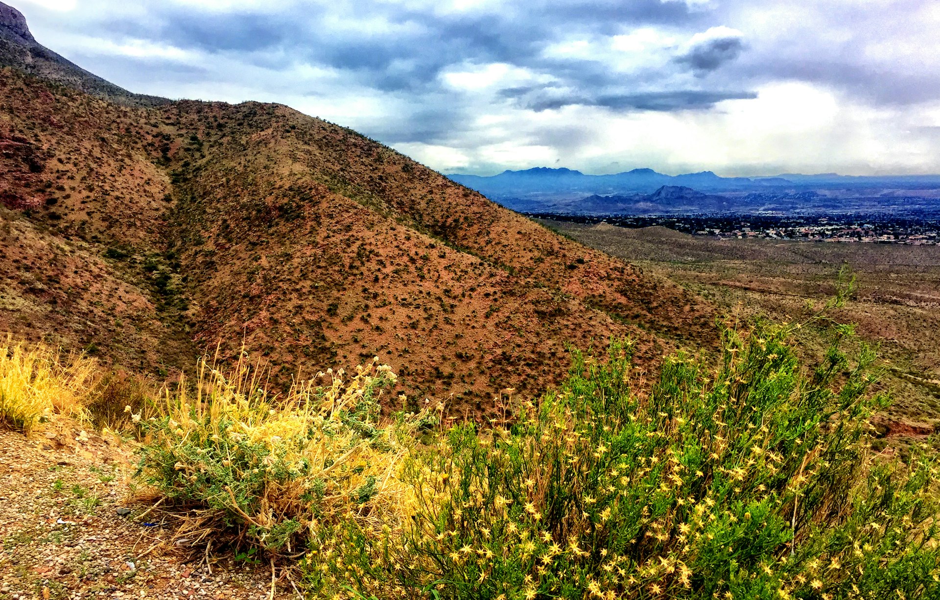
Franklin Mountains State Park
Hiking, camping, mountain biking and rock climbing await at Franklin Mountains State Park. The park is home to spectacular sunrises and sunsets at the westernmost point in Texas—all within a half-hour of downtown El Paso.
Franklin Mountains State Park hosts numerous trails with minimal elevation gain and short loops that make for perfect day hikes. Check out Ron Coleman Short Trail, Granola Bowl Loop Trail and Tom Mays Trail for excellent views, or make the 8-mile journey up 2,100 ft to North Franklin Peak.
How to get to Franklin Mountains State Park: From El Paso, take I-10 north to TX-375 east or U.S. Hwy 54 north to TX-375 west. The park sits about 17 miles from downtown.
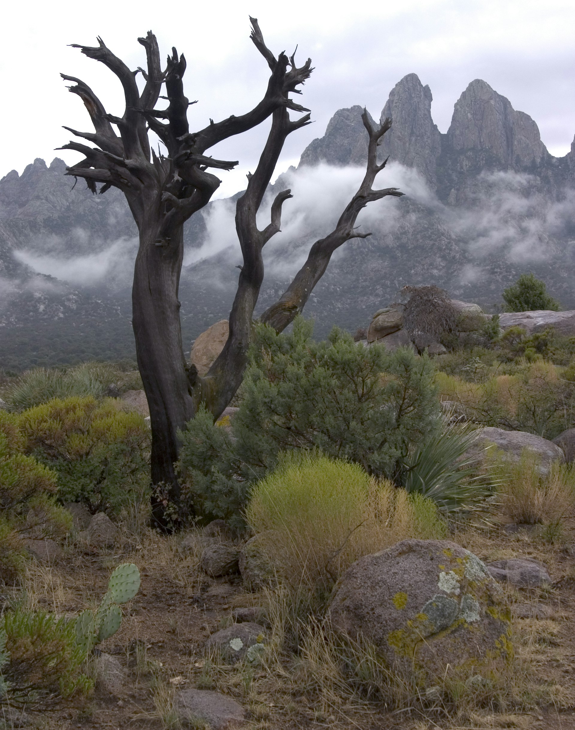
Aguirre Springs
Stunning views of the Organ Mountains lie just over the New Mexico border at Aguirre Springs. This jagged, rocky landscape is home to striking spires and year-round springs that bring verdant plant life to the desert.
The Bureau of Land Management maintains camping facilities and hiking trails at this off-the-grid gem for outdoor enthusiasts. Visitors who snag a spot at one of the 55 first-come, first-serve campground spots will be treated to views of the surreal dunes of White Sands below.
How to get to Aguirre Springs: Take I-10 north to Las Cruces. Bear east on U.S. Hwy 70 towards White Sands. Turn south on Aguirre Springs Rd. Total drive time is about two hours.

Ciudad Juárez, Mexico
Historic missions, street musicians and foods of every flavor reward visitors who make the journey over the border to Juárez. The city's long-time association with cartel violence has overshadowed the city's educational side so make sure visit spots like The Museum of the Revolution, city market and El Paso Mission Trail.
After dark, Juárez comes alive along the bustling Avenida Juárez. The city claims to be the home of the margarita, perhaps best served at the well-known Kentucky Club, once frequented by the likes of Marilyn Monroe.
How to get to Ciudad Juárez: Juárez is located across the Rio Grande from El Paso. Travelers can take U.S. Hwy 45 south or Stanton Street into the city. Ride-sharing services are available between El Paso and Juárez.
Editor's note: Due to the COVID-19 pandemic, the border between Mexico and the United States is currently closed to non-essential travelers.
Hueco Tanks State Park
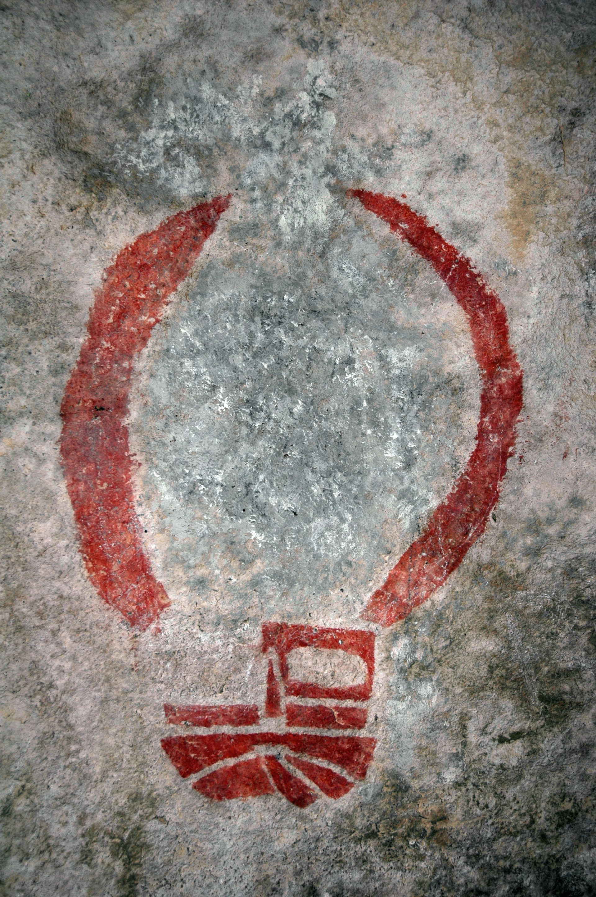
Hulking rock formations in the desert loom 45 minutes from El Paso at Hueco Tanks State Park. Here, ancient pictographs sprout over the landscape, some 3,000 in total, commemorating the important role these catch-basin rocks have played in human history. Visitors can learn more about the pictographs and their creators at the park’s interpretive center, or visit a historic ranch house.
Tours of the pictographs and park are free with entry to the park, where eagles, falcons, bobcats and gray foxes roam free. The park is also home to 20 campsites.
How to get to Hueco Tanks State Park: Travel 32 miles northeast of El Paso on U.S. Hwy 62/180, then turn north on Ranch Road 2775.
Guadalupe Mountains National Park
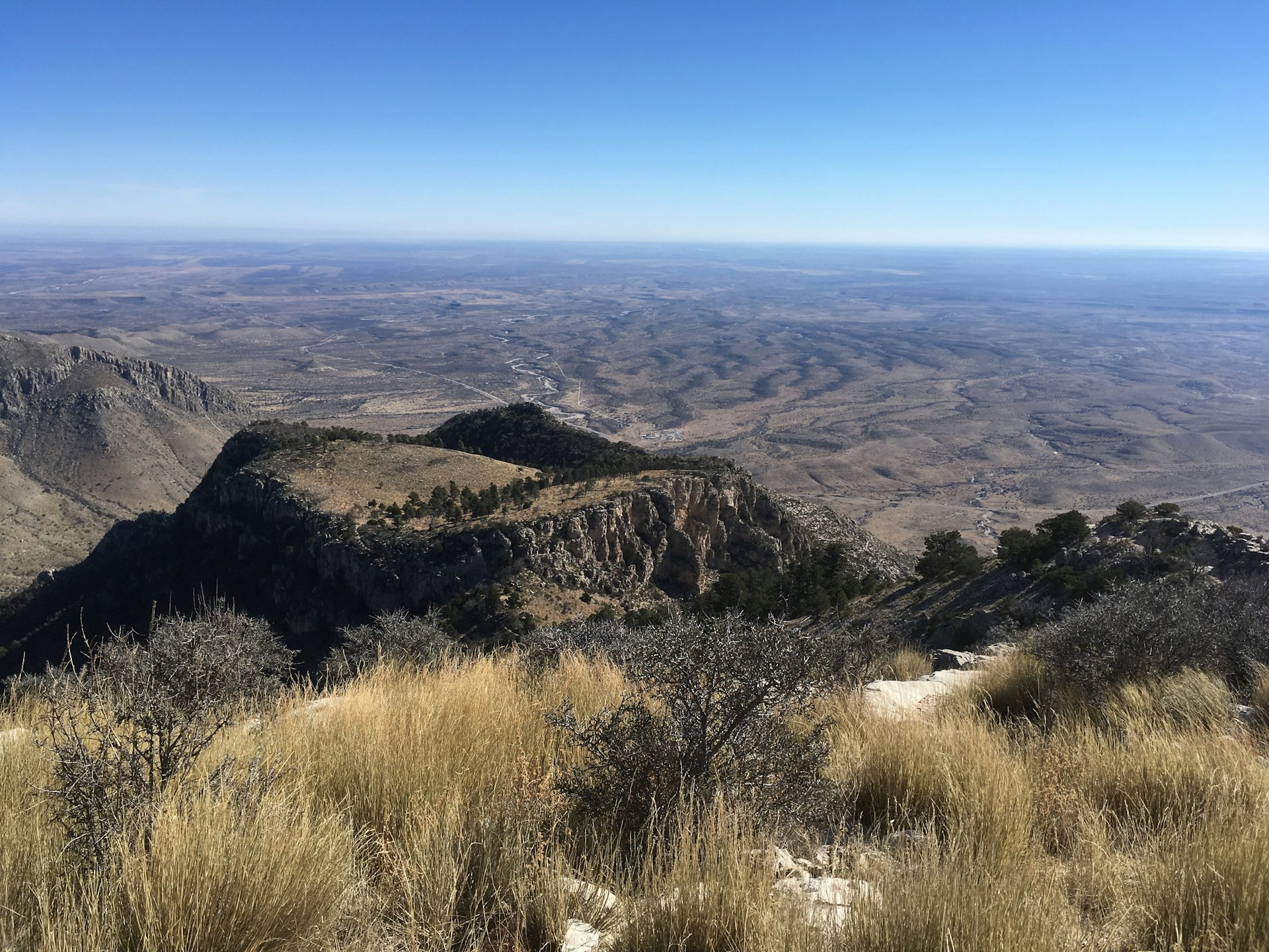
Hike, camp and crawl along an ancient reef at Guadalupe Mountains National Park. This lesser-known national park is often called a hidden gem of the national park system for good reason.
It holds more than 80 miles of trails—many of which are designated for horseback riding—that traverse desert, riparian and forested terrain largely untouched by modern development. The park also hosts seven of the highest peaks in Texas and a gypsum field second in scale only to White Sands.
The 8.4-mile loop to Guadalupe Peak will reward you with a view from the highest point in Texas at 8,751 feet and a monument to the Pony Express.
How to get to Guadalupe Mountains National Park: Take U.S. Hwy 180E towards Pine Springs. After 109 miles, exit to the park.
Carlsbad Caverns National Park
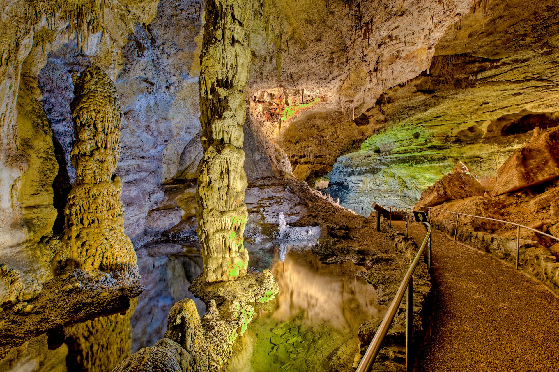
See the spectacle of Mexican free-tailed bats flocking out of their cavern at sunset and explore the nation’s deepest limestone cave at Carlsbad Caverns National Park. Located just 30 minutes from the gates of Guadalupe Mountains National Park, this famed subterranean fantasy land hosts long, twisting caverns loaded with stalactites and stalagmites—including many that are well-lit along an accessible walking tour.
Carlsbad Caverns offers visitors an inside look at the 250 million-year-old reef system that created both it and the nearby mountains. The National Park Services offers guided and self-guided tours, as well as astronomy and bat education programs.
How to get to Carlsbad Caverns National Park: Take U.S. Hwy 180E for about 140 miles before exiting at Whites City towards the park.
You might also like:
Under the radar USA: multiculturalism in El Paso, Texas
Texas' best road trips
The ultimate guide to BBQ in Texas