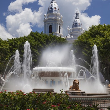
© Cavan Images/Getty Images
Puerto Rico
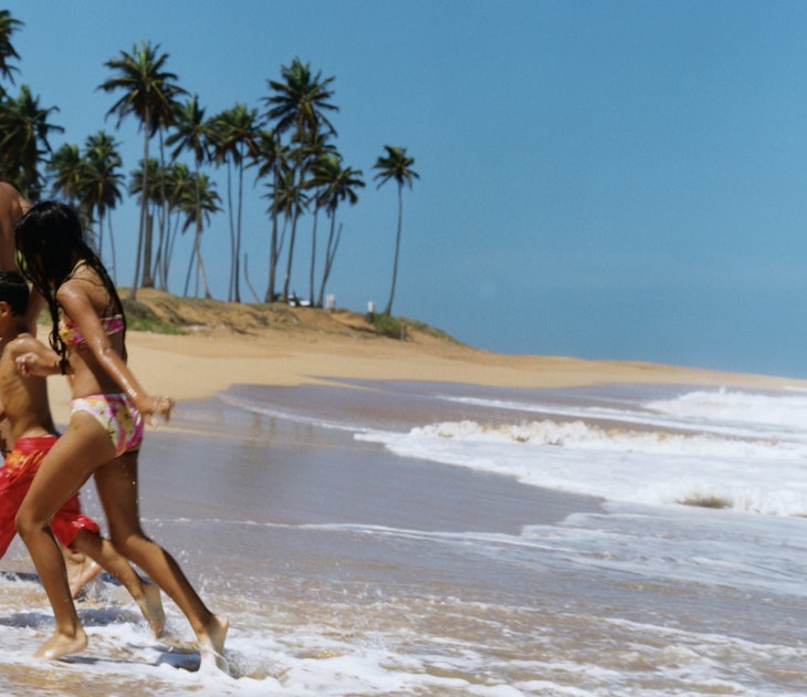
Scented by slow-roasted pork and sea breezes, colored by swashbuckling history, this sun-washed medley of Spanish and American influences is a fusion of Caribbean delights.
Attractions
Must-see attractions
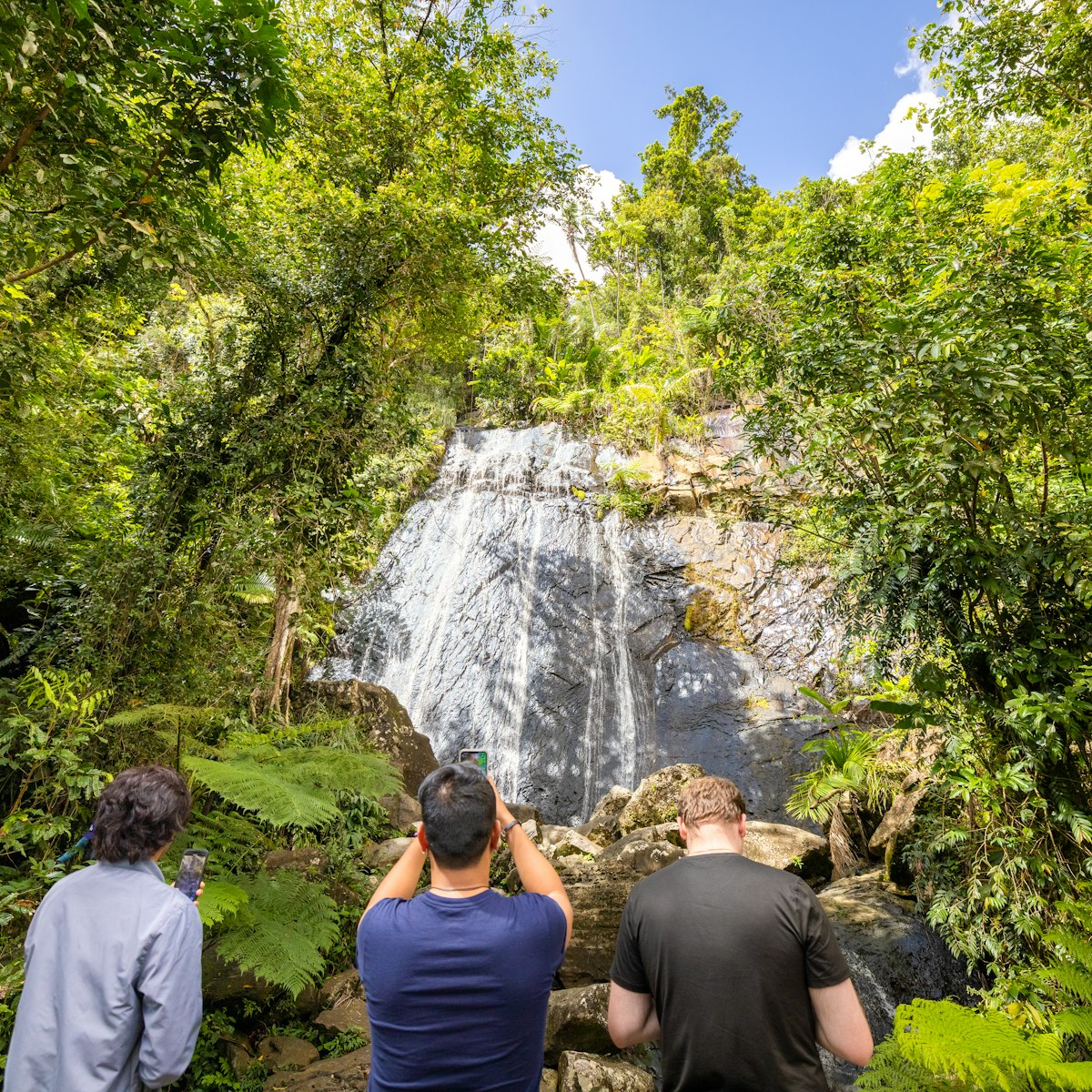
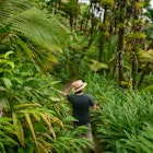
El Yunque
El Yunque National Forest is one of Puerto Rico’s crown jewels with nearly 29,000 acres of lush, mountainous terrain scattered with waterfalls, rushing…
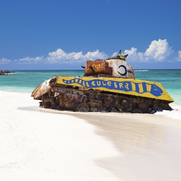
Culebra
Stretching for a mile around a sheltered, horseshoe-shaped bay, Playa Flamenco (Flamenco Beach) is not only one of Culebra’s best beaches, it also makes a…
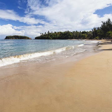
Culebra
If you need a reason to hire a water taxi, Isla Culebrita (Culebrita Island) is it. This small island, just east of Playa Zoni, is part of the national…
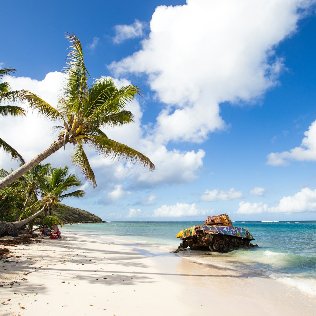
Vieques
Locals claim that the magnificent Bahía Mosquito (Mosquito Bay), a designated wildlife preserve located on the island of Vieques, about 2 miles east of…
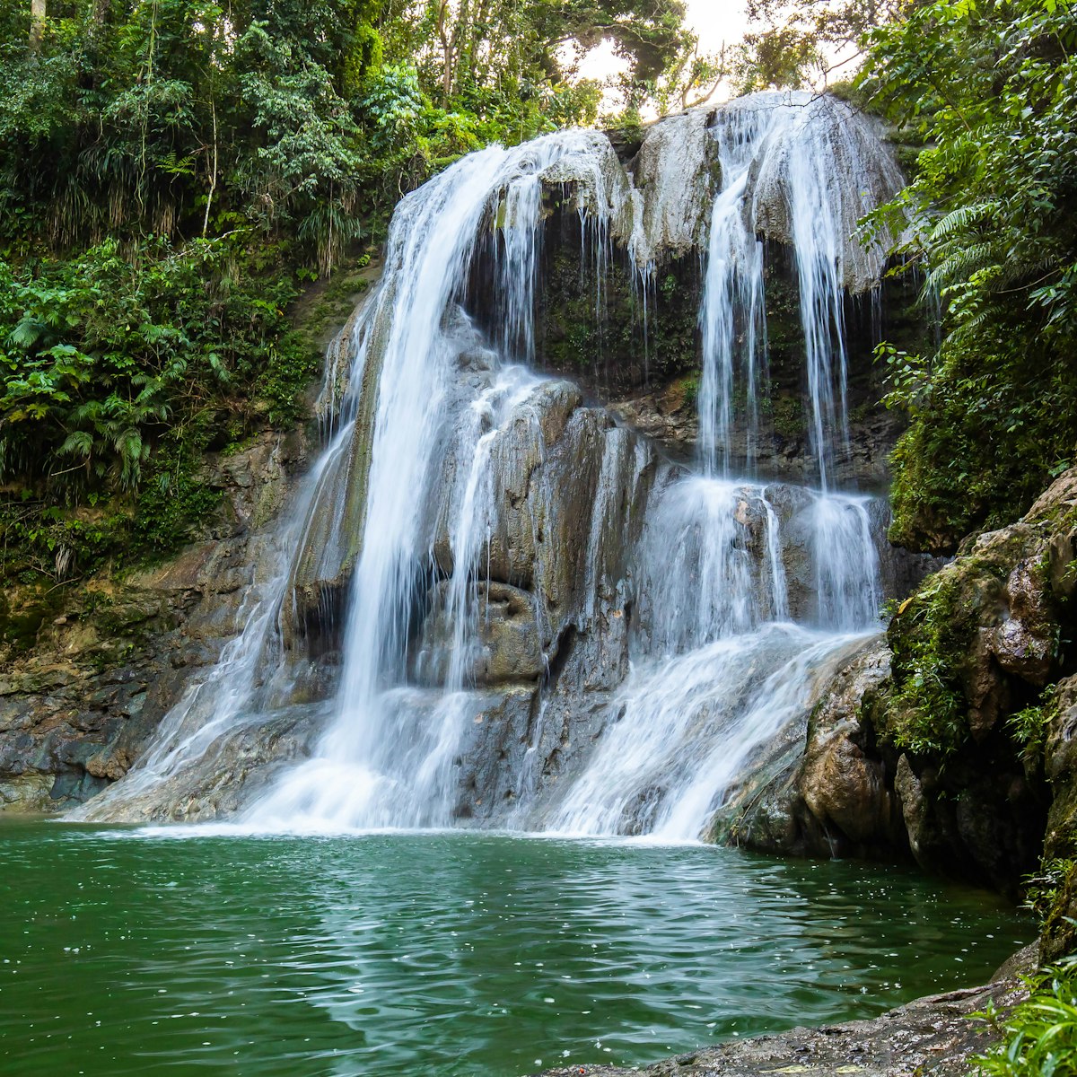
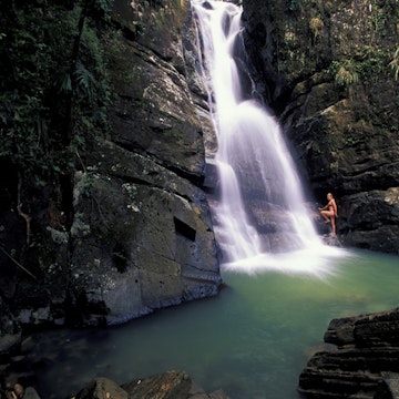
Central Mountains
Sometimes a little piece of paradise lies in store in the least obvious of locales, and Gozalandia is San Sebastián's: a flurry of dramatic cascades,…
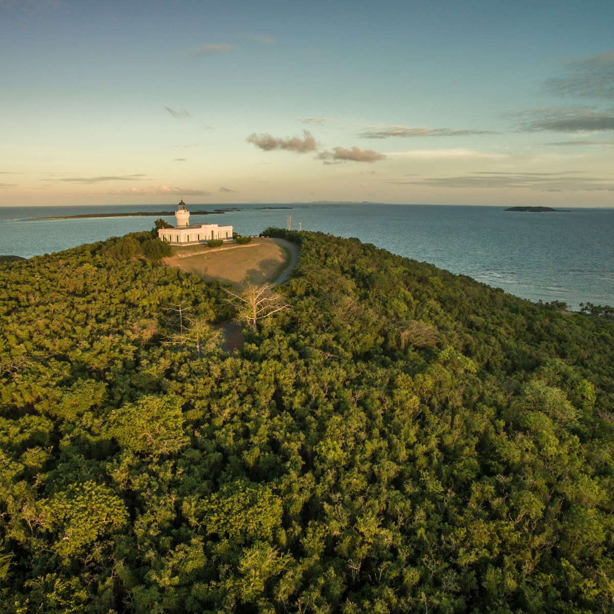
Cabezas de San Juan Reserva Natural
El Yunque & East Coast
A nodule of land on Puerto Rico’s northeast tip, this Para La Naturaleza–run reserve protects the Laguna Grande bioluminescent bay, rare flora and fauna,…
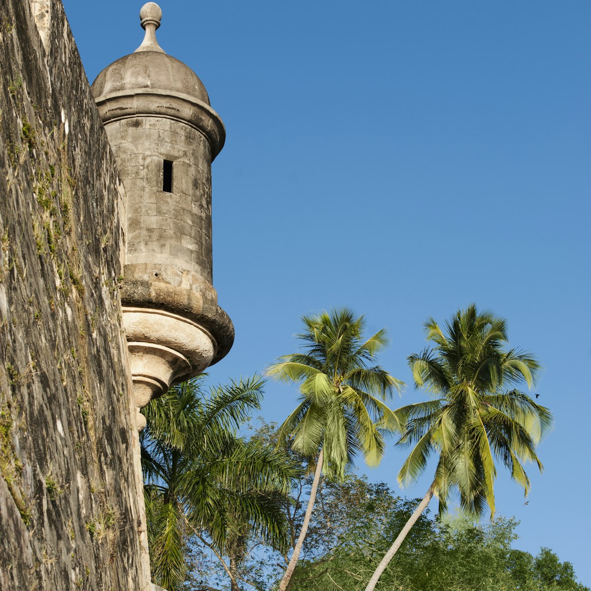
San Juan
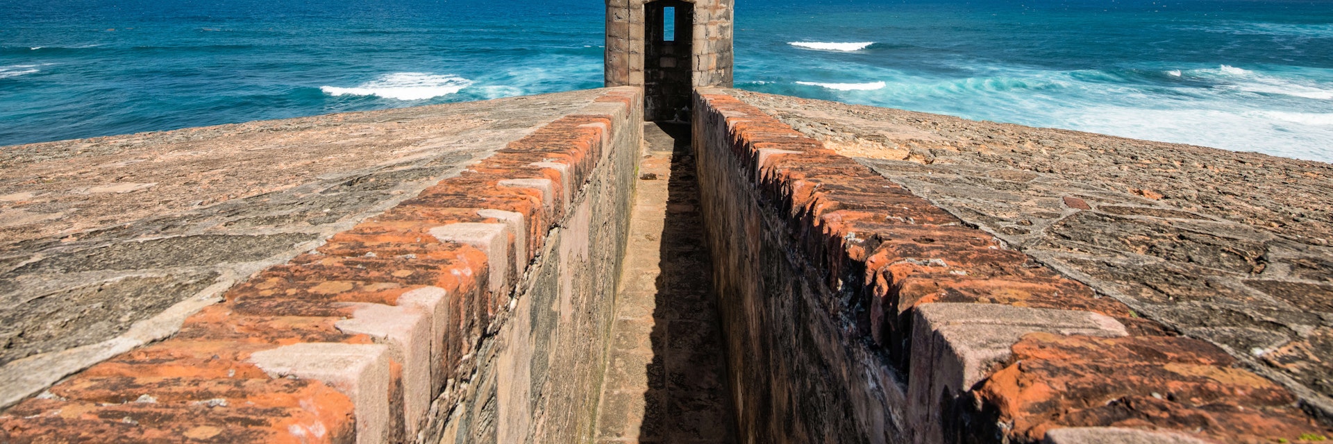
A star of Old San Juan, brooding El Morro sits atop a headland, deterring would-be attackers. The 140ft walls (some up to 15ft thick) date to 1539 and it…
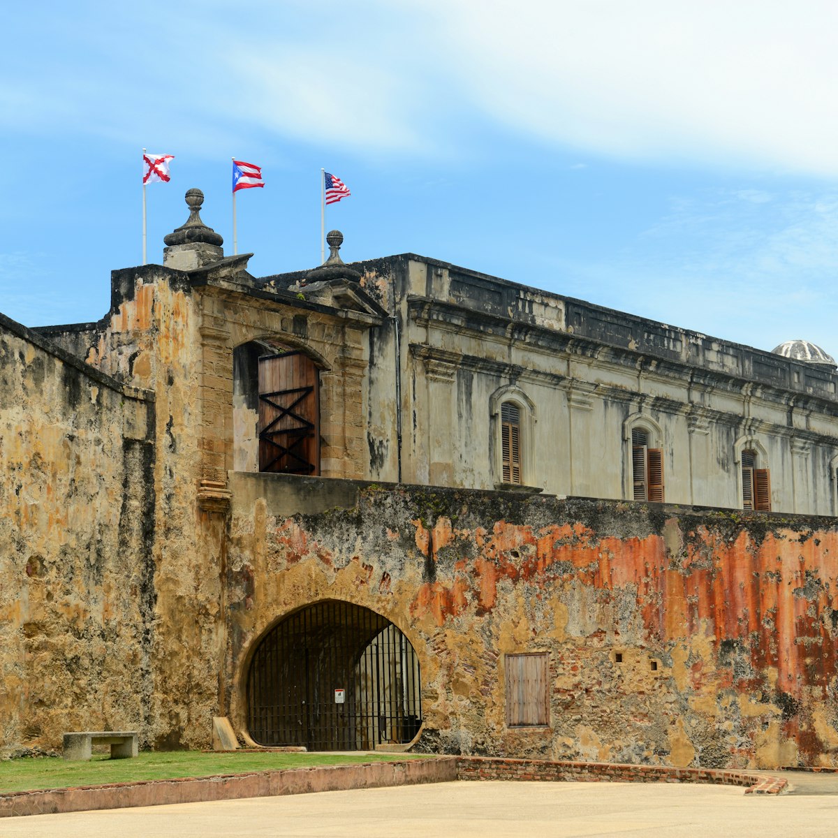
San Juan
The city's second major fort is one of the largest Spanish-built military installations in the Americas. In its prime, it covered 27 acres with a maze of…
Attractions
Top picks from our travel experts

Centro Ceremonial Indígena de Tibes
Ponce
The ancient ceremonial center of Tibes is one of the Caribbean's most important archaeological sites, due largely to evidence found here of pre-Taíno…
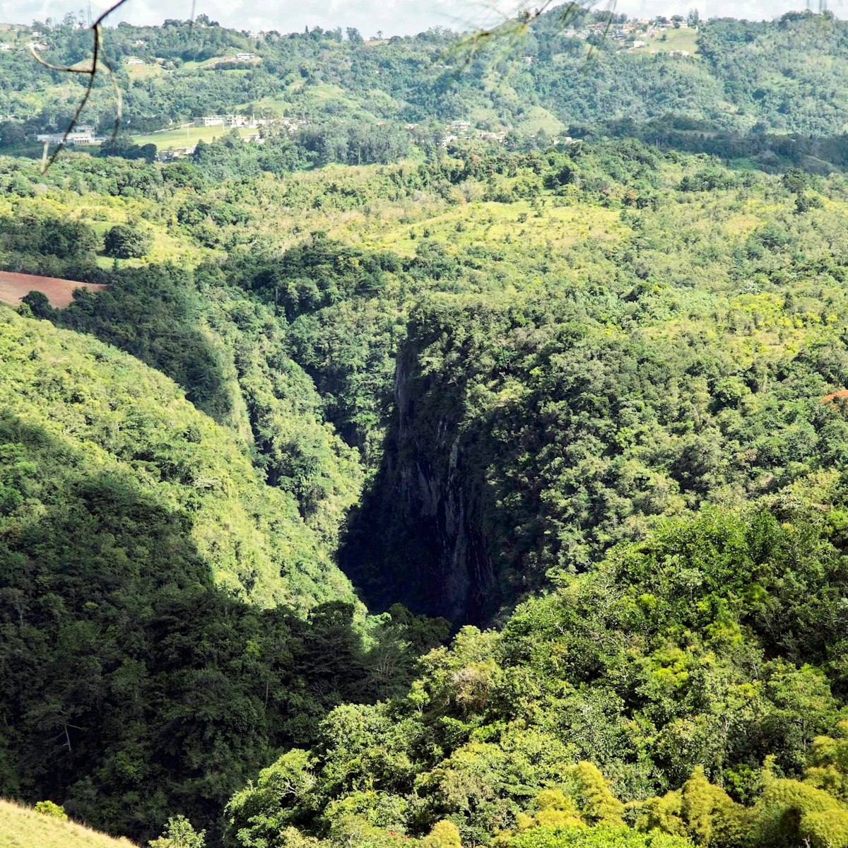
Central Mountains
The St Christopher canyon is so unexpected – both in location and appearance – that it takes many a breath away. The deep green chasm seemingly drops out…

San Juan
This beautiful old corner bar has been updated with Puerto Rico's best selection of artisan beers, including Ocean Lab and Boxlab. Pull up a stool to…
El Yunque
El Yunque National Forest is one of Puerto Rico’s crown jewels with nearly 29,000 acres of lush, mountainous terrain scattered with waterfalls, rushing…
San Juan
First constructed in 1521 as a residence for Puerto Rico’s pioneering governor, Juan Ponce de León (who died before he could move in), Casa Blanca is the…
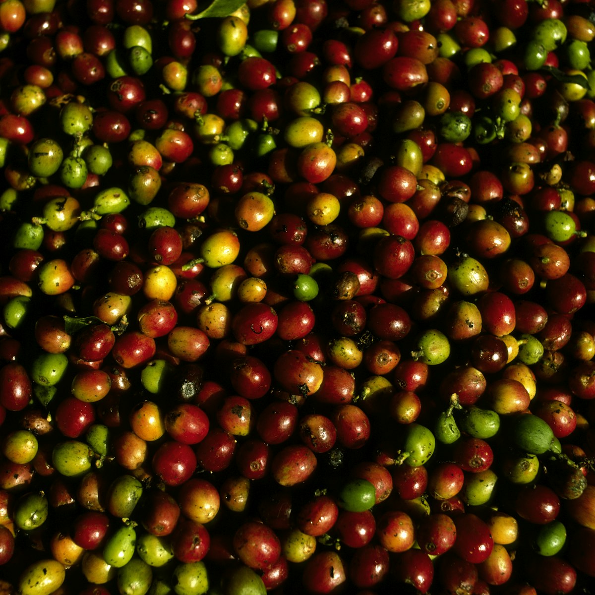
Central Mountains
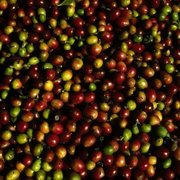
San Pedro is a small working coffee farm with an attached museum and cafe/tasting room where you can get a fascinating insight into the coffee-making…
San Juan
With countless tanned bodies lounging or flexing their biceps around the volleyball net, this urban beach basks in its reputation as the Copacabana of…
San Juan
The so-named Hijos de Borinquen (or Sons of Puerto Rico) has three distinct zones in one shabby-chic space – a cool cocktail lounge, wine bar and swinging…
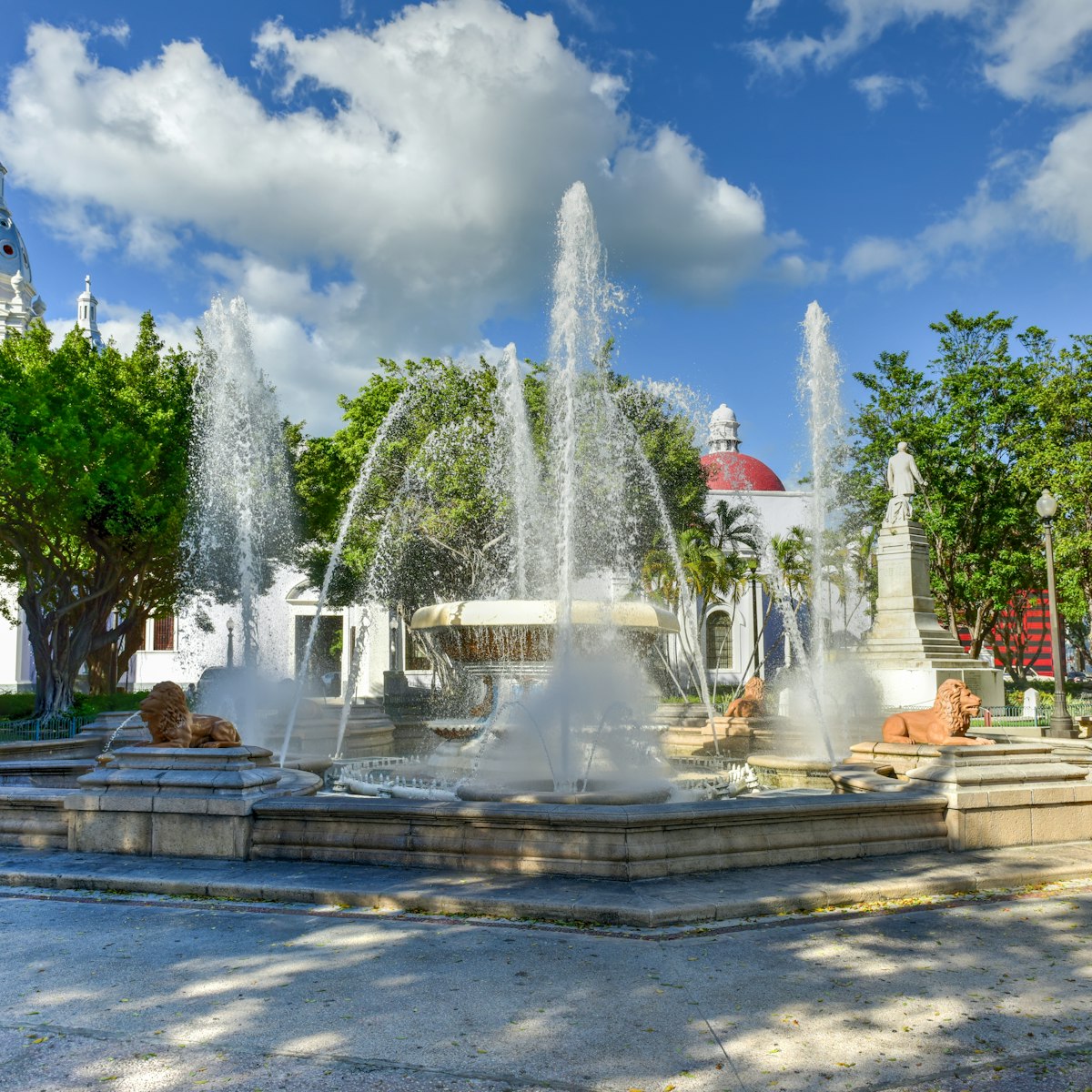
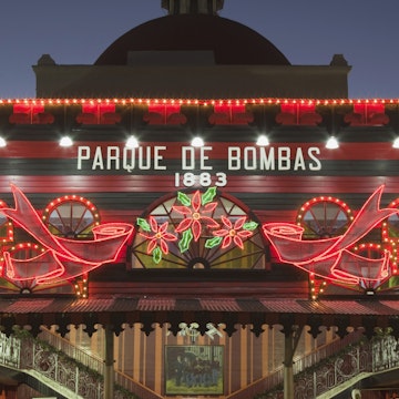
Ponce
Within this elegant square you’ll discover Ponce's heart as well as two of the city’s landmark buildings, Parque de Bombas and Catedral Nuestra Señora…
Puerto Rico
Fanning out immediately south of Boquerón town, the Balneario Boquerón arguably ranks among the best public beach facilities in Puerto Rico. The mile-long…
San Juan
Built against the outside wall of the city, this long, gray and white building, once a jail, now houses the headquarters of the Puerto Rico Tourism…
San Juan
Protected by offshore reefs and caressed by cooling seasonal trade winds, this wide sweep of diamond-dust sand is a favorite of locals. But this…
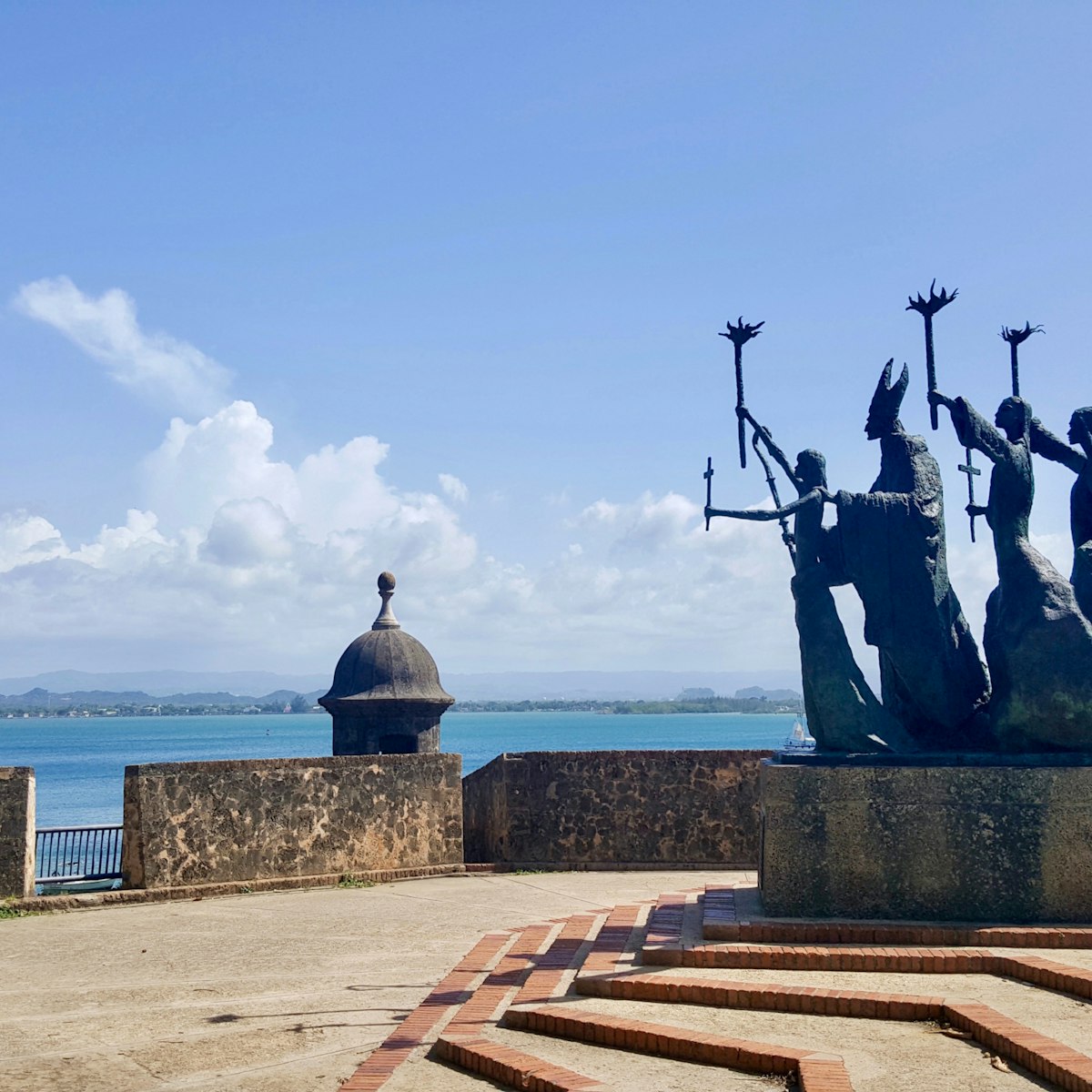
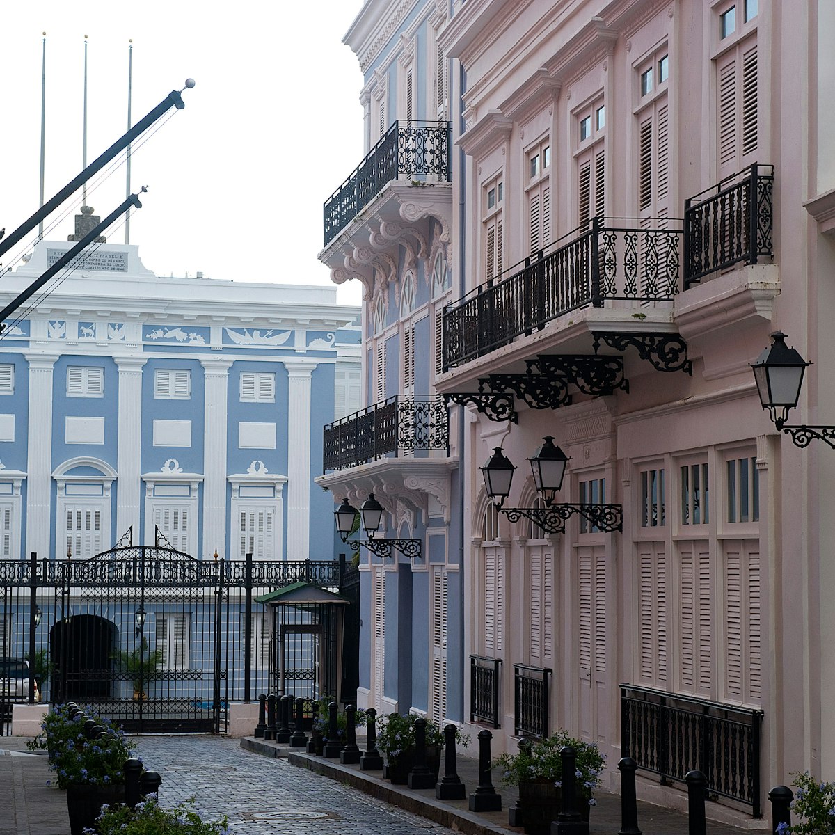
San Juan
This diminutive gem of a square with lovely views over the bay is home to an interesting, stylized bronze sculpture of a former bishop of San Juan and…
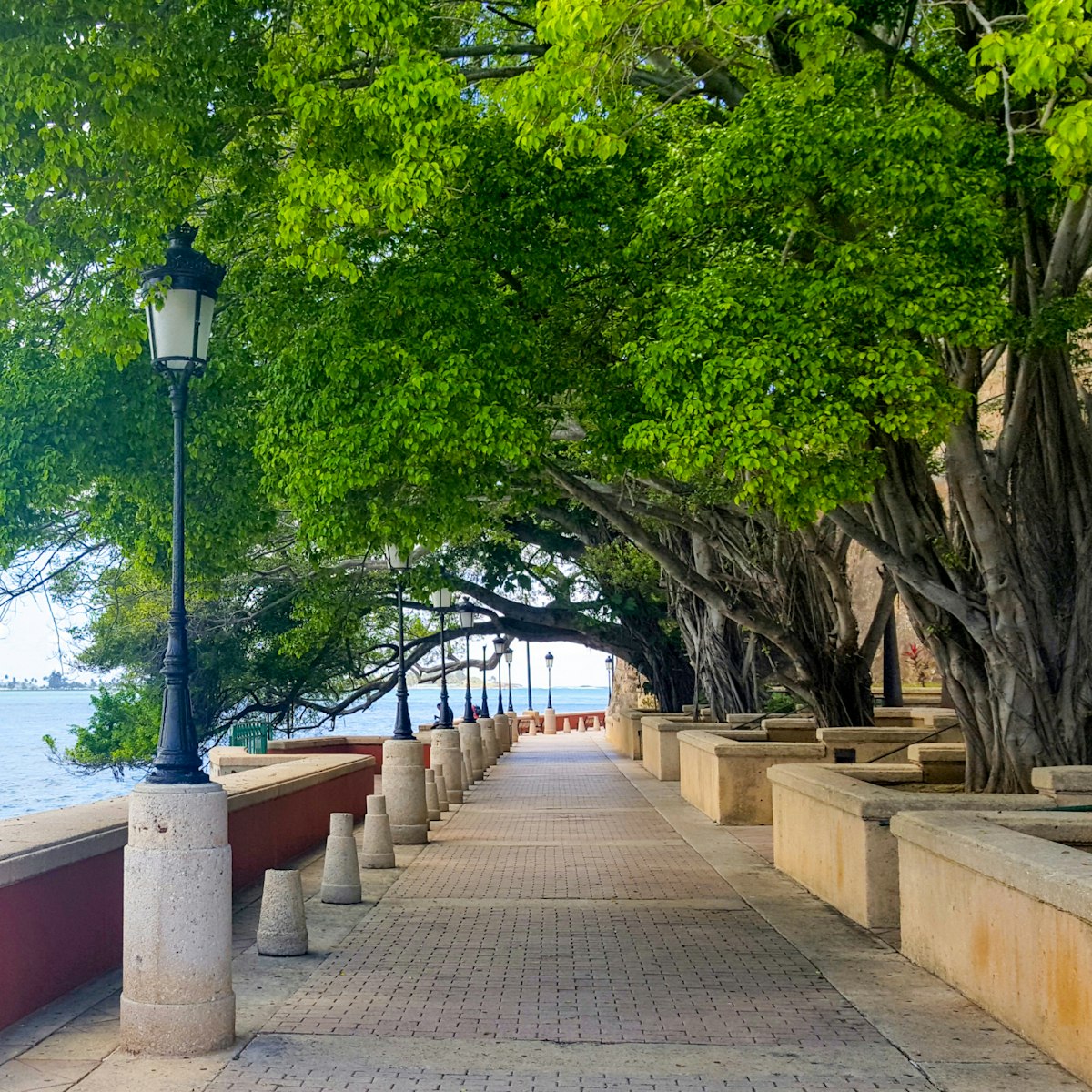
San Juan
Conjuring up a distinctly European feel, broad Paseo de la Princesa is a 19th-century esplanade just outside the city walls. Lined with antique…
San Juan
One of the three remaining gates into the old city, the lofty red portal known as the Puerta de San Juan is a popular photo stop. Spanish ships once…
El Yunque
El Yunque National Forest is one of Puerto Rico’s crown jewels with nearly 29,000 acres of lush, mountainous terrain scattered with waterfalls, rushing…
San Juan
First constructed in 1521 as a residence for Puerto Rico’s pioneering governor, Juan Ponce de León (who died before he could move in), Casa Blanca is the…
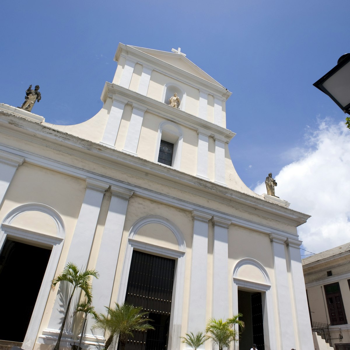
San Juan
While San Juan's cathedral is smaller and less flamboyant than many Spanish churches, it retains a simple elegance. The first church on this site was…
San Juan
A star of Old San Juan, brooding El Morro sits atop a headland, deterring would-be attackers. The 140ft walls (some up to 15ft thick) date to 1539 and it…
North Coast
Within the Parque Histórico de Arecibo complex, this lighthouse dates from 1897 and is an excellent example of Spanish neoclassical architecture. There's…
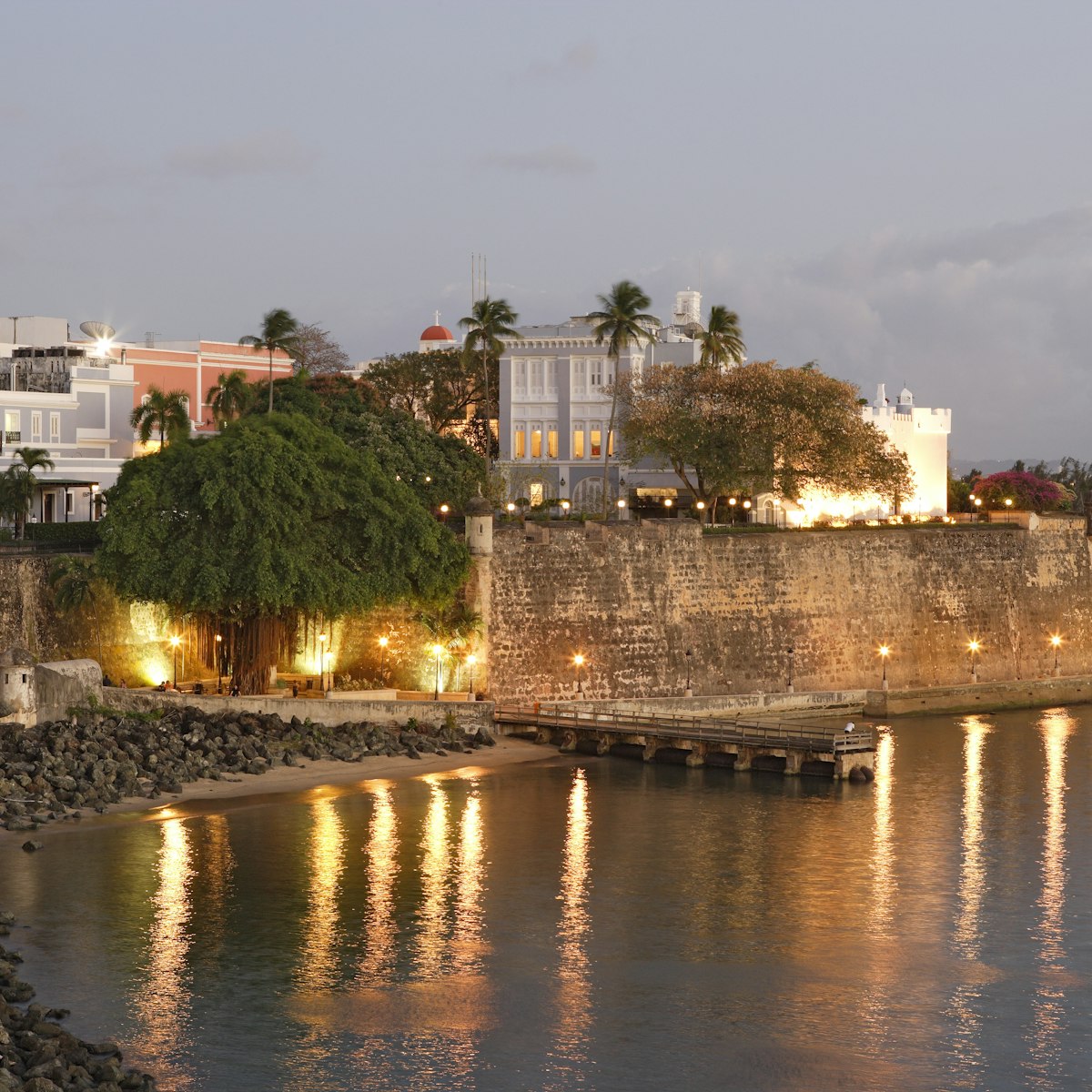
San Juan
Guarded iron gates mark the imposing La Fortaleza. Dating from 1533, it's the oldest executive mansion in continuous use in the western hemisphere. The…
Planning Tools
Expert guidance to help you plan your trip
Best Things to Do
Take a class, make a friend and forge a deeper connection with the people and culture of Puerto Rico.
Read articleThings to Know
Get a head start on your perfect Puerto Rico trip with these insider tips..
Read articleTransportation
The car may be king in Puerto Rico but traffic-clogged roads aren't your only option. Here's how to see every beautiful corner of Puerto Rico.
Read articleVisa Requirements
Puerto Rico is an incredible vacation destination, but don't ruin your trip over visa confusion. We've got all you need to know before you go.
Read articleMoney and Costs
Puerto Rico is one of the most popular islands in the Caribbean but all that beauty comes with a price tag. Use our top tips to visit on a budget.
Read articleTraveling with Kids
Explore the island as a family with this guide to the best things to do in Puerto Rico with babies, toddlers, kids and teens.
Read articleBest Road Trips
Explore the beauty and culture of Puerto Rico on your own schedule by taking a scenic road trip. Here are five of our favorites.
Read articleArticles
Latest stories from Puerto Rico
Filter by interest:

 Festivals & EventsThe best time to visit Puerto Rico for festivals, beaches, pernil and more
Jan 26, 2024 • 6 min read


 Destination PracticalitiesThe ultimate guide to getting around in Puerto Rico
Dec 4, 2023 • 6 min read


 Food and DrinkComida criolla, cocktails and coffee: Puerto Rico’s culinary delights
May 1, 2023 • 7 min read
in partnership with getyourguide
Book popular activities in Puerto Rico
Guidebooks
Purchase our award-winning guidebooks
Get to the heart of Puerto Rico with one of our in-depth, award-winning guidebooks, covering maps, itineraries, and expert guidance.