Pakistan
Check out this year's Best in Travel winners
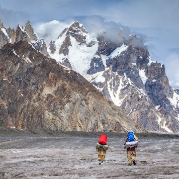
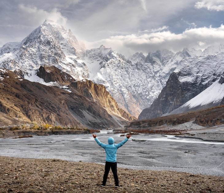
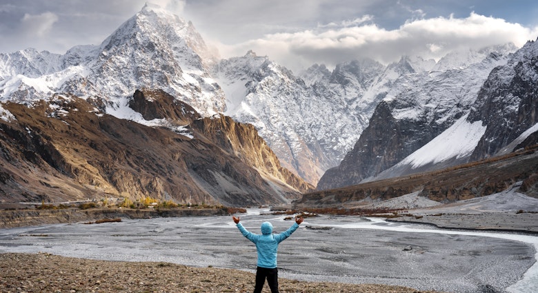
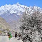
Pakistan is blessed with abundant natural and historical riches. Incredible mountain landscapes are set against a backdrop of desert forts and stories of sultans and djinns. In its cities, ancient bazaars are home to intricately etched copper kitchenware alongside pungent spice racks and steaming tea stalls.
Attractions
Must-see attractions
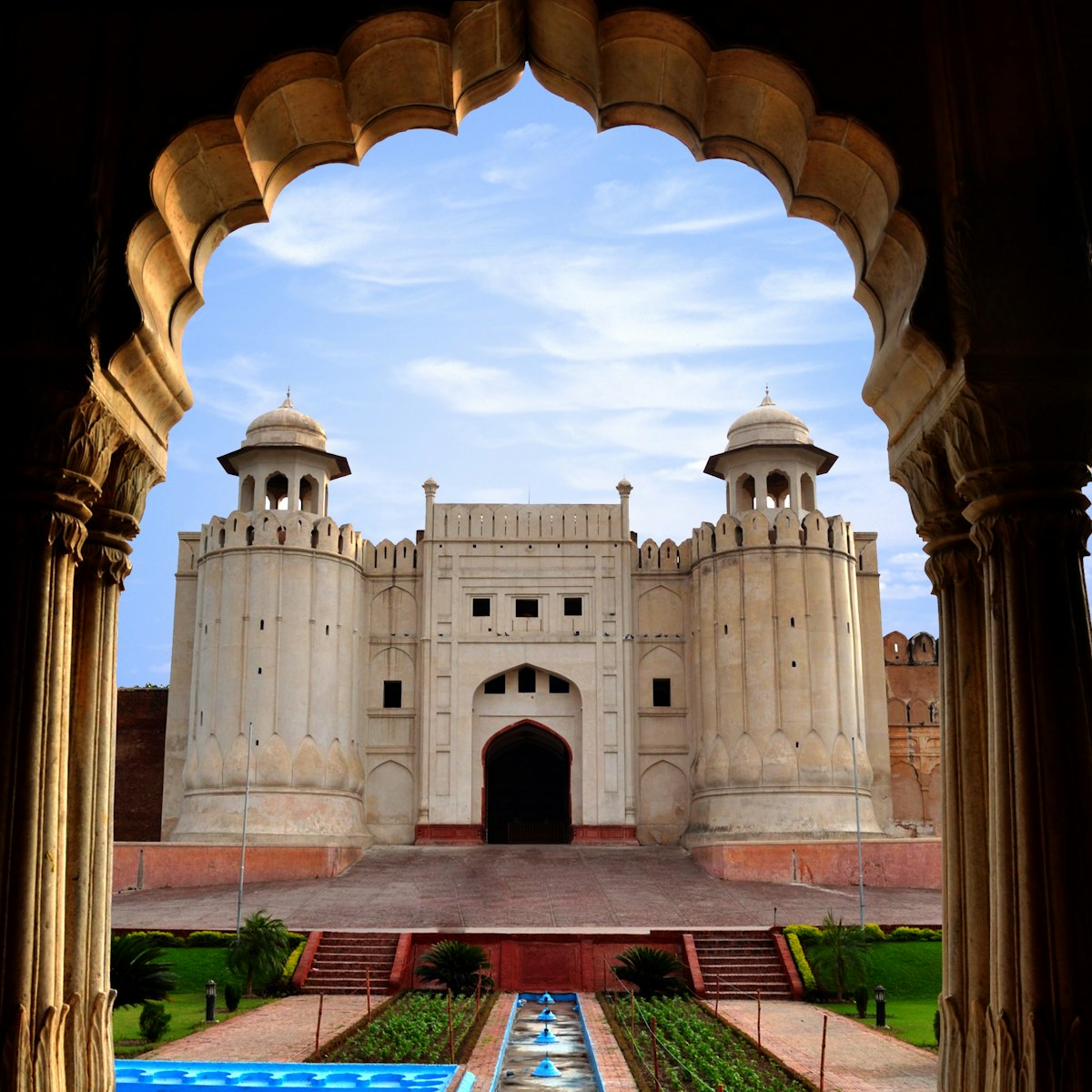
Lahore
Built, damaged, demolished, rebuilt and restored several times before being given its current form by Emperor Akbar in 1566 (when he made Lahore his…
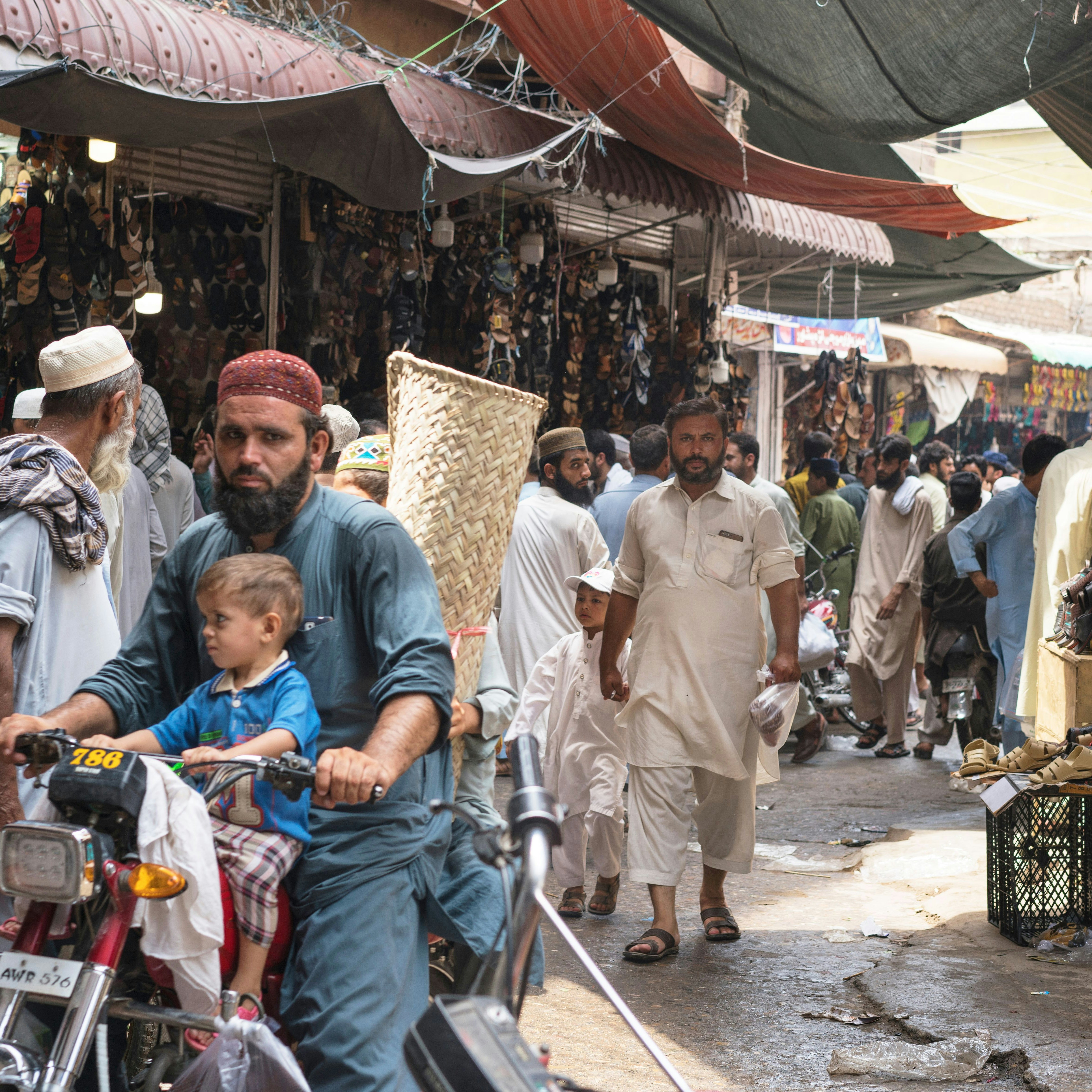
Peshawar
On the fringes of Peshawar as you head towards the Khyber Pass is the Smugglers' Bazaar (Karkhanai Bazaar). It thrives openly on the sale of goods…
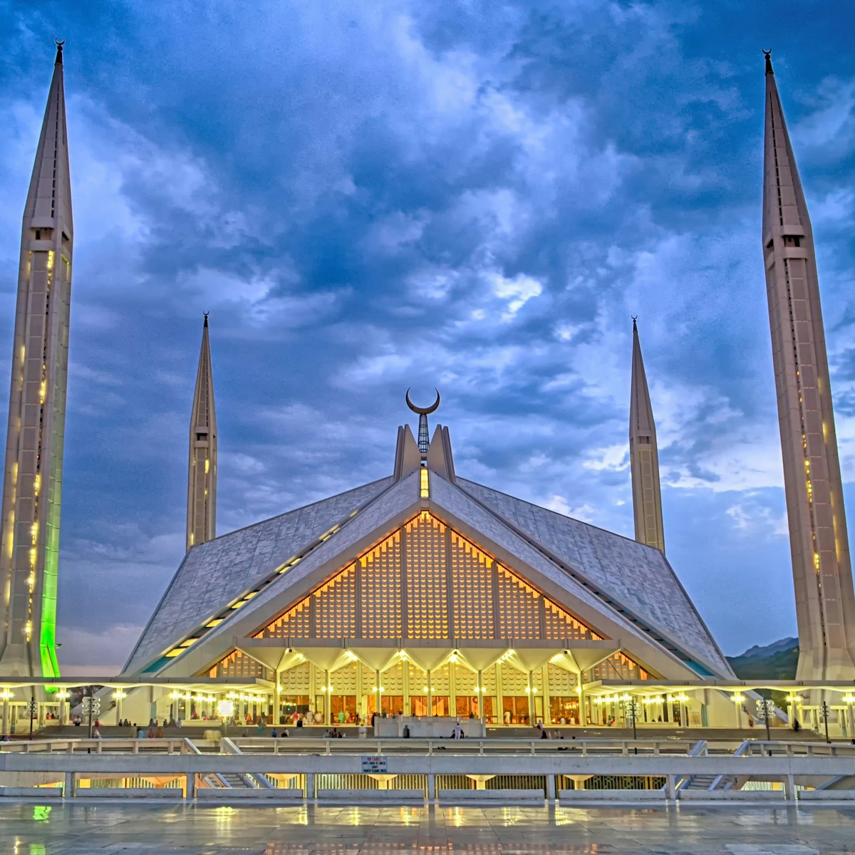
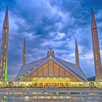
Islamabad & Rawalpindi
The eye-popping Shah Faisal Mosque, nestled at the foot of the Margalla Hills, is one of Asia's largest and reflects an eclectic blend of ultramodern and…

Lahore
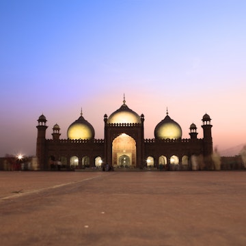
Completed in 1674 under Aurangzeb as the Mughals' final architectural fling, the sublime Badshahi Mosque, opposite the main gateway to the Lahore Fort, is…
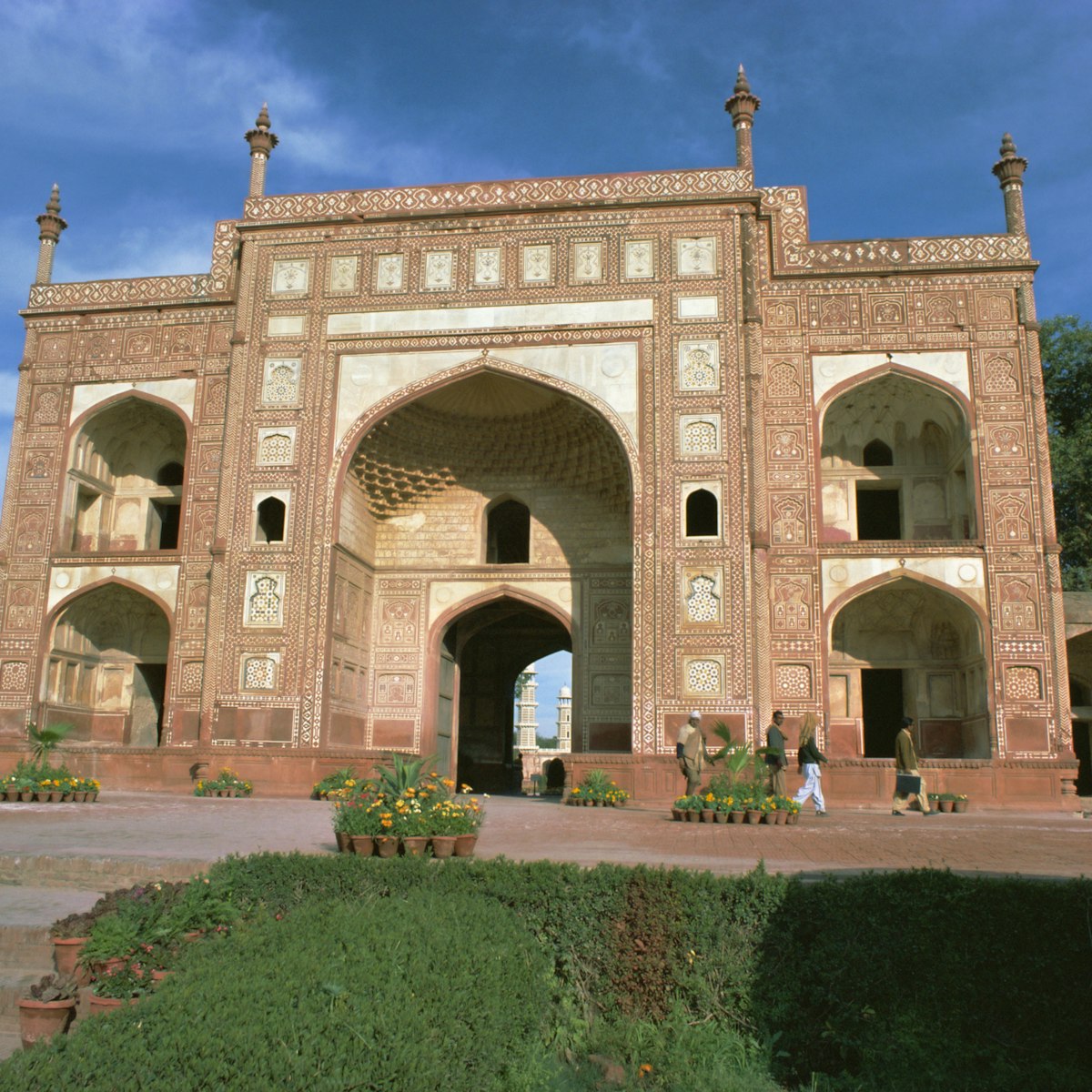
Lahore
Standing in a garden on the northern outskirts of Lahore, the elaborately decorated sandstone Jehangir's Tomb is that of Emperor Jehangir. Built in 1637…

Gilgit
The Uprising Memorial, is a memorial to those who rose against the Maharaja in 1947. It includes the graves of the local heroes, Mohammed Babar Khan and…
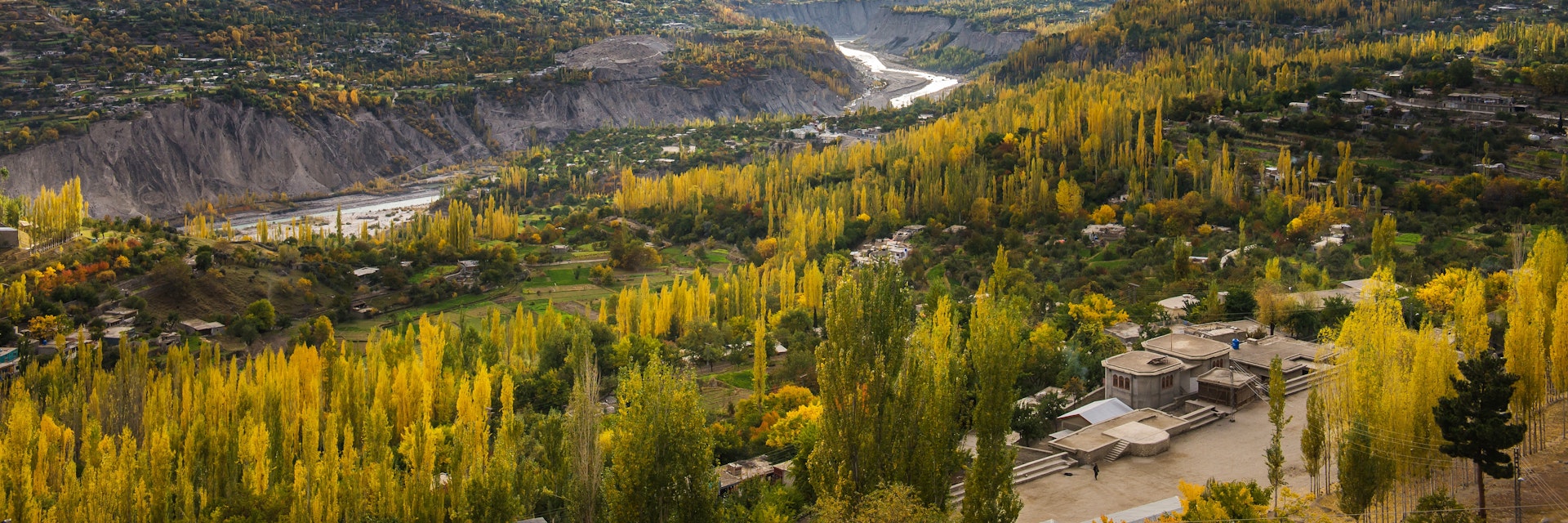
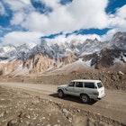
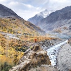
Karakoram Highway
The oldest parts of Baltit Fort date from the 13th century. Over the years more houses and towers were added, and it was fortified. To cement an alliance…
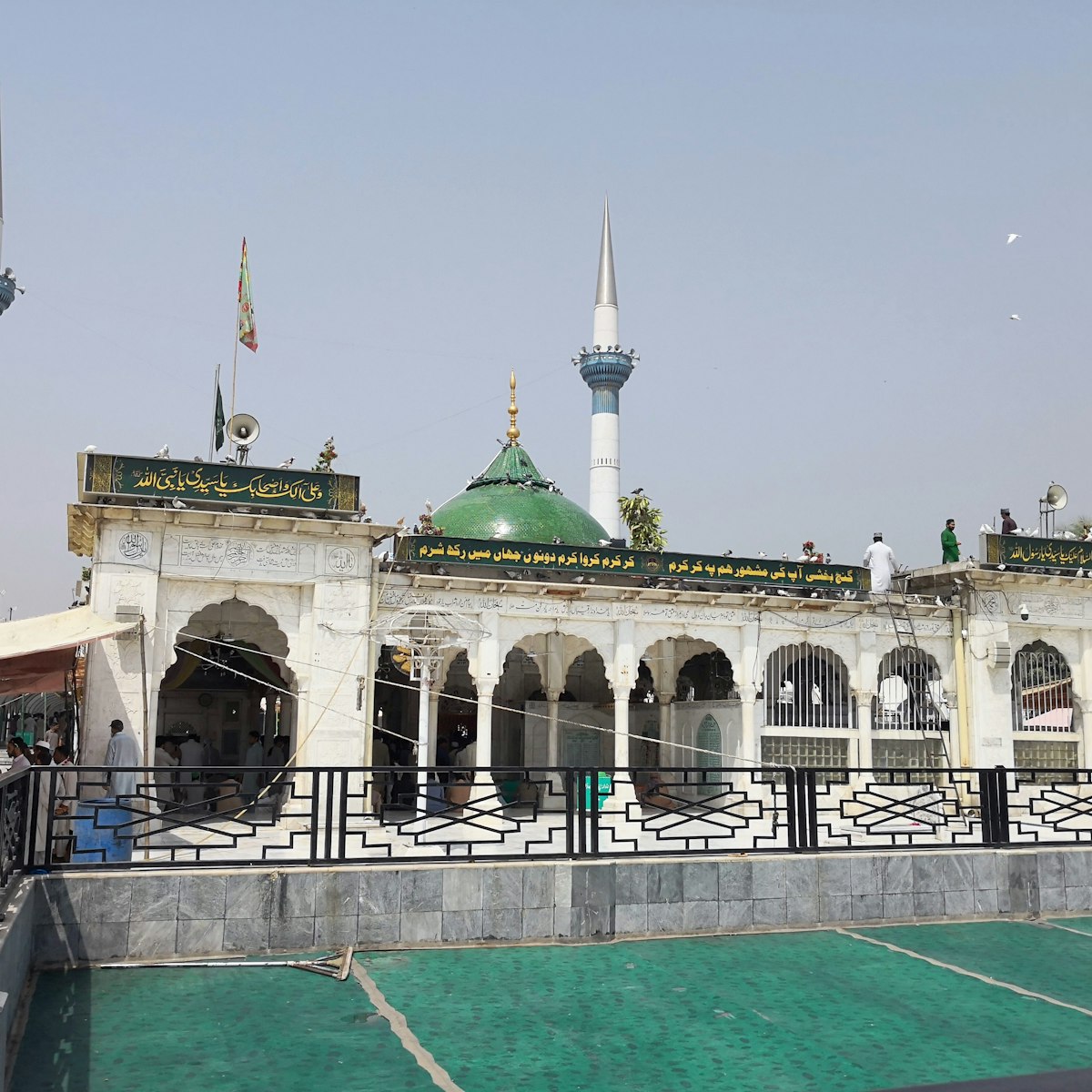
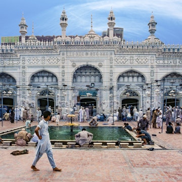
Shrine of Data Ganj Bakhsh Hajveri
Lahore
Author of a famous book on mysticism, the 11th-century Data Ganj Bakhsh, originally from Ghazni in Afghanistan, was one of the most successful Sufi…
Attractions
Top picks from our travel experts
Pakistan
Only the most enthusiastic fan of Islamic architecture could fully appreciate all of Multan's shrines, tombs and mosques in a fleeting visit. Many are…
Lahore
Completed in 1674 under Aurangzeb as the Mughals' final architectural fling, the sublime Badshahi Mosque, opposite the main gateway to the Lahore Fort, is…
Islamabad & Rawalpindi
Lok Virsa Museum houses a fascinating array of traditional handicrafts including embroidered costumes, old jewellery and intricate woodcarvings - it is…
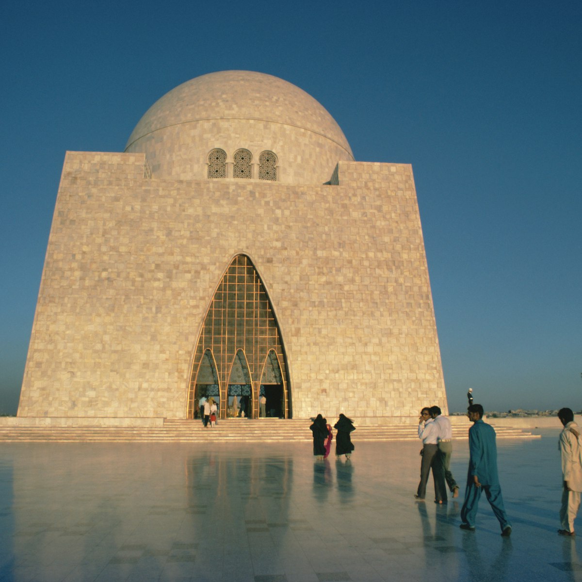
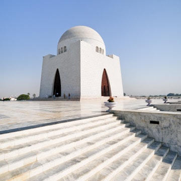
Karachi
This curiously shaped mausoleum is a monument to Pakistan's founder, Mohammed Ali Jinnah. It's set at the top of a stepped pyramid in a small park. Built…
Planning Tools
Expert guidance to help you plan your trip
Best Things to Do
From hiking through epic landscapes to touring museums and sampling street food, here are the best things to do on a visit to Pakistan.
Read articleThings to Know
Pakistan is a thrilling destination, but travel here can be challenging for the unprepared. Here’s what you need to know before you visit.
Read articleTransportation
Information about public transport in Pakistan can be difficult to find online. Here's everything you need to know about getting around when you arrive.
Read articleVisa Requirements
Pakistan is an adventurous destination, and it’s getting easier to visit all the time. Here’s what you need to know about getting a visa.
Read articleMoney and Costs
Pakistan is one of Asia’s most affordable destinations. With these budget travel tips, you’ll save on flights, accommodation, food and more.
Read articleTraveling with Kids
Follow these insider tips and you'll find Pakistan is a great place to travel with kids.
Read articleBest Road Trips
Whether you drive yourself or hire a car and driver, Pakistan is a spectacular place to take a road trip. Here’s our pick of Pakistan's best drives.
Read articleArticles
Latest stories from Pakistan
Filter by interest:
 Destination PracticalitiesHow to get around Pakistan by road, rail and air
Aug 30, 2023 • 12 min read
 ArticlesWhat a near-death experience in Pakistan taught me about the kindness of strangers
Dec 2, 2022 • 8 min read
in partnership with getyourguide
Book popular activities in Pakistan
Guidebooks
Purchase our award-winning guidebooks
Get to the heart of Pakistan with one of our in-depth, award-winning guidebooks, covering maps, itineraries, and expert guidance.
![Derawar fort was first built in the 9th century AD by Rai Jajja Bhatti, a Hindu ruler of the Bhatti clan,[2] as a tribute to Rawal Deoraj Bhati the king of Jaisalmer and Bahawalpur.](https://lp-cms-production.imgix.net/2022-03/iStock-1188794818%20RFC.jpg?auto=format&fit=crop&w=360&ar=1:1&q=75)