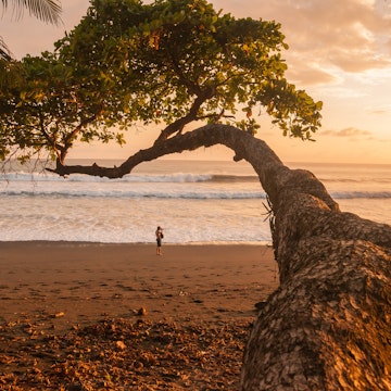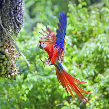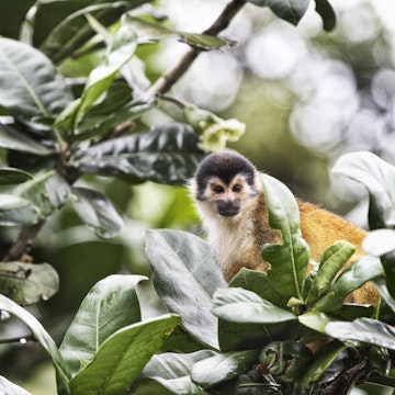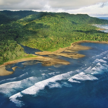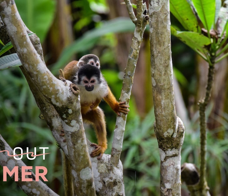
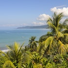
Southern Costa Rica & Península de Osa
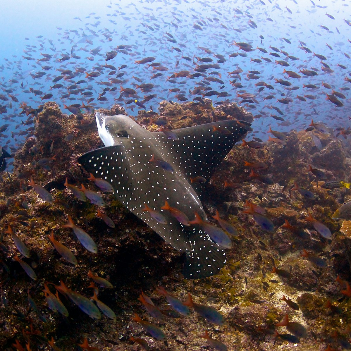
Around 500km southwest of the Costa Rica mainland, Isla del Coco is a natural wonder that teems with wildlife, including the largest schools of hammerhead…
Getty Images/age fotostock RM
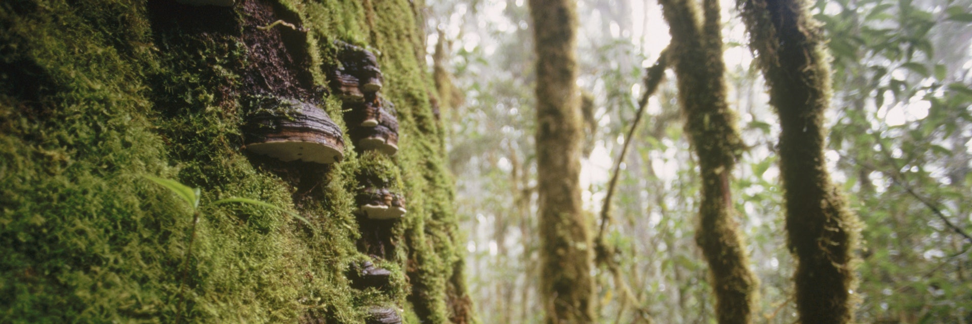
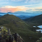
From the chilly heights of Cerro Chirripó (12532ft, 3820m) to the steamy coastal jungles of the Península de Osa, this sector of Costa Rica encompasses some of the country's most remote land. Vast tracts of forest remain untouched in Parque Internacional La Amistad, and the country's most visible indigenous groups – the Bribrí, Cabécar, Boruc and Ngöbe – maintain traditional ways of living in their territories.
Experience the real Southern Costa Rica & Península de Osa. Let a local expert handle the planning for you.
Get startedSouthern Costa Rica & Península de Osa
Around 500km southwest of the Costa Rica mainland, Isla del Coco is a natural wonder that teems with wildlife, including the largest schools of hammerhead…
Southern Costa Rica & Península de Osa
The world-class Wilson Botanical Garden is internationally known for its collection of more than 2000 native Costa Rican species. Species threatened with…

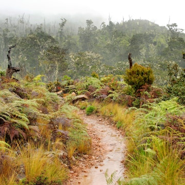
The Road to Chirripó
About 2km past the trailhead to Cerro Chirripó you will find the entrance to the mystical, magical Cloudbridge Nature Reserve. Covering 283 hectares on…
Southern Costa Rica & Península de Osa
This site, 4km north of Sierpe, offers the best opportunity to view the mysterious pre-Columbian spheres created by the Diquís civilization between 300…
Southern Costa Rica & Península de Osa
Set on a verdant hillside between Pavones and Punta Banco, Tiskita Jungle Lodge consists of 100 hectares of virgin forest and a huge orchard, which…
Southern Costa Rica & Península de Osa
While much of the Cordillera de Talamanca is difficult to access, Costa Rica’s highest peak, Cerro Chirripó (3820m), is the focus of popular two-day…
The Road to Chirripó
Queso is not Costa Rica’s strong suit, but this little cheese operation, run by a former president’s son, is one example to the contrary. Abel Pacheco has…
Southern Costa Rica & Península de Osa
Just past Playa San Josecito is the less famous but more impressive beach, Playa Rincon de San Josecito. It's a vast stretch of sand – 1km or more –…
Filter by interest:
Jun 28, 2021 • 6 min read

Get to the heart of Southern Costa Rica & Península de Osa with one of our in-depth, award-winning guidebooks, covering maps, itineraries, and expert guidance.