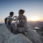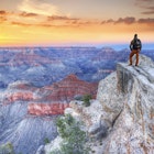
You rub your eyes to make sure it’s real – a 360-degree view from atop the highest peak in the continental US across a sea of granite and snowcapped peaks. Short of breath and legs tingling from the climb, you see creeks flowing from mountaintops down to alpine lakes, with the trail you just hiked meandering its way through it all.
Nothing out there is quite like the John Muir Trail. What does it take to complete this world-famous trail of over 46,000 feet of elevation change, six high-elevation mountain passes and three national parks? A sense of wonder – and drive.
Overview
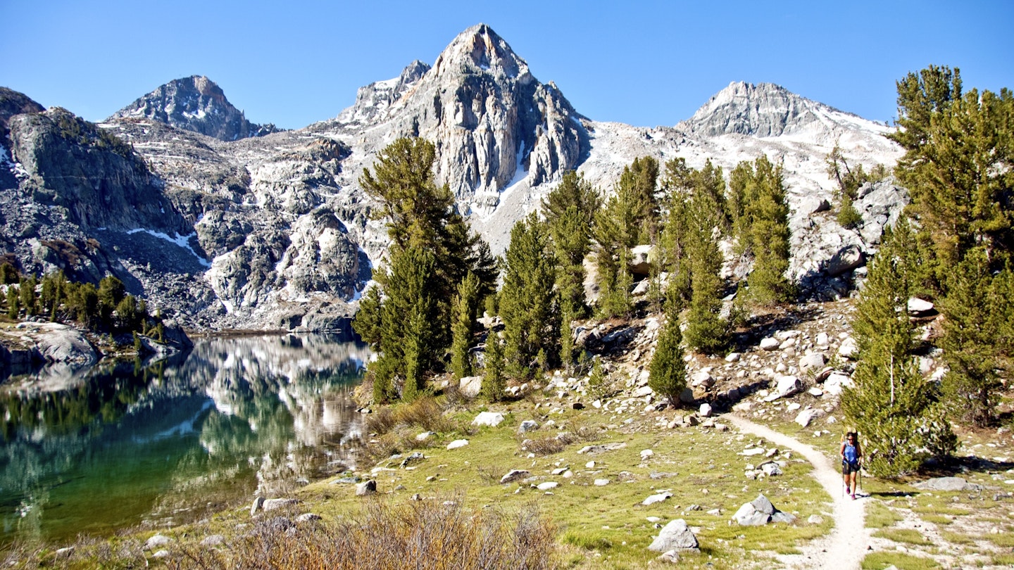
The John Muir Trail (originally called Nüümü Poyo by the Paiute tribe, who originally resided in the area and established a trade network upon which the JMT is built) is a 211-mile trek through the heart of the Sierra Nevada mountain range in California, traversing three national parks and exceeding altitudes of 14,000 feet. Hikers follow creeks, climb up and over passes more than two miles high, and carve a path that meanders wonderfully in sync with the surrounding natural beauty.
Whether you're starting at the northern terminus of Yosemite National Park, or in the south at the Mt. Whitney Portal, this backpacking trip will test your lung capacity and your neck muscles, as you’ll constantly be gazing upward at the granite spires. From creek crossings to crampons, mosquito bites to bear canisters, here are some basic tips, tricks and insider secrets for anyone who wishes to commune with nature and experience the best of the West.

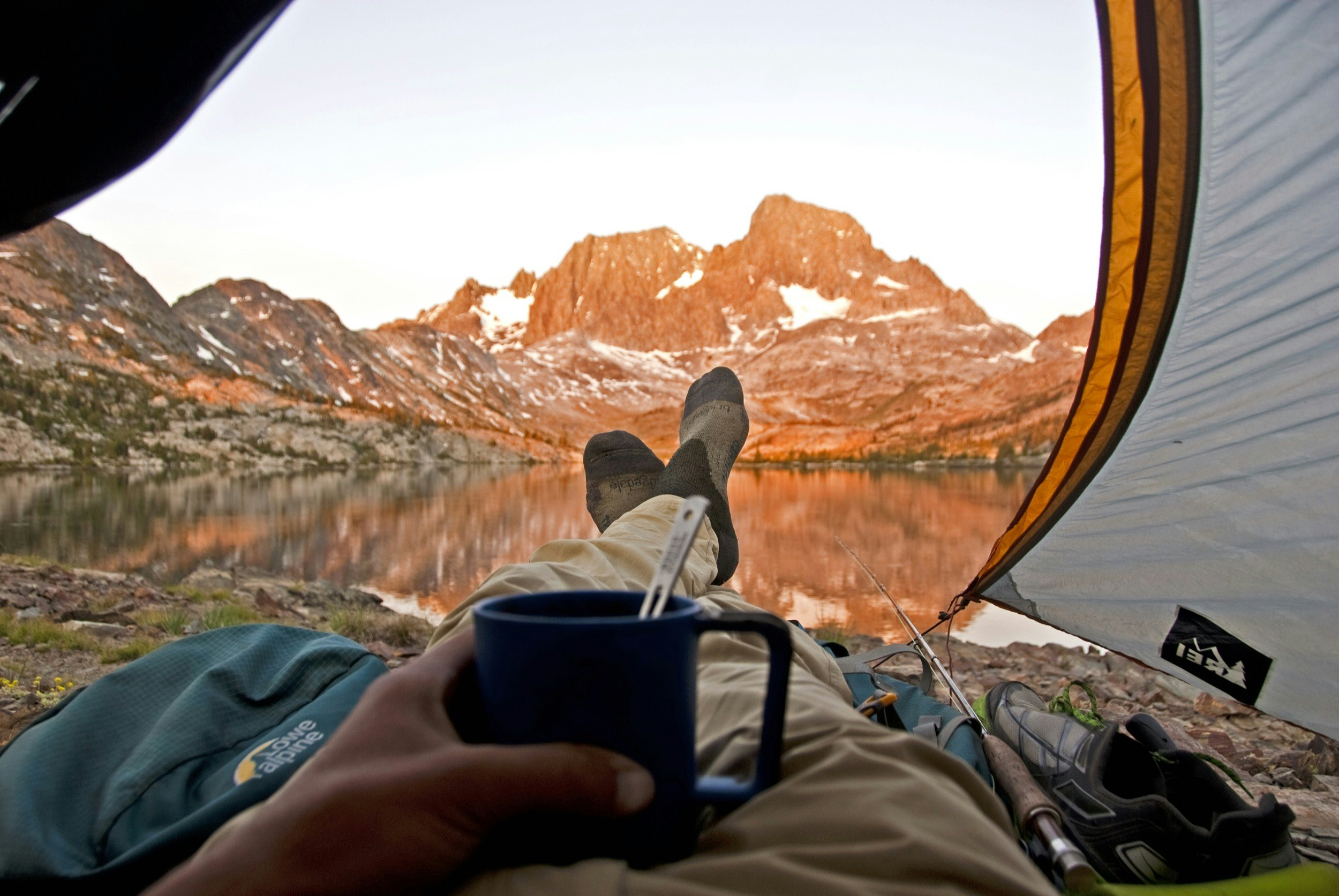
What To Expect
Don’t plan to be alone on this trail. Whether you decide to hike it solo or with a group, you aren’t the only hiker who dreamed of backpacking the JMT. It is so popular you must go through a lottery to score the permit required to hike the trail, which helps cut down on the crowding and preserves the environment.
Terrain: Depending on the previous winter’s snowfall, you could be hiking on bare granite or your entire hike will require crampons and an ice axe. Be prepared to go from 7,000 feet to over 10,000 daily – possibly twice a day. With creek crossings, rock hopping, and constant switch-backs, the only thing the trail isn’t is flat.

Weather: Thunder and lightning threaten almost every afternoon. From 3 to 6pm, it is highly advisable to stay at lower elevations if possible. Even if the weather forecast calls for clear skies, this range makes its own weather. There is also a saying: “There are two seasons – winter and July.” In other words, snow can happen any day of the year. An average winter will lay permanent snow on every pass.
Accommodation: Where you sleep depends on what you brought with you. A tent, sleeping pad and sleeping bag are all musts for comfort and safety. There are a couple of permanent accommodations including the John Muir Lodge, Vermillion Valley Resort, and a few relatively nearby towns. Most hikers get off the trail occasionally to re-supply and enjoy the amenities of a hotel or other lodging.

Preparation
When to Hike: No matter when you want to make the trek, your actual dates will likely depend on how the permit process unfolds. Late July to early September is the most desired window, when the passes will have less snow and the heat of the summer sun is in full effect.
Training: Many hikers train by trail running, but even a simple jog around the block with weekly increases in mileage can have a huge impact on your hike. Besides blisters, mosquitoes, and exhaustion, muscle tears are the number one cause of injuries – stretching can help prevent those from happening. Mental training is paramount, but pretty much anyone can get in the right headspace for the JMT.
Skills: Surprisingly, it takes little skill to hike the trail. You will climb passes above 13,000 feet at times, but in reality all you’re doing is walking with a backpack on – don’t overthink it. Basic map reading and first aid skills are recommended, but an intimate knowledge of your gear is most important.
Gear: A several-liter backpack, warm and lightweight sleeping bag, sleeping pad, three-season tent, and water purifier are the basic piece of outdoor gear you need for survival. Rain gear, down jacket, base layers, bug spray, camp stove, hat, sunglasses, sun screen, trekking poles, extra socks, trail shoes, bear canister (to protect your food), and a camera are all necessary. Do your best to pack as light as possible – the heavier your pack, the slower you’ll go.
Provisions: You can carry enough food for the length of your hike, but it will be heavy. You can get into nearby towns to re-supply at grocery stores and spoil yourself with town food, or send yourself food packages to the post offices at the lodges and general stores along the way. While it’s common practice in the region around the trail, hitchhiking to resupply is never entirely safe and we don’t recommend it. Travelers who hitch should understand they are taking a small, but potentially serious, risk.
Getting There: Apply for your wilderness permit at recreation.gov if you want to start at the southern terminus and NPS.gov to start in Yosemite. Remember it is a lottery, and you need to plan in advance. Applications are accepted 168 days before your hike for Yosemite, and between Feb. 1 and March 15 for the start in the south. Available slots do fill within the first day of registration opening. Once you have your permit you can fly in to Mammoth Lakes, which is the closest airport, and has connections from LAX.
You might also like:
Every kind of hike: Mexico to Canada on the Pacific Crest Trail
The top 10 US long-distance hikes
Best foot forward: hiking your way around the world
This article was originally published in November 2019. It was updated November 2020.