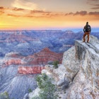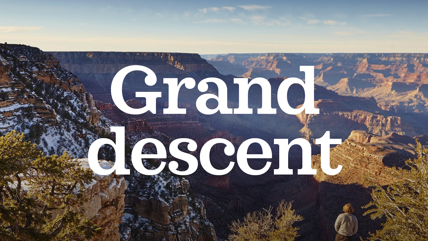
The Grand Canyon is one of America's greatest wonders – we take an epic off-season walk to the bottom of the mighty crevasse.
For geologists, there’s no place on Earth like the Grand Canyon. Nearly two billion years of the planet’s history are encapsulated in the canyon’s mile-high jumble of fossil-laden rock layers, allowing scientists to take a mesmerising walk back through time.
Science was never my thing, but universities have standards, and mine wanted me to complete three science classes. So when I saw ‘Geology of the Grand Canyon’ among the autumn course options for my second year, it was manna from heaven.
Taught by two long-haired graduate students, this course’s big appeal was that its weekly classroom sessions would be complemented by a semester-ending Thanksgiving trek under the full moon into the depths of America’s greatest natural wonder. I signed up on the spot. Two months later, on a chilly late-autumn evening, I found myself driving through the night from the San Francisco Bay Area to the canyon’s South Rim, serenaded by the Grateful Dead in a car of like-minded renegades.
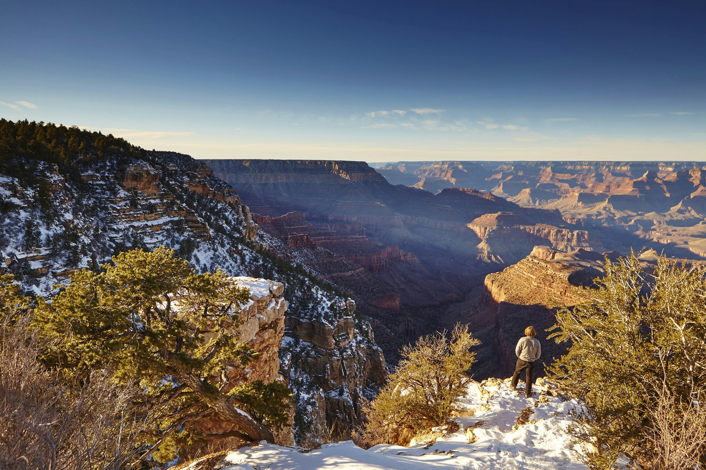
We arrived just as dawn was sending red shoots through the steely November sky, illuminating a couple of inches of snow on the canyon rim and the endless folds of the chasm beyond. Starting from the New Hance trailhead, we were to chart a precipitous seven-mile course down to the Colorado River via the Red Canyon ravine, returning via the more gradual Tonto and Grandview Trails. Our instructors had chosen this route – one of dozens that descend into the canyon – because of its varied geological interest and its relative efficiency in reaching the bottom. The pitfalls of this approach soon became apparent: this entire first day would be down, down, relentlessly down from rim to river. (For several weeks afterwards, the toll on my knees was palpable, as even climbing a simple staircase back home became excruciatingly painful.)
Once you get below the rim, the world changes. Sheltered from the harsher conditions of the high-altitude Colorado Plateau, the trail soon left the snow behind and we entered a world of layered desert landscapes, where the intricacies of Kaibab limestone, Coconino sandstone and Bright Angel shale we had seen traced on the classroom blackboard suddenly emerged into vivid real-world focus. The canyon, so huge and limitless from above, narrowed to intimacy as we stair-stepped down into it, winding between rocky outcrops dotted with juniper and piñon pines, and losing sight of the Colorado River. Here, the many colours of the canyon walls – reds, whites, green-greys, creams, oranges and ochres – revealed their textures as we drew closer to them, one layer at a time.
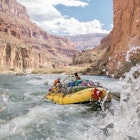
After hours of dogged descent, we eventually reached the river at Hance Rapids, setting up camp above a sandy beach at the foot of a jagged red-rock pinnacle. Down here, the early winter sun managed to nudge the thermometer up to around 15°C, and some of us were tempted to take a dip. But with the river temperature below 4°C, even a quick swim bordered on the masochistic; I paddled about two arms’ lengths into the icy water before reconsidering and racing to shore. Later, as sunset yielded to a full moon, eerily illuminating the river and surrounding desert, our instructors constructed a makeshift sweat lodge from the coyote willows lining the river bank, and we took turns getting overheated and refrozen on repeat journeys between sauna and river.
Our day on the bottom was filled with teachable moments, as the canyon itself became an impromptu classroom. Along with exploring the beaches, climbing the pinnacle above camp and rustling up a pale imitation of a Thanksgiving dinner, we passed the time discussing geologic esoterica such as Vishnu schist and the Great Unconformity, while recuperating for the long climb ahead.
The next two days would be spent relentlessly slogging back uphill from 795m to 2,255m. (Exiting the canyon in a single day is generally out of the question, except for the supernaturally fit or the borderline insane.) Our plan was to make an intermediate overnight stop at the 1,493m Horseshoe Mesa, a hulking semicircular rock outcropping where prospector Pete Berry struck a rich vein of copper in 1890 and founded his legendary Last Chance Mine.
Signs of the region’s mining history appeared as we passed through the imposing cliffs of Redwall limestone at the base of the mesa. Openings in the hillside hinted at the 19th-century mine shafts just below, while rocks flecked with dazzling blue and green crystals of azurite and malachite littered the trail’s edges. Our last night in the canyon was spent in moonlit exploration, wandering past the foundations of abandoned mine buildings to the mesa’s far northern reaches, where the now-distant Colorado River could be seen dimly sparkling in hallucinatory half-light, 700m below.
Another day, another climb. Our final exit route to the canyon rim retraced the steps of mules employed to haul copper off Horseshoe Mesa up to Pete Berry’s Grandview Hotel. The hotel is long gone, but the route remains. Feeling a bit like overburdened mules ourselves, we headed back up through the familiar Coconino sandstone, emerging again at the snow-covered rim where our trip had started four days before – exhausted, elated and ready to do it all again. And maybe, just maybe, having learned a little something about all those beautiful rocks.
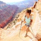
Hiking in the Grand Canyon
The New Hance Trail (part of the 21-mile route covered here) is one of the most challenging hikes on the Grand Canyon’s South Rim. It’s barely marked, though you’ll find information on the national park website.
Unless you have proper experience of hiking and camping in tough terrain, it’s best to try a day hike or one of the more accessible multi-day trails in the park. For first-timers, an obvious choice is the well-maintained and relatively shady Bright Angel Trail, which has two ranger stations and frequent potable water sources. For views that are equally inspiring, but much less known, drive to the more remote North Rim, on the far side of the Colorado River.
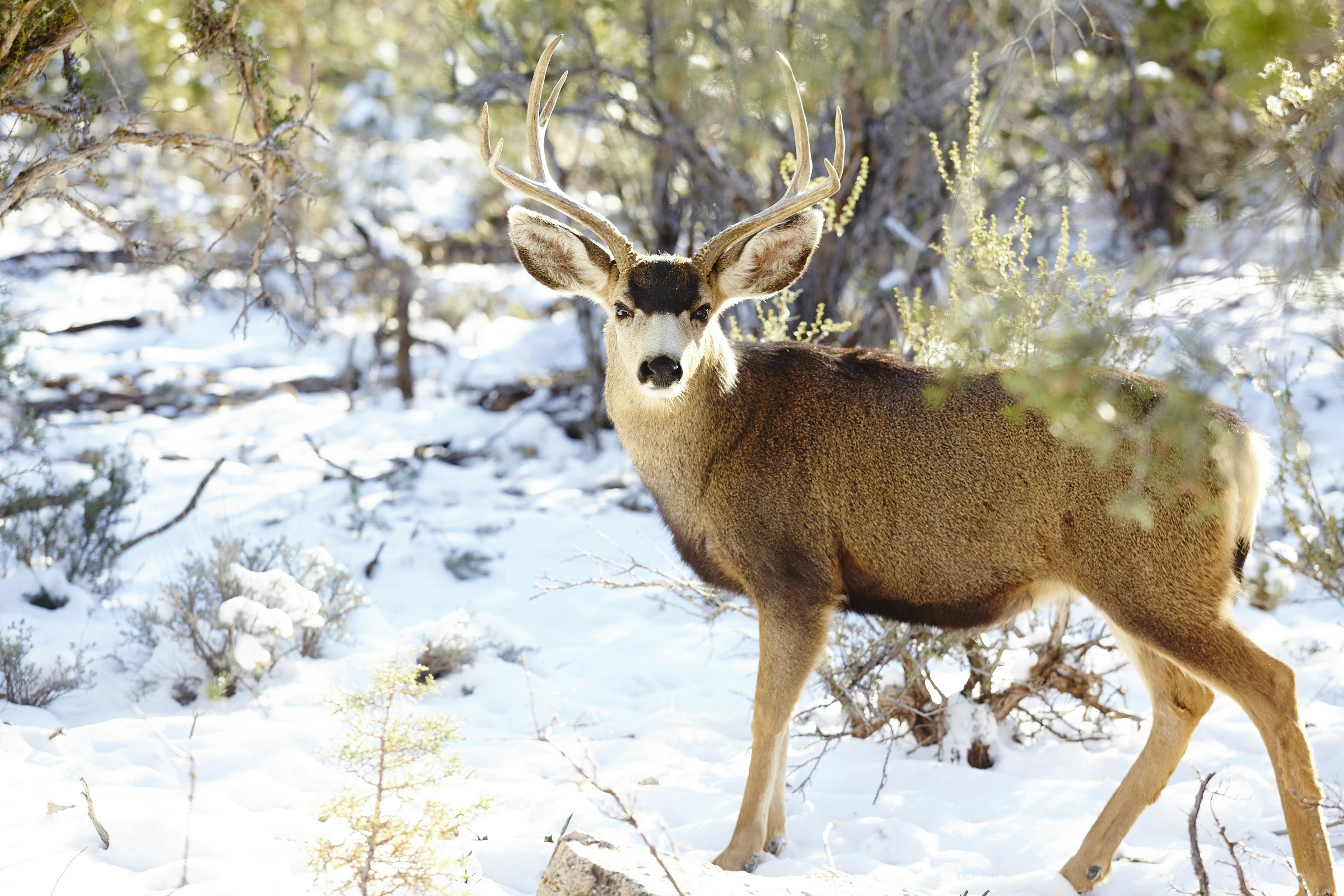
If you’re going into the Grand Canyon’s back-country on anything longer than a day-hike, you’ll need a permit, which should be reserved at least four months in advance at nps.gov/grca. Away from the park’s busier areas, look out for wildlife including mule deer, elk, rattlesnakes, coyotes and bighorn sheep. Rarer sightings might include mountain lions, bald eagles and California condors.
Getting to the Grand Canyon
The closest international airports to the Grand Canyon are Phoenix (3¾ hours’ drive to the Grand Canyon’s South Rim, six to the North Rim) and Las Vegas (4½ hours to the South Rim, five to the North Rim).
When to go
Summer months (June–September) see peak visitor numbers and also the highest temperatures. Hiking is more comfortable on average in the shoulder seasons of April, May and October. Winter walks can also be spectacular if you’re adequately kitted out. Though the access roads to the North Rim close to all vehicles between mid-October and mid-May, the South Rim stays open through the winter.