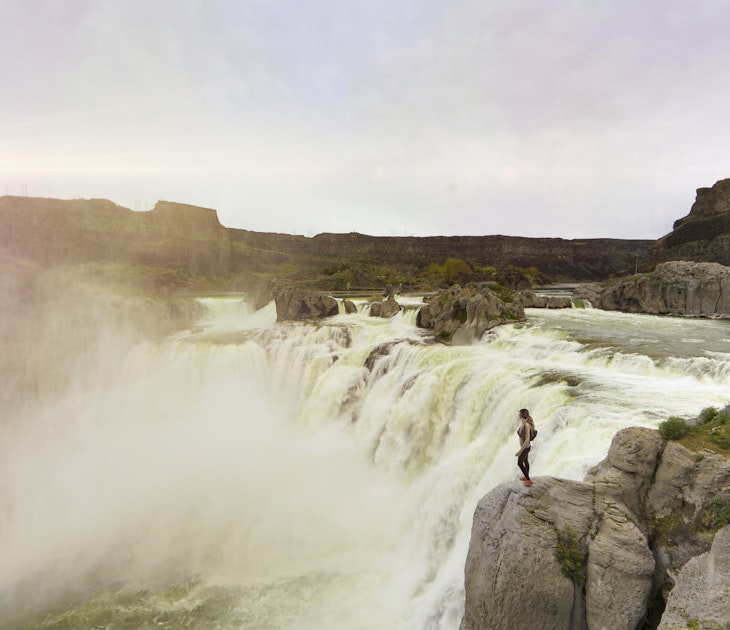
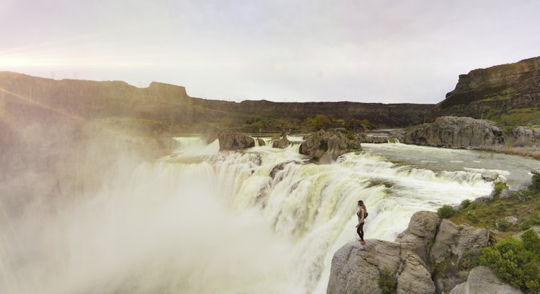
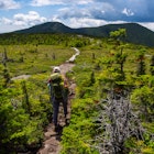
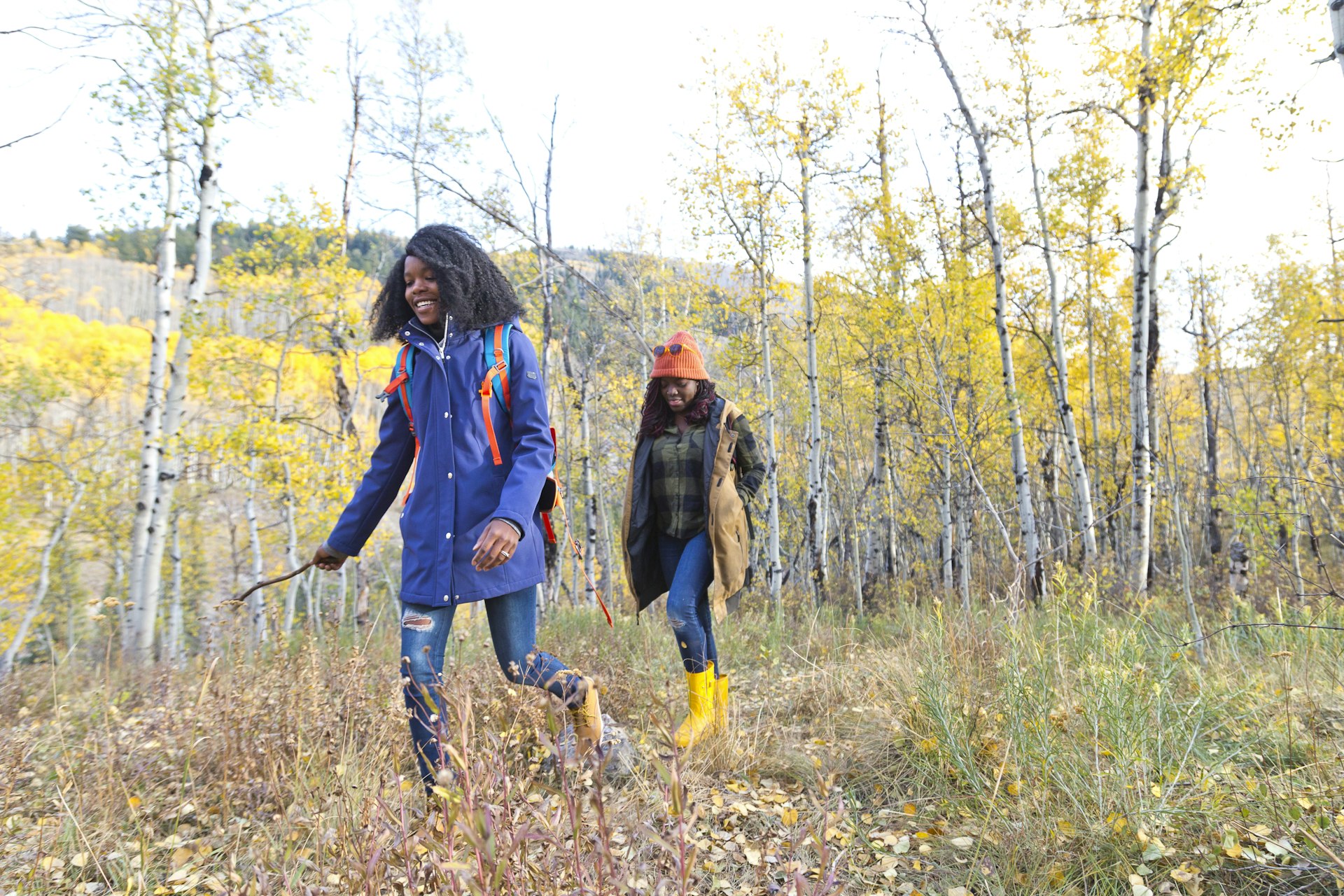
With its abundant groves of aspen trees, colorful wildflowers, lush evergreen forests, rushing creeks and rocky, high-altitude terrain, Aspen is a popular outdoor recreation destination with hiking trails for all ability and fitness levels.
Tucked down in the valley of the Roaring Fork River, Aspen is surrounded by the towering, craggy peaks of Colorado’s Rocky Mountains (some, called “14ers,” standing more than 14,000 feet tall). This means there’s quick, easy access to varied hiking terrain right from town – often, you can be out the door and at the trailhead in less than 10 minutes.
Hiking (along with mountain biking, cycling, skiing and other sports) is a way of life here and one of the best things to do while you're in Aspen. Many locals hike multiple times a week, holding business meetings or taking calls while out on the trails.
Popular trails, especially those close to town, tend to get busy during the summer. But in the spring, fall and winter (and in the very early morning hours), you’ll have the trail mostly to yourself and may even encounter local wildlife like deer, fox, elk, moose and hundreds of species of birds.
Ute Trail
Best hike for fitness
6 miles (9.65 km) round trip, 2-4 hours, difficult
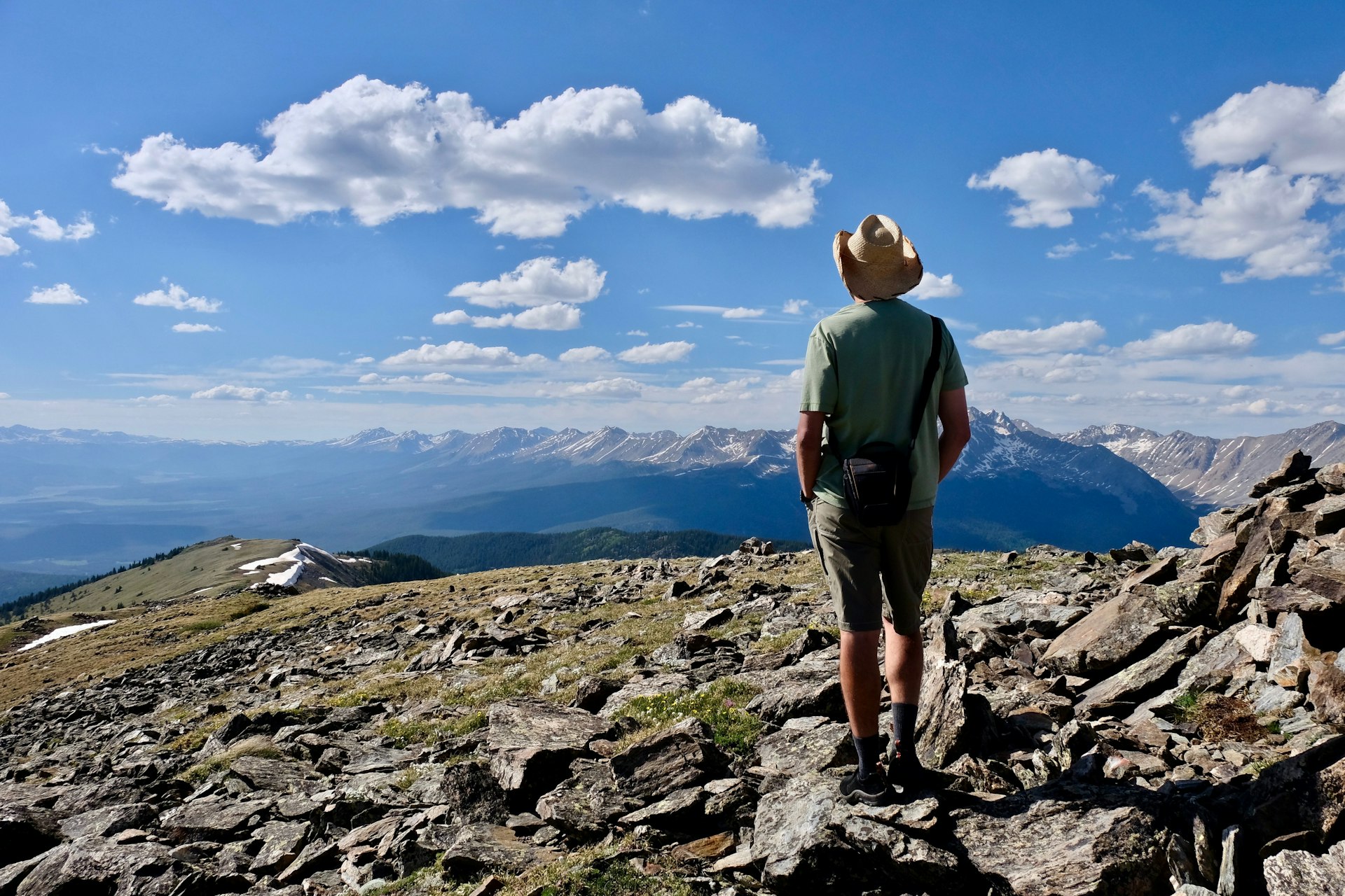
Want to hike up the same terrain in the summer as you can ski down in the winter? The Ute Trail climbs 3,000 feet to the summit of Aspen Mountain, aka “Ajax,” among aspen and evergreen trees. It’s an intense workout (Aspenites use it to gauge their fitness levels), but this hike offers dramatic views of the surrounding mountain peaks and the town below. Plus, you’ll get an up-close-and-personal look at the ski resort without any snow, complete with chair lifts overhead.
When you reach the summit, stop for a burger at the Sundeck restaurant, then hop aboard the Silver Queen Gondola for the ride down if your legs and lungs need a break. (Note that the gondola is open daily from July through September, then weekends only from September to October. Tickets start at $31.)
If you’re short on time or looking for a quick family hike, climb approximately one mile to the Ute Rock Overlook (with lots of switchbacks), then turn around and head back down into town.
Smuggler Mountain: best quick hike for views
3 miles (4.82 km) round trip, 1-1.5 hours, easy
Many Aspenites love this route because it’s quick and easy to get to from downtown, making it the perfect lunch break or after-work hike. The trail is actually a dirt road that climbs Smuggler Mountain with many steep switchbacks, but all the effort is worth it for the views.
Many people hike up 1.5 miles to an overlook platform that provides a panorama of the city below, then head back down the same way they came. This is one of the most popular trails in Aspen, so expect to encounter lots of other hikers (and tons of dogs!) along the way. There’s very little shade, so sunscreen and water are musts. You’ll see wildflowers in the middle of summer and the golden-yellow leaves of aspen trees in the fall, plus lots of shrubs and evergreens.
You can also extend this hike by connecting it with other routes, like Hunter Creek Trail, or by continuing on to Warren Lakes (about 12 miles roundtrip).
Lost Man Trail: best lake hike
8.8 miles (14.2 km) one way, 4-6 hours, moderate
Surrounded by craggy peaks on all sides, this point-to-point route offers a taste of Aspen’s rugged terrain. It has a subtle but steady incline, which can make it challenge for beginning hikers, especially those who are not yet acclimated to the altitude (Aspen itself sits at 7,908 feet above sea level). The route starts at 10,507 feet, then climbs to 12,800 feet before descending back down to 11,506 feet.
Along the way, you’ll pass by Lost Man Reservoir, Lost Man Lake and Independence Lake, plus traverse along Lost Man Creek and the Roaring Fork River at various points. The route is speckled with wildflowers from late June through August, and there’s a good chance you’ll encounter mountain goats in this alpine tundra environment.
Because this trail is not a loop (and would require walking along the busy Highway 82 on Independence Pass to get back to the trailhead), many people hike with a friend and park one car at the trailhead and one at the end of the route. To extend your time in the wilderness, nab one of the 10 first-come, first-served campsites at Lost Man Campground.
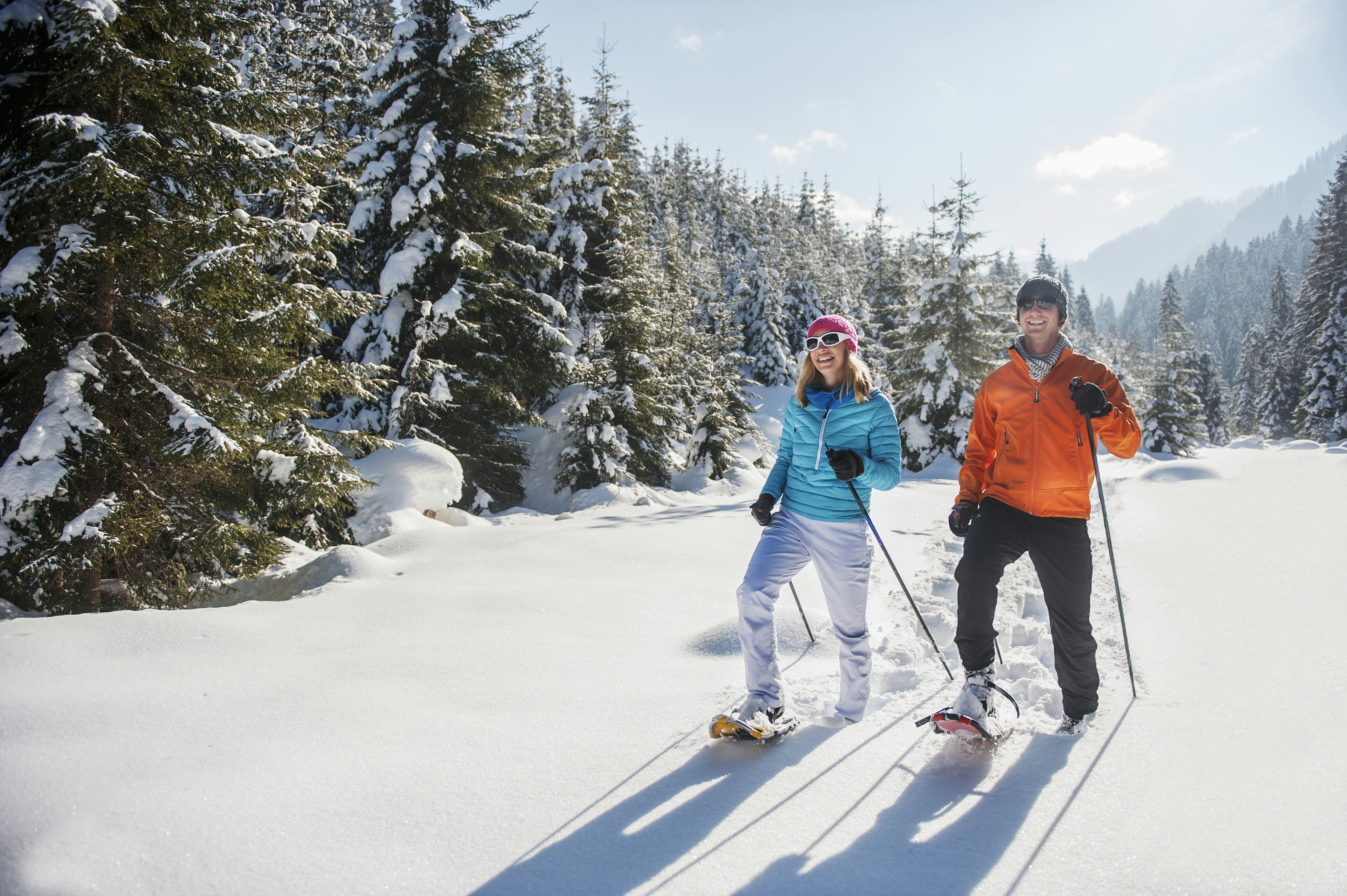
Difficult Creek Trail: best winter/spring hike
6 miles (9.6 km) round trip, 2-3 hours, moderate to difficult
For a peaceful and serene snowshoe trek that you’ll likely have all to yourself, head to Difficult Creek Trail, which starts about five miles southeast of downtown Aspen off Highway 82 within the Collegiate Peaks Wilderness. The best time to visit Aspen for this hike is winter or spring; you’ll be able to bask in the stillness and the sounds of snow crunching beneath your snowshoes.
The route climbs gently from 8,160 feet to 9,500 feet, traversing through fir and pine forests along Difficult Creek. There’s a short, half-mile section that’s steep and rocky, but after that, the trail mellows out and passes the remains of several historic cabins.
Rio Grande Trail: best accessible hike
42 miles (67.6km) one way, variable, easy
This mostly flat, mostly paved trail is one of the most accessible, beginner-friendly routes in Aspen. It’s a “rails to trails” project that transformed the historic Denver and Rio Grande Western Railroad corridor into a multi-use path for people of all abilities and fitness levels.
Pick up the trail just a few blocks north of downtown, then cross the Roaring Fork River for which this valley is named. The trail follows the river out of town toward neighboring Woody Creek (the former home of gonzo journalist Hunter S. Thompson), passing under a canopy of trees, beyond a waterfall and, eventually, into open meadows. The trail crosses some roads, but is otherwise protected from vehicle traffic.
The entire trail spans 42 miles between Aspen and Glenwood Springs, but it’s easy to walk, ride, roll or rollerblade for just a few miles, then turn back around. Much of the trail near Aspen is shaded, but if you head out further, prepare for sun. Parts of the trail are unpaved but the gravel is smooth and well-maintained.
Maroon Bells to Crested Butte: best multi-day hike
22 miles (35.4 km) round trip, 24-48 hours with overnight, difficult
Aspen and Crested Butte are 100 miles apart by car. But as the crow flies (and on foot), they’re a more manageable 11 miles apart, which makes it possible to hike between these two Colorado mountain towns.
This trek starts at the iconic Maroon Bells, the two widely photographed 14,000-plus-foot peaks that tower above Maroon Lake. Because the Bells are so popular, you’ll need to make a reservation and either take a shuttle ($16 round trip) or pay to park and leave your vehicle overnight ($10); if you’re parking during the high season, you must arrive before 8 a.m. (These rules can change, so be sure to read up on the latest guidelines before you lace up your boots.)
Read more: The best free Aspen experiences
From Maroon Lake, you’ll climb roughly 3,000 feet over West Maroon Pass before you start the descent toward Crested Butte, traversing through aspen groves, past Crater Lake and through the high alpine terrain above treeline – the wildflowers here are stunning in July and August. Many people spend a night or two in Crested Butte before hiking back to Aspen (several Crested Butte hotels offer shuttles to pick you up at the trailhead), but you can also camp just off the trail if you’ve got backpacking gear.
For a shorter, easier sunrise hike, head up to the Maroon Bells before dawn and snap a photograph of the twin peaks reflecting off Maroon Lake as the sun slowly turns them sparkly pink. Once you’ve got your picture, set off on the 1.5-mile one-way Maroon Lake Scenic Trail around the lake and along West Maroon Creek.
Cathedral Lake: best fall hike
5.6 miles (9 km) round trip, 3-4 hours, moderate/difficult
Cathedral Lake is an ideal day hike for scoping out the region’s colorful leaves in the fall. This trail through Pine Creek Canyon south of Aspen is steep, gaining roughly 2,000 feet over 2.8 miles, but rewards hikers with views of dancing golden-yellow aspens along the way and the stunning green-blue waters of the lake at the top. You’ll wind through aspen groves and spruce forests before climbing several steep switchbacks to reach the lake (which is a scenic place to stop for lunch!).
There’s very little shade on this trail and the route can get rocky and technical in some parts, so be prepared with sunscreen, water and hiking poles. There are a handful of dispersed backcountry camping sites below the lake if you want to make this an overnight trip; all backpackers are required to register at the trailhead and keep their paperwork with them at all times.
You might also like:
Into the green: eight destinations for an eco-friendly escape
How to road trip the Rocky Mountains on a budget
The easiest ways to get around Aspen