© Pakin Songmor/Getty Images
Thailand
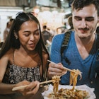
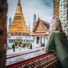
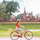
Gleaming temples and golden Buddhas frame the landscapes in Thailand, serving as a stunning backdrop for tours of Bangkok noodle shacks and adventures along the luxurious coastline.
Leave the planning to a local expert
Experience the real Thailand. Let a local expert handle the planning for you.
Get startedAttractions
Must-see attractions
Ko Ratanakosin & Thonburi
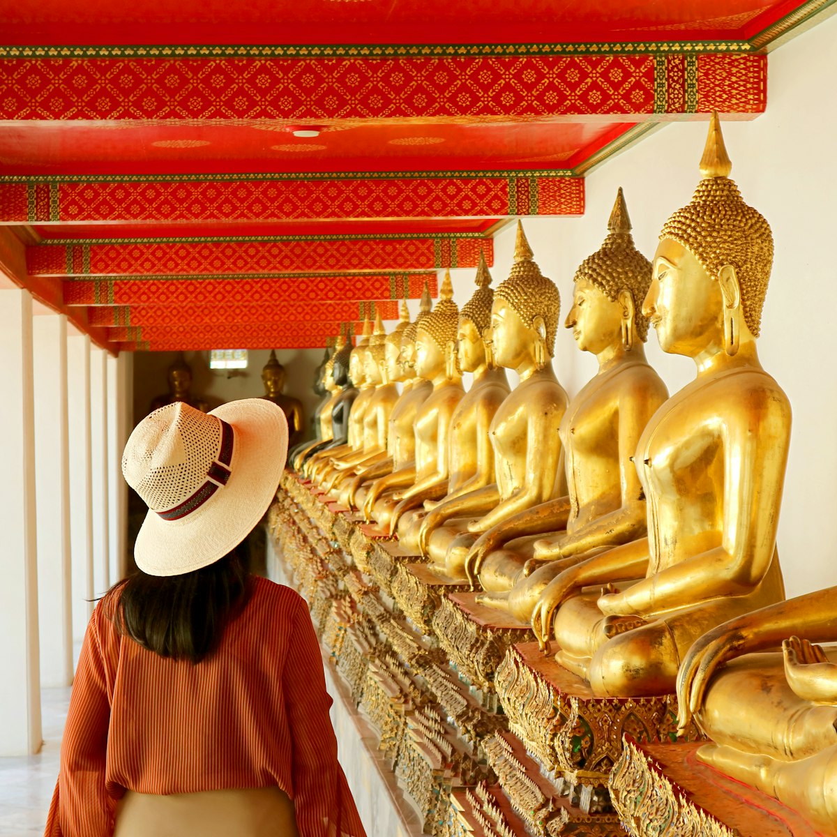
Wat Pho is our absolute favorite among Bangkok's biggest sights. In fact, the compound incorporates a host of superlatives: the city's largest reclining…
Ko Ratanakosin & Thonburi
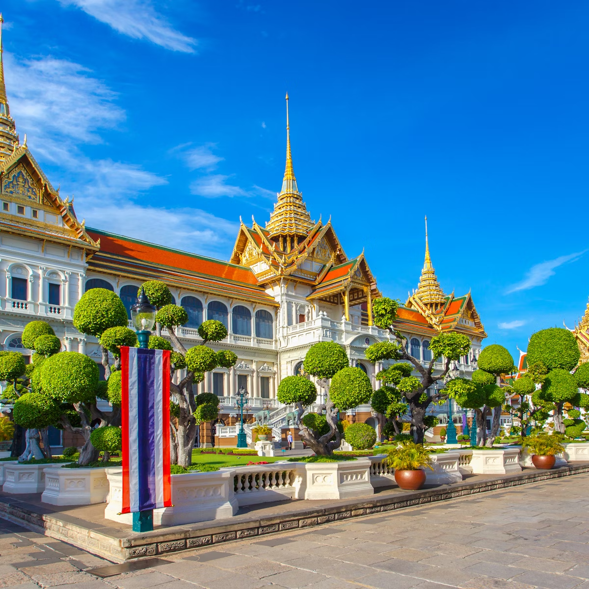
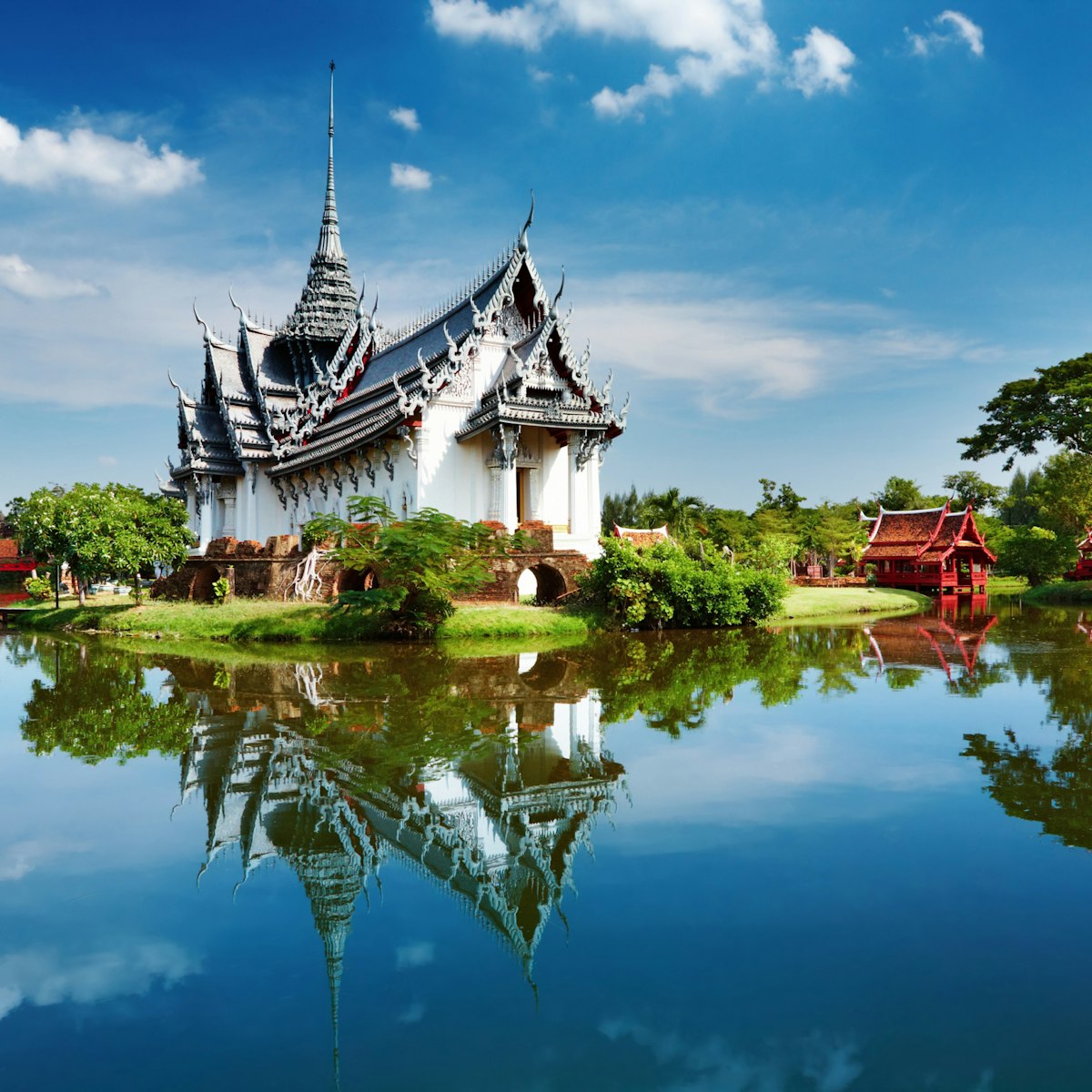
The Grand Palace (Phra Borom Maharatchawang) is a former royal residence in Bangkok that was consecrated in 1782. Today, it’s only used on ceremonial…
Ko Ratanakosin & Thonburi
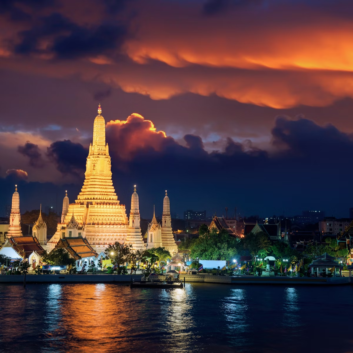
Wat Arun is the missile-shaped temple that rises from the Chao Phraya River's banks. Known as Temple of Dawn, it was named after the Indian god of dawn,…
Ko Ratanakosin & Thonburi
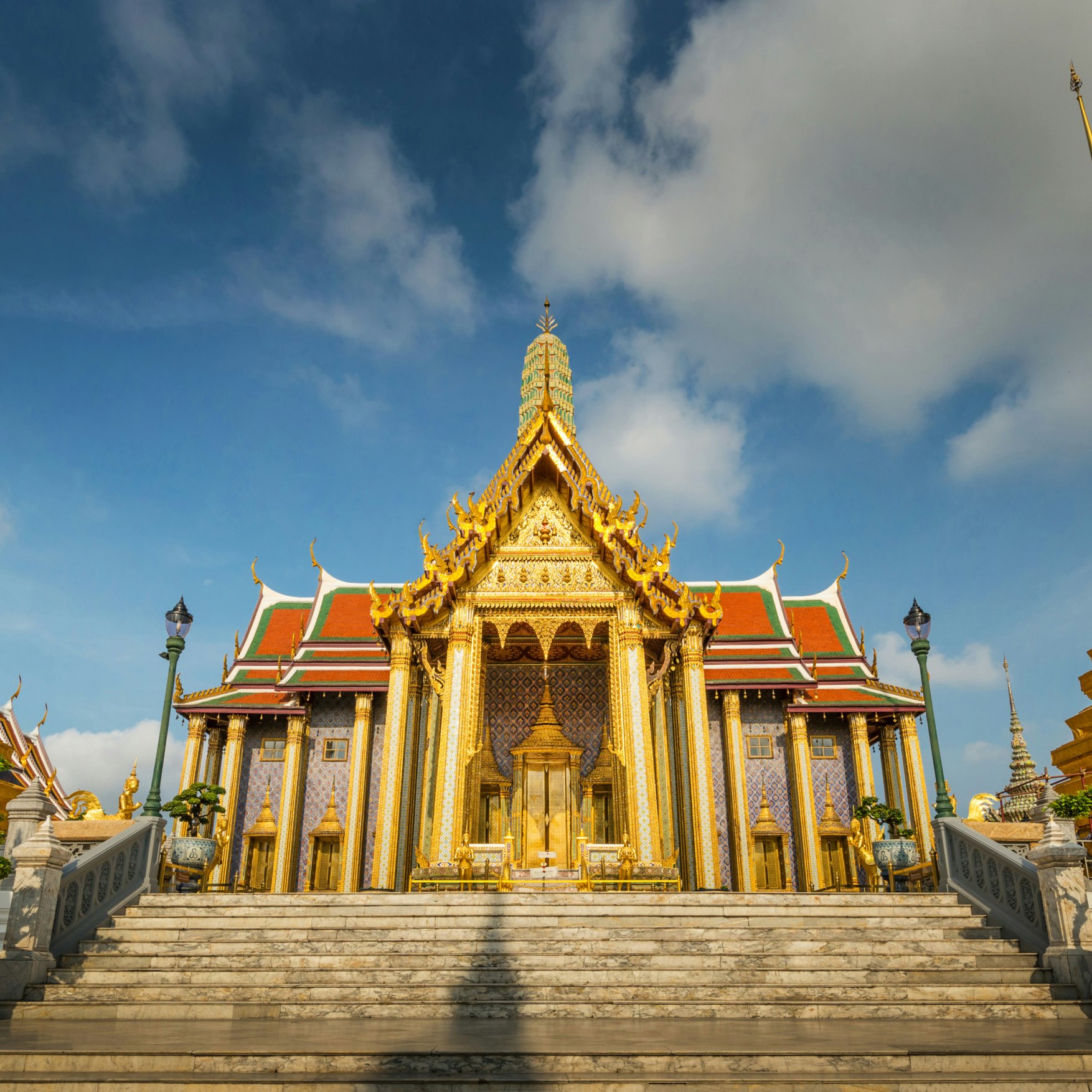
Architecturally fantastic, the Wat Phra Kaew temple complex is also the spiritual core of Thai Buddhism and the monarchy, symbolically united in what is…
Bangkok
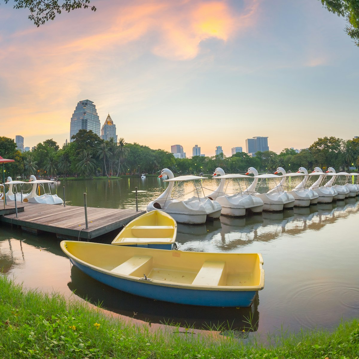
Named after the Buddha’s birthplace in Nepal (Lumbini), Lumphini Park is central Bangkok’s largest and most popular park. Its 58 hectares are home to an…
Banglamphu
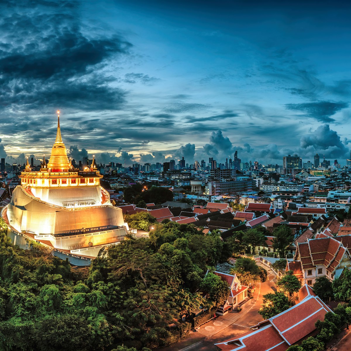
Even if you're wát-ed out, you should tackle the brisk ascent to the Golden Mount. Serpentine steps wind through an artificial hill shaded by gnarled…
Siam Square, Pratunam, Phloen Chit & Ratchathewi
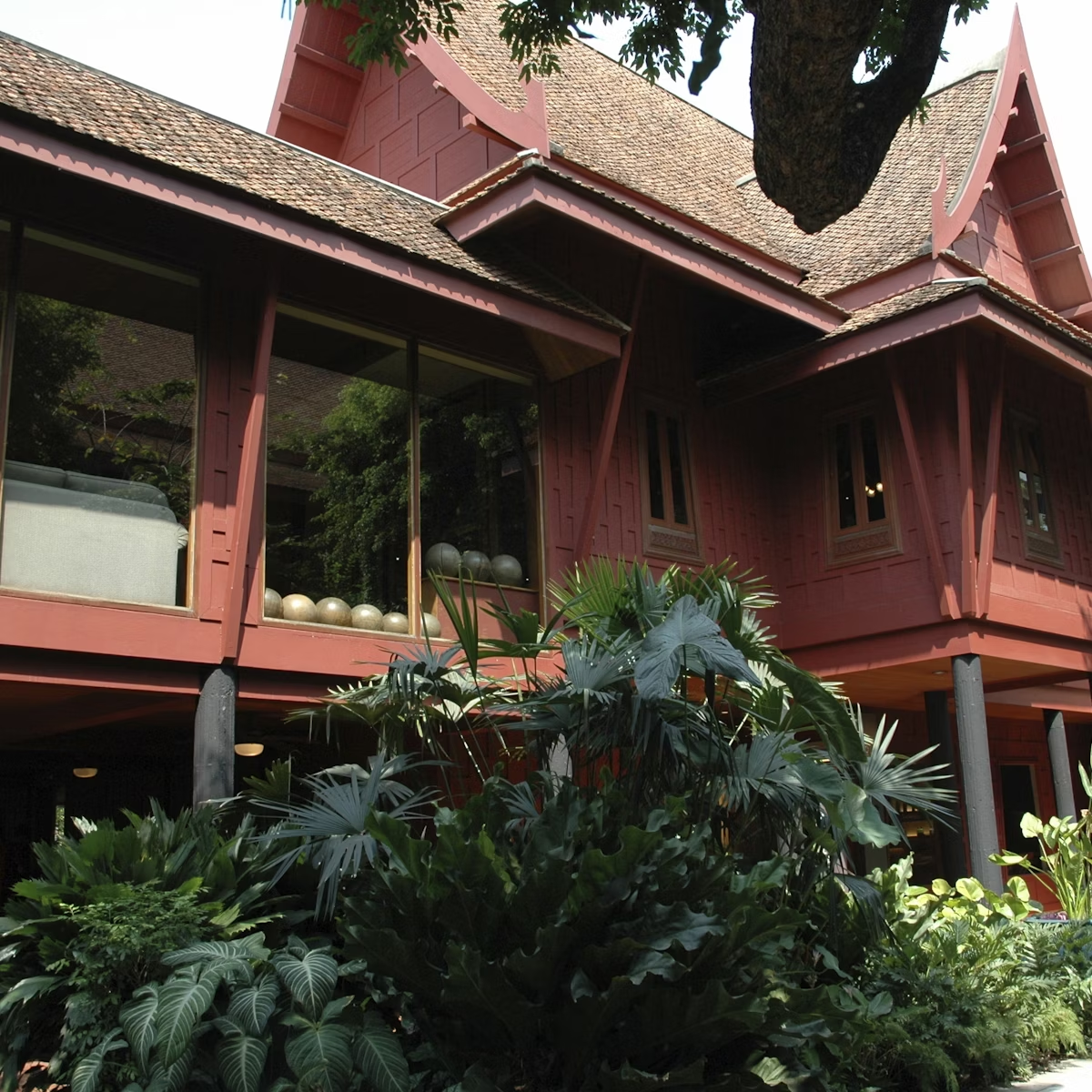
This jungly compound is the former home of the eponymous American silk entrepreneur and art collector. Born in Delaware in 1906, Thompson briefly served…
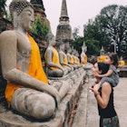
Sukhothai
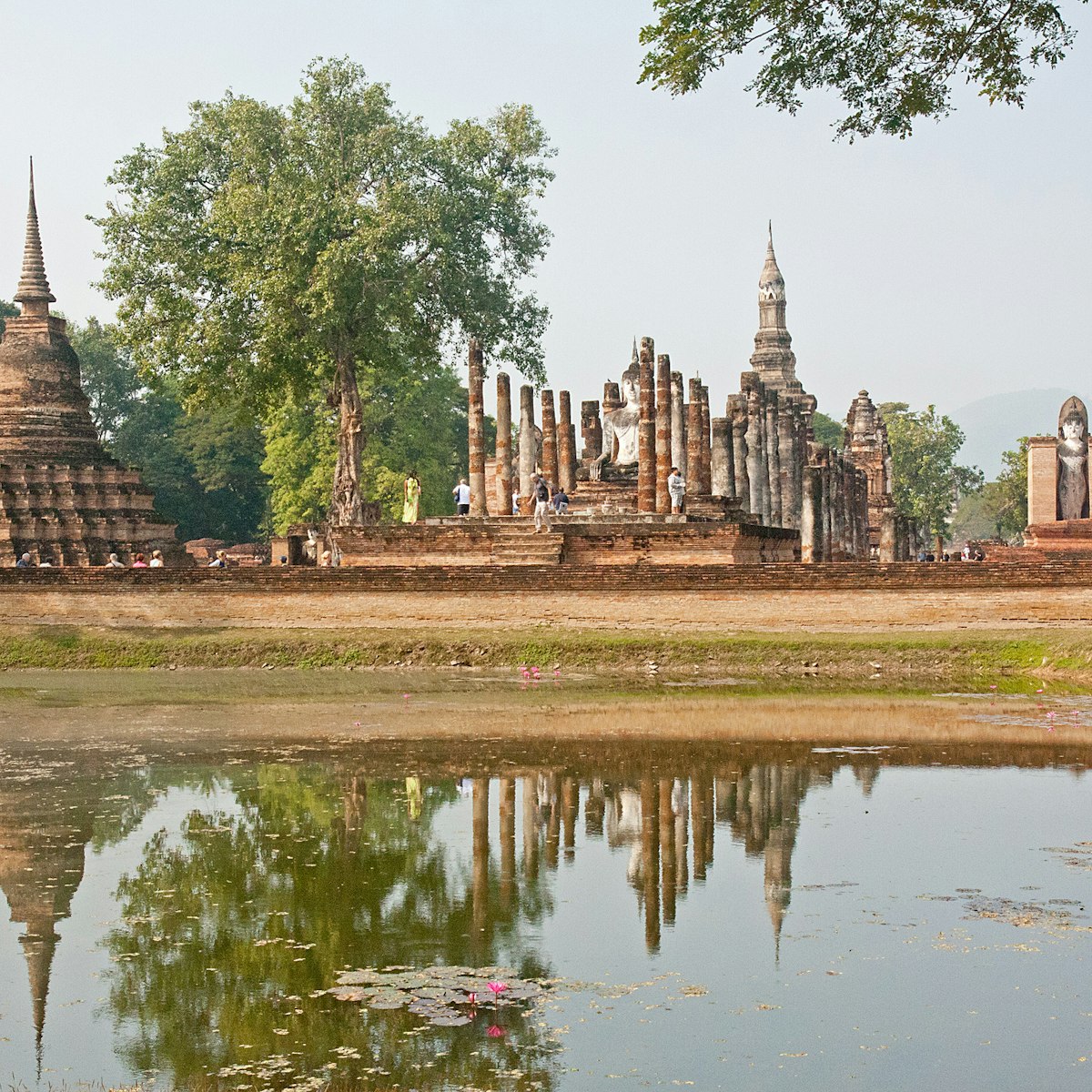
The Sukhothai Historical Park ruins are one of Thailand’s most impressive World Heritage sites. The park includes the remains of 21 historical sites and…
Attractions
Top picks from our travel experts

Hellfire Pass Interpretive Centre
Kanchanaburi Province
The infamous cutting known as Hellfire Pass was the largest along the length of the Thailand–Burma Railway, and the most deadly for the people forced to…
Sukhothai
Near the entrance to the central zone, this museum is a decent starting point for exploring the historical-park ruins. A replica of the famous…
Hua Hin & the Upper Gulf
Just north of the Pranburi River is an extensive natural mangrove forest. A 1km-long boardwalk with interpretive signs, some in English, lets you explore…
Northern Bangkok
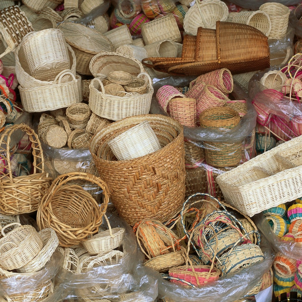
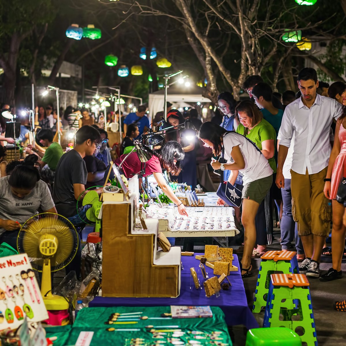
Among the largest open-air markets in the world, Chatuchak (also referred to as 'Jatujak' or simply 'JJ Market') seems to unite everything buyable, from…
Chiang Rai Province
Wat Rong Khun’s construction began in 1997 by noted Thai painter turned architect Chalermchai Kositpipat. It's a striking structure that, from a distance,…
Northern Bangkok
Or Tor Kor is Bangkok’s highest-quality fruit and agricultural market, and taking in the toddler-sized mangoes and dozens of pots full of curries amounts…
Ko Ratanakosin & Thonburi
Wat Pho is our absolute favorite among Bangkok's biggest sights. In fact, the compound incorporates a host of superlatives: the city's largest reclining…
Bangkok Region
Don’t have the time to see Thailand’s most famous historic monuments? Then consider visiting scaled-down versions of them in what claims to be the largest…
Chiang Mai
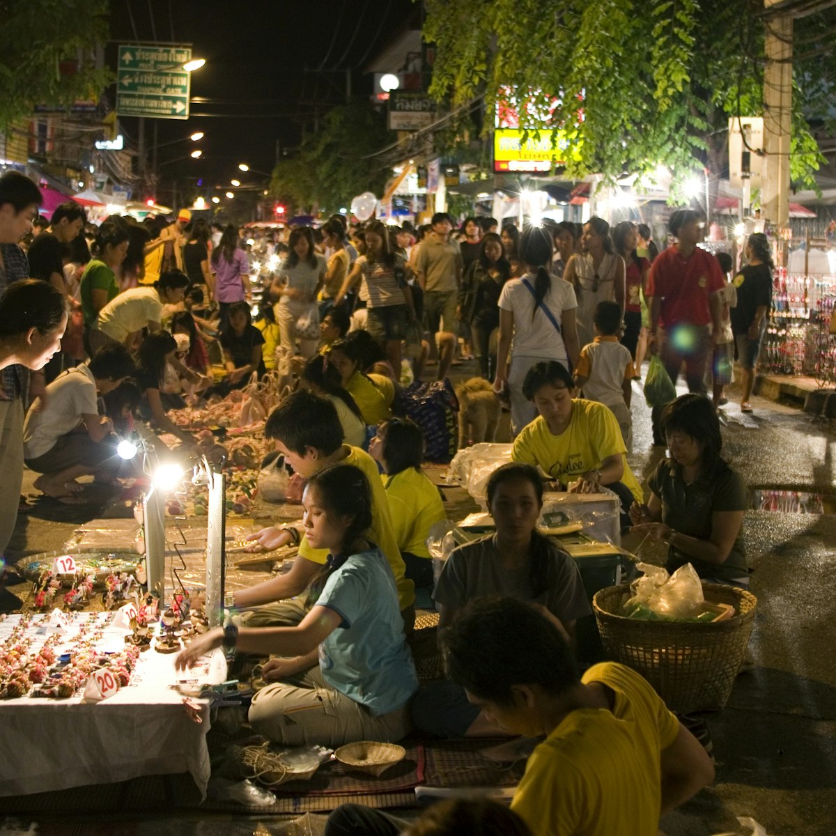
The Saturday Walking Street takes over Th Wualai, running southwest from Pratu Chiang Mai at the southern entrance to the old city. There is barely space…
Damnoen Saduak Floating Market
Bangkok Region
This 100-year-old floating market – once one of Thailand's prestige tourist attractions – is now essentially a floating souvenir stand filled with hordes…

Siam Square, Pratunam, Phloen Chit & Ratchathewi
This obelisk was built by the then military government in 1941 to commemorate a 1940 campaign against the French in Laos. Today the monument is primarily…
Siam Square, Pratunam, Phloen Chit & Ratchathewi
This jungly compound is the former home of the eponymous American silk entrepreneur and art collector. Born in Delaware in 1906, Thompson briefly served…
Northeastern Thailand
With its network of rickety staircases and walkways built in, on and around a giant sandstone outcrop, Wat Phu Thok is one of the region’s wonders. The…
Ko Ratanakosin & Thonburi
Wat Arun is the missile-shaped temple that rises from the Chao Phraya River's banks. Known as Temple of Dawn, it was named after the Indian god of dawn,…
Kanchanaburi Province
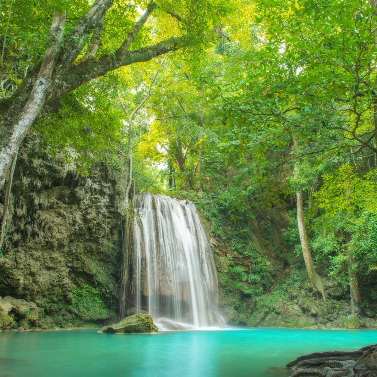
Splashing in emerald-green pools under Erawan Falls is the highlight of this very popular 550-sq-km park. Seven tiers of waterfall tumble through the…
Ubon Ratchathani Province
Nam Tok Soi Sawan is a 25m-tall waterfall flowing from June to December. It's a 19km drive from the visitors centre and then a 500m walk, or you can hike…
Ko Ratanakosin & Thonburi
The Grand Palace (Phra Borom Maharatchawang) is a former royal residence in Bangkok that was consecrated in 1782. Today, it’s only used on ceremonial…

Chinatown
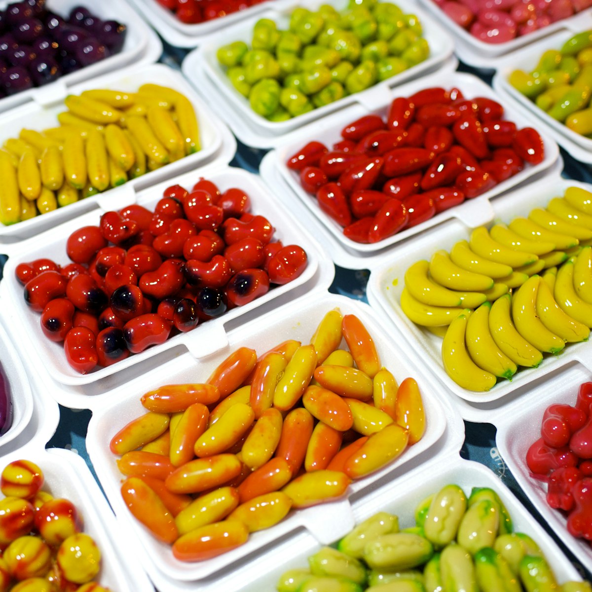
Sugar junkies, be sure to include this stop on your Bangkok eating itinerary. The ground floor of this shopping centre is a candyland of traditional Thai…
Ko Ratanakosin & Thonburi
This fun museum's collection employs a variety of media to explore the origins of the Thai people and their culture. Housed in a European-style 19th…
Ao Phang-Nga Marine National Park
Ao Phang-Nga's top tourist drawcard is known to Thais as Ko Phing Kan (‘Leaning on Itself Island’). Used as a location setting in the James Bond film The…
Hua Hin
Vastly better than the city-centre Hua Hin Night Market, this popular place 3.5km to the south is a fun mix of food, shopping and performing arts. It's…
Khao Yai National Park
The park's loveliest waterfall, 25m-high Nam Tok Haew Suwat scooped a starring role in Danny Boyle's film The Beach. It has water year-round (though very…
Chinatown
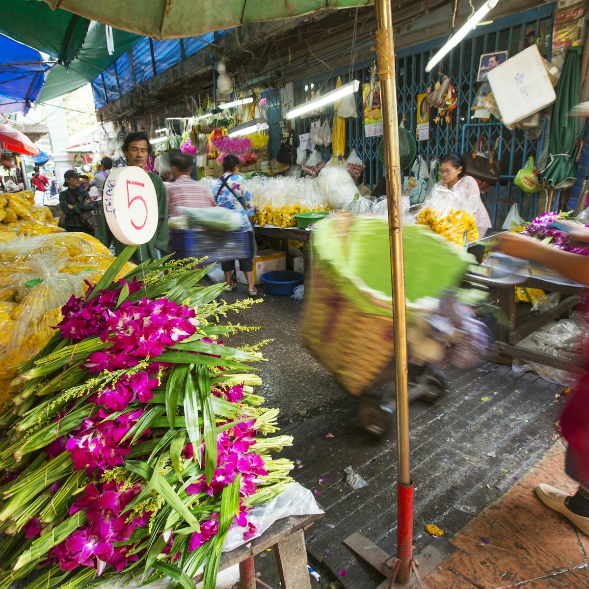
In 2016, as part of a cleaning drive, Bangkok's famous and formerly streetside flower market – also called Pak Khlong Talat – was moved indoors. Within…
Chiang Mai
On Sunday afternoon Th Ratchadamnoen is taken over by the boisterous Sunday Walking Street, which feels even more animated than Th Wualai's Saturday…
Bangkok Region
If you’re in Amphawa on a weekend, plan your meals around this fun market where grilled seafood and other dishes are served directly from boats.
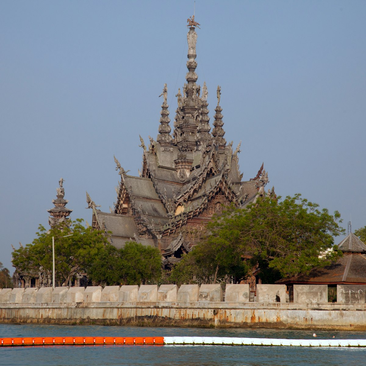
Pattaya
Made entirely of intricately carved wood (without any metal nails) and commanding a celestial view of the ocean, the Sanctuary of Truth is best described…
Planning Tools
Expert guidance to help you plan your trip
Best Things to Do
Get to know Thailand with this guide to the top things to do, from touring ancient ruins to swimming in the Andaman Sea.
Read articleThings to Know
From packing to local etiquette when you're there, these top tips can help visitors plan the perfect trip to Thailand.
Read articleTransportation
From commuter to long-haul, third-class seats to luxury cabins, wooden benches to sleepers, the following are some of the best train trips in Thailand.
Read articleVisa Requirements
Thailand is one of the easiest places to visit in Asia - here’s everything you need to know about visas.
Read articleMoney and Costs
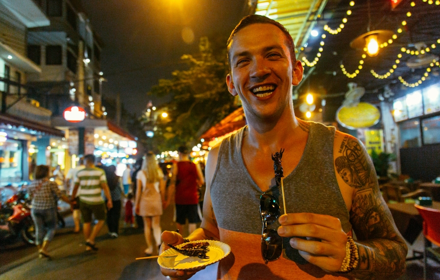
Temple-tastic Thailand is one of the top traveler stops in Asia, and a trip here doesn’t have to cost the earth if you follow our smart travel tips.
Read articleTraveling with Kids
Thailand's beaches are dreamy for travelers with kids, but there is so much more to explore. Here are the best things to do as a family.
Read articleBest Road Trips
Driving in Thailand is an adventure, but the rewards are massive. Visit backwater villages and outlying temple towns on these top road trips in Thailand.
Read articlePlan with a local
Articles
Latest stories from Thailand
Filter by interest:
 CannabisCannabis is legal in Thailand, but it's complicated: what travelers need to know
Apr 24, 2024 • 5 min read

in partnership with getyourguide
Book popular activities in Thailand
Guidebooks
Purchase our award-winning guidebooks
Get to the heart of Thailand with one of our in-depth, award-winning guidebooks, covering maps, itineraries, and expert guidance.