Sur Chico
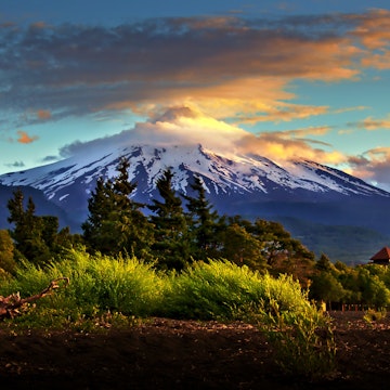
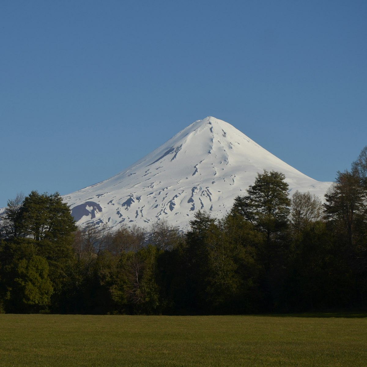
The 3125m Volcán Llaima, one of Chile's most active volcanoes, forms the focal point of Parque Nacional Conguillío and the Unesco Biosphere Reserve in…
Getty Images/Flickr Open
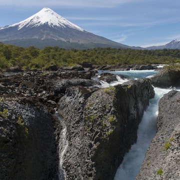
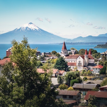
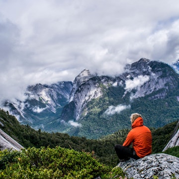
Hence begins the Chilean south. The regions of La Araucanía, Los Ríos and the Lakes District jar travelers with menacing ice-topped volcanoes, glacial lakes overflowing with what looks like melted jade, roaring rivers running through old-growth forests and coastal enclaves inhabited by the indomitable Mapuche people. Sur Chico is home to eight spectacular national parks, many harboring exquisitely conical volcanoes, and is a magnetic draw for outdoor-adventure enthusiasts and devil-may-care thrill seekers.
Experience the real Sur Chico. Let a local expert handle the planning for you.
Get startedSur Chico
The 3125m Volcán Llaima, one of Chile's most active volcanoes, forms the focal point of Parque Nacional Conguillío and the Unesco Biosphere Reserve in…
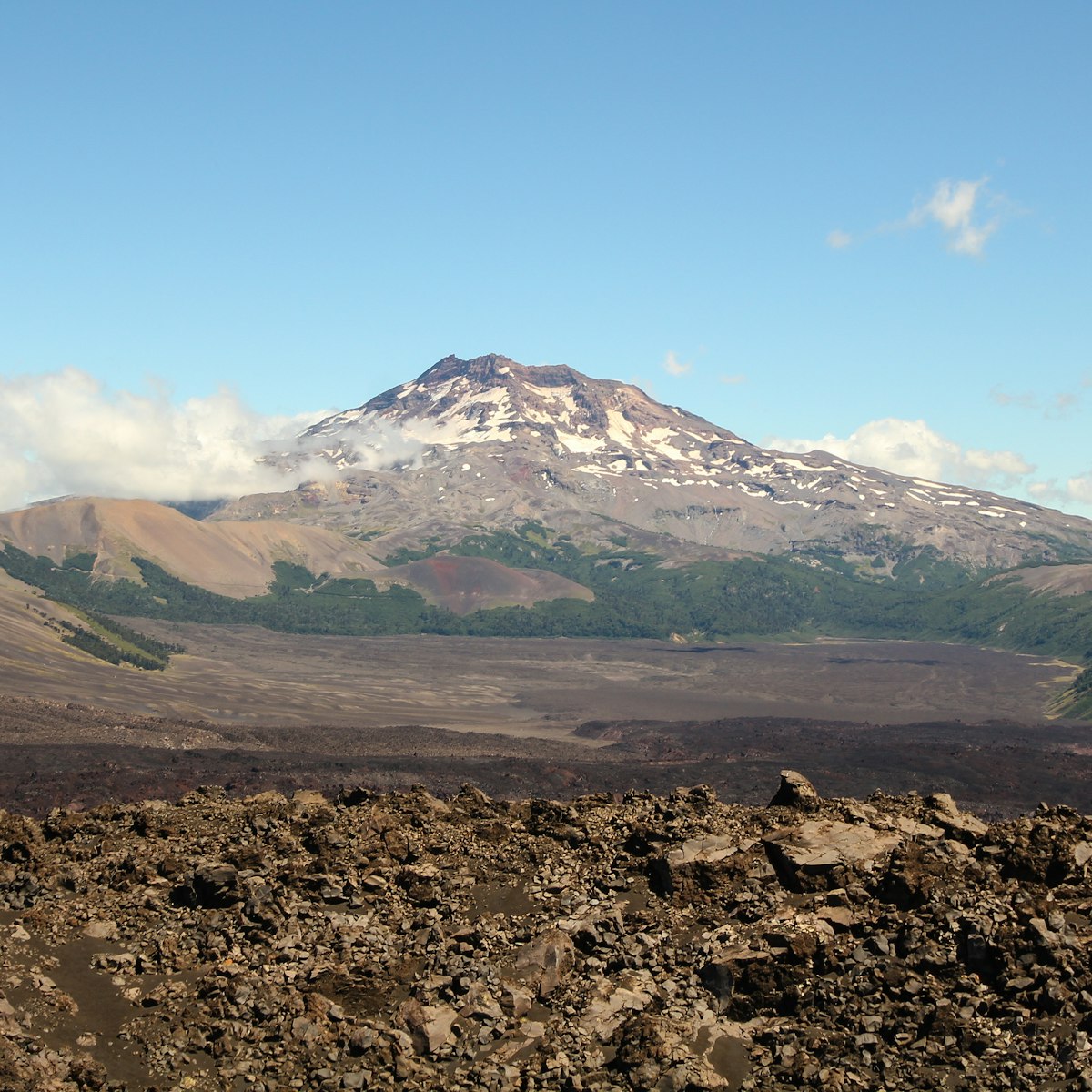
Reserva Nacional Malalcahuello-Nalcas
Sur Chico
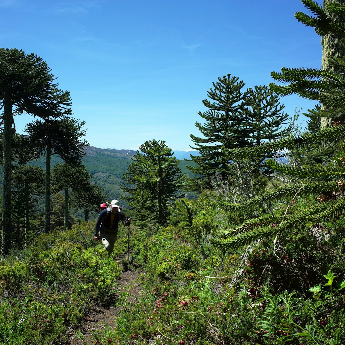
Serving up one of the most dramatic landscapes in all of Sur Chico and easily the jewel of northern Araucanía’s protected reserves, the 303 sq km Reserva…
Huilo-Huilo Biological Reserve
Sur Chico
This conservation project, begun in 2000, encompasses 1000 sq km of private land that has been developed for low-impact ecotourism and falls within a much…
Sur Chico
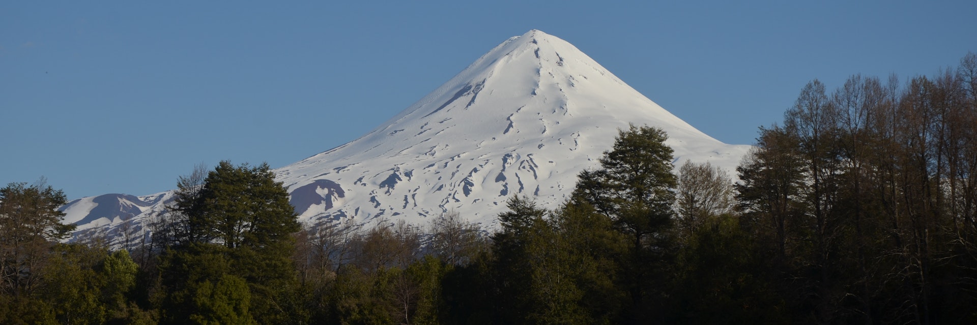
Towering over the adventure capital of Pucón, Volcán Villarica is the centerpiece of Parque Nacional Villarrica, one of the most popular parks in Chile…
Sur Chico
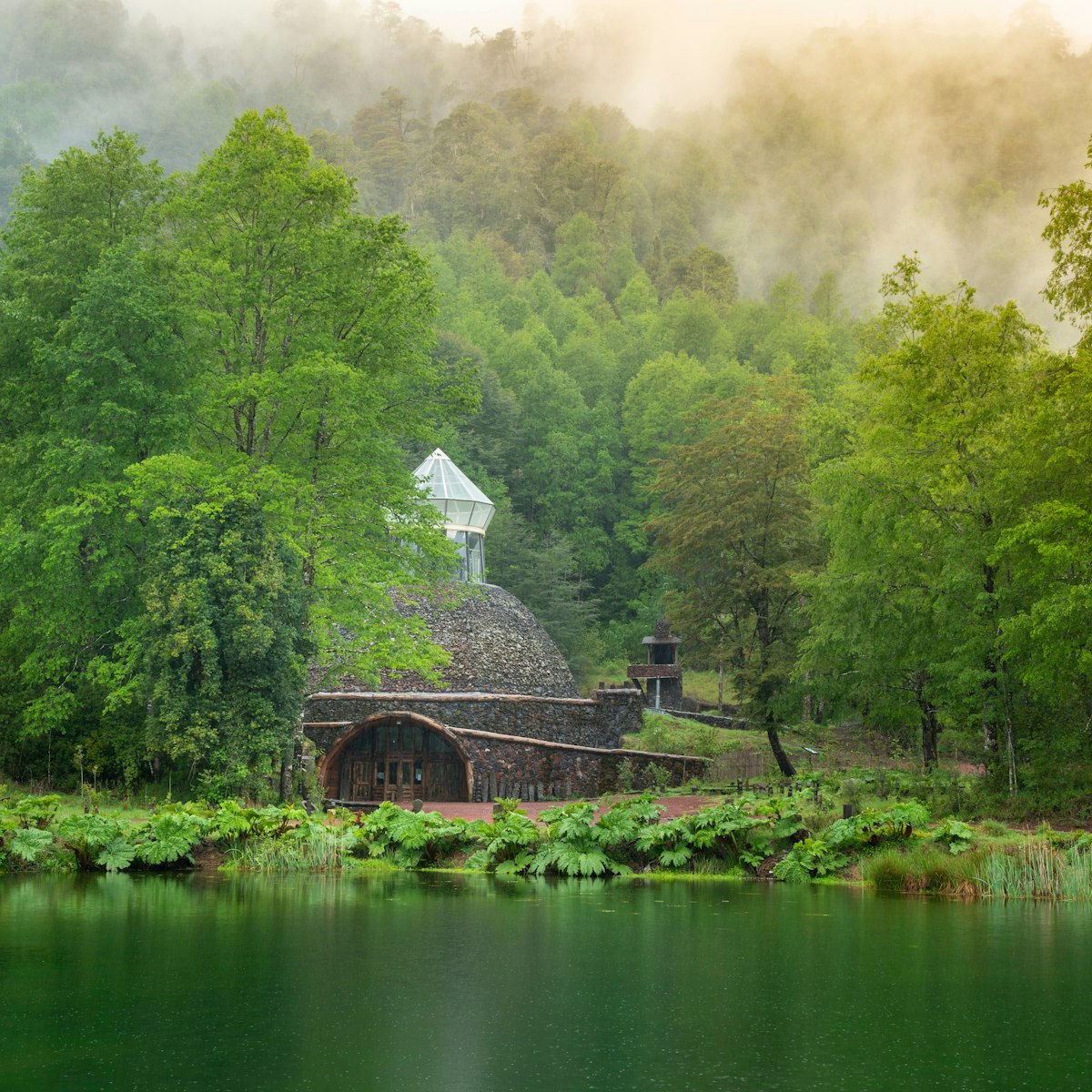
The stone-domed Museo de Volcanes is Sur Chico's most impressive archeological museum, covering Chilean indigenous cultures, including one of the best…

The Lakes District
This amazing 12-years-in-the-making, US$25-million world-class performing-arts center opened in 2010, and has single-handedly put Frutillar on the global…
The Lakes District
Territorio Mapa Lahual protects some 60,000 hectares of mature forest and indigenous territories south of San Juan de la Costa and into Río Negro province…
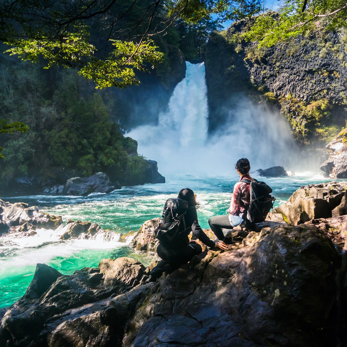
Sur Chico
The 125-sq-km preserve, founded in 1912, is a little wonderland of waterfalls, alpine lakes and araucaria forests and the creatures that traverse them,…

Get to the heart of Sur Chico with one of our in-depth, award-winning guidebooks, covering maps, itineraries, and expert guidance.