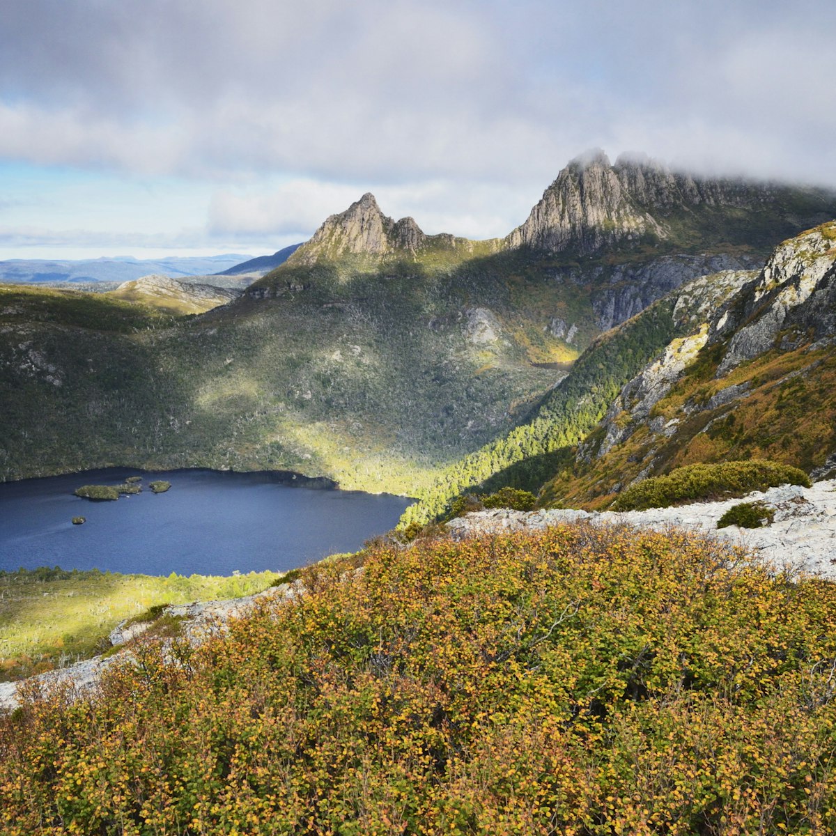
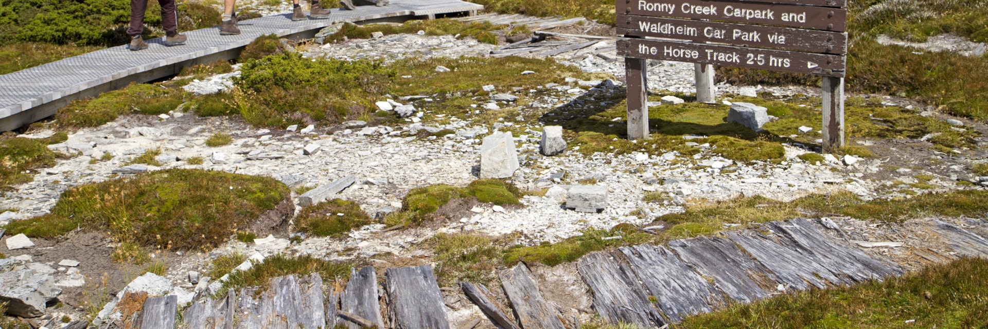
Cradle Mountain-Lake St Clair National Park
Cradle Country & The West
Part of the World Heritage–listed Tasmanian Wilderness, this 1614-sq-km national park incorporates the state's most famous mountain (the eponymous Cradle…
Getty Images/Lonely Planet Images
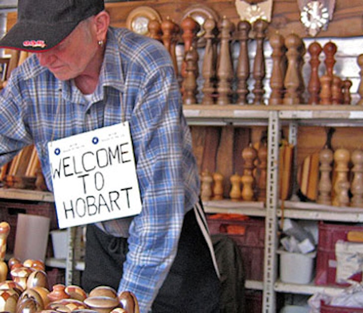
Welcome to the island's wild west, a land of endless ocean beaches, ancient mossy rainforests, tannin-tinted rivers, glacier-sculpted mountains and wildflower-strewn high plains – a place where you'll often feel like you're the only soul on earth. This is Tasmania’s vast outdoor playground, replete with national parks, conservation reserves and World Heritage–protected wilderness, where your options for adventure are varied and plentiful.
Cradle Mountain-Lake St Clair National Park
Cradle Country & The West
Part of the World Heritage–listed Tasmanian Wilderness, this 1614-sq-km national park incorporates the state's most famous mountain (the eponymous Cradle…
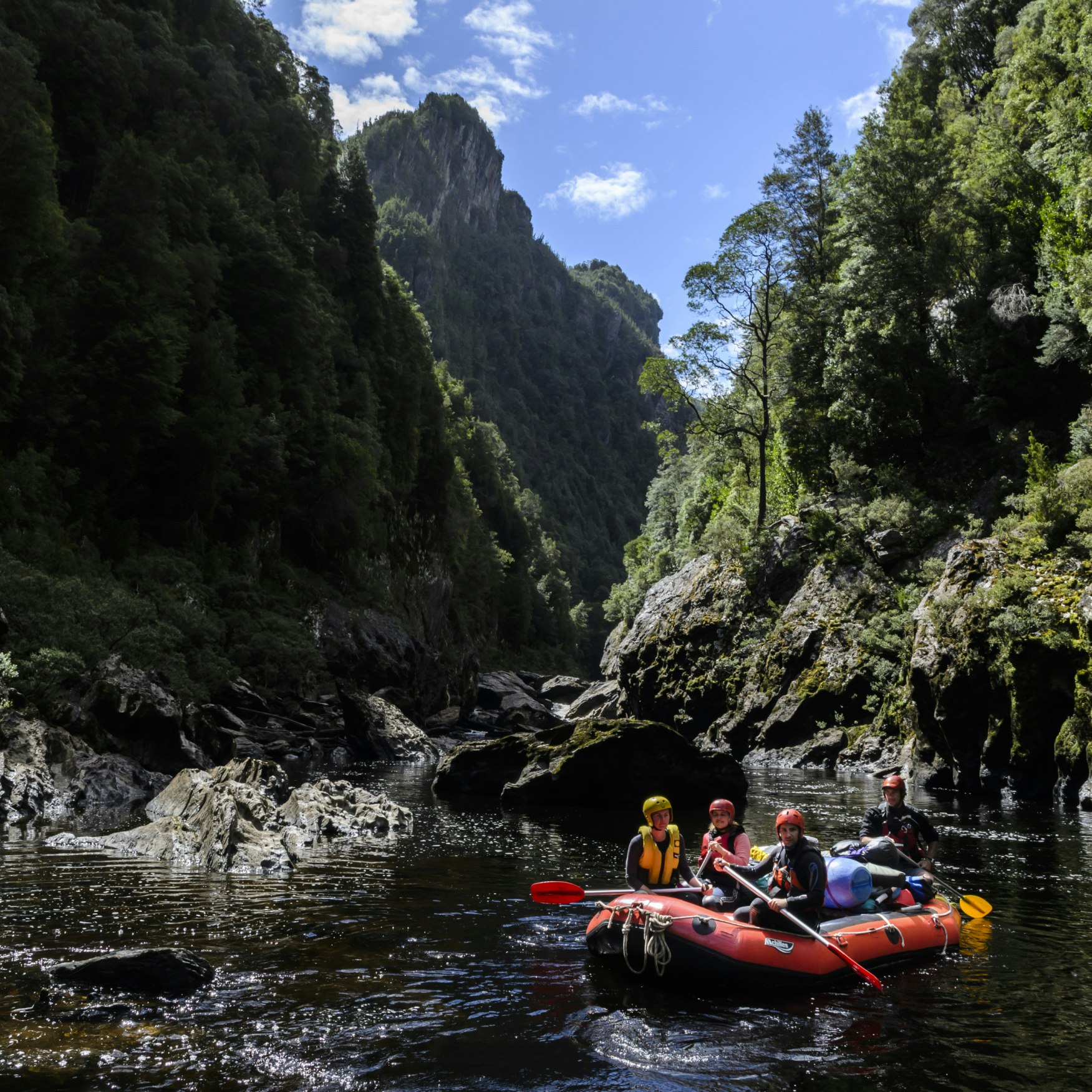
Franklin-Gordon Wild Rivers National Park
Cradle Country & The West
This World Heritage–listed national park came to prominence when the wild Franklin River was very publicly saved from hydroelectric immersion in the 1980s…

Cradle Country & The West
One of the planet’s last great isolated wilderness areas, this 6000-plus-sq-km national park, Tasmania’s largest, is home to some of the island's last…
Cradle Country & The West
A refuge for around 55 Tasmanian devils, this excellent wildlife sanctuary also plays host to eastern and spotted-tail quolls. Although it's open all day…
Cradle Country & The West
Head 6km west of Strahan's town centre to find Ocean Beach, Tasmania's longest beach (40km), which is fiercely pounded by surf. It runs uninterrupted from…
Cradle Country & The West
Housed in the 1894 School of Mines & Metallurgy, this museum is the pride of the local community and the town's major tourism drawcard. There's plenty to…
Cradle Country & The West
On top of Gormanston Hill on the Lyell Hwy, just before the final descent along hairpin bends west into Queenstown, is a sealed side road leading 900m to…
Cradle Country & The West
When the Gaiety opened in February 1898, a troupe of 60 performers was brought to town from Melbourne and played to 1000 spectators every night for a week…
Filter by interest:
Get to the heart of Cradle Country & The West with one of our in-depth, award-winning guidebooks, covering maps, itineraries, and expert guidance.