Queensland’s far north is home to coral-fringed coastlines, hardy outback living and expanses of raw nature; once feared by explorers, this monumental land is now welcoming and accessible.
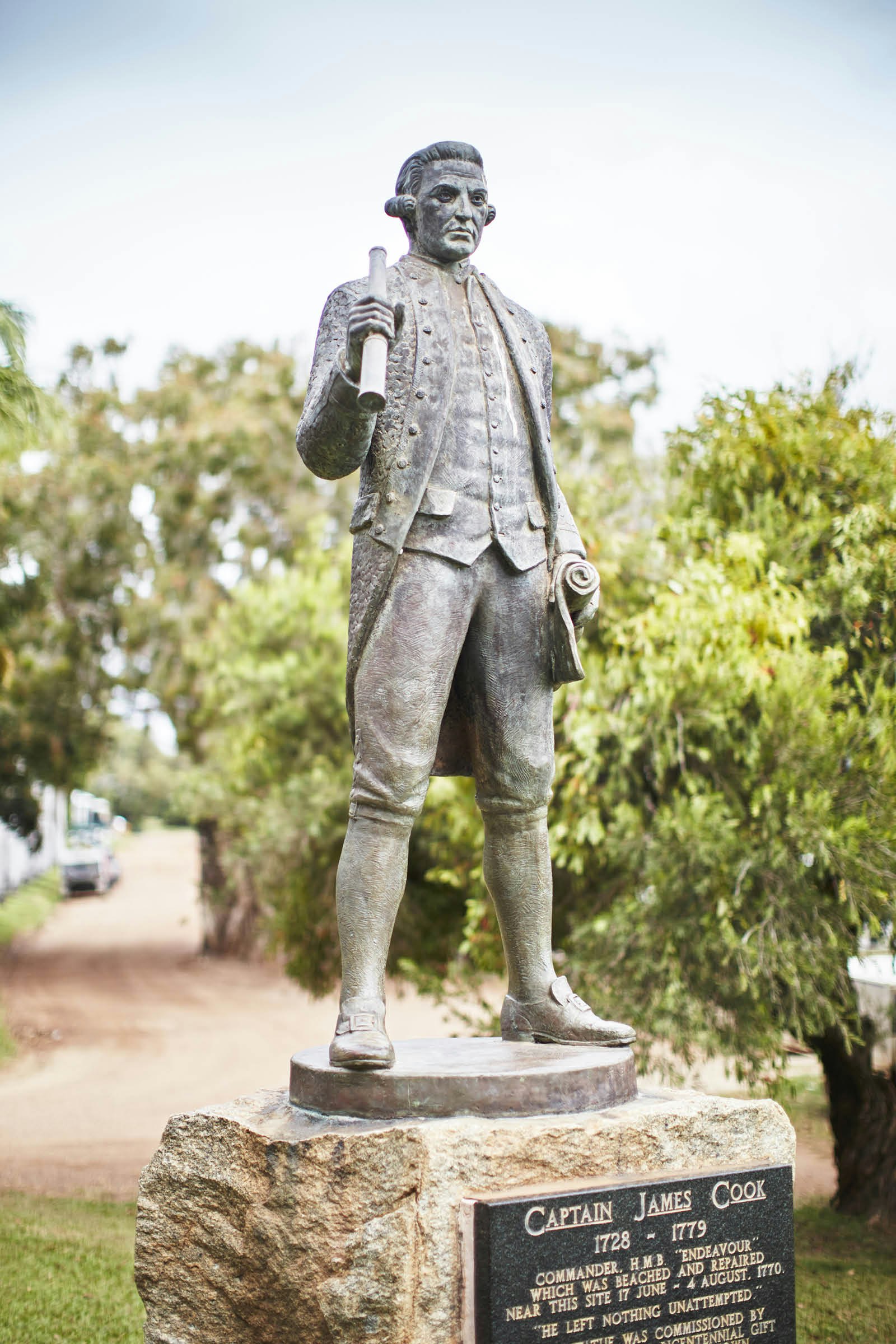
On 17 June 1770, Captain James Cook and his bedraggled crew appeared at the mouth of the Waalumbaal River, desperate for sanctuary. After finding the fabled southern continent of Australia and mapping much of its eastern coast, Cook collided with a razor-sharp reef, part of a bewildering maze of coral shoals he would name the Great Barrier Reef. His ship, the HMS Endeavour, was now listing, its hull shredded on one side and filling with water, kept afloat only by staunching the leak with wool and dung.
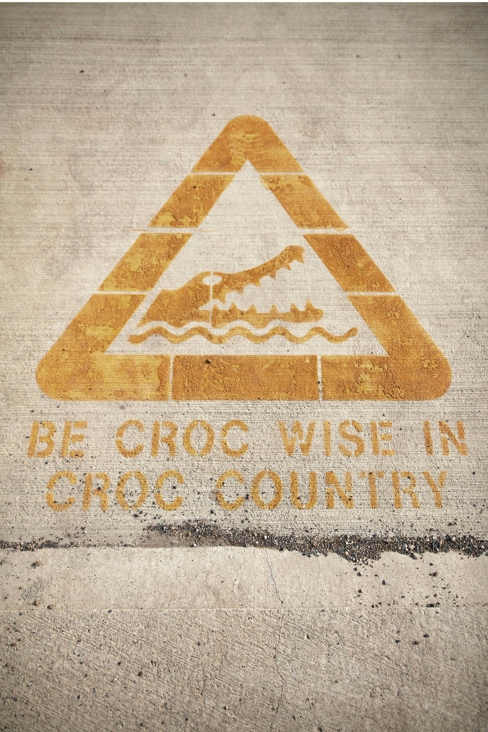
Ahead was a wild horizon of swamps and mangroves, salt marshes and eucalypt forests. The river itself was patrolled by deadly saltwater crocodiles. But for Cook, this was a place of blessed refuge after days of terrifying adversity on the sea.
Almost 250 years later, Alberta Hornsby stands on the crest of a high knoll known as Grassy Top and traces the distant curve of the river with an outstretched finger. ‘They brought their ship along here,’ she says, her hair whipping in the breeze, ‘and stopped by the harbour to do repairs.’
Alberta is a historian whose ancestors lived in the Bulgunwarra tribelands west of here, sheltered by the steep-sided rocky plateaus of the Dickson and Henderson Ranges. ‘This is Guugu Yimithirr country,’ she says. ‘It was a special meeting place for 32 clans, where people would come to give birth, to arrange marriages, to settle disputes. It was a neutral zone, where no blood could be spilled intentionally.’
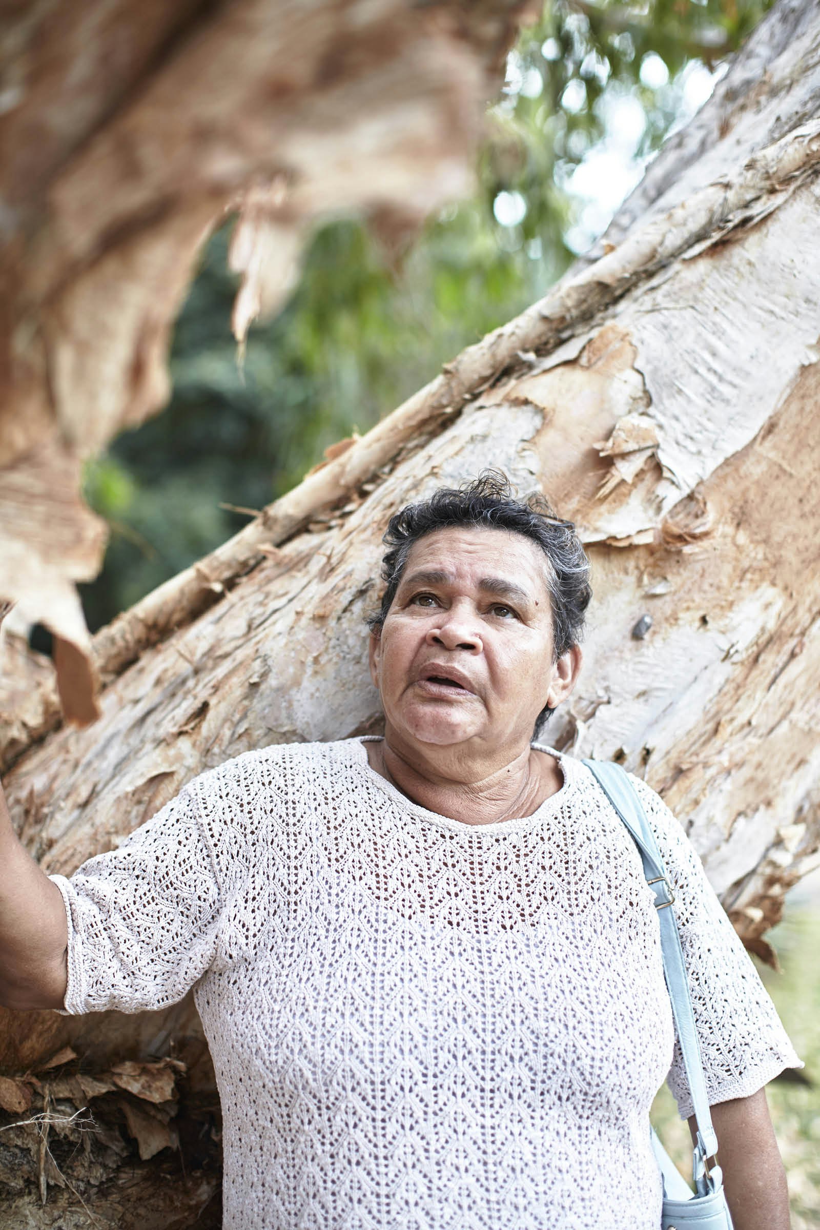
It was here, she explains, that ‘first meaningful contact’ between the Europeans and Australia’s Indigenous people occurred. ‘The Aboriginal men asked them to take off their clothing so they could examine the white men all over. They were fascinated by the animals on board, the pigs and chickens, which they’d never seen before.’ Cook’s crew were curious in turn, about local plants and all the strange burrowing, hopping animals – ‘kangaroo’ is a Guugu Yimithirr word. Yet, when Cook’s ship finally set sail again 48 days after its arrival, the locals set fire to the hills all around in a cleansing ceremony meant to drive the bad spirits away.
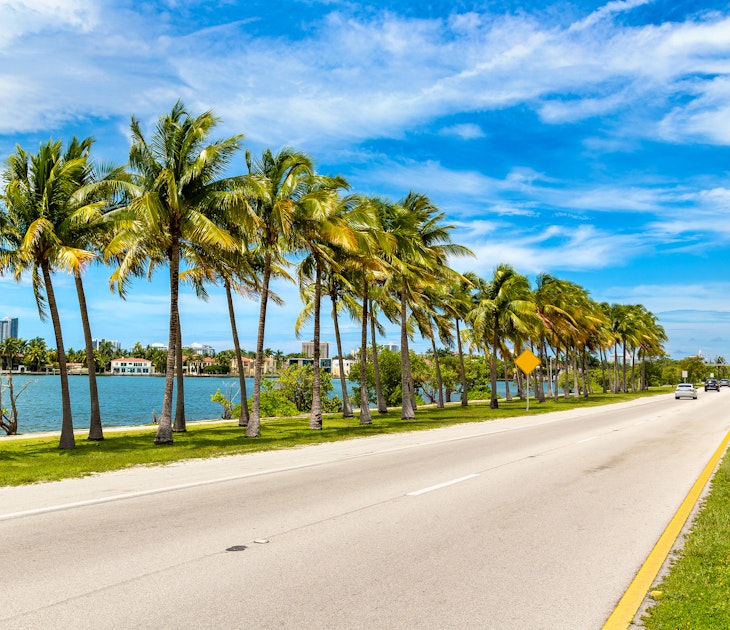
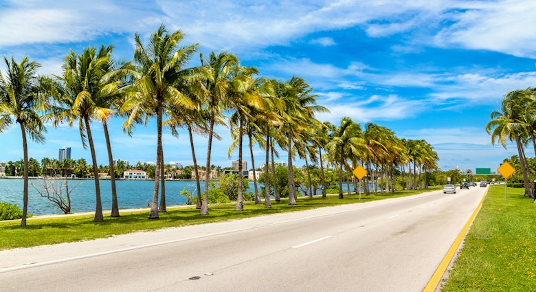
Today, the river is known as the Endeavour, and the settlement on its banks is Cooktown – a town of 2,400 people with a pretty quay, a quiet main street and no fewer than six monuments to the town’s English namesake. It’s the northernmost town on the eastern coast of Australia, a lonely outpost of civilisation in the midst of a region known as Far North Queensland. From here, wilderness stretches north with scant interruption to the steepled point of the Australian continent. To the south is an expanse of rainforest that runs over 200 miles to Cairns, the diving hub where most visitors’ northbound journeys end.
Since Cook’s first foray into the Waalumbaal, Queensland’s far north continued to be a meeting point of cultures, from Indigenous tribes to Chinese gold prospectors, European missionaries and farmers. The region has long held the reputation as an Australian equivalent of the Wild West, a remote escape from the rest of the world, where the dangers of nature are ever present and independence is prized. ‘Traditionally, you’d come up to these parts if you were on the run from the law,’ one man tells me as we queue for beef pies at Cooktown’s harbourside bakery. ‘Or,’ he adds, ‘running from a woman.’
Pink-topped grasses line the road south, which soon turns from smooth tarmac into packed dirt. It scores through scrubby fields of red soil, framed on each horizon by black granite boulders as large as caravans. They rise in towering heaps known as the Black Mountains before growing sparse and disappearing under a fringe of green.
This scrappy stretch of pastoral land is populated by little more than grazing cattle and skittish bands of wallabies, but in the 1870s, the discovery of gold, copper and tin drew hopeful prospectors here from across the world. By the end of the 19th century, the region’s population had swollen to 30,000, making Cooktown the second most populous town in Queensland at the time.
Just south of a zigzag bend in the Annan River, where fortunes were once scooped up from creek beds, is the Lion’s Den Hotel. From its establishment in 1875 until well into the 20th century, this was the tin miners’ watering hole of choice, and today it still stands by the side of the road, shaded by century-old mango trees.
It’s little more than a shack, with beams of raw timber holding up a rust-splodged roof of corrugated iron. Inside is a riot of dangling bric-à-brac, from dusty turtle shells and cattle horns to donated brassieres. Every surface is scrawled with visitors’ messages – a tradition begun in the days when the local ‘tin scratchers’ would tot up their bar tabs on the walls. According to local legend, anything goes in this place, from week-long drinking sessions to epic bar brawls, where patrons might be joined indoors by wandering cattle. A photograph on the wall shows a beery pub-goer in a vest wrangling a monstrous snake as long as the bar.
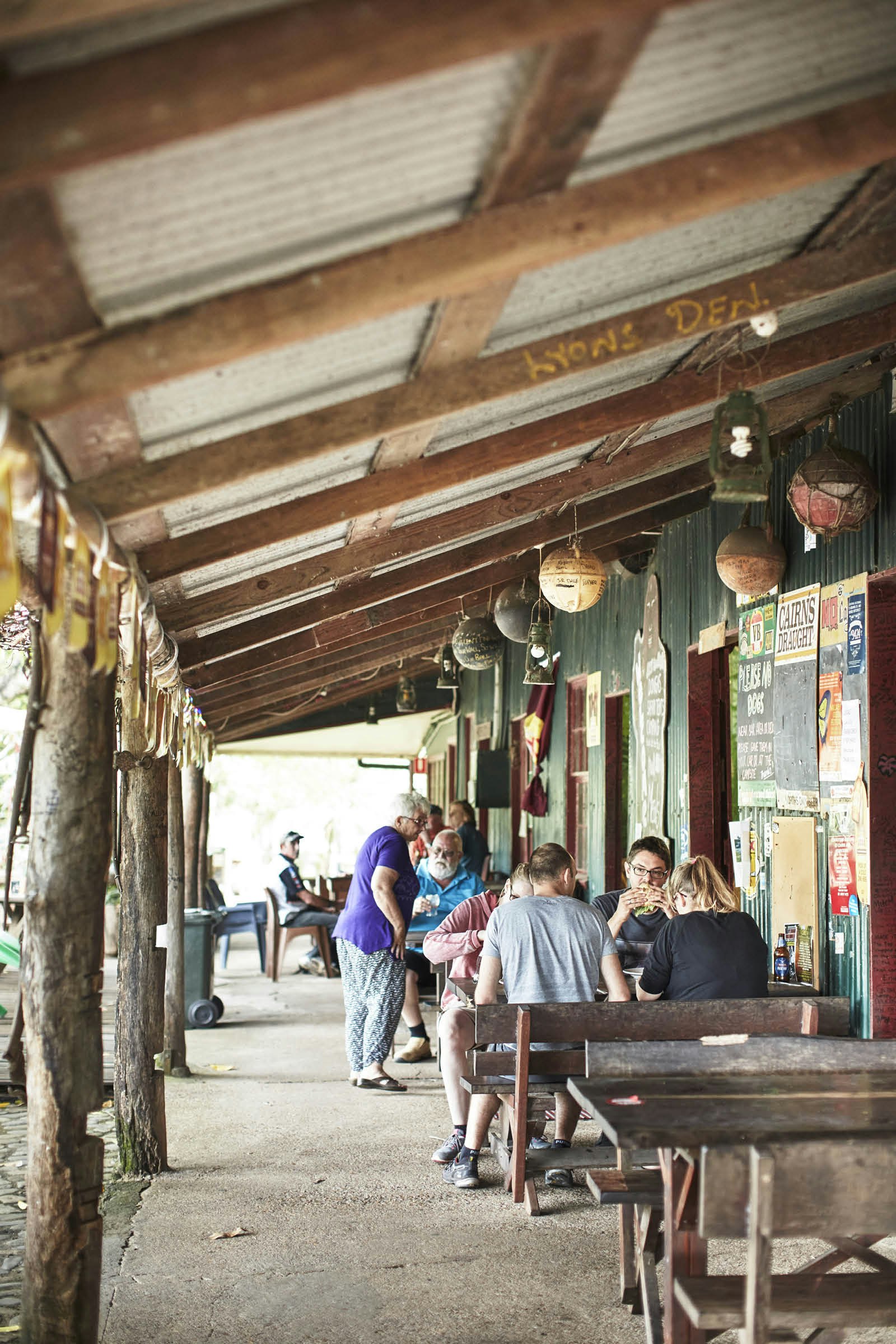
Along that same bar today, locals shoot the breeze in the laid-back, nasal drawl of the region that sounds not unlike the atonal caws of the crows in surrounding trees. Among them is 71-year-old Jack Ryle, with a rusty bark of a laugh and a ‘stubby’ of beer in one hand. Jack has been a regular at ‘the Den’ since moving to the area 38 years ago and knows all the stories from the old days.
‘Tin scratchers worked hard, played hard,’ Jack says. ‘They would drink neat spirits and home-brewed rocket fuel, so this was a rough and ready place. Not too many would have brought their kids here back then – a bit different to now.’ He nods to the Den’s yard, where raucous children are chasing one another.
There may be less risk of a brawl these days, but Jack still relishes the lifestyle here and the hardy characters of a region he dubs ‘the world’s largest unfenced asylum’. ‘It’s so bloody laid-back,’ he says, taking a swig of his beer. ‘No one worries much. It’s a laugh from go to whoa. It’s so far off the beaten track, you never see a politician.’
South of the pub, the trees that have been massing ranks on the roadside reach overhead, creating a verdant tunnel. The dirt road known as the Bloomfield Track winds its rough rutted way up hillsides and down steep gullies through a never-ending thicket of palm fronds, vines and eucalypts straining to reach beyond the canopy’s shade. The air is pierced by the buzzsaw chorus of countless insects, birdsong and low-throated amphibian croaks.
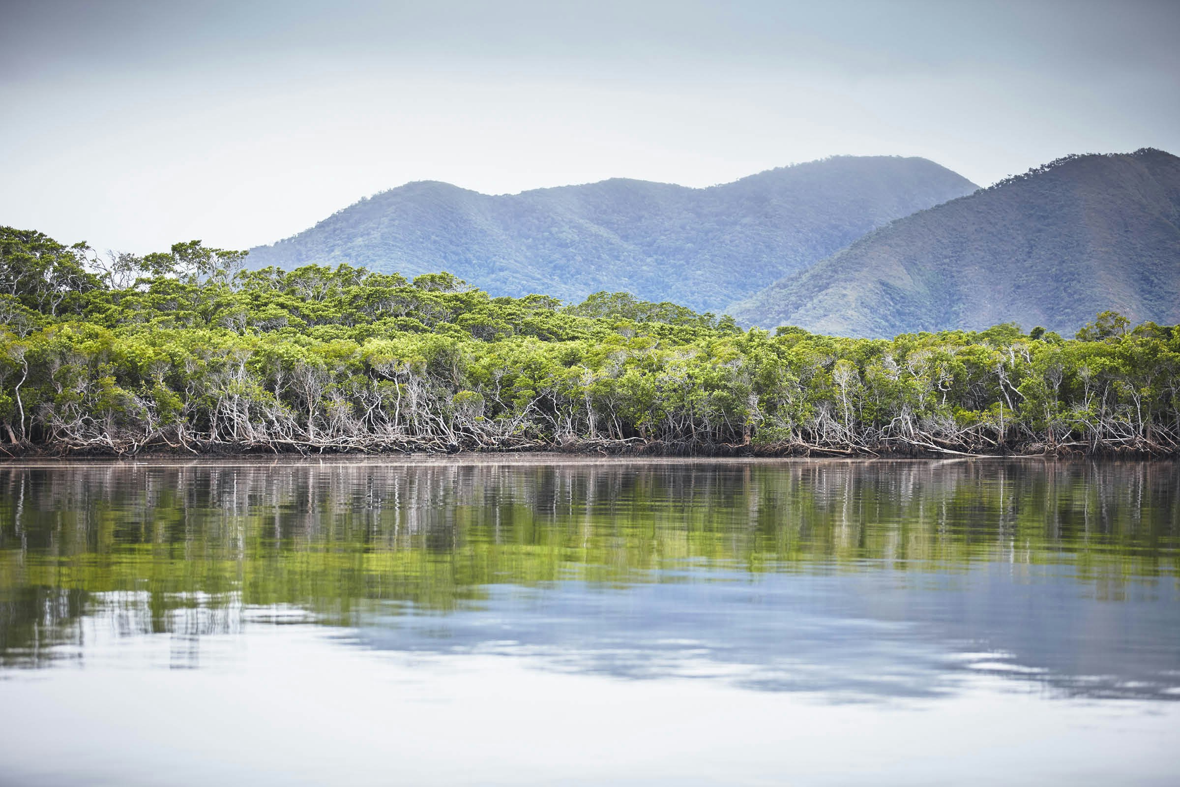
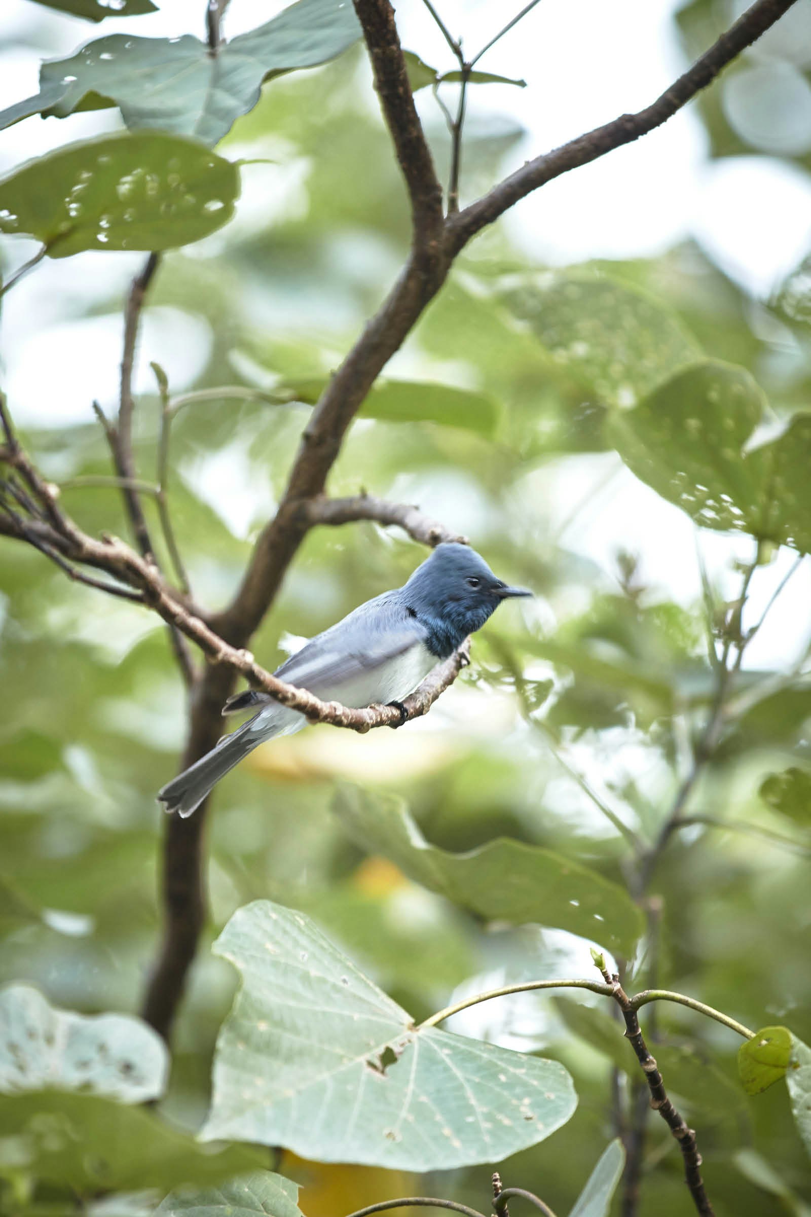
This is the Daintree – the world’s oldest rainforest. Endemic plants, such as the pink-budding ribbonwoods peeking through the chaos of foliage, have lineages dating back 180 million years, from before the Australian continent broke free of Gondwanaland. Creatures that pass in peripheral snatches of colour resemble something prehistoric themselves – the cassowary, with its predator’s gait and bony, shark-fin crest, or the raptor-eyed brush turkey, with its bald red head and yellow wattle that swings as he dashes by. The surrounding forest is near-impenetrable for humans, with mere feet of visibility in even the clearest of patches.
‘To get a proper sense of the scale of it, you need to see the Daintree from above.’ Pilot Michael Reed raises his helicopter so the forest shrinks into a sprawling carpet of green, pocked with small naked patches of charcoal black – the legacy of past lightning strikes. The Daintree River forks and curves across the expanse, its banks dotted with fat brown crocodiles basking in the sun.
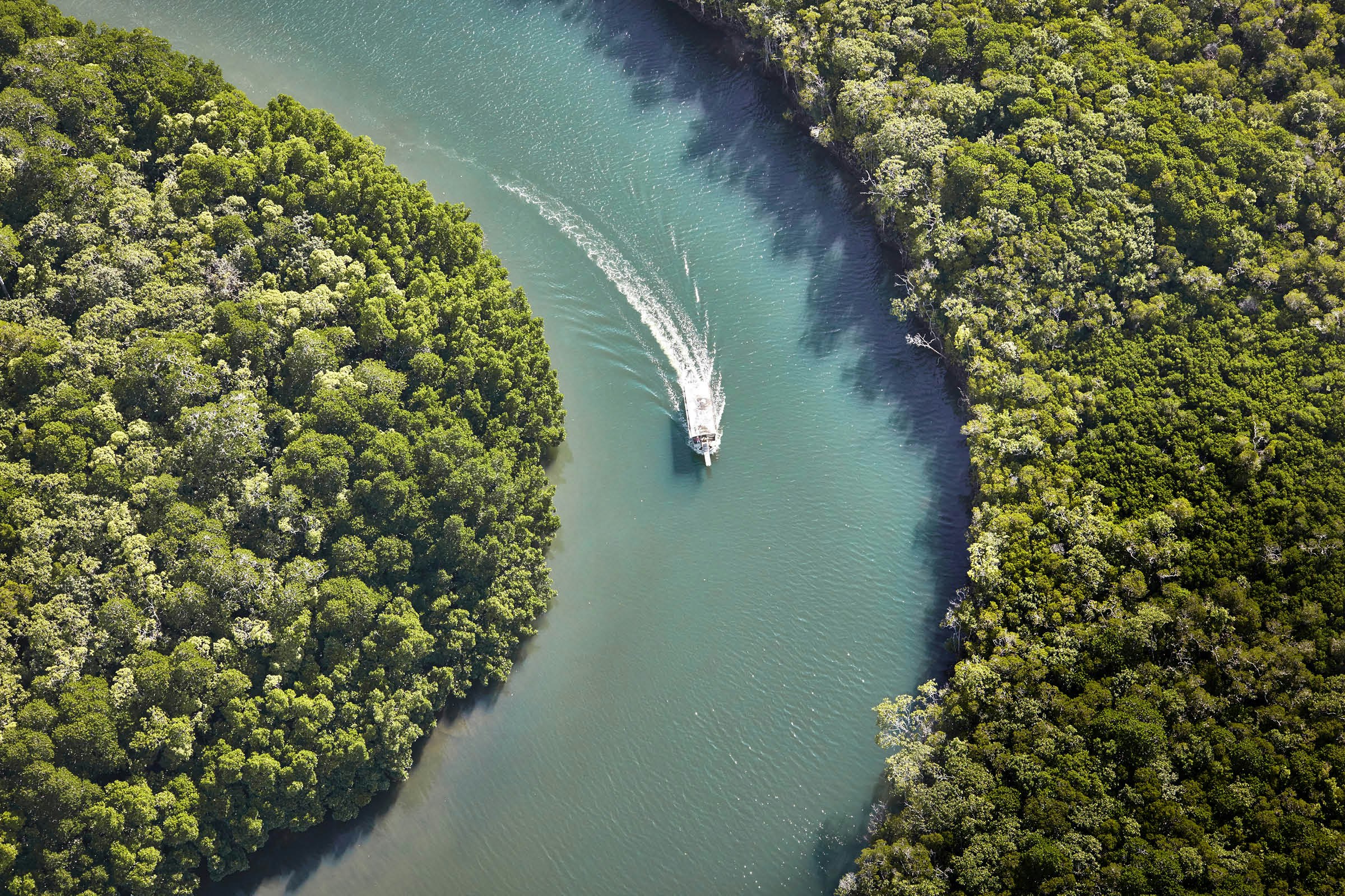
‘The forest is obviously made up of individual trees and plants, but it also works together as a whole ecosystem,’ Michael says. ‘During cyclone season, the root systems intertwine one with another like they’re holding hands, so they can stand fast against the winds.’
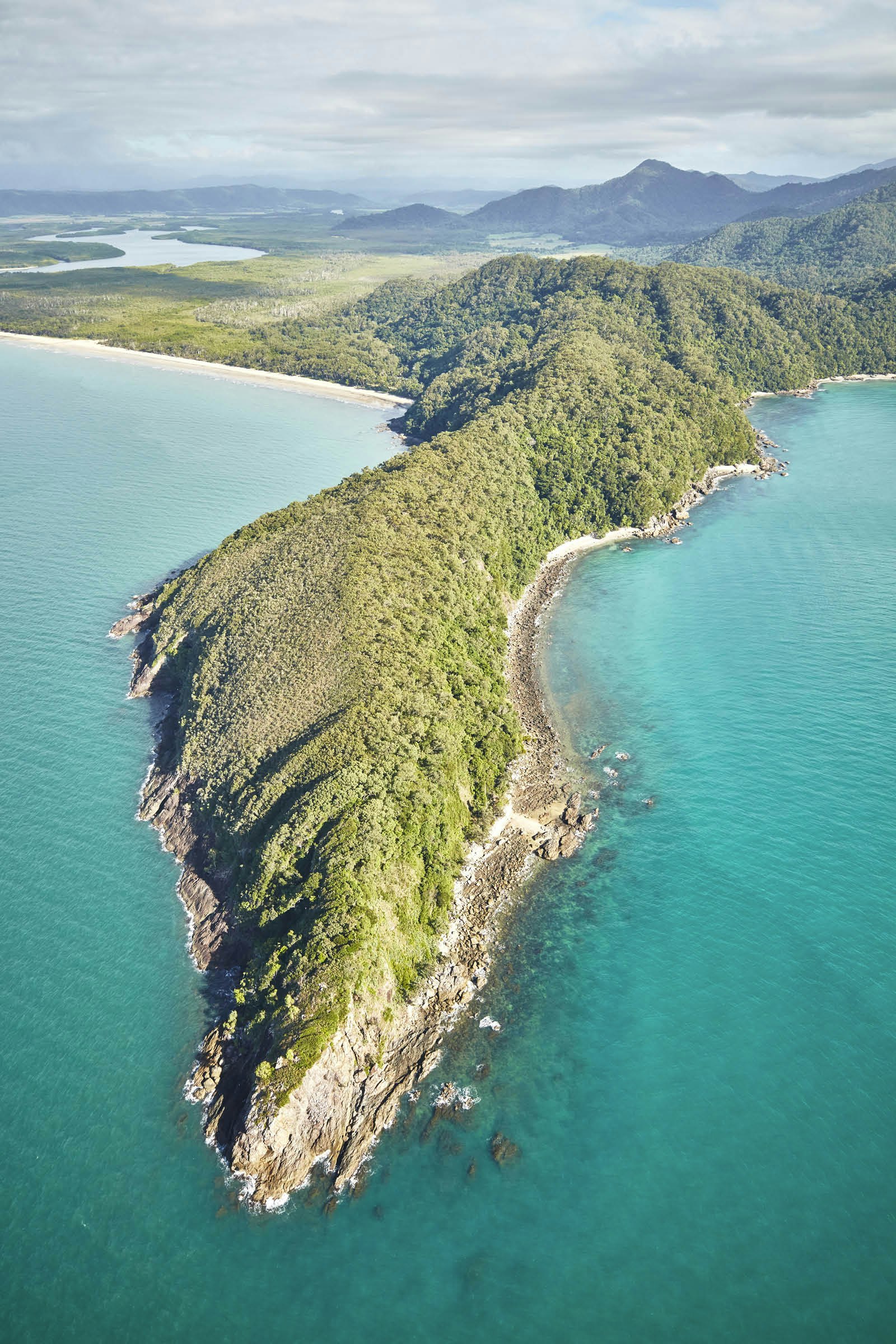
At the forest edge is a golden ribbon of sand, then a plunge into clear blue – the edge of the Pacific. There, the coral islands of the Great Barrier Reef appear just below the water, stretching out far into the distance like the bones of a forgotten continent. The coast curves down to a jutting lip of foliage-fringed beach known as Cape Tribulation – named by Captain Cook as a sign of disfavour as it marked the place where the Endeavour first collided with the reef. ‘Here,’ Cook wrote in his captain’s log, ‘began all our troubles.’
Michael brings the helicopter in to land and the rising landscape shows the great forest thinning. Open paddocks of grass appear, along with fields of tall sugarcane ripe for harvest, their feathery white tops grasping at the breeze.
To the west, between the edge of a vast plateau known as the Einasleigh Uplands and the forested ridges of the Great Dividing Range, the land sprawls out into tropical wetlands, open woods and savannah run through with shady creeks. At its centre is Wetherby Station, a weatherboard farmstead with a broad, wraparound veranda.
Current owner John Colless is in the adjacent field, hand-feeding his herd of prize calves, which jostle and nudge him, their pelts shining dark amber in the late afternoon sun. These cows, he explains, are ‘Brangus’ – a cross between a Brahman and the Aberdeen Angus, bred to withstand the weather of the far north.
‘When they brought the English cattle breeds, like the Hereford or shorthorn up here to begin with, they couldn’t cope with the hot weather or the rain, and the stocks were decimated,’ John says from under the brim of his Akubra bush hat. ‘But these ones are tolerant of the heat and resistant to tics, so they thrive here.’
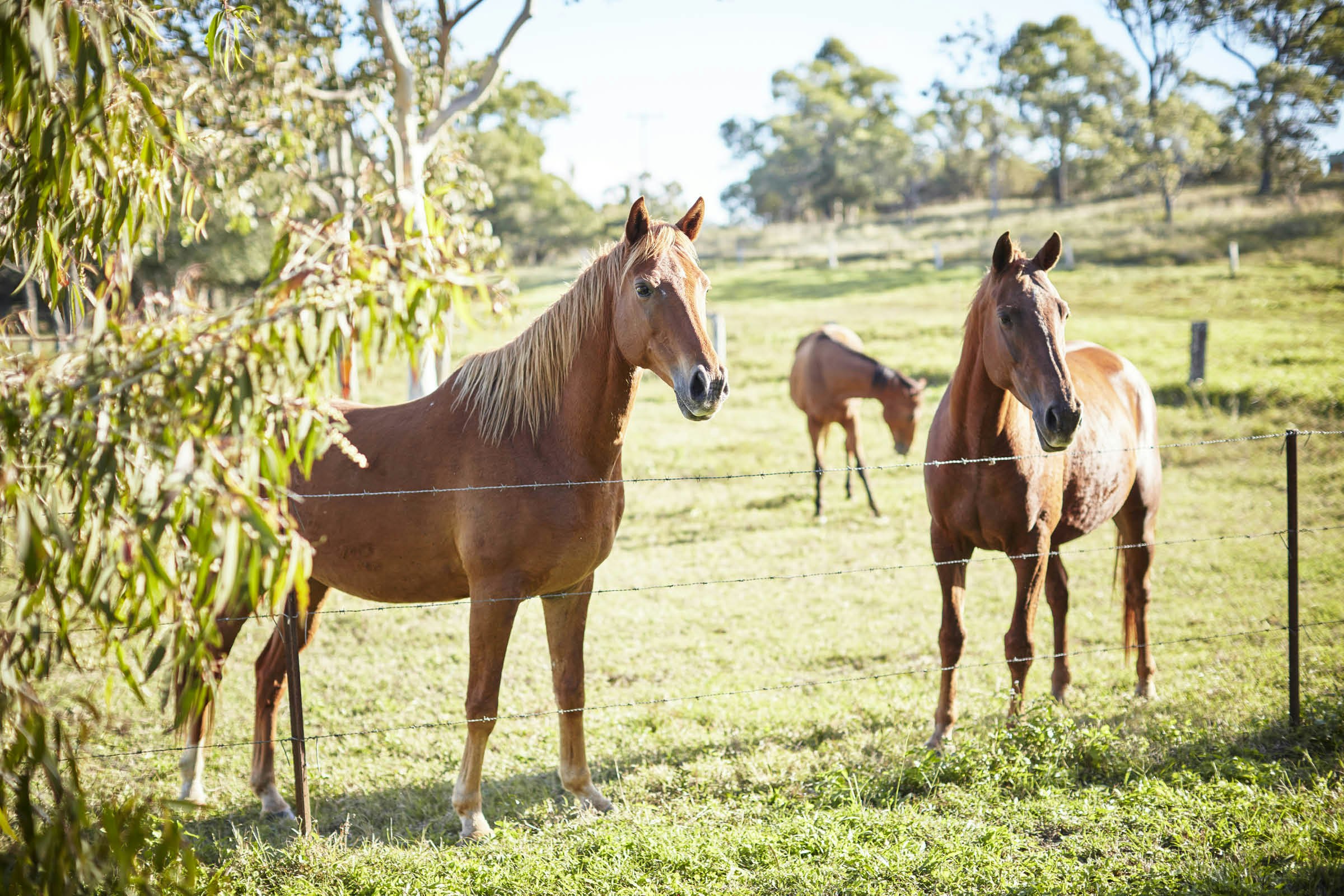
The farm stretches over 4,000 acres and is home to countless native animals, from kangaroos nibbling at the grasses to whitespotted quolls and bandicoots scampering through the undergrowth. John points out a creek where reclusive platypuses emerge at dusk and gestures to the source of mocking laughter ringing in the air – a tiny, bright-eyed kookaburra.
Wetherby Station was established in 1878 as a sugarcane farm, and large tracts of virgin forest were cleared to make way for crops. Since taking over the farm ten years ago, John and his wife, Kathy, have been attempting to return the property to a more natural state, planting swathes of native trees from eucalypts to fuzzy-flowered pink bottlebrush plants and lofty Leichardt pines.
The station was once a resting place for miners and prospectors heading to the gold fields. To reach here, they drove buggies along the only route available from the coast, known as the Bump Track – a perpendicular dirt trail known for its teeth-rattling jolts – but the track was based on an old Indigenous walking path used by the Kuku Yalanji tribe to traverse their territory from the mountains to the sea.
Near the end of that ancient trail, at Cooya Beach, Juan Walker treads his way carefully through the mangroves, lifting his knees up high so as not to trip over their hoop-like roots, his bare feet squelching. He looks down at his legs in grey mud. ‘Just think of it like a cheap pedicure,’ he says.
Juan spent his childhood exploring this beach with his grandparents, learning about their Kuku Yalanji culture. ‘They knew the old ways,’ Juan says. ‘They taught us how to hunt, how to make a boomerang and a spear. We’re lucky that knowledge survived.’
From the late 19th century, Indigenous people across Queensland were driven from their lands, forced into Christian missions and forbidden to practise their culture. ‘Until 1967, Aboriginal people were classed as fauna, not even people,’ says Juan.
Cooya Beach stretches ahead – a curve of golden sand backed by a tangled bulwark of hibiscus trees and mangroves. The tide is far out in the distance, revealing broad flats pocked with divots left by stingrays sucking up sea worms from the ocean floor. ‘We don’t own this place,’ says Juan. ‘We belong to it.’ He pats the sand. ‘That’s country. We’re responsible for it and we have to look after it so our spirit has somewhere to rest.’
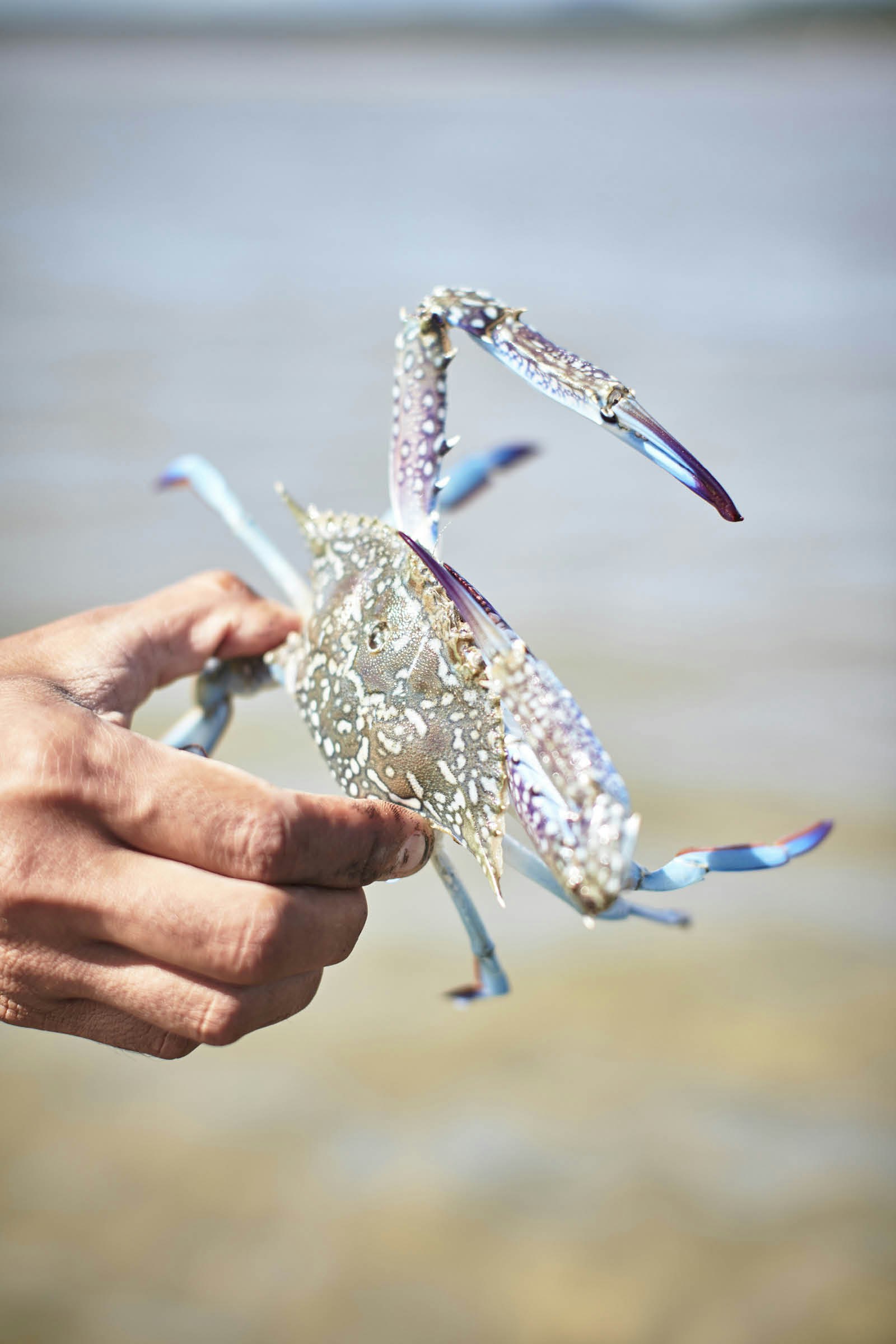
At first glance, the stretch ahead seems lifeless, but Juan points out creatures hidden in plain sight: the tiny angelfish, almost indistinguishable from a floating orange leaf; a half-buried blue swimmer crab, visible only by its tiny blue claws. ‘There’s life everywhere,’ Juan says. ‘You just need to know where to look.’
He heads towards the horizon to catch some crabs or a stingray for dinner and soon he’s a distant figure silhouetted against the silver water, a long bamboo spear resting on one shoulder. It’s a scene that seems entirely natural in this place and one that has been repeated countless times over generations of local hunters, long before an English sea captain caught sight of these shores.

Travel in northern Queensland
This itinerary follows a route between Cooktown in the north and Cairns in the south. Cairns is the main entry point for northern Queensland, with flights to all major Australian cities as well as Singapore and Japan. Hinterland Aviation flies between Cairns and Cooktown. A car is essential for getting around northern Queensland, and you’ll need a 4WD to tackle the Bloomfield Track.
When to visit northern Queensland
The best time to visit is in the southern hemisphere winter: July and August mark the dry season in the tropical north, when visitors can enjoy sunny days of around 26°C. Good conditions for travel begin at the end of March, after the wet season abates.
Explore the Great Barrier Reef
Australia’s World Heritage-listed reef stretches 1,400 miles along the Queensland coast, and there are many ways to discover its colourful depths. For an up-close encounter, depart from Port Douglas an hour north of Cairns and scuba dive or snorkel over the Agincourt Reef. Non-swimmers can experience an ‘underwater walk’ wearing a fishbowl-like diving helmet or take a spin in a semi-submersible with big windows designed to give 360-degree views of the surrounding coral. The Whitsunday Islands to the south of Cairns are scattered along the coast near the reef, and are best explored as part of a live-aboard sailing trip that stops in remote locations to snorkel or dive. Choose one that includes a visit to Whitehaven Beach – accessible only by water or air, this is one of the world’s most beautiful beaches, featuring extraordinarily fine white sand.
Help protect the reef
The Great Barrier Reef is a fragile ecosystem, and climate change and rising sea temperatures are increasingly having a damaging effect. Visitors can help preserve the reef by booking tours with eco-certified providers who support conservation efforts. There is also a way to assist local marine scientists by conducting research. Armed with Reefsearch instructions, snorkellers, divers and ‘reef-walkers’ can record what they see, and share observations and photographs with scientists via an online hub. The results are used to gain a broad understanding of trends in the Great Barrier Reef’s health.
Plan your route
1. If beginning the journey in Cairns, start with a four-hour drive north along State Route 81 to reach Cooktown. Once there, explore the mangrove-lined curves of the Endeavour River and spot saltwater crocodiles lurking by the water’s edge on a two-hour dinghy tour. Grab a fresh seafood lunch such as a ‘peel-your-own bucket of prawns’ at 1770 Restaurant on the waterfront, then head over to Cooktown Botanic Gardens to wander among the native plants and discover the exquisite floral illustrations of botanist Vera Scarth-Johnson.
2. It’s around a 20-mile drive south to Rossville, and the legendary Lion’s Den Hotel. Stay for a glass of the favoured local beers: Great Northern or Castlemaine XXXX. Continue to Bloomfield, where locals from the Wujal Wujal Aboriginal Community run tours to the thundering Bloomfield Falls. The Bloomfield Track stretches from here to Cape Tribulation, winding through the ancient Daintree Rainforest. Stop overnight at the Ferntree Rainforest Lodge, a collection of cosy wood cabins set deep in the forest.

3. Get a bird’s-eye-view of the Daintree, setting off from Port Douglas on the southern tip of the rainforest and seeing where the world’s oldest rainforest meets the Great Barrier Reef. Then head to the Silky Oaks Lodge. Located deep in the rainforest near Mossman, this luxury eco-lodge has self-contained tree-house cabins with floor-to-ceiling windows and broad balconies complete with hammocks. You could explore the nearby walking tracks, or simply lie back and relax to the sounds of local birdlife and the Mossman River flowing by.
4. For an introduction to the forest culture of the Kuku Yalanji Indigenous group, head to Mossman Gorge, which runs upstream from Silky Oaks Lodge. It’s then a ten-minute drive east to Cooya Beach for a spearfishing adventure. Juan Walker tells the story of his country and demonstrates the traditional hunting methods of his ancestors, followed by a campfire lunch of crabs and seafood.
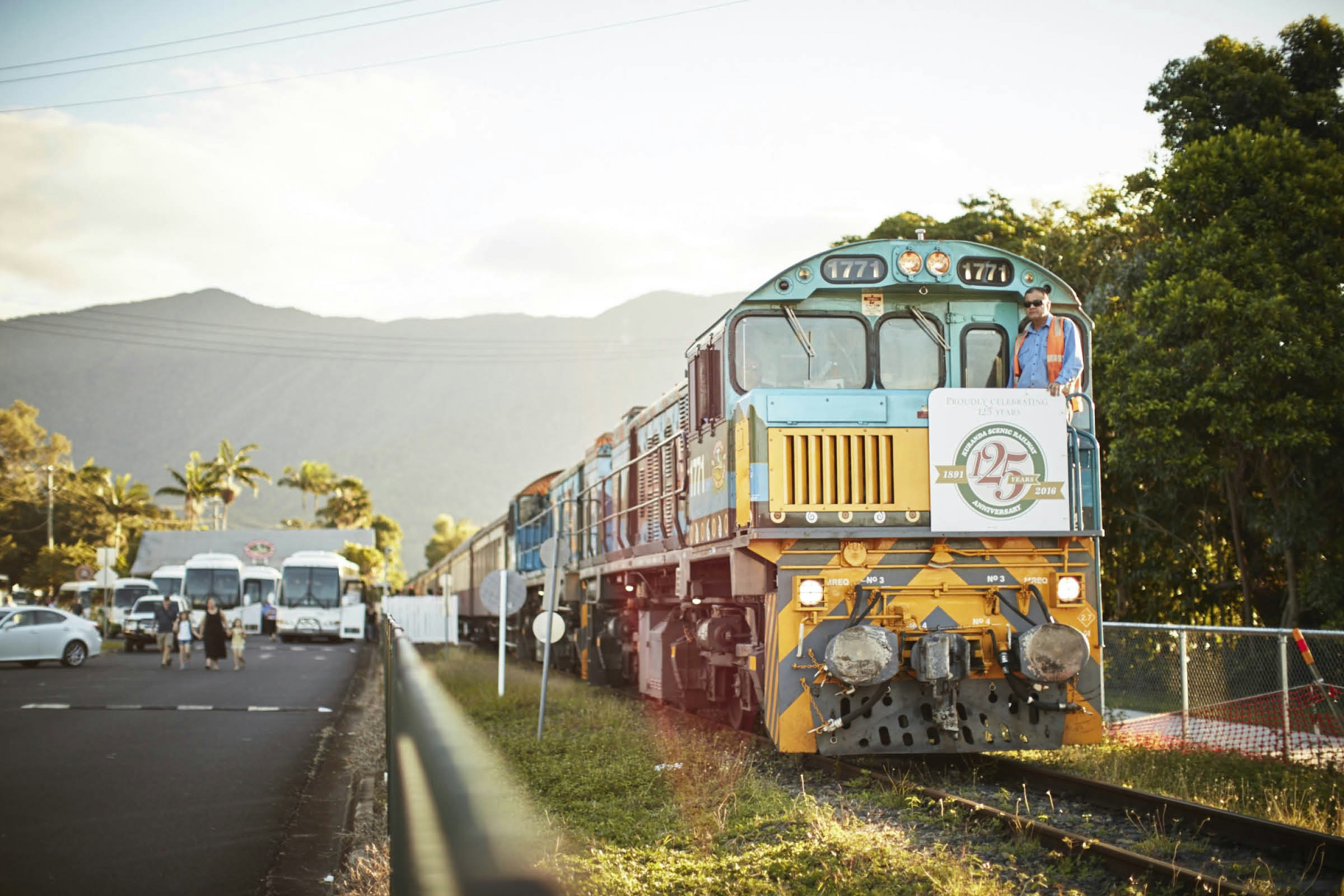
5. An hour’s drive south is the small mountain village of Kuranda, the start of a historic railway that winds through forested hills via tracks carved out by early European settlers. Enjoy views towards the coast and the waterfalls of the Barron Gorge National Park on the two-hour journey to Cairns, the gateway city to the Great Barrier Reef.
Christa Larwood travelled to Queensland with support from Tourism and Events Queensland. Lonely Planet contributors do no accept freebies in exchange for positive coverage.