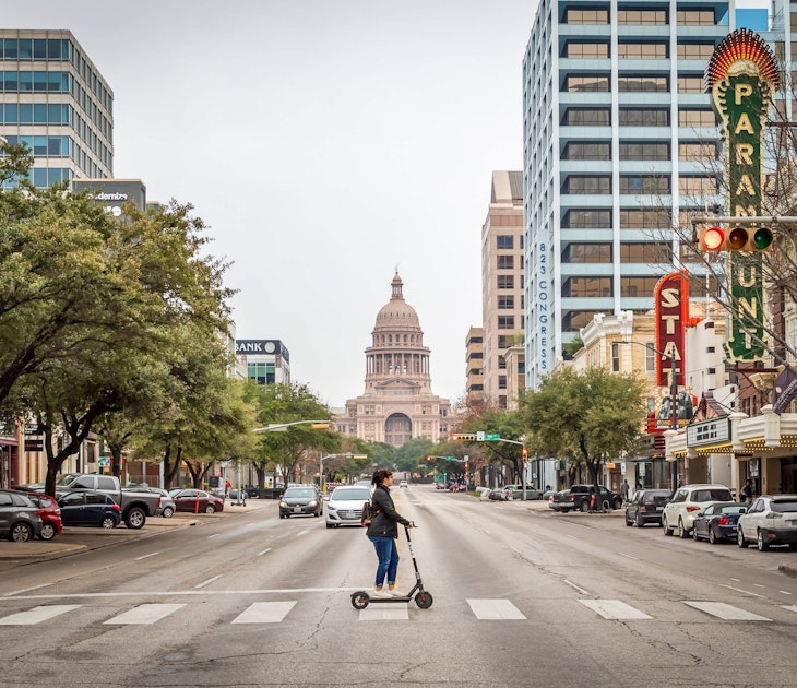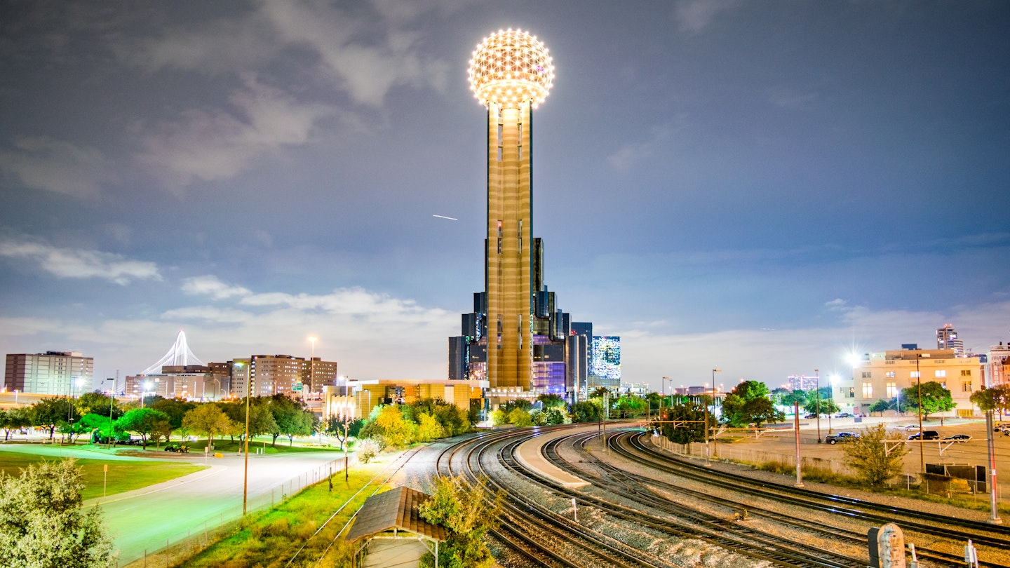
Everything is bigger in Texas, as the saying goes, and it certainly feels that way when you take in Dallas' transportation network of roads, rail lines, and bus routes. The highway overpasses soar and tangle like something out of a Dr. Seuss illustration, shimmering in the Texas heat, while the DART lines snake across the Texas plains en route to suburban hubs like Garland and Plano.
Revving through the midst of all that track and pavement are thousands of buses, trollies and cars that run the gamut from Lamborghinis to last-leg Hondas perched on a set of rubber rims from one of Dallas' ubiquitous used tire shops (the heat can cause a lot of flats). If you're wondering how to navigate it all, no worries. This is what you need to know about getting around Dallas.
Bus & Rail
For a city that loves its freeways, Dallas has surprisingly robust public transit options. DART operates buses and an extensive light-rail system that connects downtown with outlying areas, including service to both area airports. Buy tickets on board buses or from vending machines at rail stops. A Day Pass will run you $6 for local and $12 for regional.
Buying a Go Pass can simplify your route and eliminate the need for cash, and you can pick them up or refill them at all sorts of spots in Dallas, from 7-Eleven and Tom Thumb convenience stores to mom-and-pop bodegas.

Bus
Dallas's bus system map can boggle your senses if you aren't used to the scale of the metroplex, but it doesn't have to overwhelm. Google Transit and DART's travel planning tools make it easier than ever to find and time the best route too and fro. Just keep in mind that the bus is going to be slower and sweatier than other forms of transit thanks to the city's size and climate. A single, cash-only fare is just $2.50 one-way. If you're buying you pass on the bus itself, you need exact change in either bills or coins.
DART Light Rail
Since 1996, DART has established itself not only as an easy way to get around the city without a car, but also the longest light rail system in the US. Two of the best lines for visitors are some of the newest, with the Orange Line's latest iteration opening as recently as 2021. DART runs seven days a week from 4:30 AM through thirty minutes after midnight.
Trains come every 15 minutes during peak hours and 30 minutes on off hours. You can expect a train roughly every 20 minutes on weekends during business hours. Just plan ahead if you're hoping to take DART to a major event like the State Fair or Fair Park Fourth – a lot of other Dallasites will have the same idea.

The DART Red Line runs from Parker Road to Westmoreland Station, passing through the Oak Cliff and Cockrell Hill neighborhoods to the southwest through downtown and on up between Highland Park, Lower Greenville and on up to Richardson and downtown Plano.
The DART Blue Line runs from the UNT Dallas Station south of downtown to Rowlett Station east of Garland. You'll pass through parts of Oak Cliff, White Rock, and Lake Highlands along the way.
The DART Green Line is one of the most useful for tourists. It runs from the North Carrollton/Frankford Station to Buckner Station, including service to Dallas Love Field. It takes 15 minutes from downtown to the Inwood/Love Field Station, followed by a short transfer on bus 524. From downtown, the trip takes 30 minutes ($2.50). The Greenline passes through Deep Ellum, downtown, the Arts District, and offers transfer to the A-Train to Denton.
The DART Orange Line connects the DFW International Airport Station to Parker Road. It takes one hour from downtown to the airport station in Terminal A ($5). From here you can access the other terminals via the people mover system. The Orange Line also connects the University of Dallas, Love Field, downtown, the arts district, and Highland Park, making it one of the second best routes for visitors.
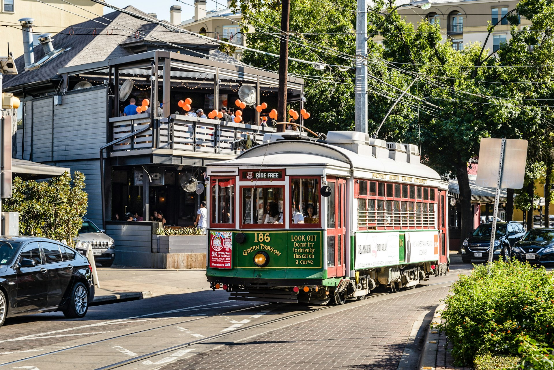
DART also runs the Trinity Railway Express, which links Dallas Union Station with Fort Worth (one hour), and the Dallas Streetcar between Union Station and the Bishop Arts District. Travel from downtown to uptown on the historic, free M-Line Trolley, which runs from the St Paul DART station via the Arts District and up McKinney Ave to City Place/Uptown Station.
Car & Motorcycle
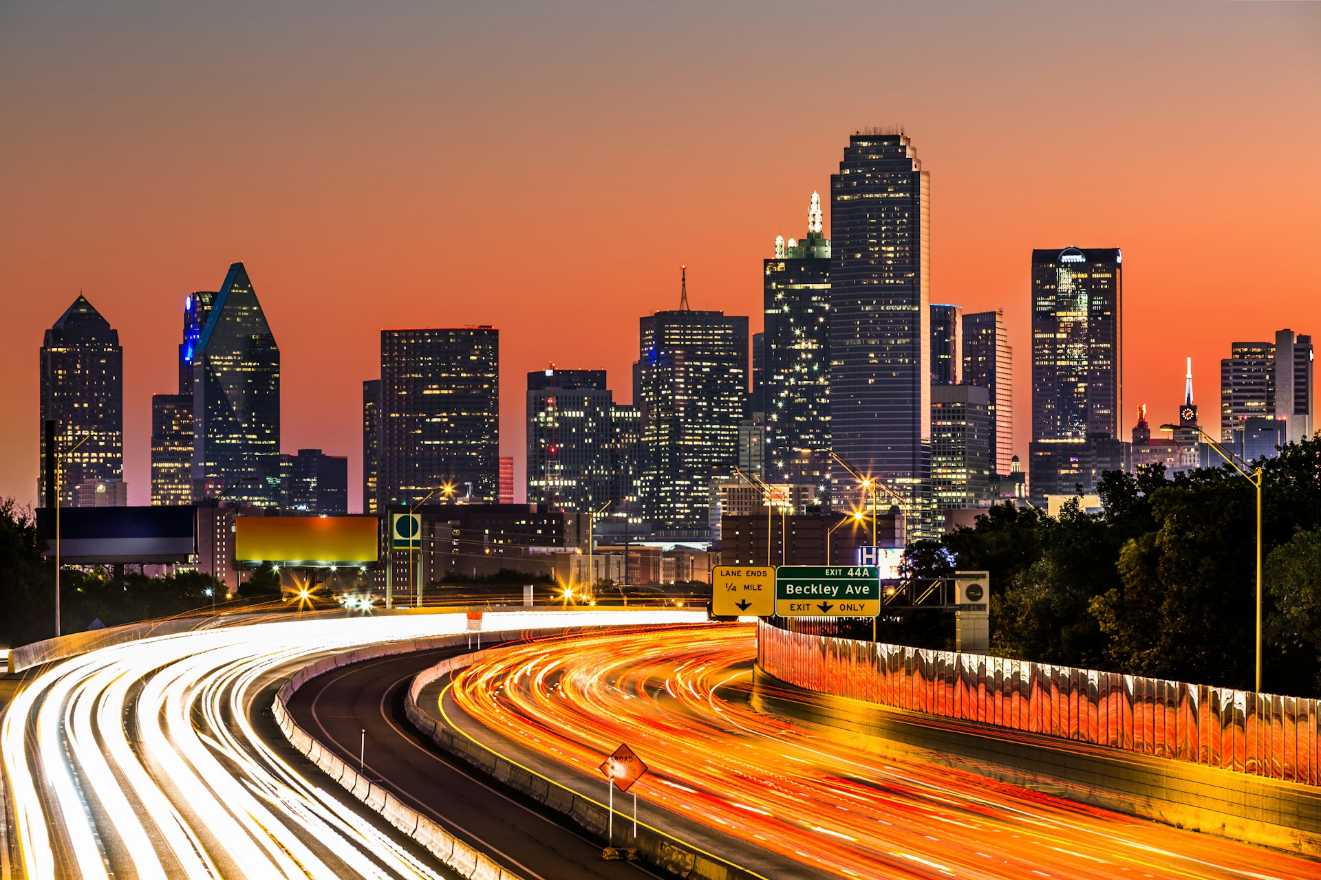
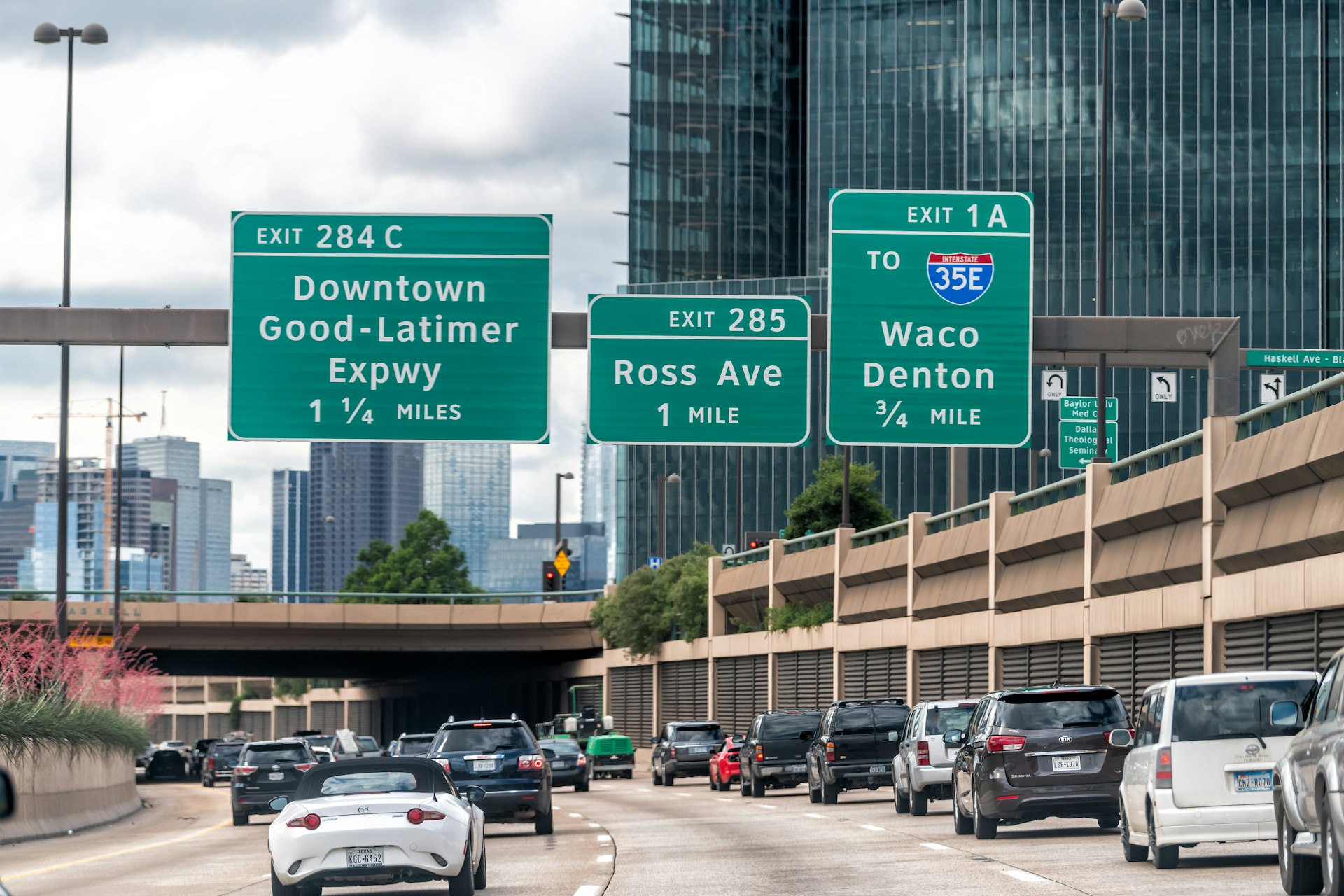
Although not as sprawling as Los Angeles or even Houston, Dallas covers a whole lotta ground. Daytime highway traffic is bad, and there's no getting around that.
Downtown Dallas is east of the junction of I-30 and I-35 E; take the Commerce St exit off I-35. Trendy Uptown lies just north of downtown; follow N Akard St to McKinney Ave. Northeast of downtown, local bars and restaurants line Greenville Ave; the Knox-Henderson area begins where N Henderson Ave intersects the lower end of Greenville, and turns into Knox where it crosses I-75.
To reach Deep Ellum, follow Commerce St just east of downtown; Elm St, another main artery of the neighborhood, runs parallel to it two blocks north. The Bishop Arts District is west of downtown and south of I-30, which connects to Fort Worth, 30 miles to the west.
Parking isn't as expensive as it is in other major cities, but you shouldn't expect to find free spots downtown. Be careful when parking in spots that ask you to type in the space number (common around Deep Ellum) – get it right, or you may get towed. Consider finding a parking garage or using a sunshade to keep your car more comfortable upon return.
Taxis and Rideshares
There are a number of taxi companies in Dallas, as well as rideshare companies including Alto, Lyft, Uber, and Wingz. Uber is definitely the heavy hitter in the area – they announced in 2019 intentions to make Dallas their next biggest corporate hub outside the Bay Area, with a big new office in Deep Ellum and work in the region testing air taxis. Be sure to double check how far you'll really be traveling before committing to a ride, or the fees can add up whichever service you use. Sometimes it's better to use rideshares to solve the "last mile problem" between a transit stop and your final destination.
Accessible transportation in Dallas
Dallas is not the most pedestrian- or cyclist-friendly city, with its neighborhoods partitioned by freeways and plenty of miles, so it also presents certain challenges for disabled travelers, especially those with mobility considerations. That said, Dallas' downtown neighborhood is quite manageable, and its public transit offerings give disabled travelers an advantage over other Texan cities like Houston that are more car-dependent.
DART buses and trains are accessible for passengers with disabilities and who use mobility aids, including wheelchairs. Buses are equipped with wheelchair ramps, disabled seating sections, and wheelchair securement equipment. Trains feature a low-floor area for those with mobility aids, and priority seating. Passengers with disabilities qualify for a reduced fare, with a Day Pass costing $3.00.