Point Reyes National Seashore protects 100 square miles of pristine ocean beaches and coastal wilderness and has excellent hiking and camping opportunities. This windswept peninsula is a rough-hewn beauty that has always lured marine mammals and migratory birds; it's also home to scores of shipwrecks. Be sure to bring warm clothing, as even the sunniest days can quickly turn cold and foggy. Driving around Point Reyes is fabulous in itself, but the area is best experienced by getting out onto the area trails and beaches.

Indigenous history and shipwrecks
For millennia before European colonizer arrived, Point Reyes was home to the Coast Miwok, and the peninsula supported villages such as Echa-kolum, Sakloki, and Utumia filled with thousands of people. Indeed, some of the place names throughout the Point Reyes area have been retained from the Miwok language, including the town of Olema.
Today there is a replica Miwok village run by the National Parks Service called Kule Loklo, meaning "Bear Valley," where you can get a glimpse of what life on Point Reyes was like before the construction of the Mission San Rafael in the early 1800s.
One of the earliest Europeans to encounter the Coast Miwok was the famous explorer Sir Francis Drank. In 1579, Drake landed here to repair his ship, the Golden Hind. During his five-week stay he mounted a brass plaque near the shore claiming this land for England. In 1595 the first of many ships lost in these waters went down. The San Augustine was a Spanish treasure ship out of Manila, laden with luxury goods; to this day bits of its cargo still wash up on shore.

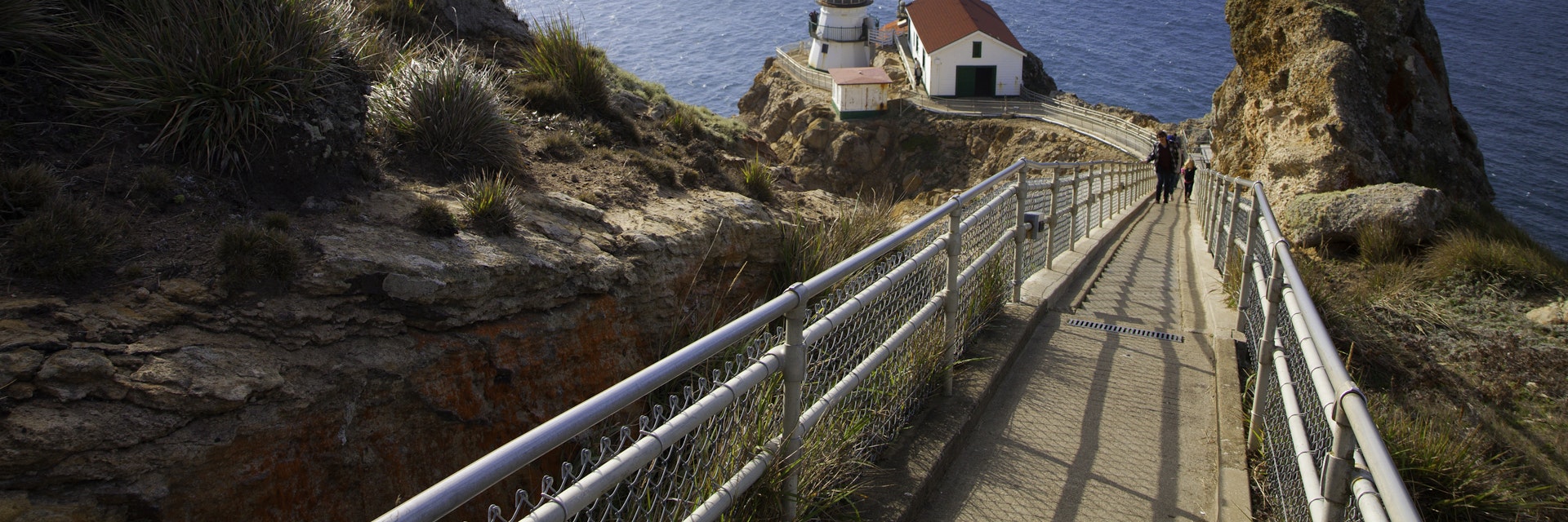
Despite modern navigation, the dangerous waters here continue to claim the occasional boat. Hence the significance of the Point Reyes Lighthouse, which was as utilitarian as it is picturesque, warning boats of treacherous conditions for over a hundred years. With wild terrain and ferocious winds, this spot feels like the end of the earth and offers the best whale-watching along the coast. The lighthouse, which reopened in late 2019 after a multimillion-dollar renovation, sits below the headlands; to reach it you need to descend more than 300 stairs.
In 1962, concerned that Point Reyes would be spoiled by developers encroaching on the pristine beach, local and regional conservationists and campaigners succeeded in persuading the federal government to protect the peninsula as a relatively new national seashore – the first and only land designated as such on the west coast.

Beaches
Point Reyes beaches are wild, white and remote. Depending on the time of year, you may see an array of nesting birds, pupping elephant or harbor seals and even mama and baby gray whales coming in close to shore. Every strip of sand is a long drive from anywhere but every one is worth the effort.
For families with young kids, head northwest of the town of Inverness. Pierce Point Rd splits off to the right from Sir Francis Drake Blvd. The road lets you access a lovely swimming beach: the seductively named Heart's Desire, in Tomales Bay State Park.
Limantour Rd, off Bear Valley Rd about 1 mile north of Bear Valley Visitor Center, leads to Limantour Beach, where a 2-mile trail runs along Limantour Spit with Estero de Limantour on one side and Drakes Bay on the other. This is a great all-around beach (note that it gets busy on sunny weekends) and the drive is a little shorter than to the others.
The more wild-feeling but equally popular Drakes Beach is backed by white sandstone cliffs and is arguably the most scenic of the main beaches. There's also a ton of parking, a pricey snack bar (only open on weekends and holidays) and the seasonal Kenneth Patrick Center, which offers assistance and information.
Dogs are allowed on a portion of Limantour Beach, but if you're traveling with Fido you're best off leaving the National Seashore altogether and going north along the coast to dog- and kid-friendly Dillon Beach near the tiny town of Tomales.

Hiking in Point Reyes
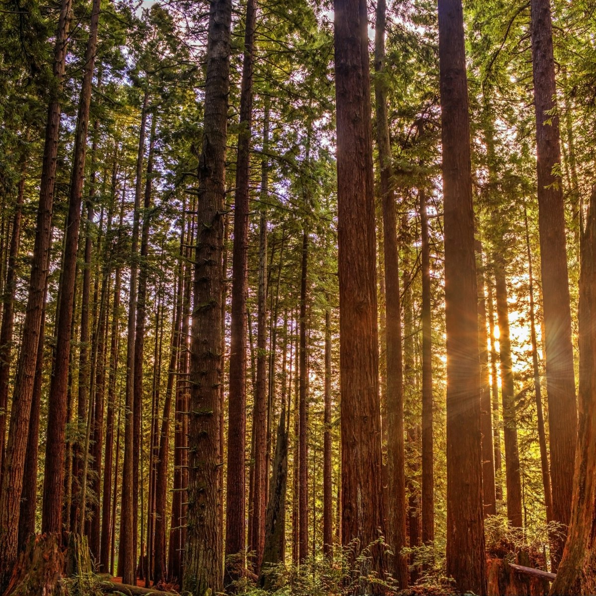
Trails crisscross Point Reyes over hillsides and along the shoreline. There are myriad options, many with fantastic wildlife viewing and the chance to dip your toes in the sea. Get maps and ideas from the Bear Valley Visitor Center.
An easy place to start for a curious view is to follow the 0.6-mile Earthquake Trail from the picnic area opposite Bear Valley Visitor Center. The trail reaches a 16ft gap between the two halves of a once-connected fence line, a lasting testimonial to the power of the 1906 earthquake that was centered in this area. Another trail, this one 0.8-miles, leads from the visitor center around Kule Loklo, a reproduction of a Coast Miwok village.
For views, the Inverness Ridge Trail heads from Limantour Rd for around 3 miles up to Mt Vision (1282ft), affording spectacular vistas of the entire national seashore. You can drive almost to the top of Mt Vision from the other side.
If wildlife is more your thing, Pierce Point Rd continues to the huge windswept sand dunes at Abbotts Lagoon, full of peeping killdeer and other shorebirds. At the end of the road is historical Pierce Point Ranch, the trailhead for the 9.4-mile round-trip Tomales Point Trail through the Tule Elk Reserve. The plentiful elk are an amazing sight, standing with their big horns against the backdrop of Tomales Point, with Bodega Bay to the north, Tomales Bay to the east and the Pacific Ocean to the west.

How to get to Point Reyes
By car you can get to Point Reyes a few different ways. The curviest is along Hwy 1, through Stinson Beach and Olema. More direct is to exit Hwy 101 in San Rafael and follow Sir Francis Drake Blvd all the way to the tip of Point Reyes. By either route, it’s less than 1½ hours to Olema from San Francisco barring weekend and rush-hour traffic jams.
Just north of Olema, where Hwy 1 and Sir Francis Drake Blvd come together, is Bear Valley Rd; turn left to reach Bear Valley Visitor Center. If you’re heading to the outermost reaches of Point Reyes, follow Sir Francis Drake Blvd north toward Point Reyes Station, turning left and heading out onto the peninsula (at least a 45-minute drive).
West Marin Stagecoach route 68 from San Rafael stops several times daily at the Bear Valley Visitor Center ($2, 70 minutes) before continuing to the town of Point Reyes Station.
On good-weather weekends and holidays from late December through mid-April (gray whale migration season), the road to Chimney Rock and the lighthouse is closed to private vehicles; this is done to reduce traffic and ease parking problems. Instead you must take a shuttle ($7, children under 16 free) from Drakes Beach. Tickets are sold until 3pm (though they may run out earlier in the day). The last return bus departs Drakes Beach at 3:30pm, the lighthouse at 5pm and Chimney Rock at 5:30pm.

Where to stay and eat
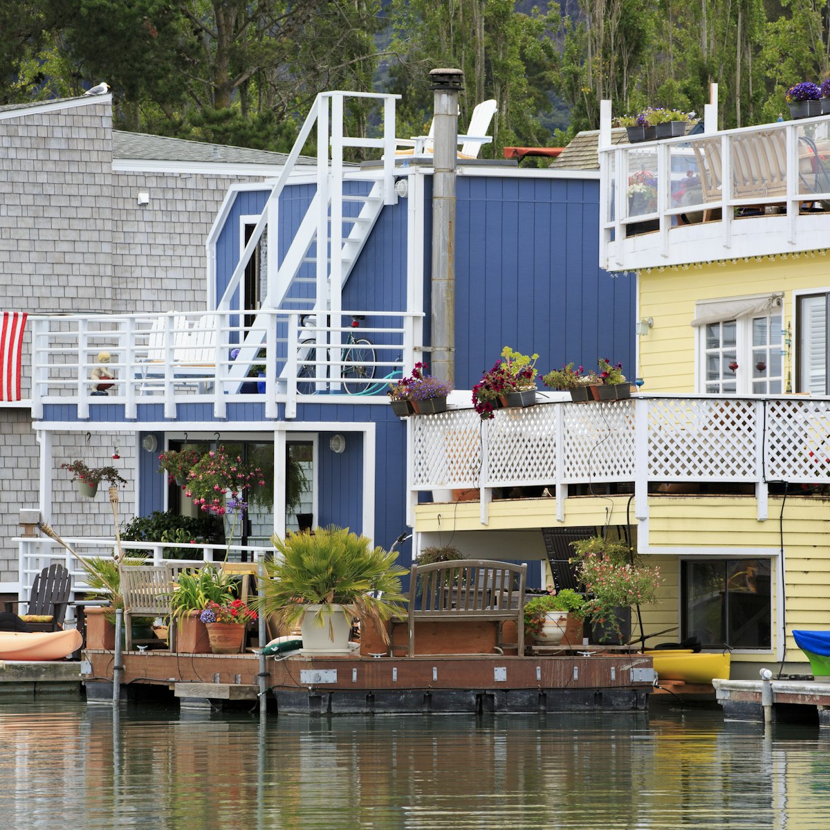
Wake up to deer nibbling under a blanket of fog at one of Point Reyes’ very popular backcountry campgrounds, or stay at the pastoral hostel. More inns, motels and B&Bs are found in nearby Inverness, off Sir Francis Drake Blvd.
Point Reyes' campgrounds have some nice amenities for the backcountry, with vault toilets, water (not always potable) and picnic tables (no fires). All require a 1.5- to 5.5-mile hike or bike ride each way. Permits are required; reservations are accepted up to six months in advance and sell out quickly. You must pick up your permit at the Bear Valley Visitor Center.
As for indoor accommodations, HI Point Reyes is an excellent place to post up. Just off Limantour Rd, this rustic hostel has bunkhouses with warm and cozy front rooms, big-view windows and outdoor areas with hill vistas. A newer ecofriendly building has four private rooms (two-night minimum stay on weekends) and a modern kitchen. It’s in a beautiful secluded valley 2 miles from the ocean and surrounded by lovely hiking trails.
As for good eats, Inverness has only a couple of options scattered along Sir Francis Drake Blvd as you drive out toward the tip of the peninsula. Foodies will find many more restaurants, cafes, a bakery and a famous cheese shop in Point Reyes Station, a few miles north of Bear Valley Visitor Center. After hours, your options are to either listen for coyotes if you're camping or head to Point Reyes Station if you're looking for boozier action.