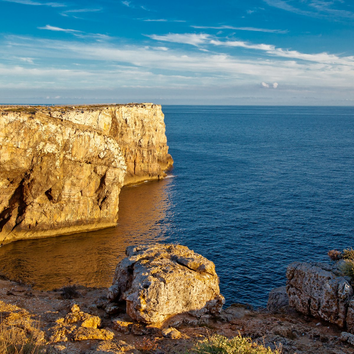
Blank, hulking and forbidding, Sagres’ fortress offers breathtaking views over the sheer cliffs, and all along the coast to Cabo de São Vicente. Legend has it that this is where Prince Henry the Navigator established his navigation school. It's quite a large site, so allow at least an hour to see everything.
Inside the gate is a huge, curious stone pattern that measures 43m in diameter. Named the rosa dos ventos (literally, a pictorial representation of a compass), this strange configuration is believed to be a mariner’s compass or a sundial of sorts. Excavated in 1921, the paving may date from Prince Henry’s time but is more likely to be from the 16th century.
The precinct’s oldest buildings include a cistern tower to the east, a house and the small, whitewashed, 16th-century Igreja de Nossa Senhora da Graça, a simple barrel-vaulted structure with a gilded 17th-century altarpiece. Take a closer look at the tiled altar panels, which feature elephants and antelopes.
Many of the gaps you see between buildings are the result of a 1960s spring clean of 17th- and 18th-century ruins that was organised to make way for a reconstruction (later aborted) that was to coincide with the 500th anniversary of Henry’s death.
Its visitors centre contains a gift shop, an exhibition centre and a cafe.
It's a great walk around the perimeter of the promontory; information boards (in English and Portuguese) shed light on the rich flora and fauna of the area. Don't miss the limestone crevices descending to the sea, or the labyrinth art installation by Portugal's famous sculptor-architect Pancho Guedes.
Near the southern end of the promontory is a lighthouse. Death-defying anglers balance on the cliffs below the walls, hoping to land bream or sea bass.